Today I was all ready to go somewhere else, but looking at the route I intended to take on Google Maps and there were a lot of red sections of traffic along the route. It also being the day after a public holiday and on the way to the weekend, I felt there was the possibility of something going wrong along the route I had chosen.
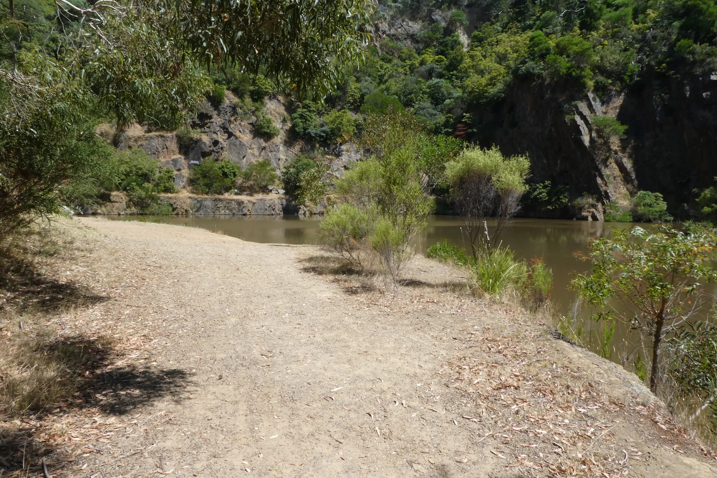
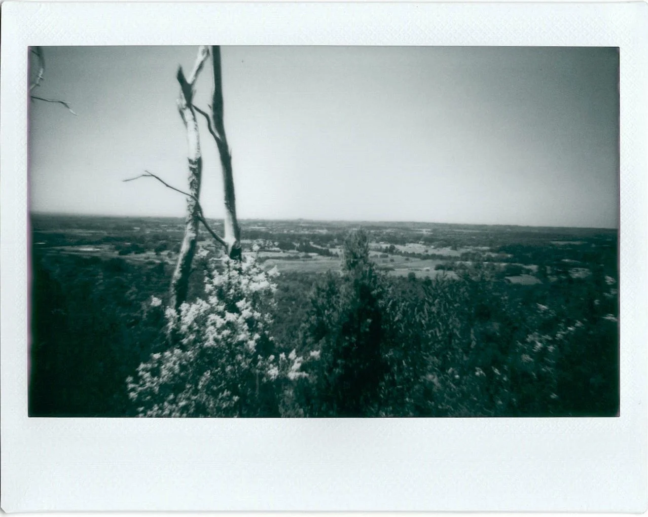
Quarry seen from top path.
With these weekly adventures I've got a list to choose from, and have what I intend to do that day, but also have an alternate, just in case something comes up or I don't feel like doing that primary one or going out to wherever, or something like that. So this was my alternate for today. I feel it reduces the cognitive load rather than just consulting the big list for an alternate.
Moorooduc Quarry, which interestingly isn't located even located in Moorooduc. To give it its full name "Moorooduc Quarry Flora And Fauna Reserve", and it's located in Mt Eliza.
Moorooduc Quarry Flora and Fauna Reserve sign, photo taken 9th September 2005. Sign is no longer there.
I used to come here with my dad when I was a kid, but haven't been back for a wander for 15+ years. I had a look through some photos taken on my first camera phone and found some from 2005, which I think was the last time I came up here.
Moorooduc Quarry Flora and Fauna Reserve, current sign 27th January 2023,
Parking at Balcombe Park opposite, which I should have a wander around at some point having driven past it several times and never gone in to have a look. Supposedly it and the nearby Mt Eliza Regional Park were both tips in the past.
I recall there used to be a wooden sign at the entrance, but it seems to have been taken down in the intervening decade or two since I was last there.
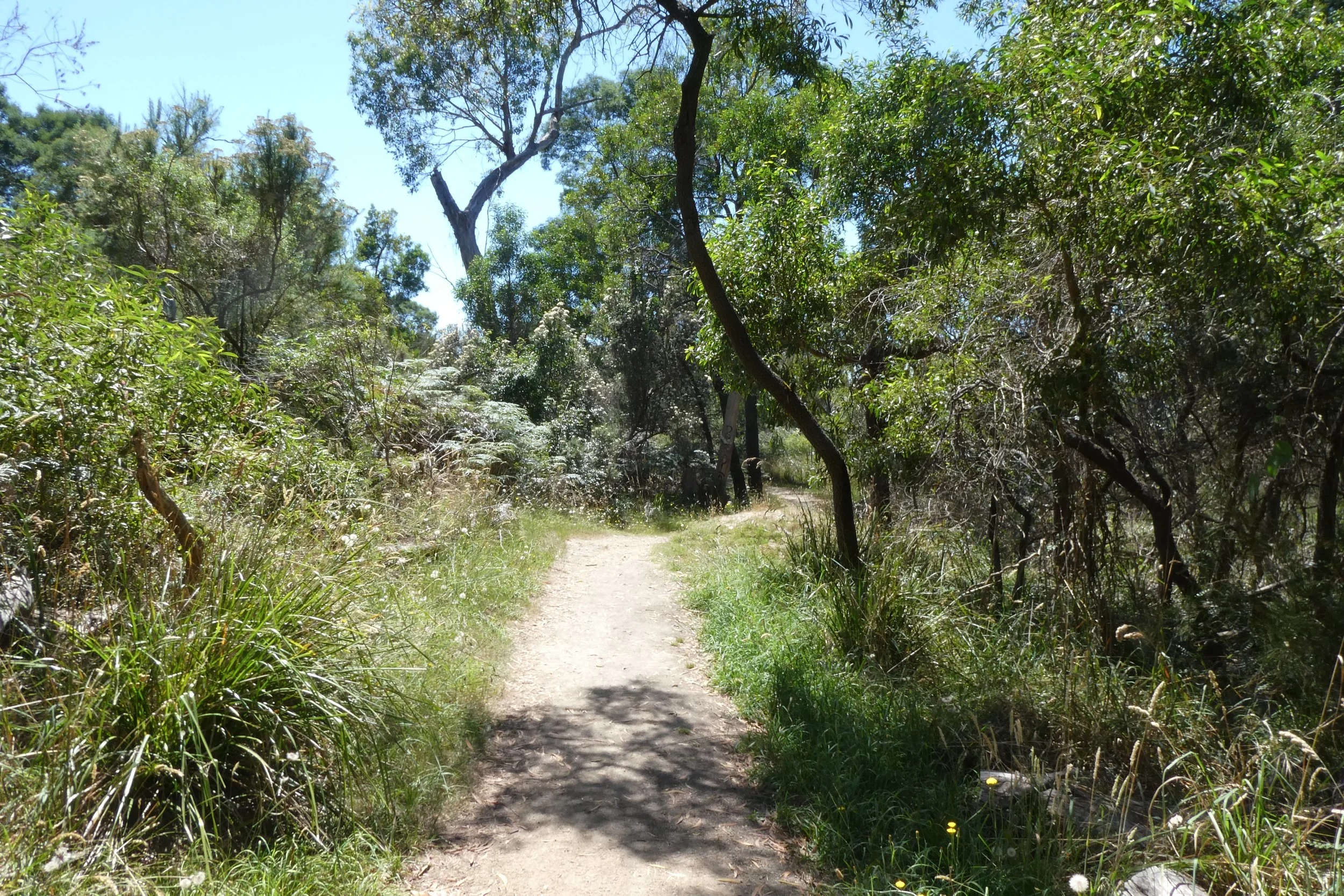
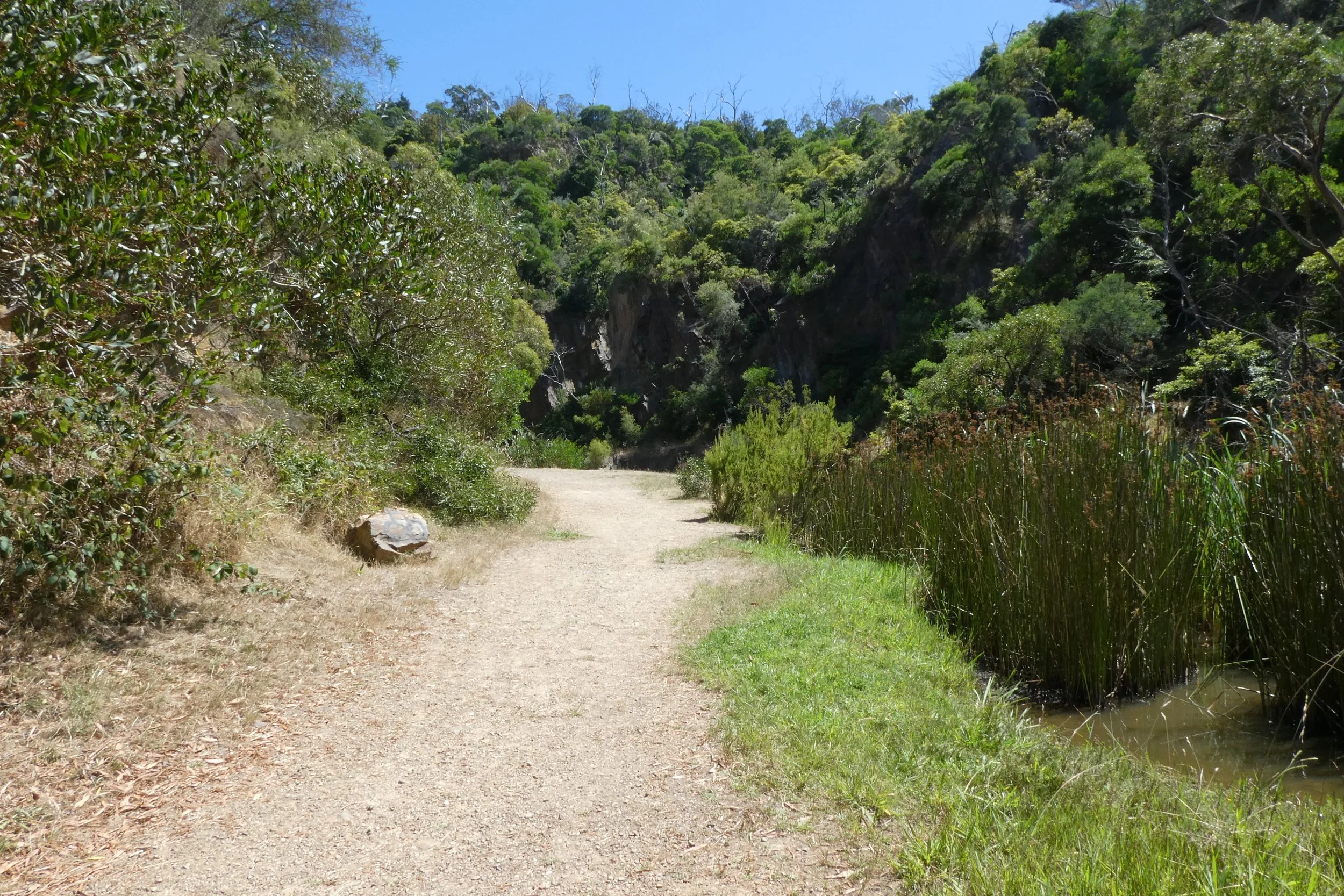
Walking up towards the quarry was nice. There was no one around, and as I got closer to the quarry the sound of the traffic - the nearby Moorooduc Highway started to drop off.


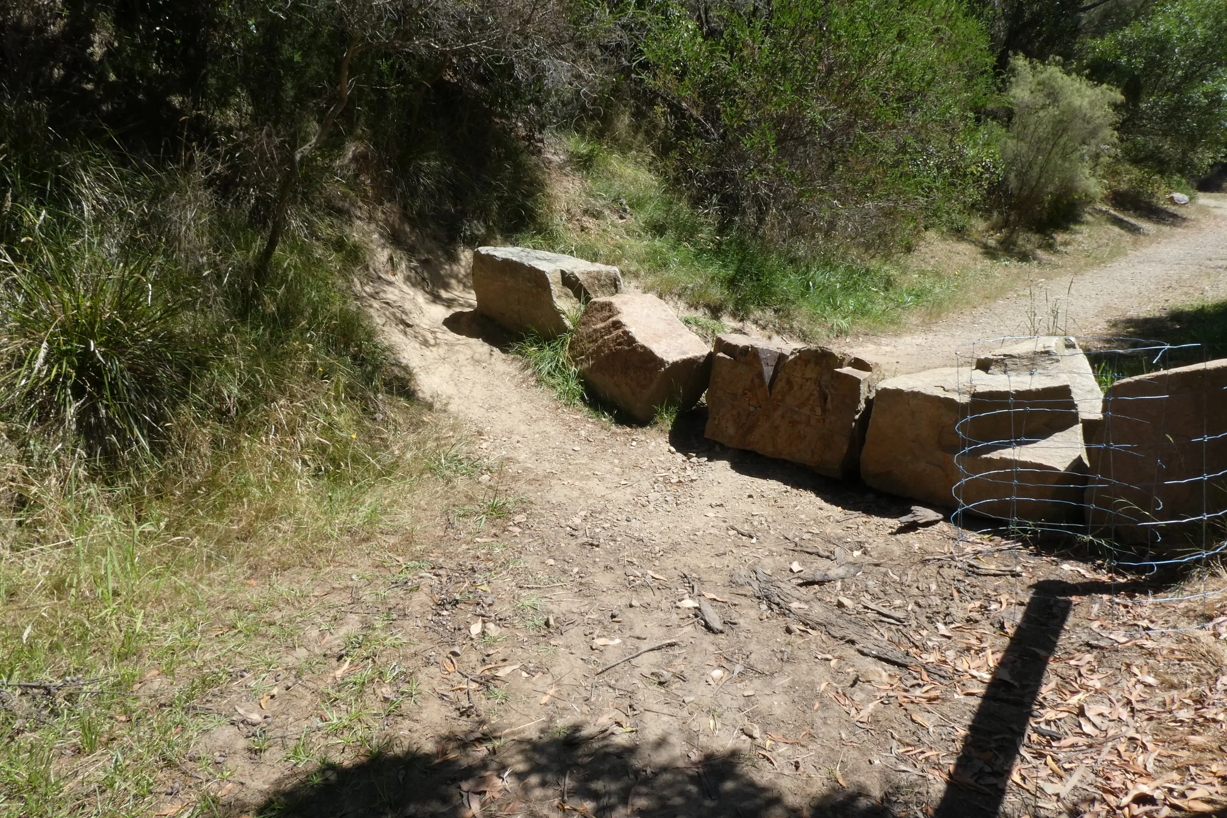
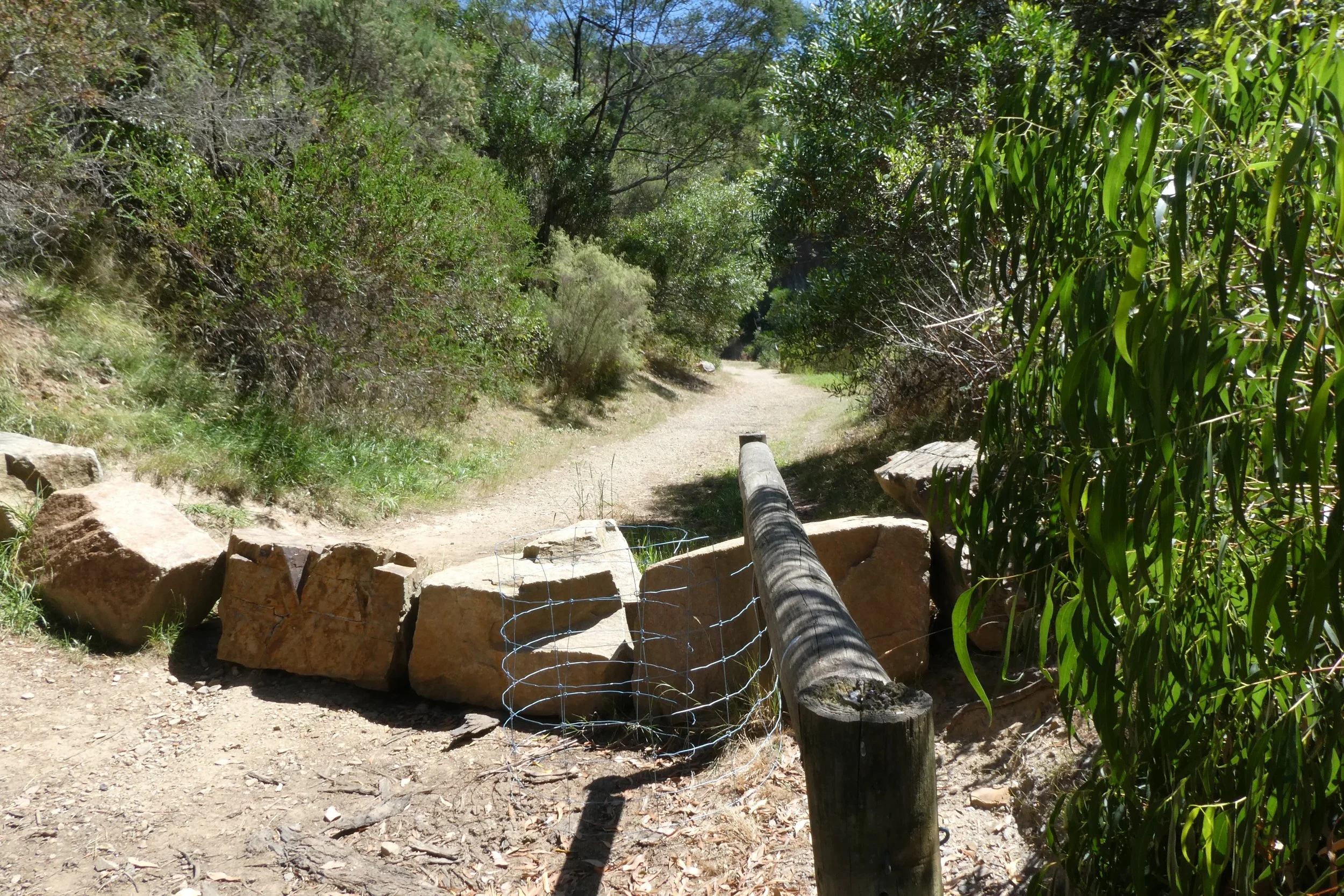
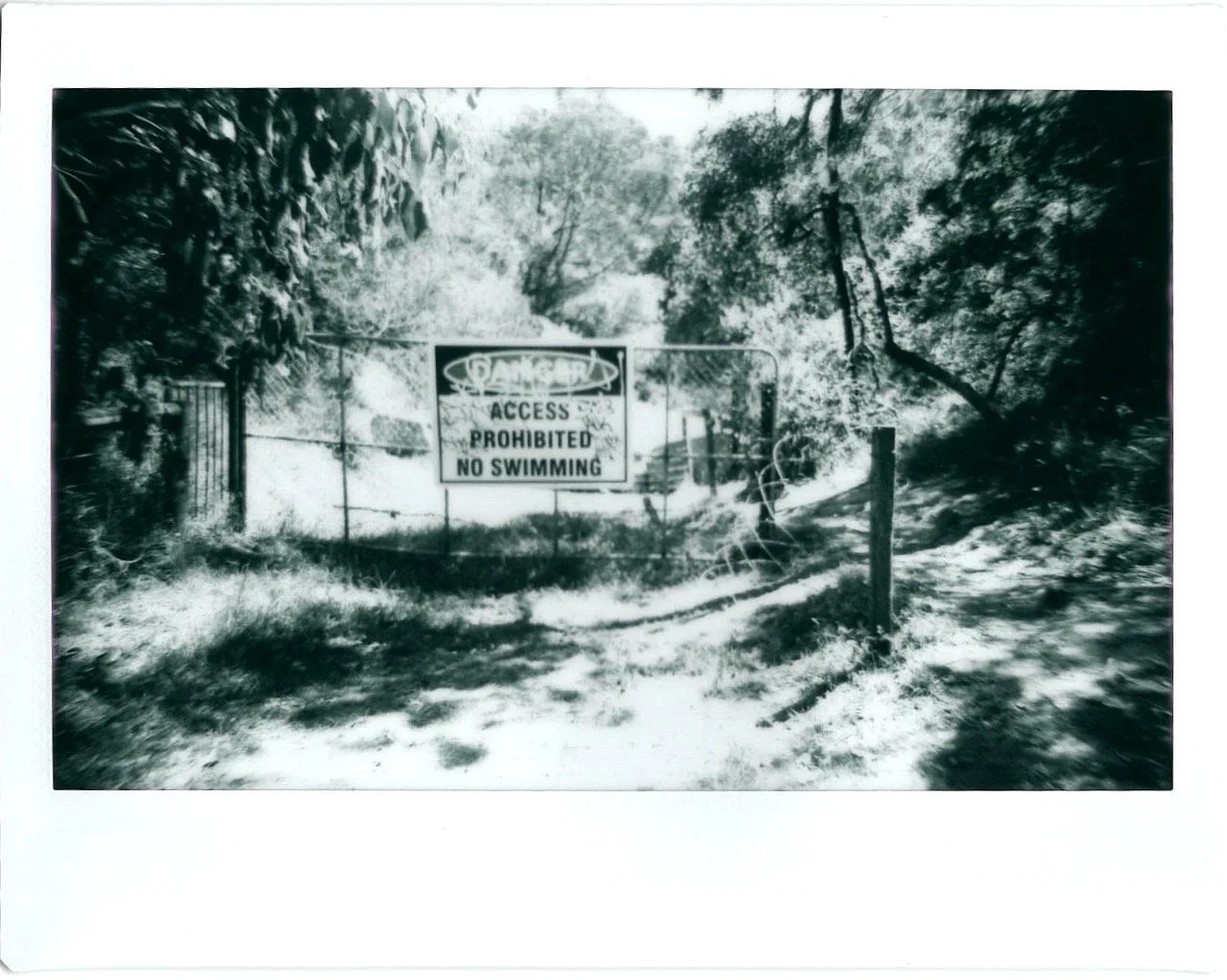
There was a fence and sign preventing access to the quarry.
I remember walking into the quarry when I was a kid, being tempted by the water, but knowing that its murky depths might hide something bad.
My dad said he used to swim there as a kid.
A single pool noodle amongst the lilies.
I saw a lone pool noodle in amongst the lily pads there.
The fence on the side of the sign had been pulled down, and there was a path inviting entry, and a well worn path around the boulders showed that many people had ignored the sign's prohibitions.
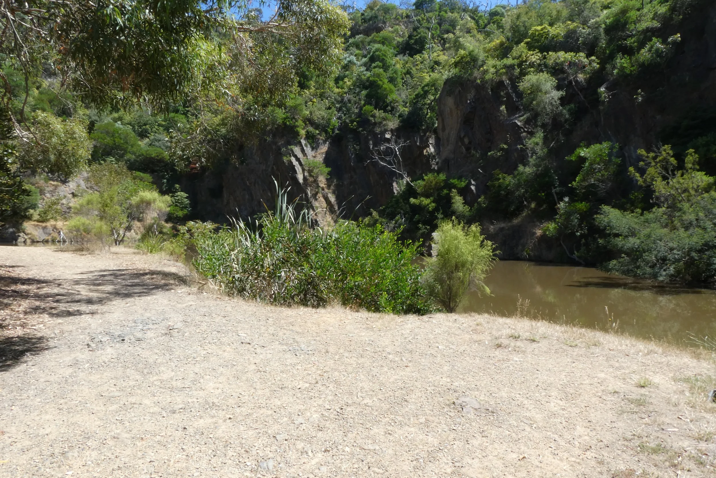
Inside the quarry all traffic noise completely disappeared, so there was just the sound of birds, frogs and other natural sounds.
There were two rocks that had been placed there, as though they were seats or whatever, they'd clearly been placed there rather than having been accidentally placed, like they had intent to be there. Which made the prohibition of entry into the quarry all the more odd.


There was one lone sign warning of the danger of falling rocks, it had long since been graffitied over but you could see that it said "keep clear" and the sign was old enough that bolts holding it to the rock face had started to rust.
There was something that had been set into the ground near to the entrance to the quarry, a plastic container with some sort of relief valve or something in there.
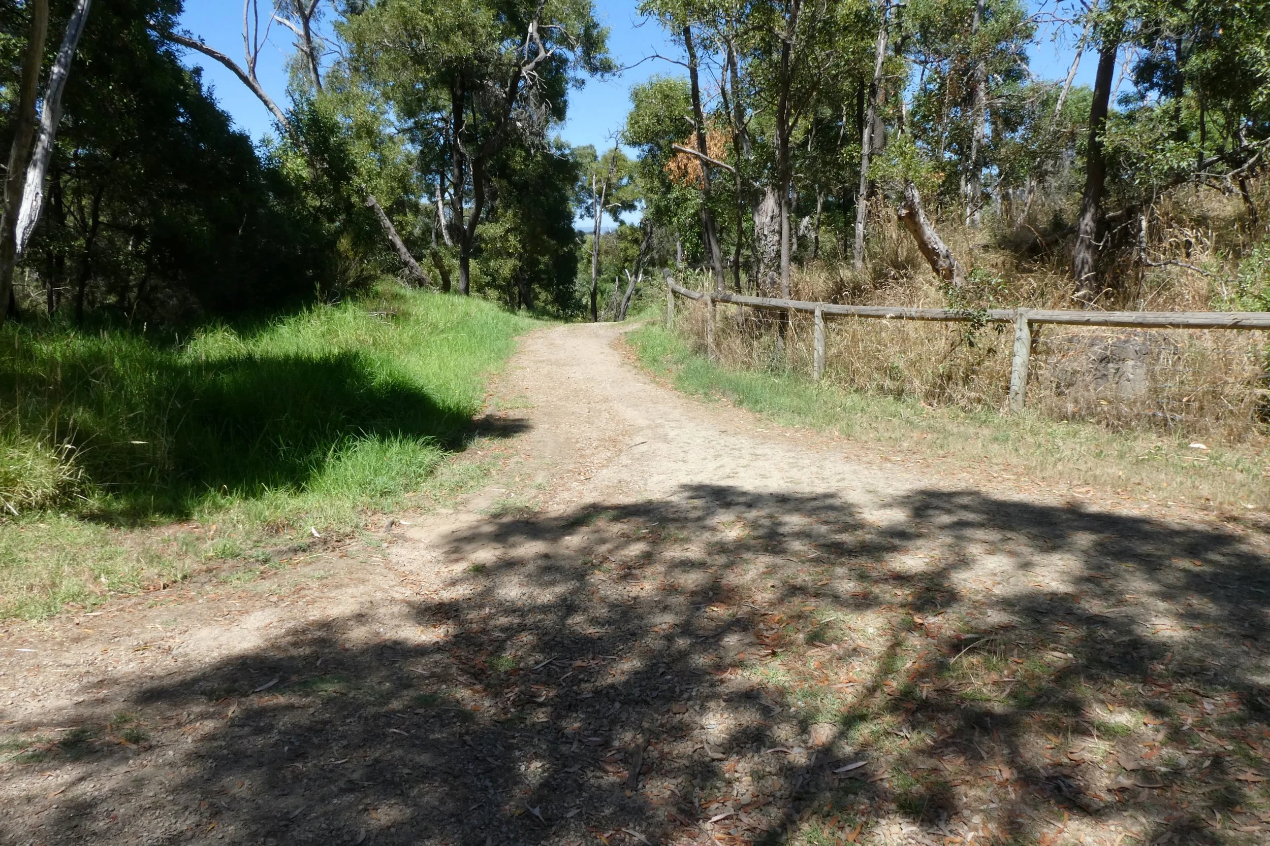
Walking out of the quarry I wondered if I should just return along the path I had trodden up there and go home, or take the other path, up and around, to do a full loop of the quarry.
I elected to do the latter.
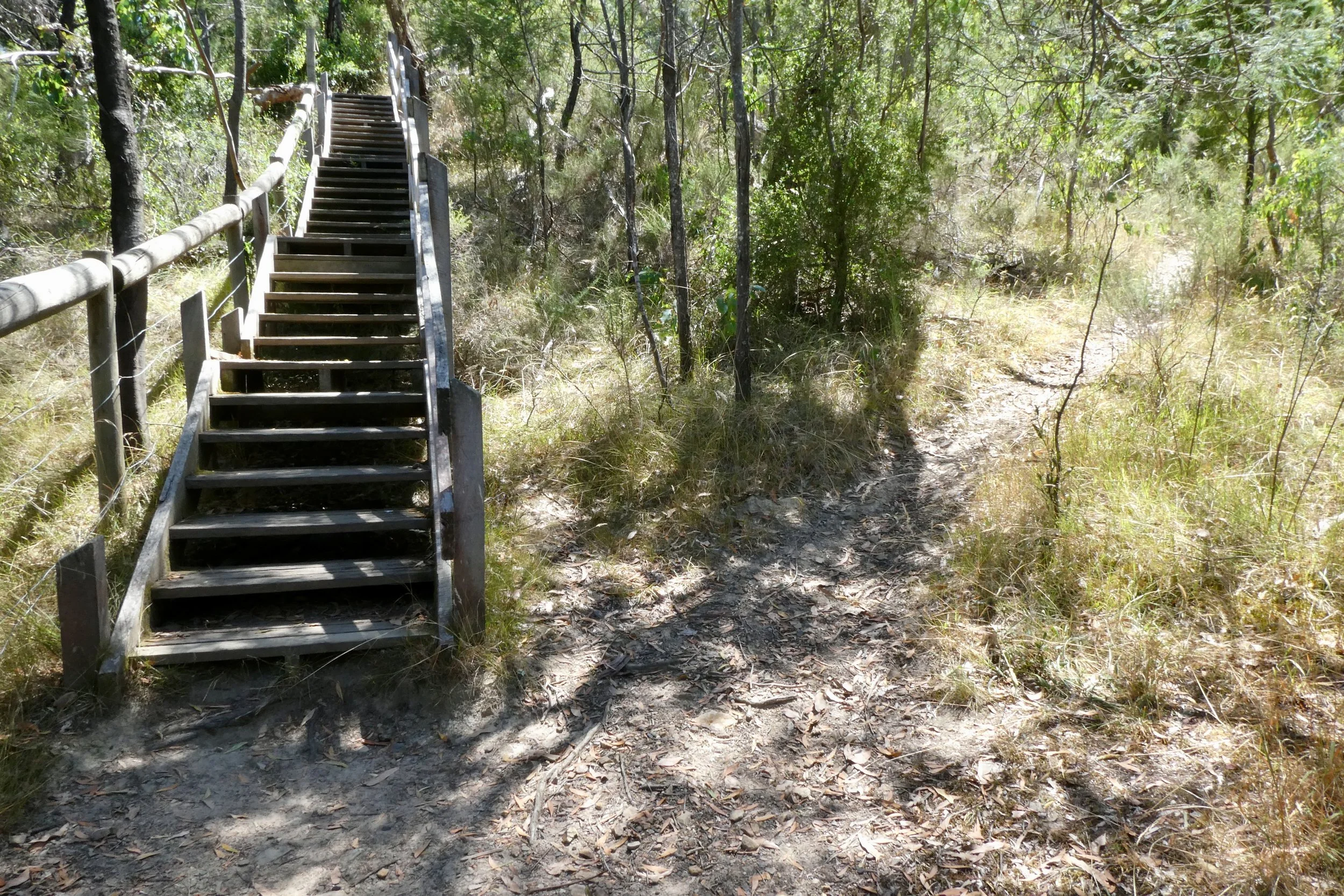
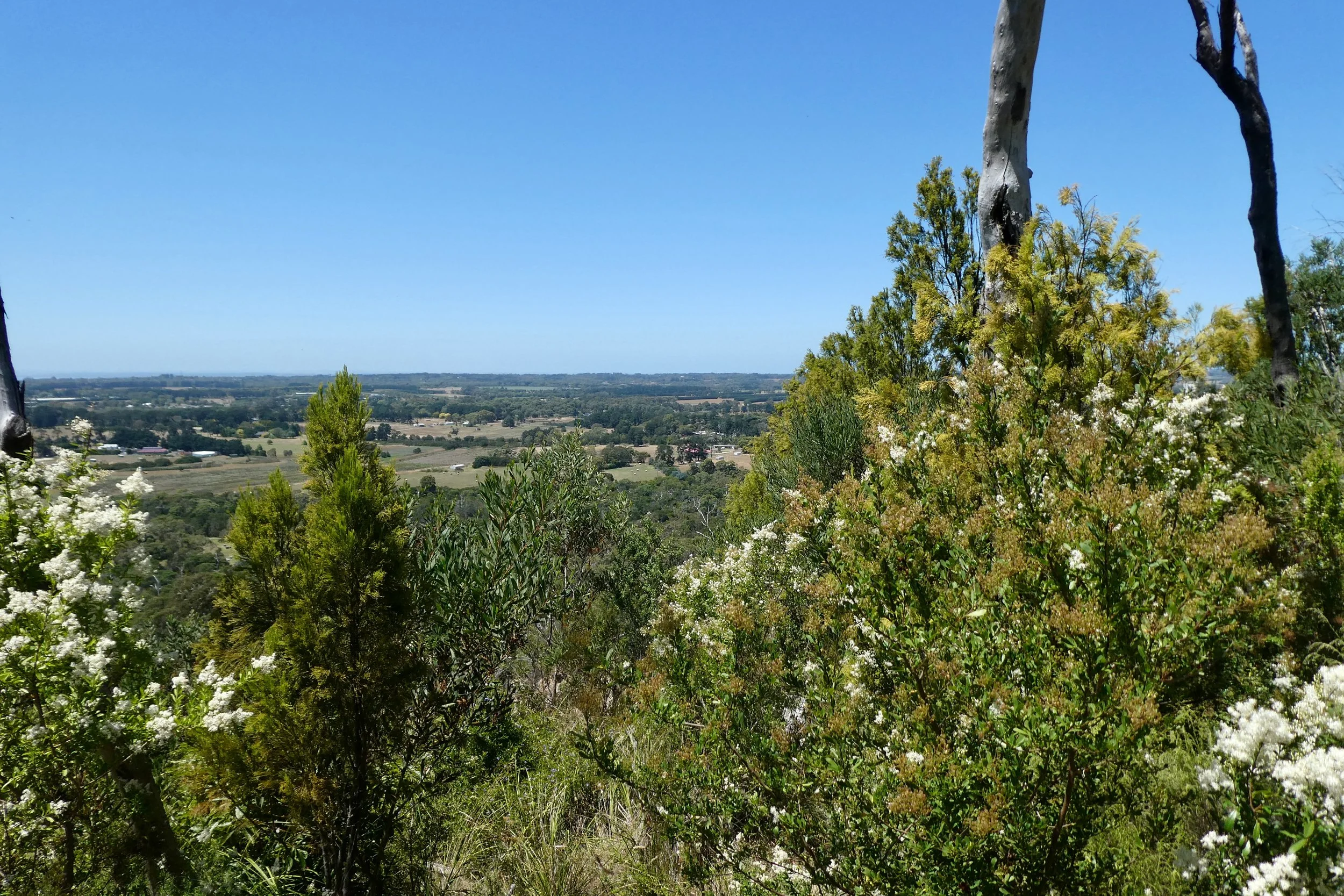
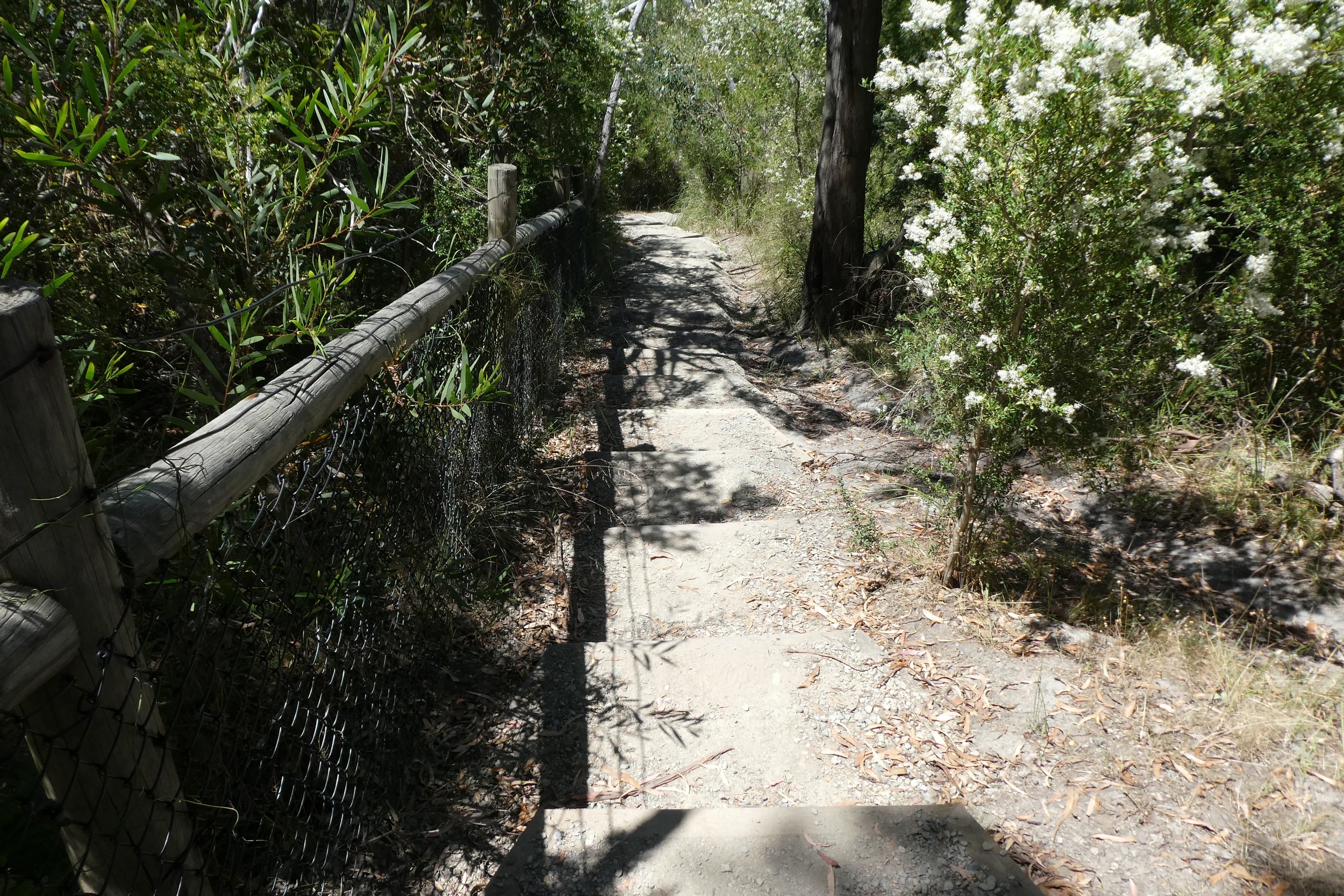
Turning out of the main path I headed for the stairs, not quite appreciating how many stairs there would be, nor...well I did appreciate how high it was, having stood down in the quarry looking up.
The amount of stairs wasn't what troubling or that hard, I sweated a little bit, but it wasn't too hard getting to the top, especially as I stopped to take photos and look around every so often.
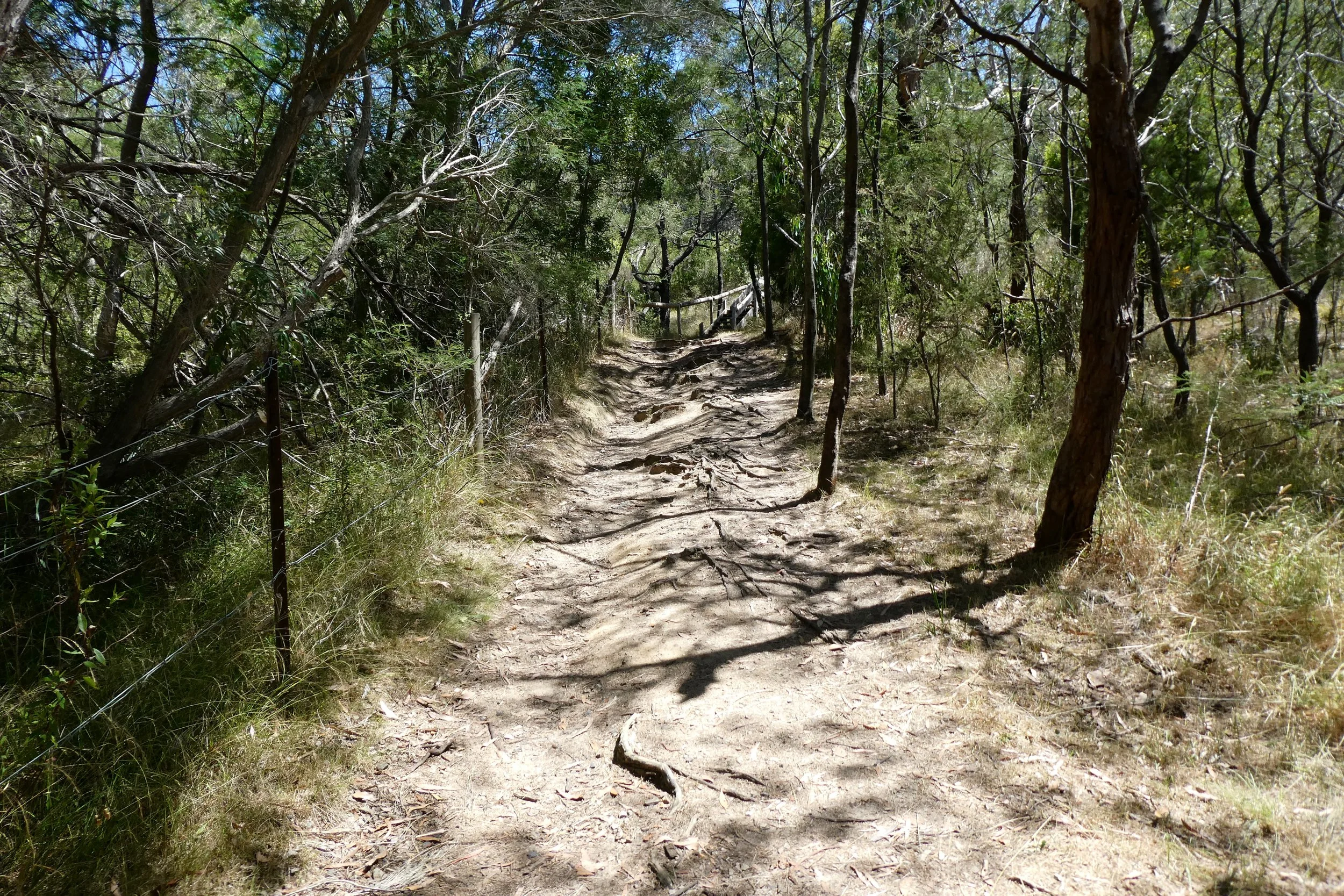
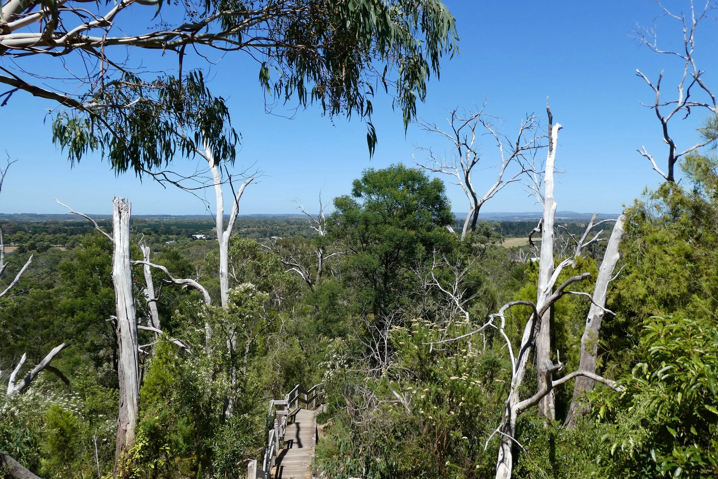
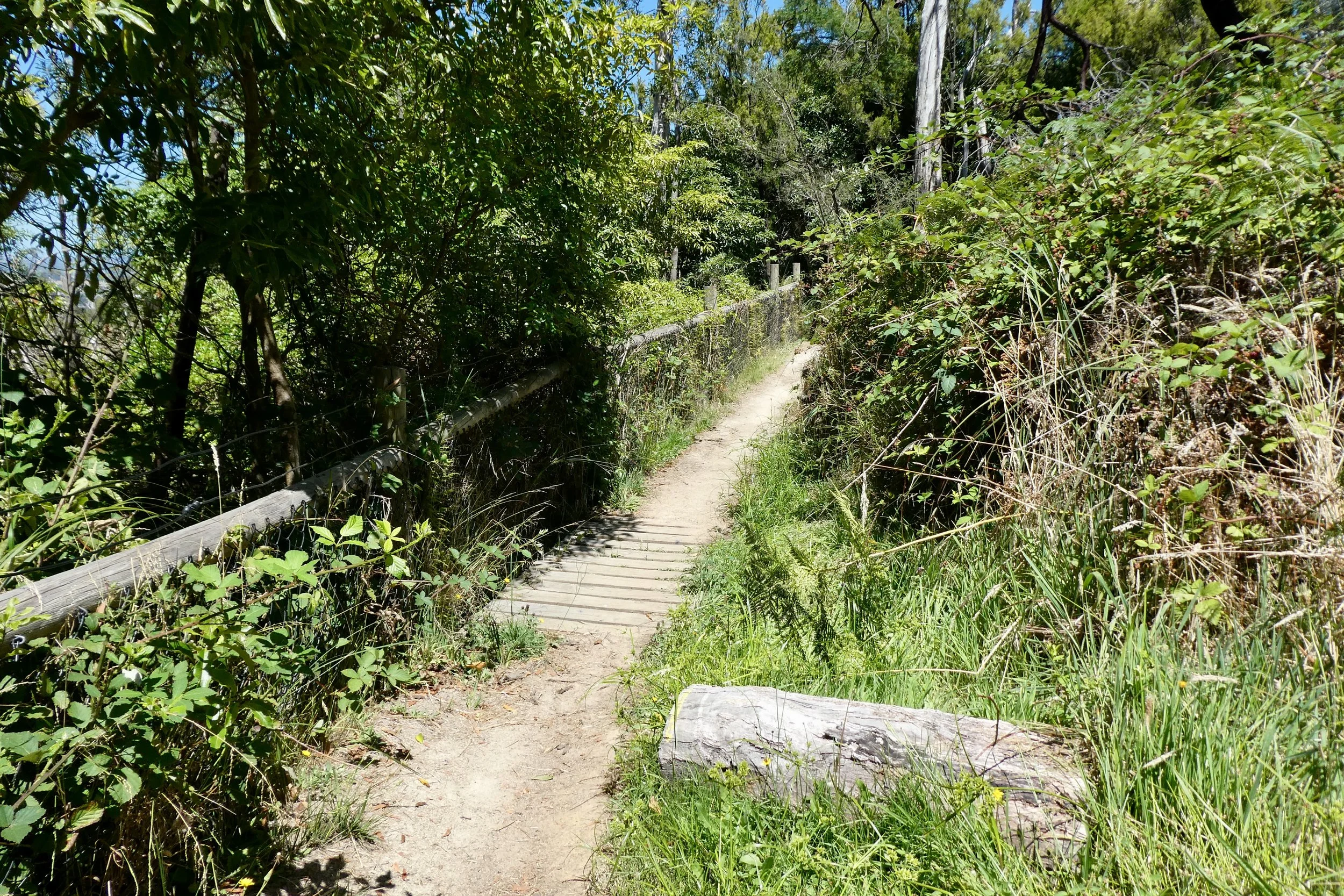
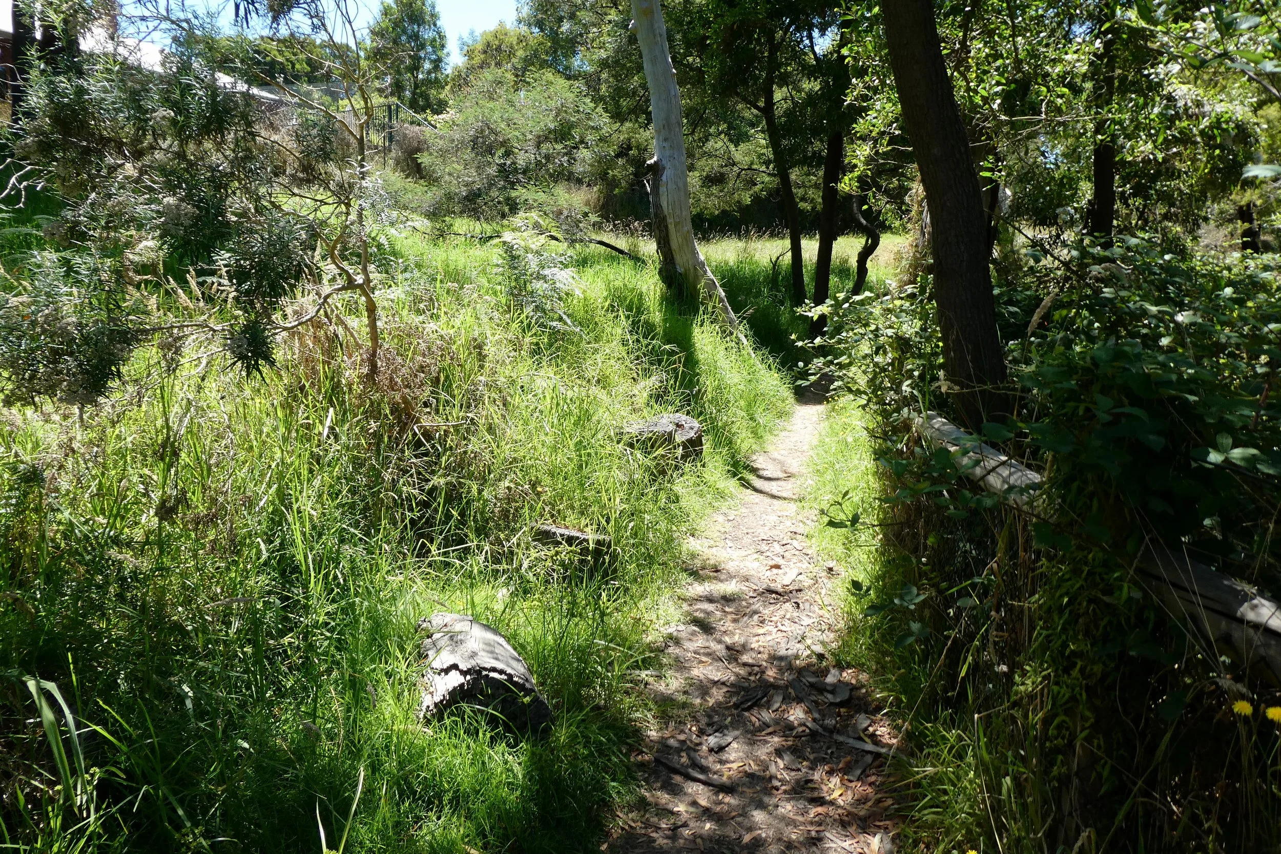
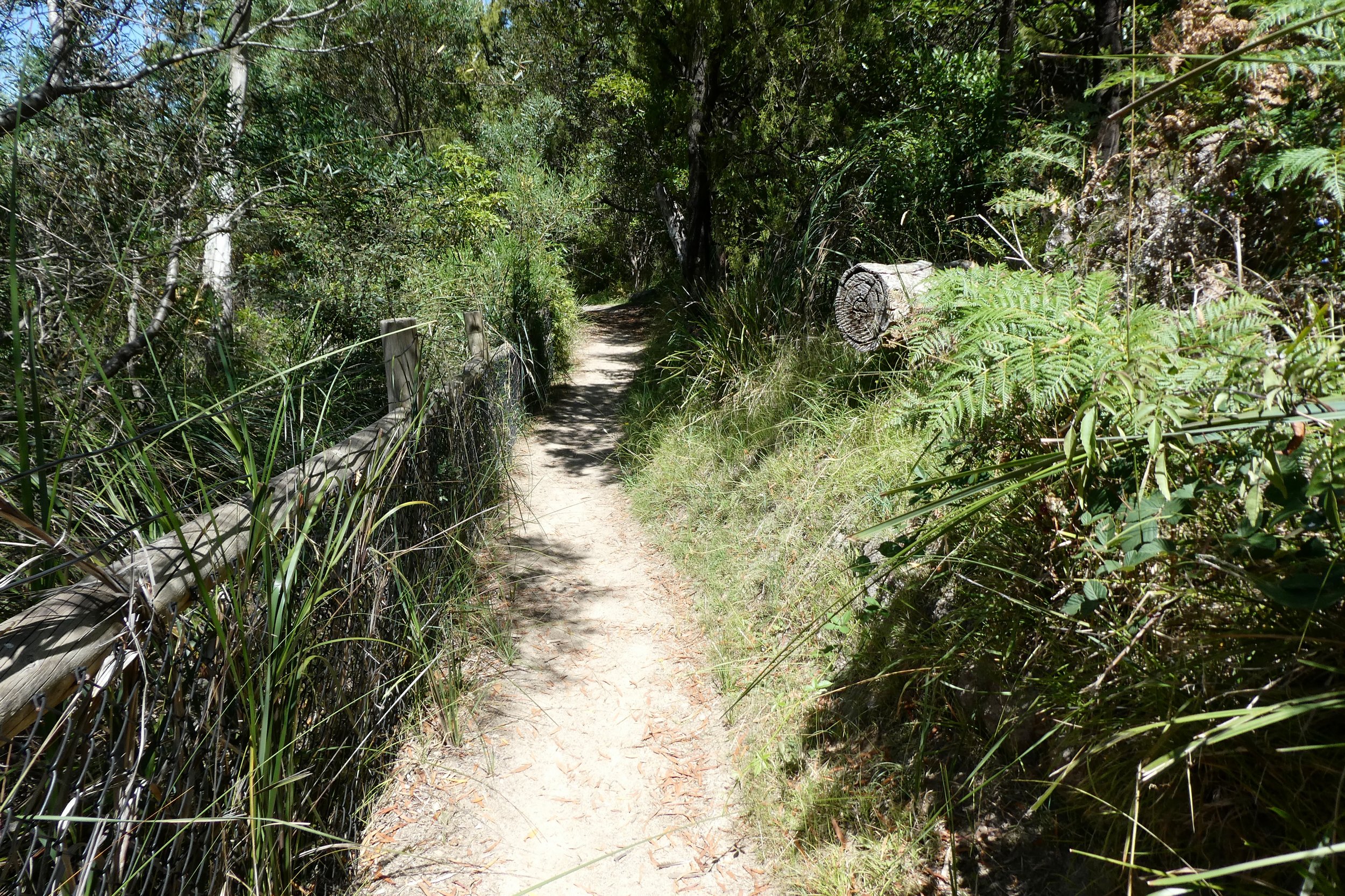
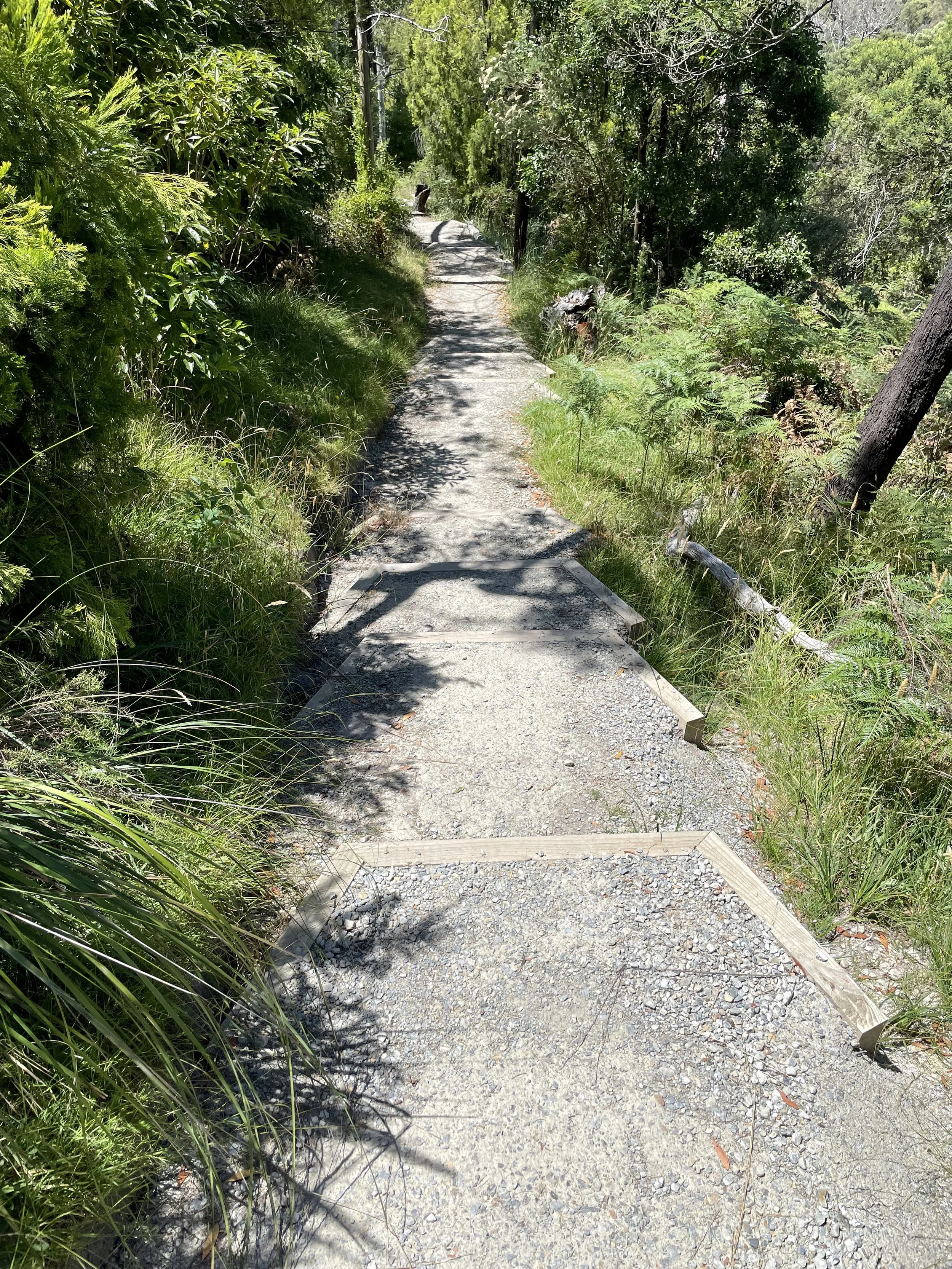
The path along the top to the lookout point was very much the path untravelled, while the path up to the quarry and even the stairs, there clearly was some evidence of foot traffic along there. This path, along the top, where it bordered with the houses too along there was very much more overgrown with invasive grass etc. The path itself was quite narrow with a lot less evidence of people having walked along.
I encountered one guy running along the path and that was it.


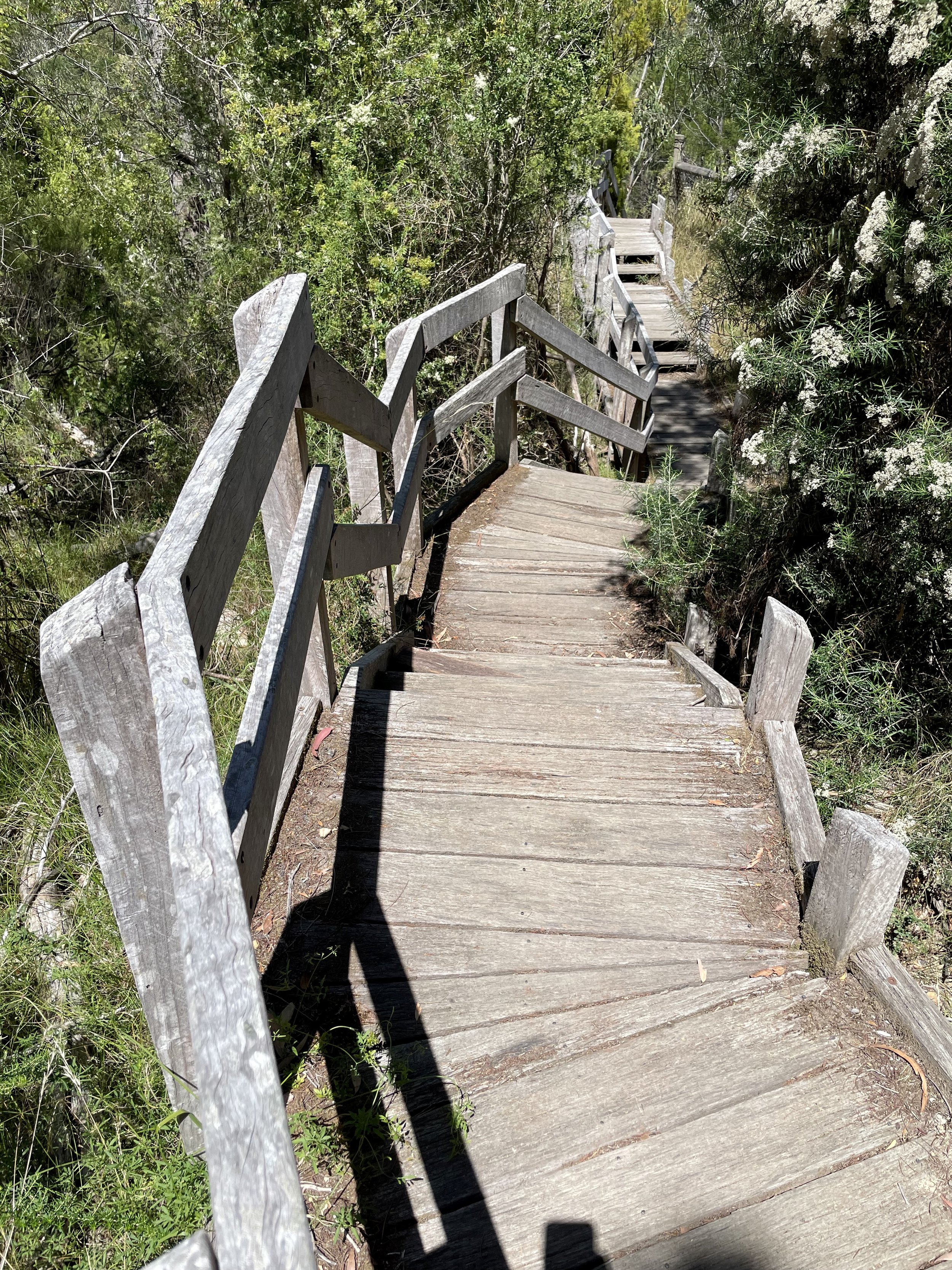
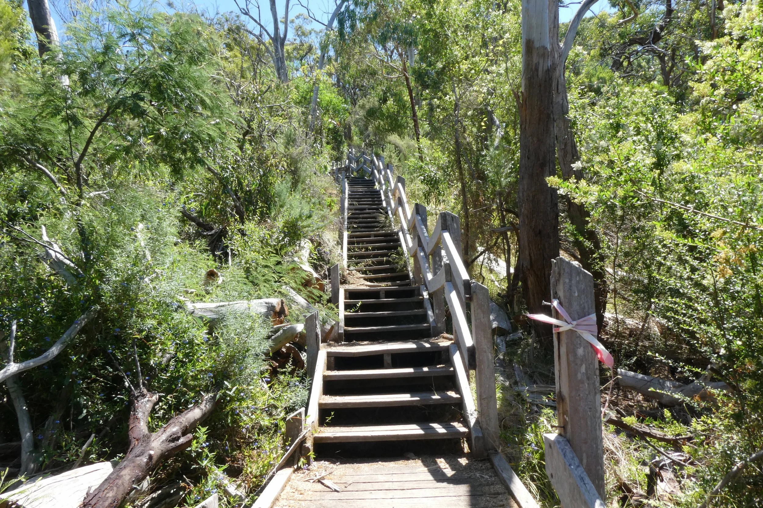
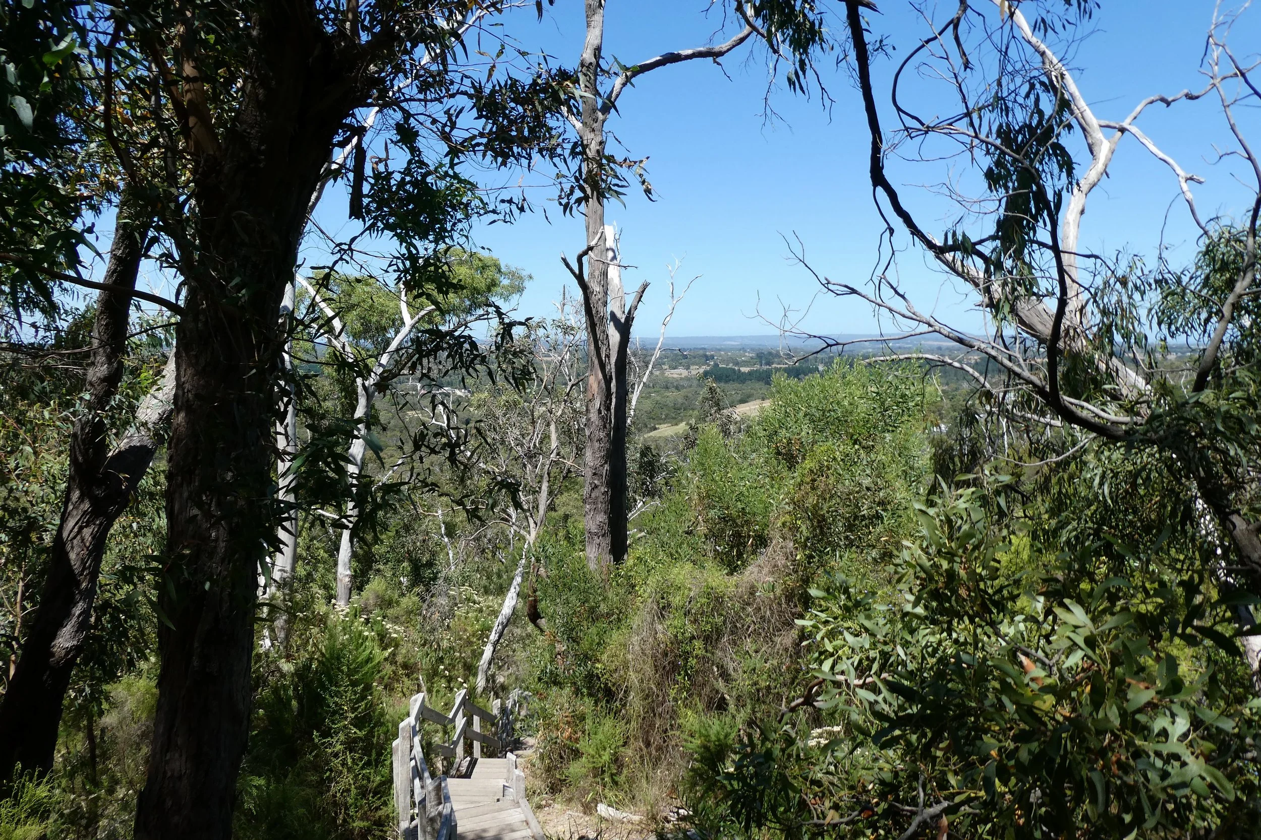
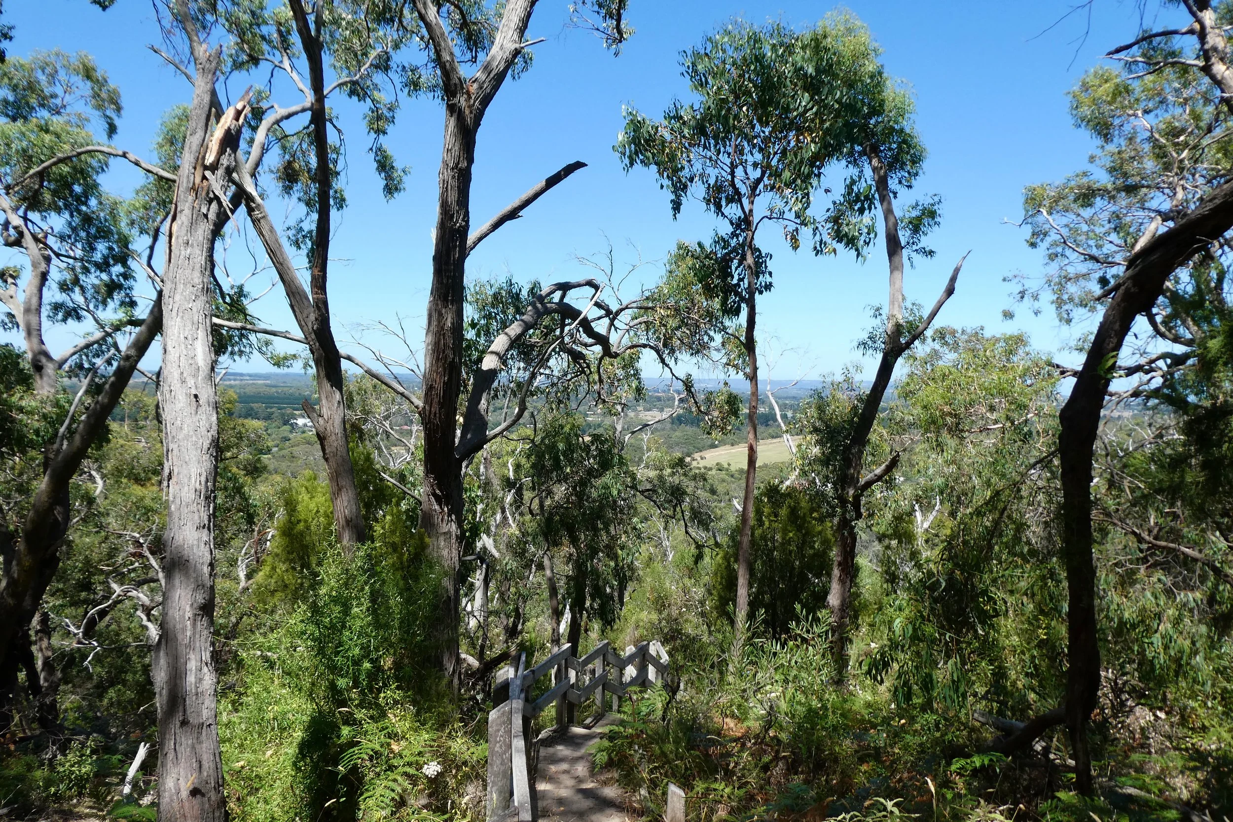
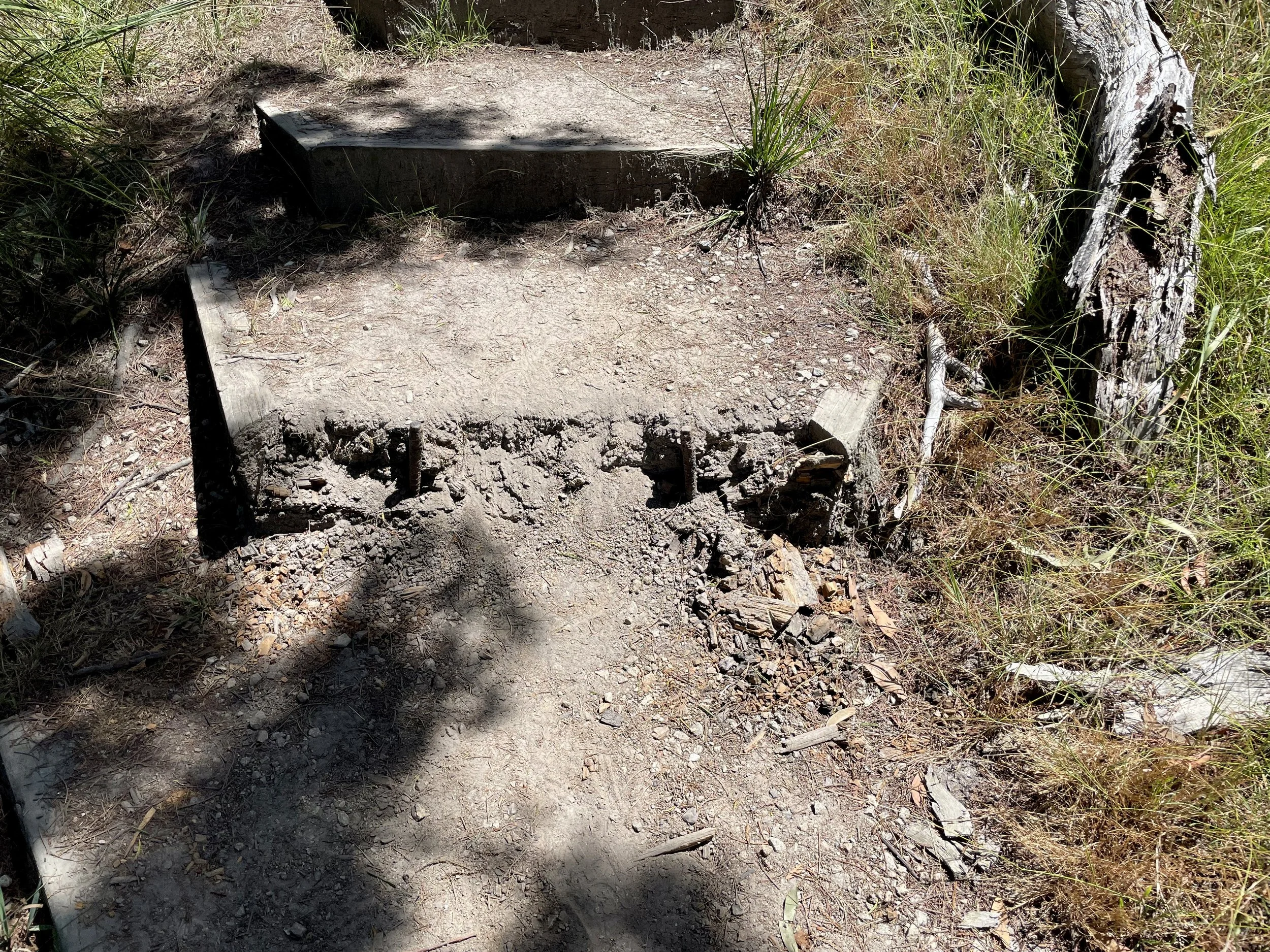
The path down from the lookout point, the stairs a few were in disrepair, and felt steeper / harder to walk down than the stairs going up on the other side. The stairs I think may have been steeper, but they were better paced.
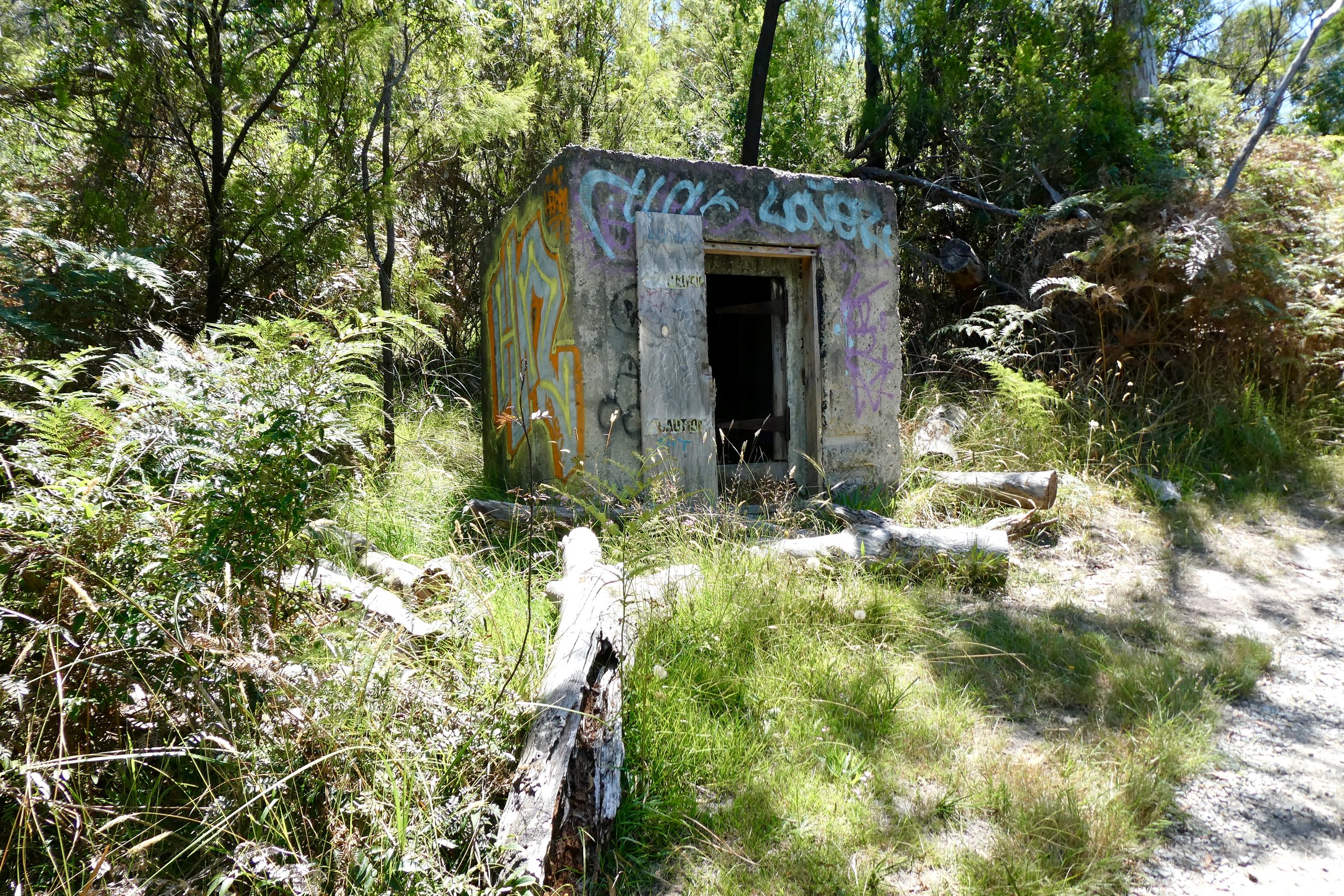
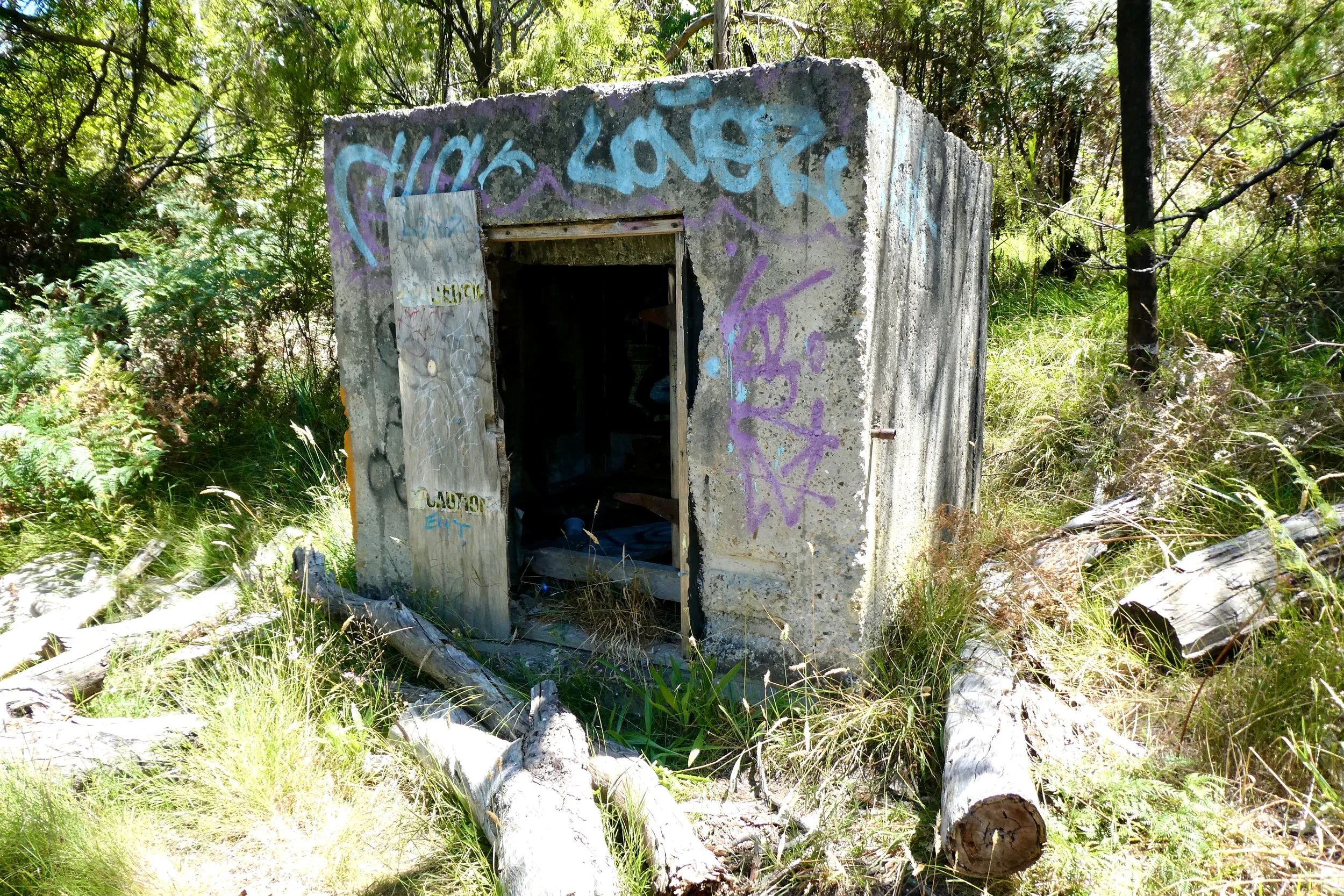
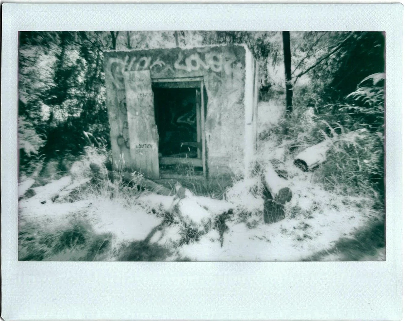
As I walked back along the path I came across what I suspect was the explosives store for the quarry as it's a concrete bunker sort of building and a decent distance from the quarry.
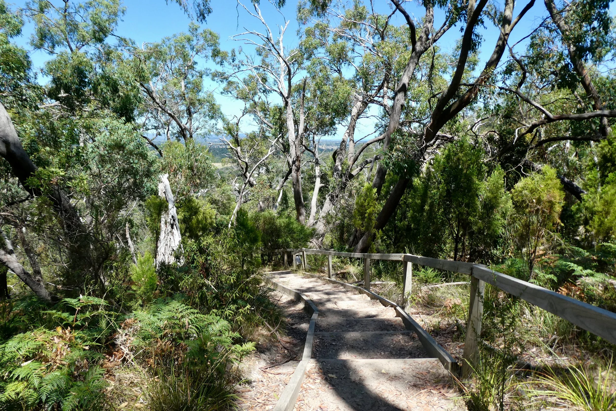
Sweating a little bit I continued back down the path to where I'd parked. Weirdly the more shallow the steps going back toward the entrance I found the most difficult, opting to take the path people had trodden to the side rather than walking with the steps down the incline.
Tracing the paths that I took on Google Maps I found I walked a little over 2.05 kilometres, and an elevation change from the start to the highest point in the walk of about 83 metres (the car park is 58 metres, and highest point is around 140 metres).

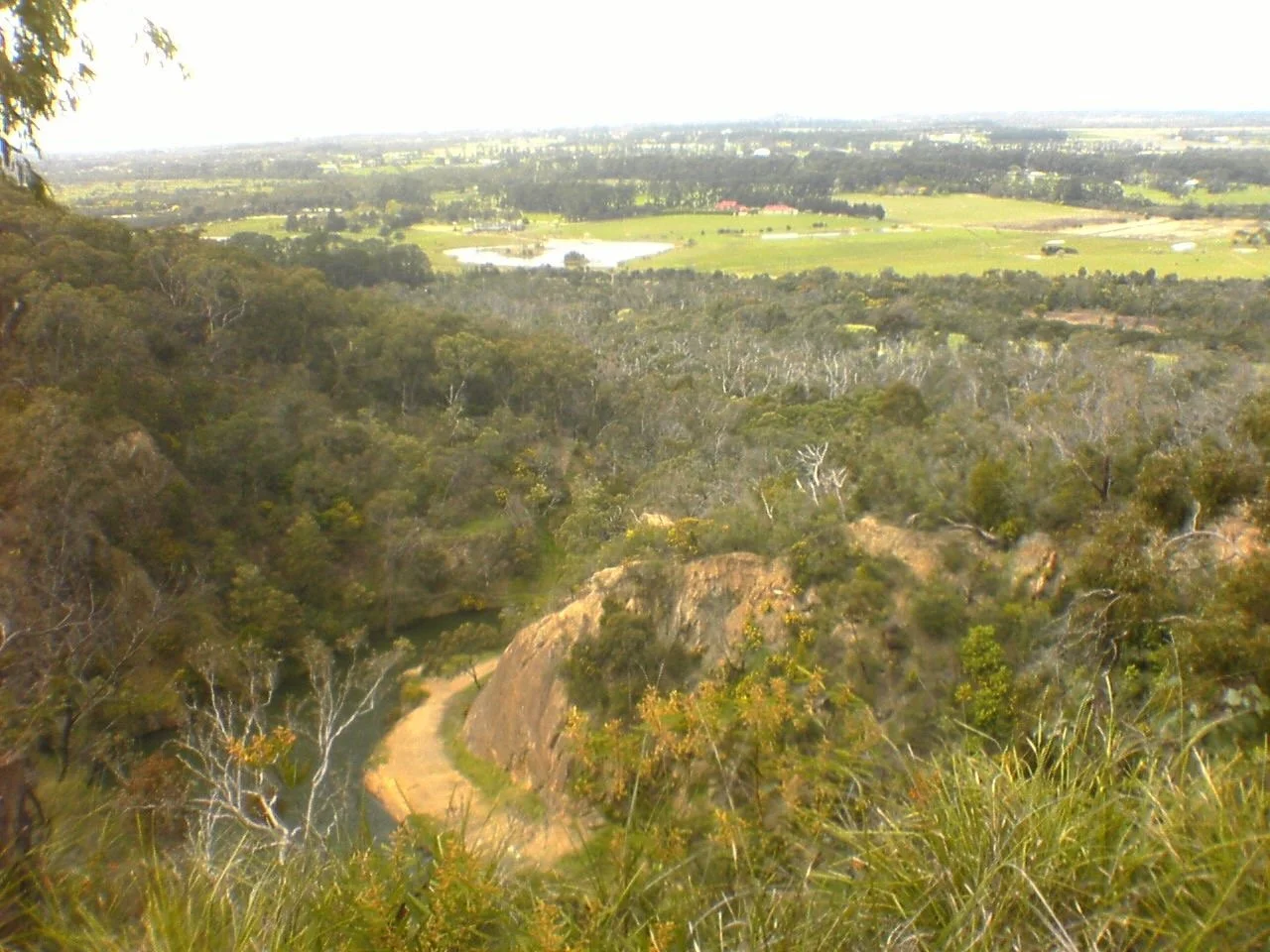
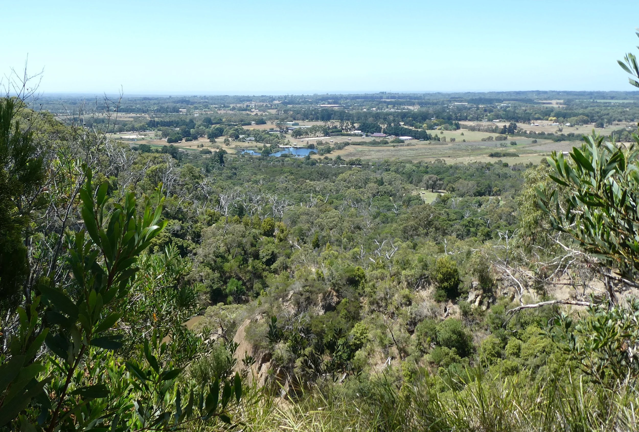
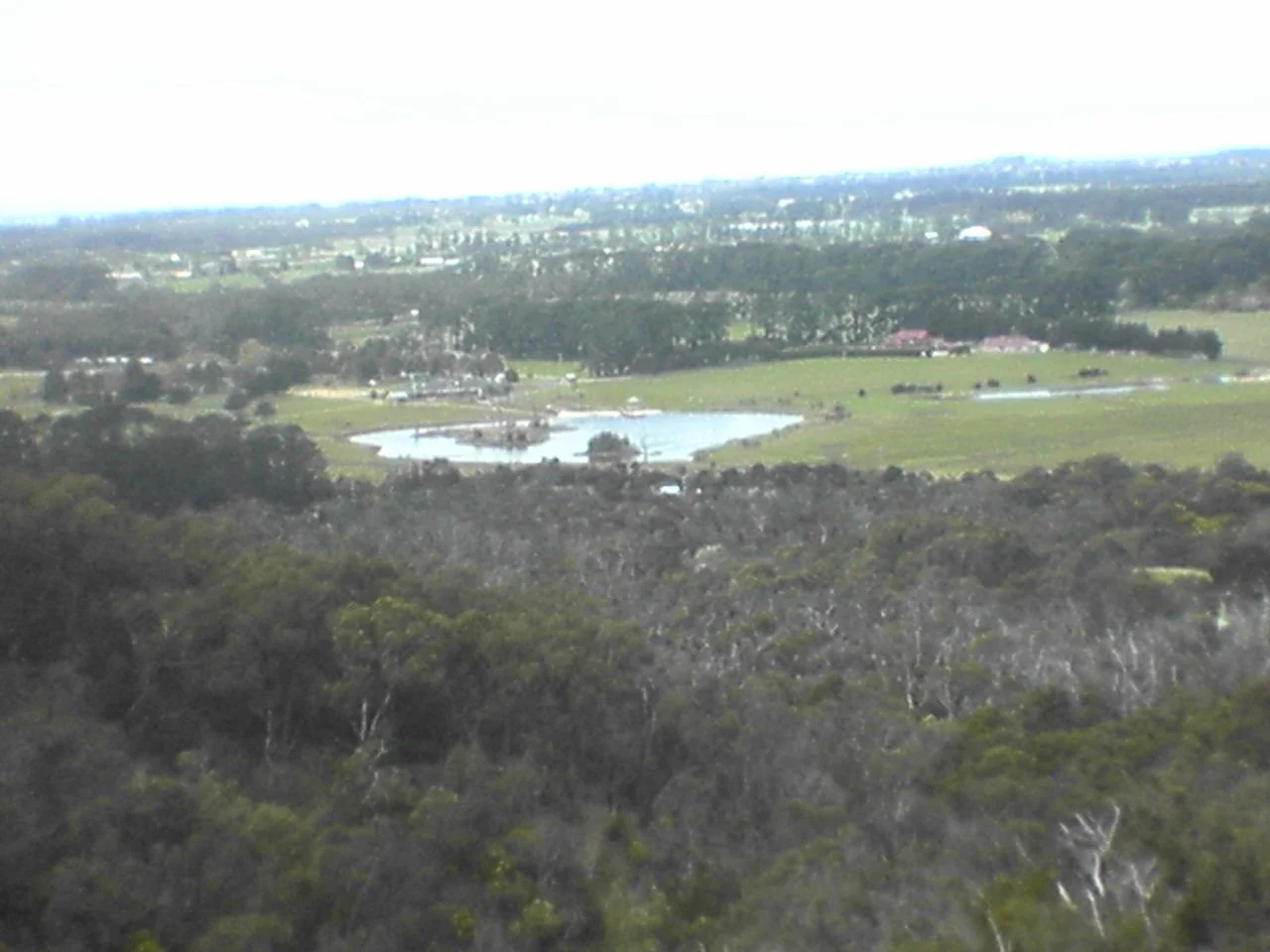
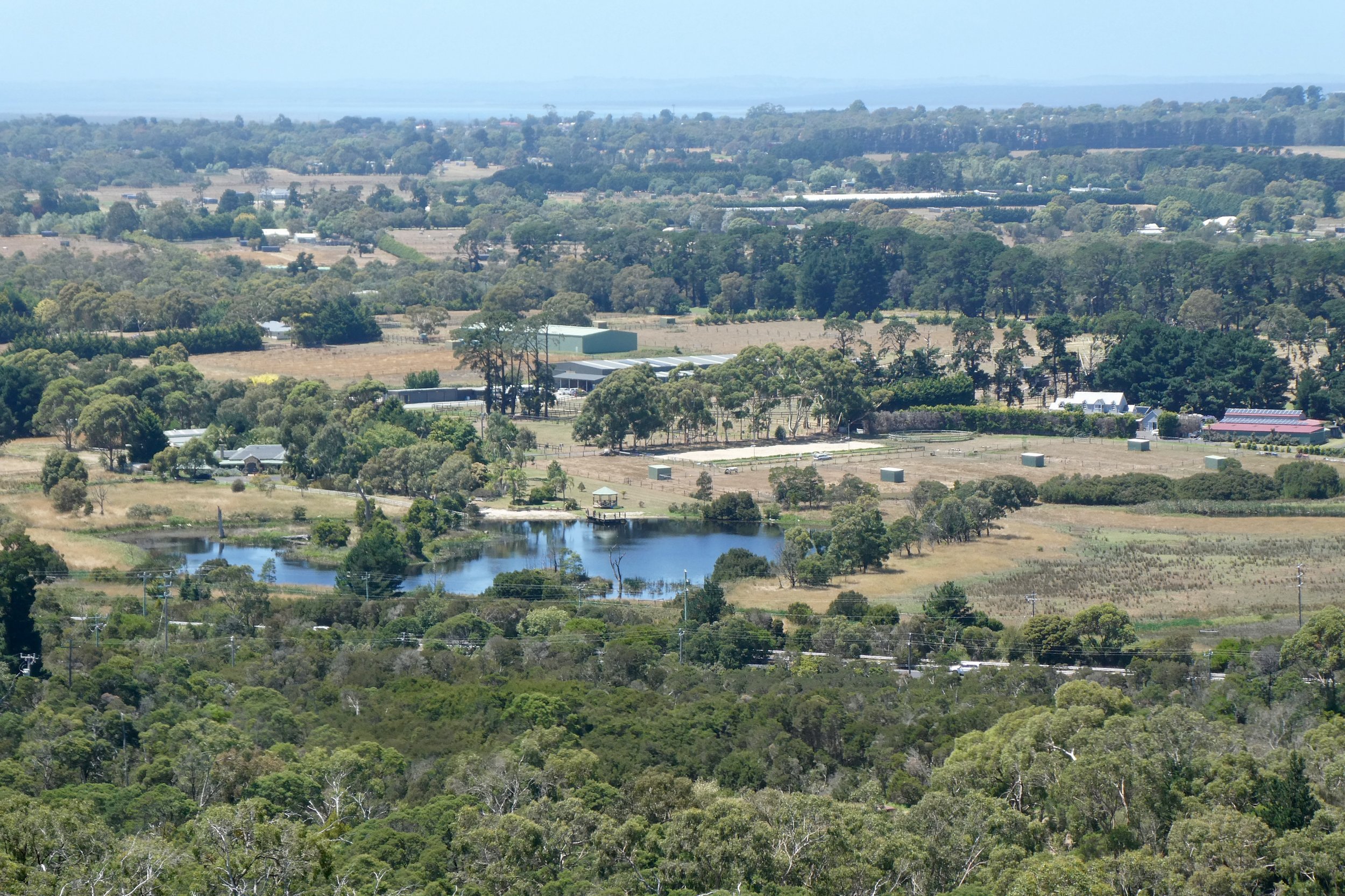
Comparisons with 2005
In looking through my archives of photos I found some photos I took in 2005, to be precise 9th September 2005. I remember they were taken with my first camera phone a Sony Ericsson S700i. It had a 1.3 megapixel sensor on it, and in good lighting was alright.
The sign at the top of this blog was taken with that camera.
I also have a few photos that I realised I took on my day out that line up more or less with those I took in 2005, so thought I'd present them below.