Gippsland

Farm World 2024

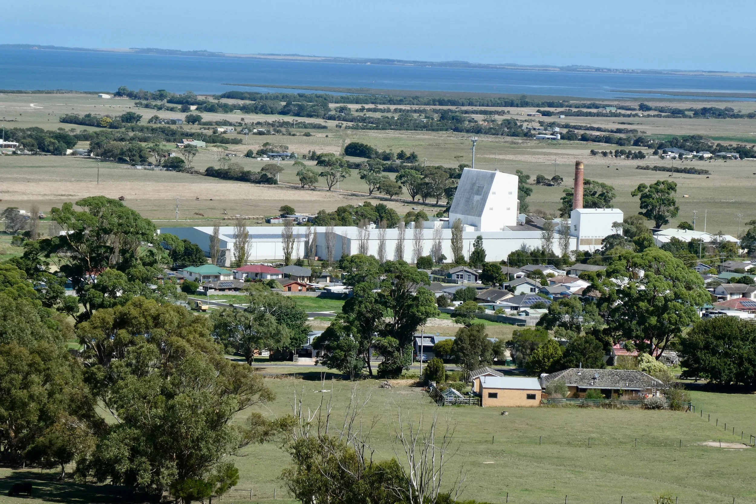
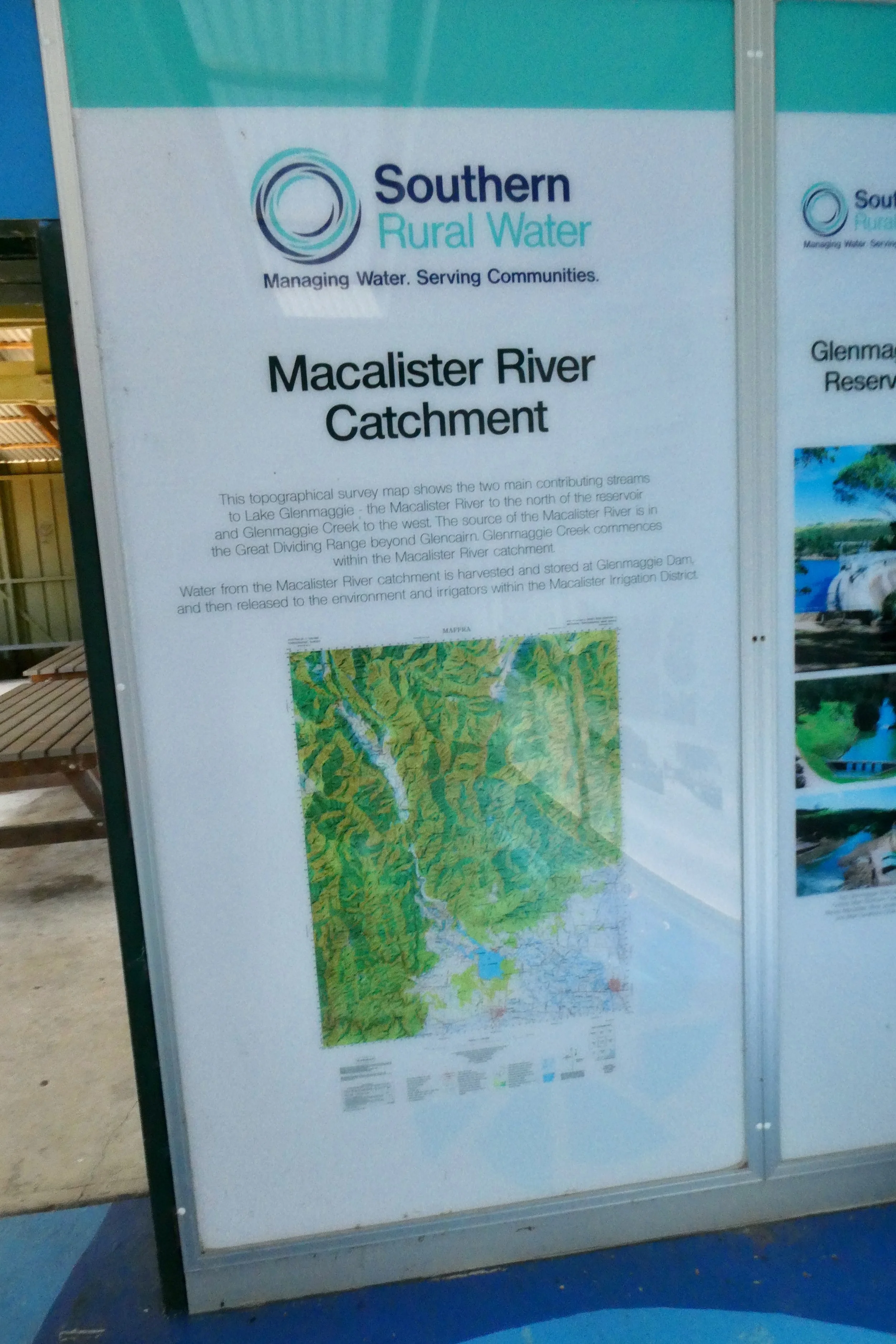
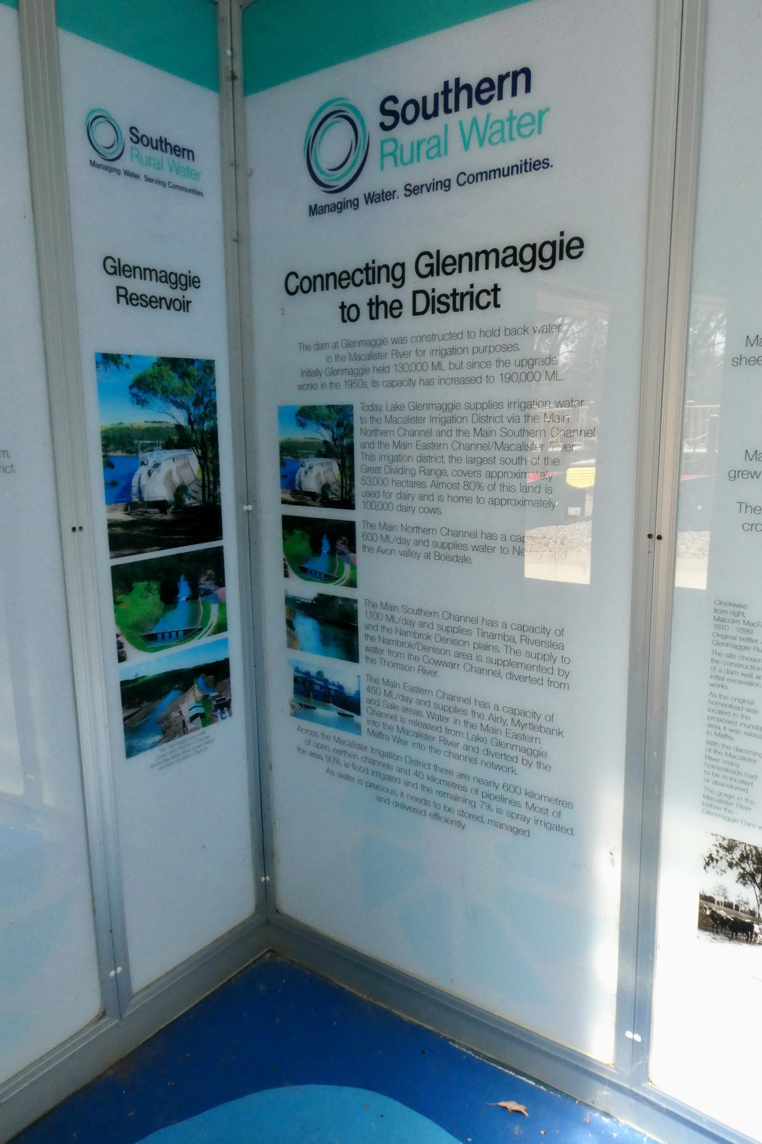
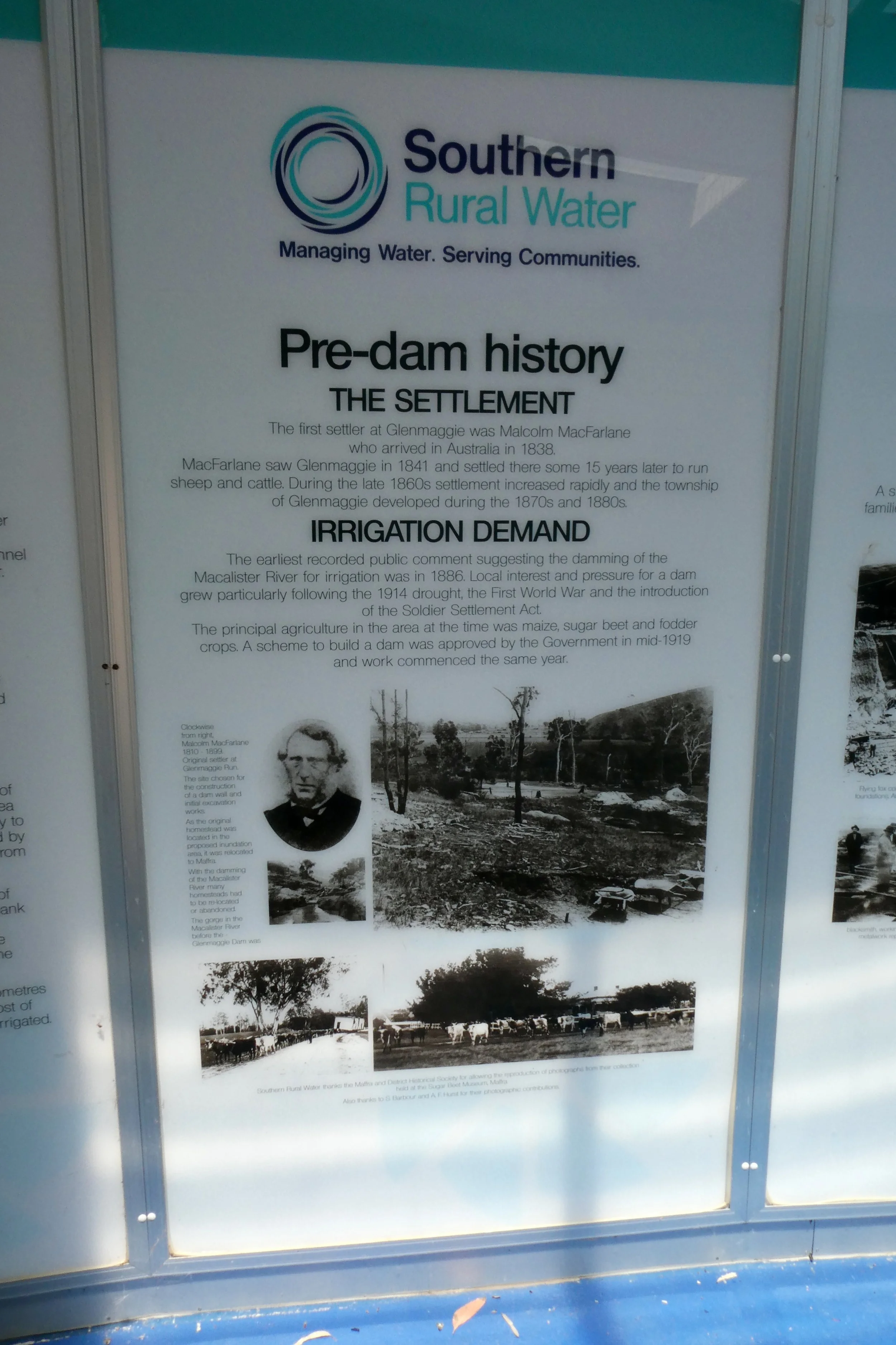
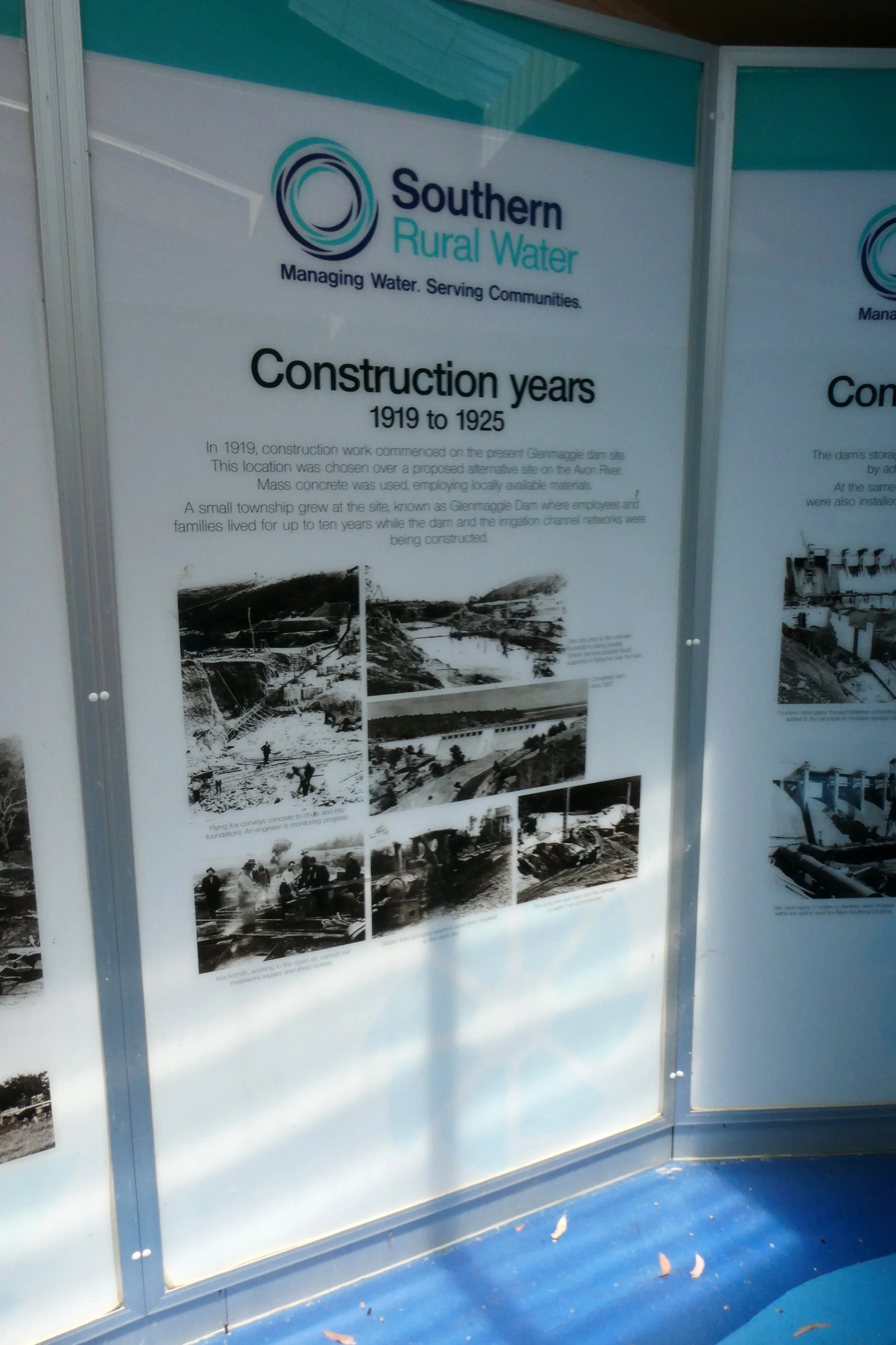
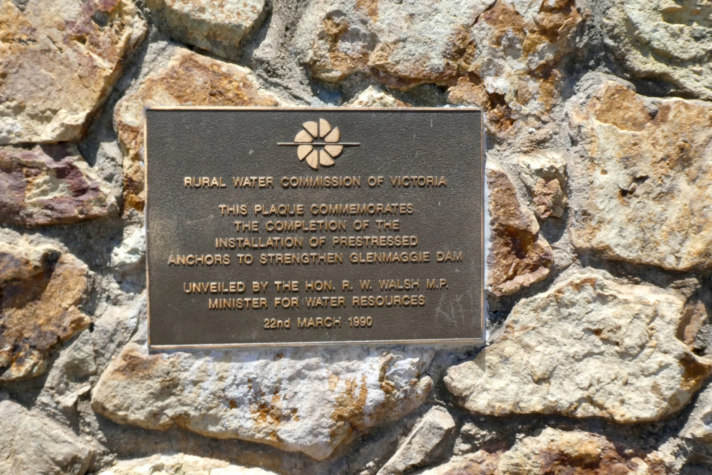
Farm World is an agricultural expo at Lardner Park in Gippsland.

I often go to expos for things which I don't have a lot of day-to-day engagement with, but am sort of peripherally aware of. 

I know a little bit about a lot of random subjects, so attending things to have a look around about is kinda interesting, even if the only farming-related things I do is growing fruit trees and watching Landline.

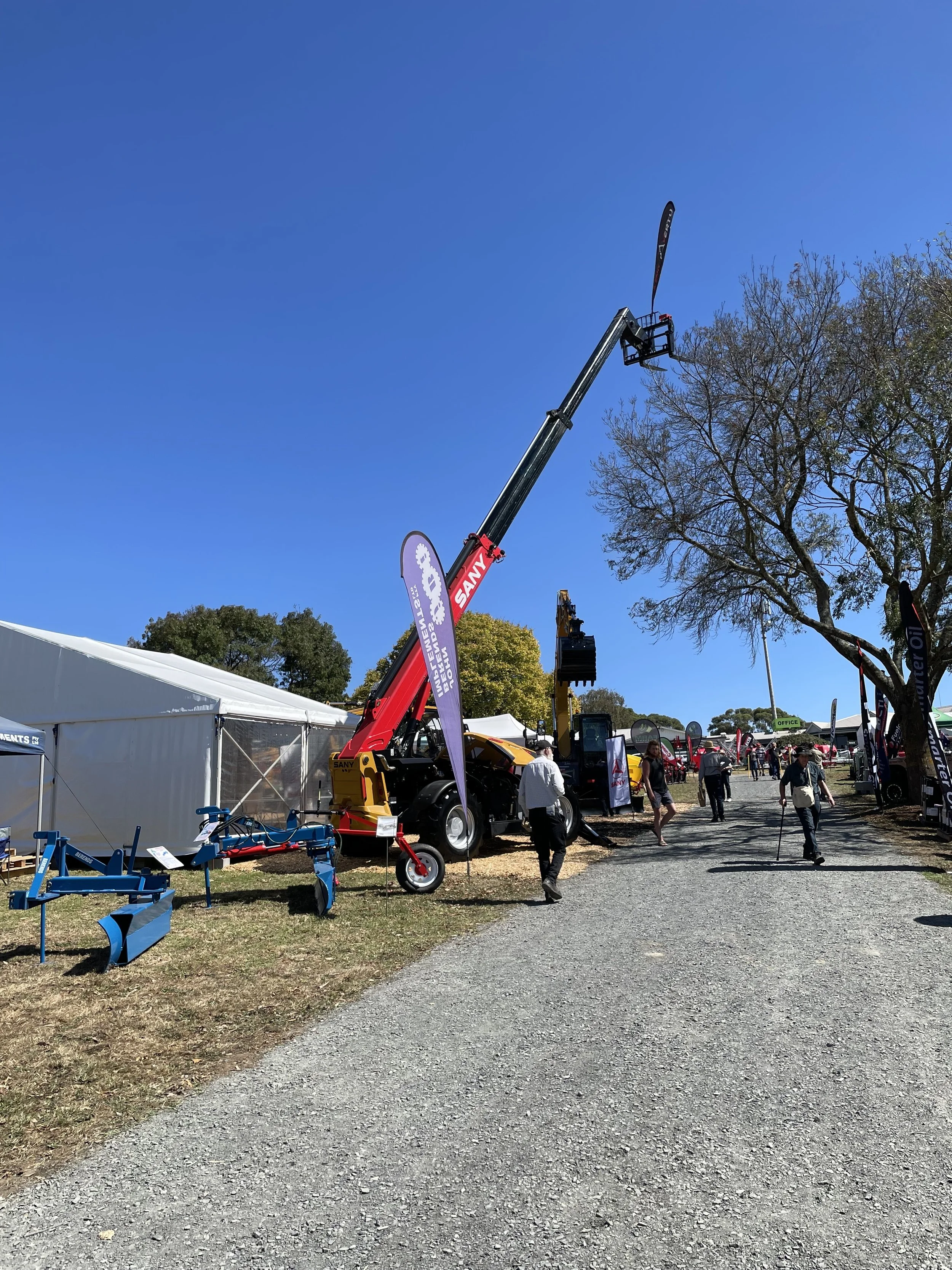
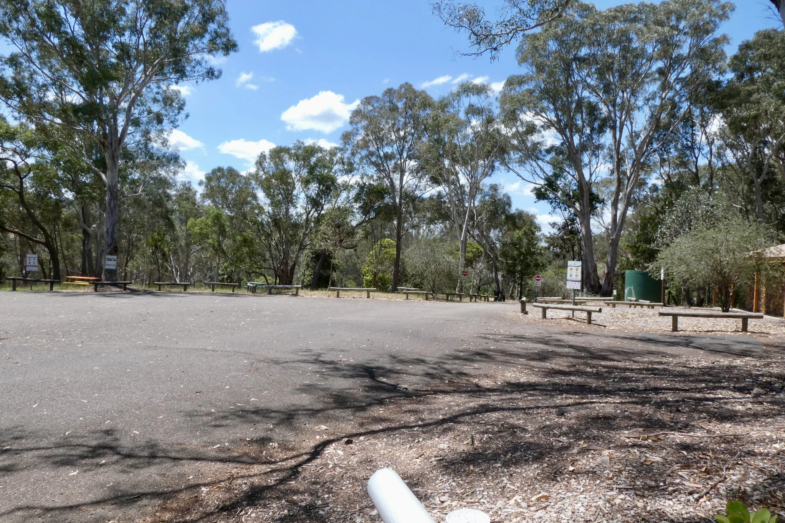
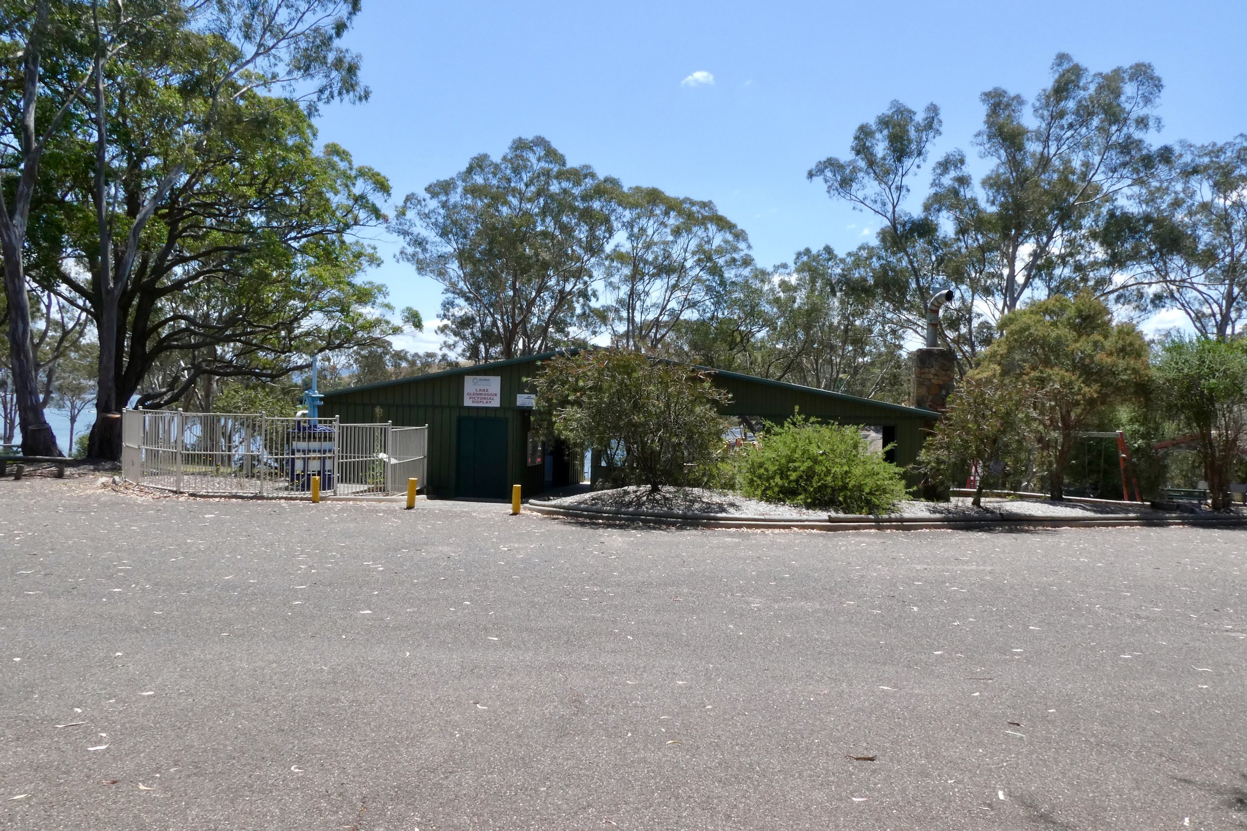
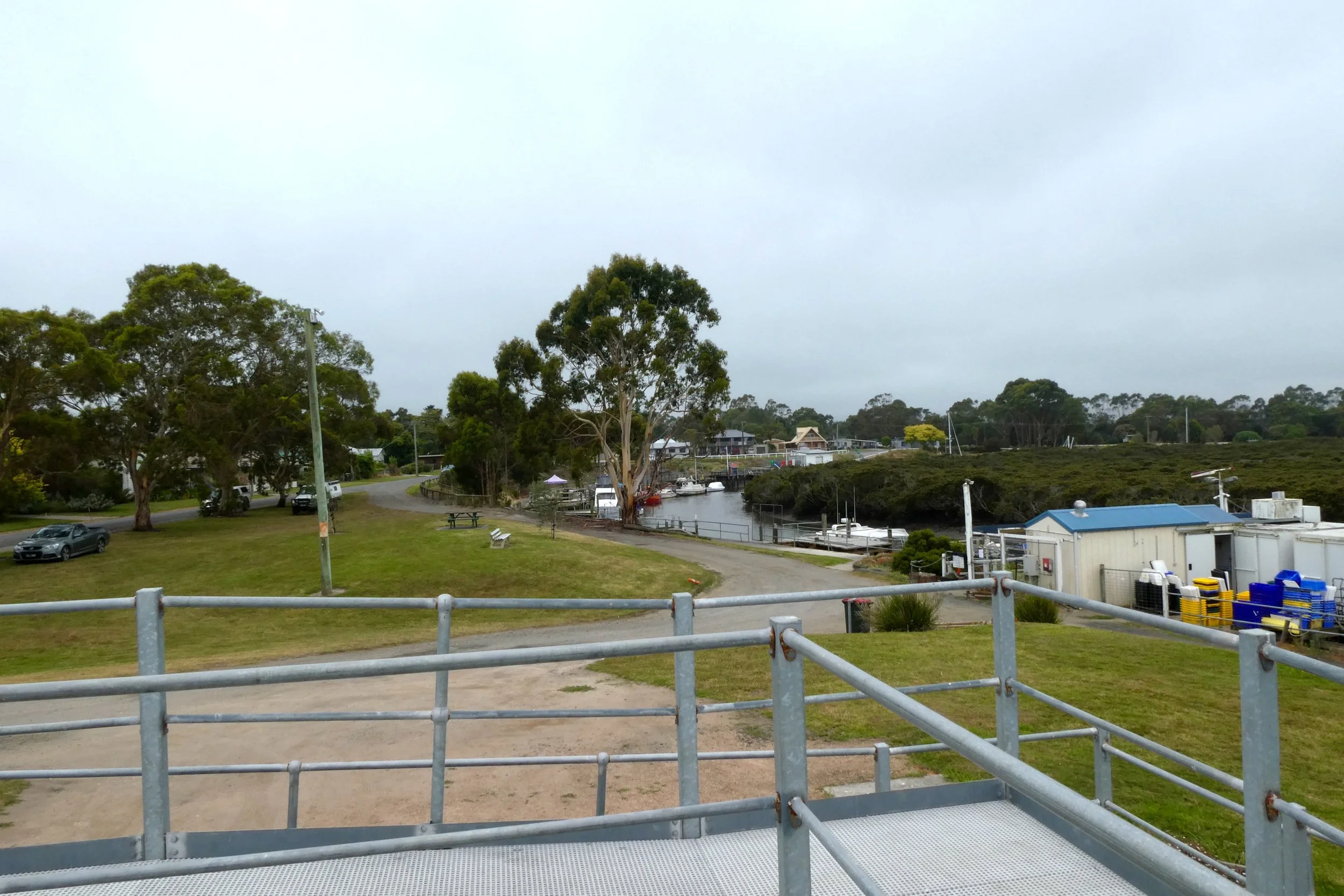
One of the main display areas & throughfares.
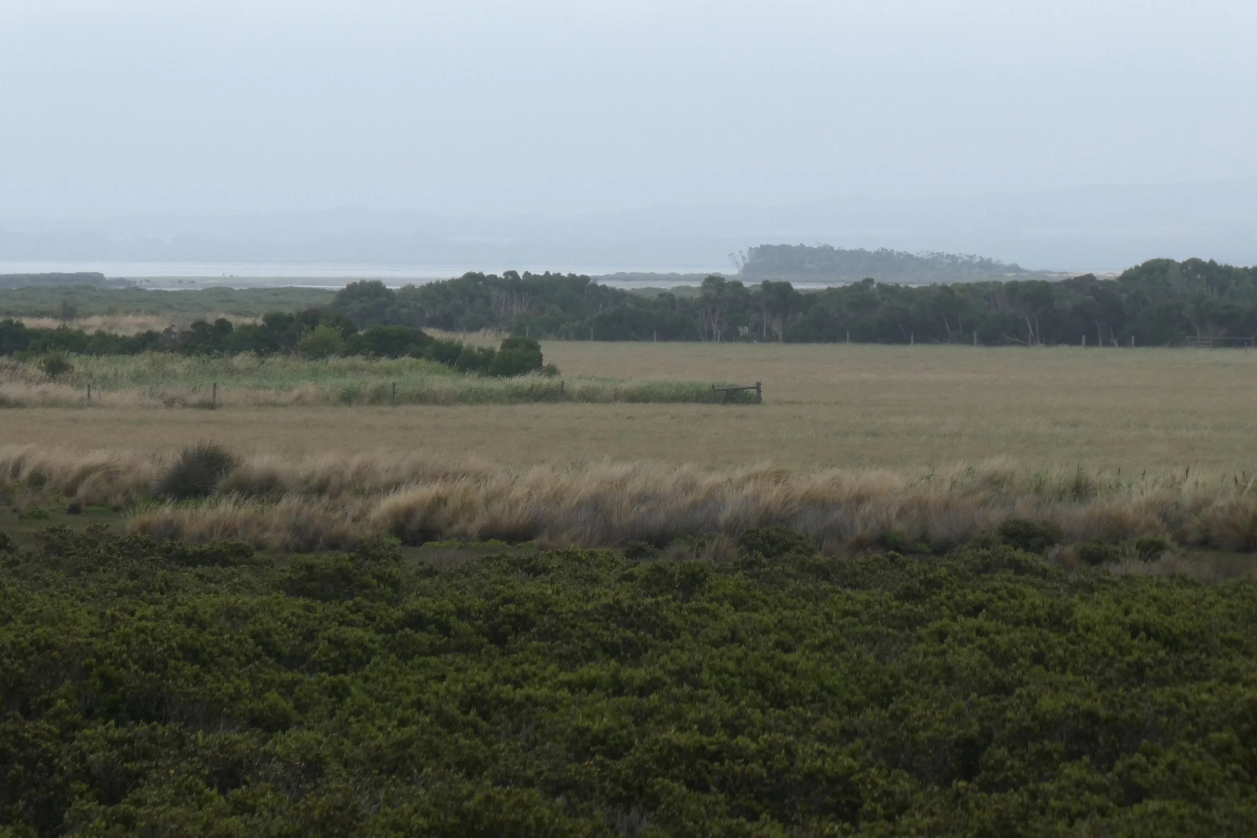
The car park.

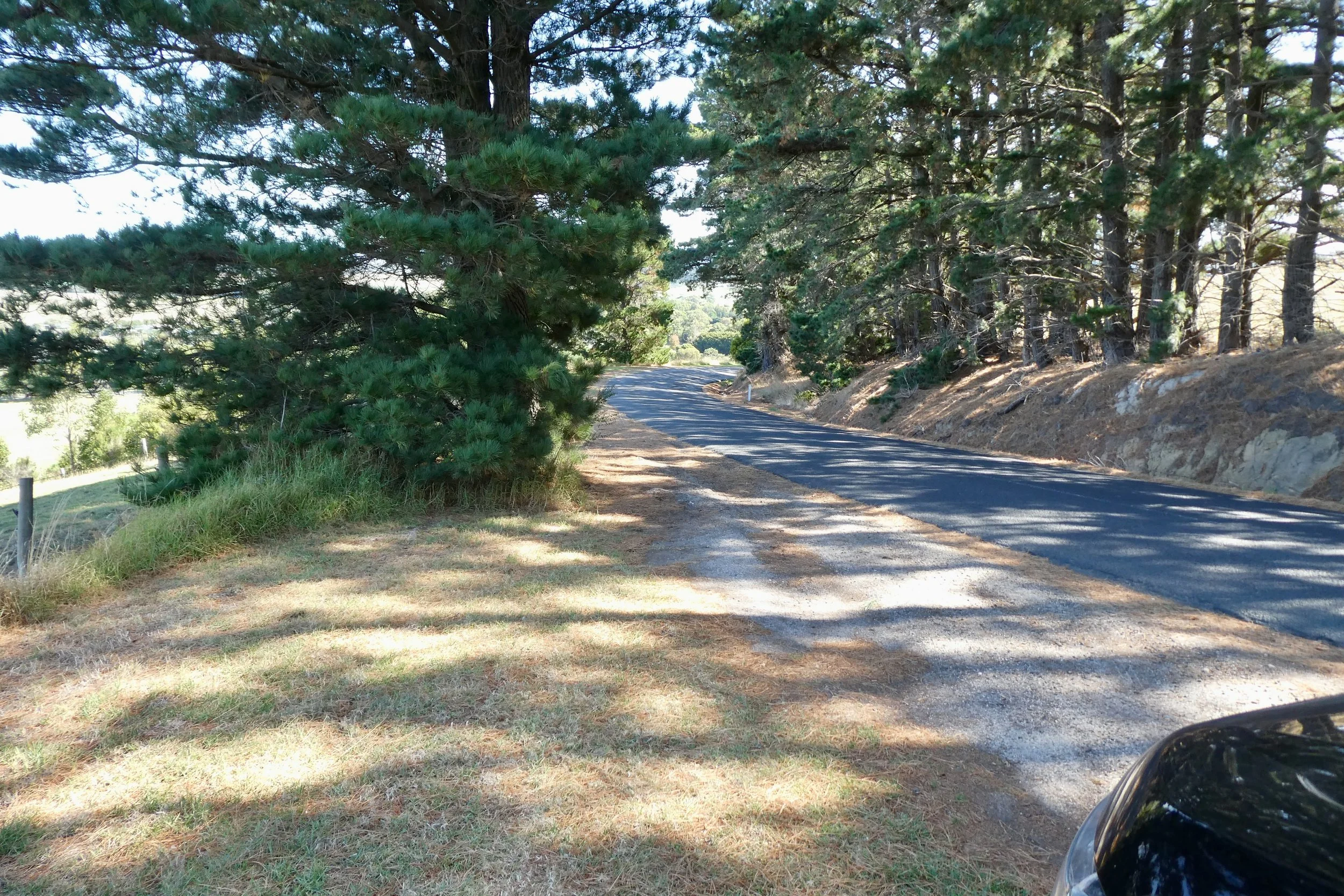
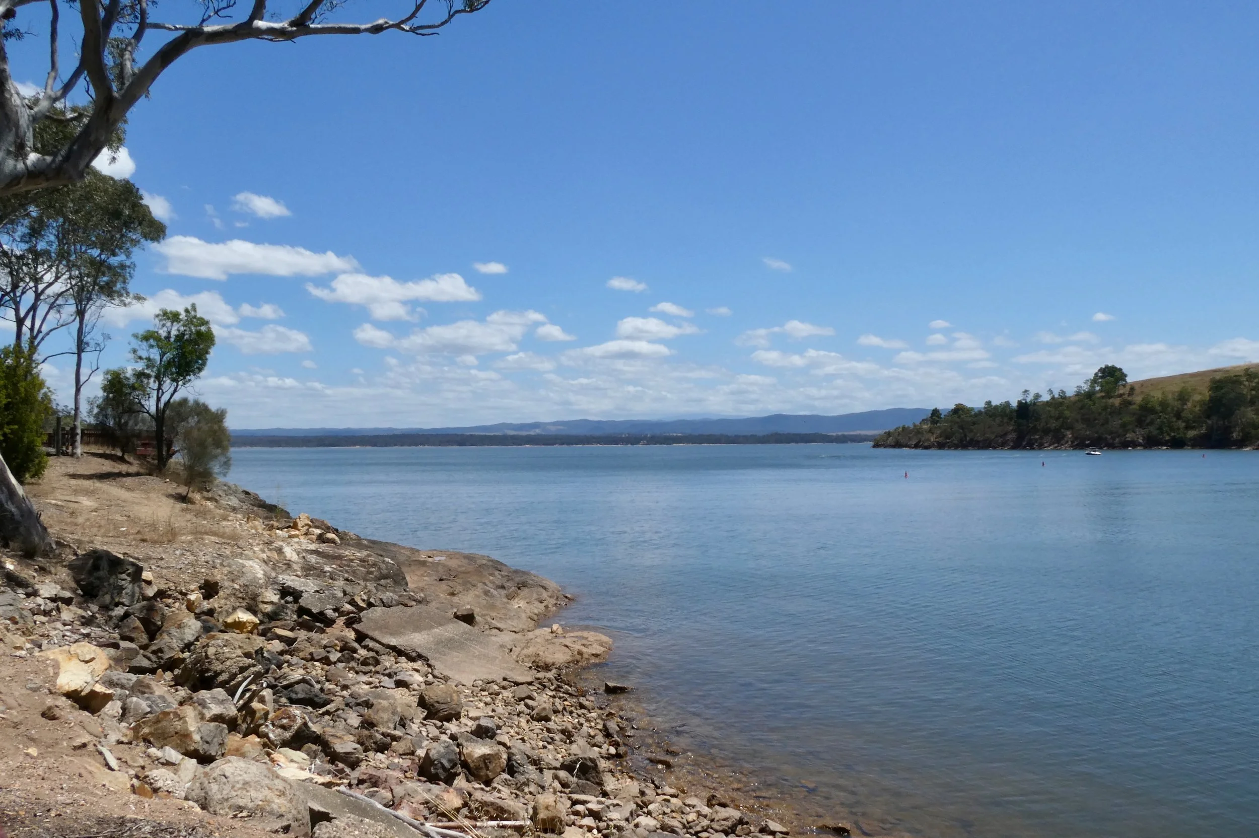
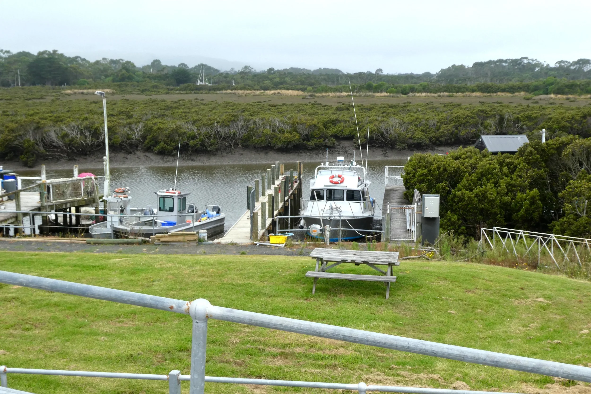
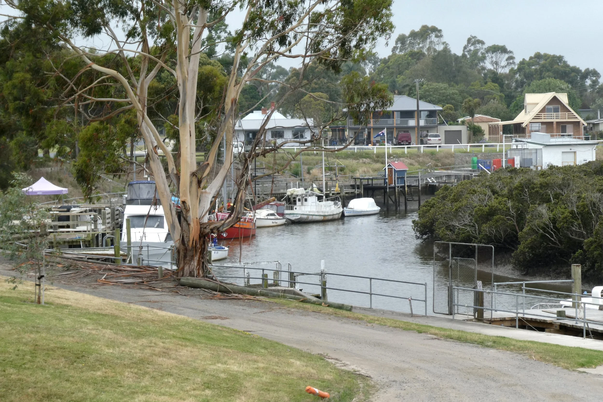
Arriving there were obviously a lot of people already there, and the car park quite full, I didn't think I've arrived that late – just past 11:30. Parking a short walk from one of the entrance gates. The guys who directed where to park said there was a bus, it was a mini-bus, which I utilised, but many others walked, when I returned to my ute I walked, it wasn't too much of a walk, just past the lake.

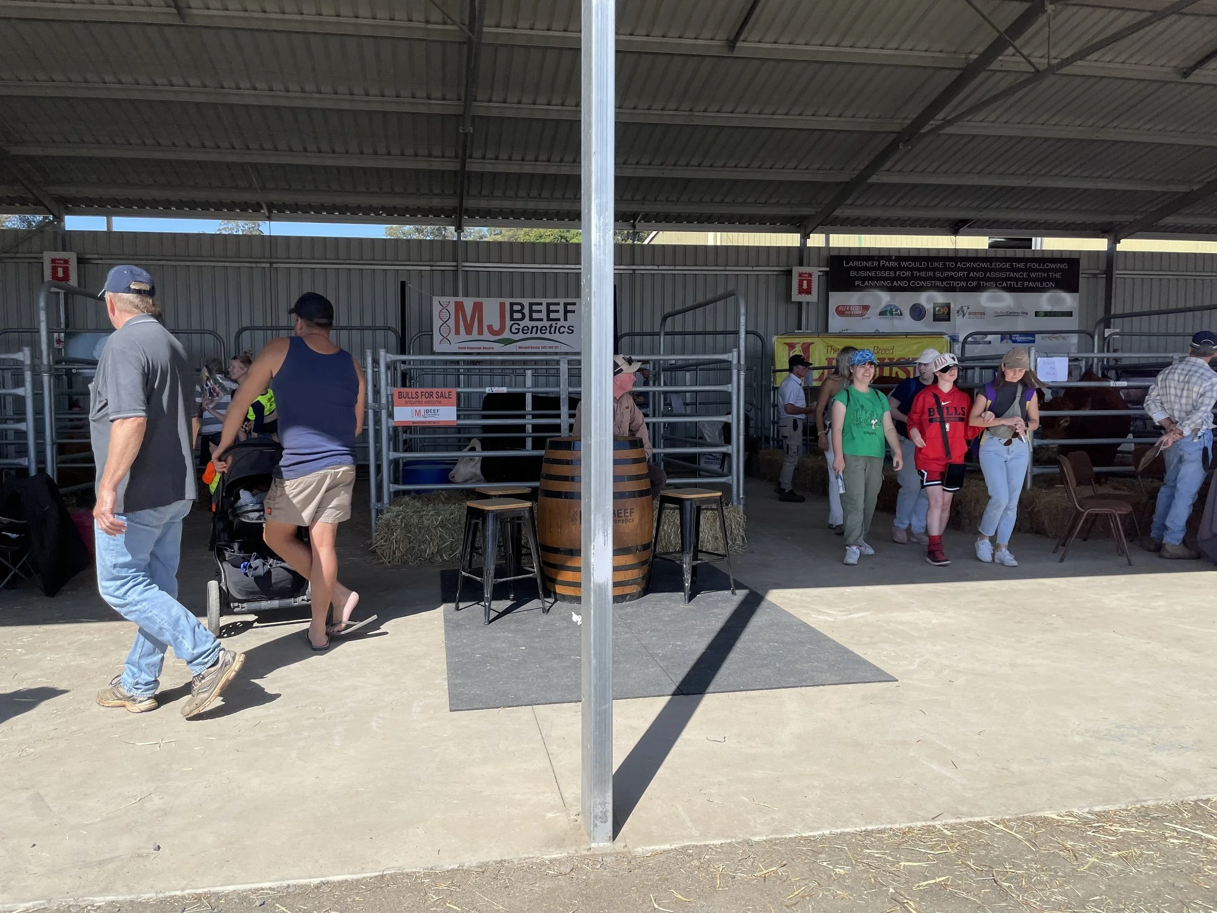
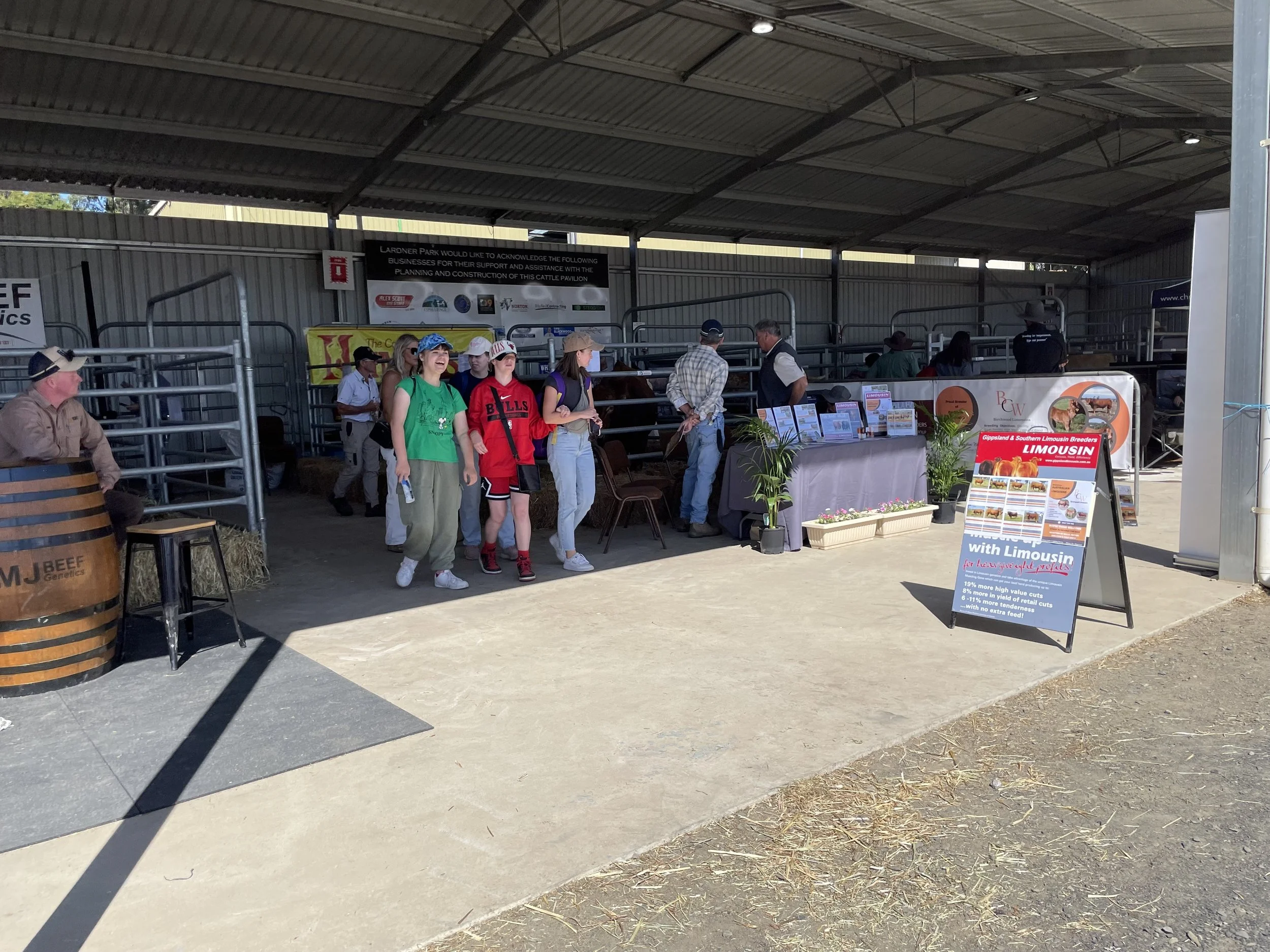
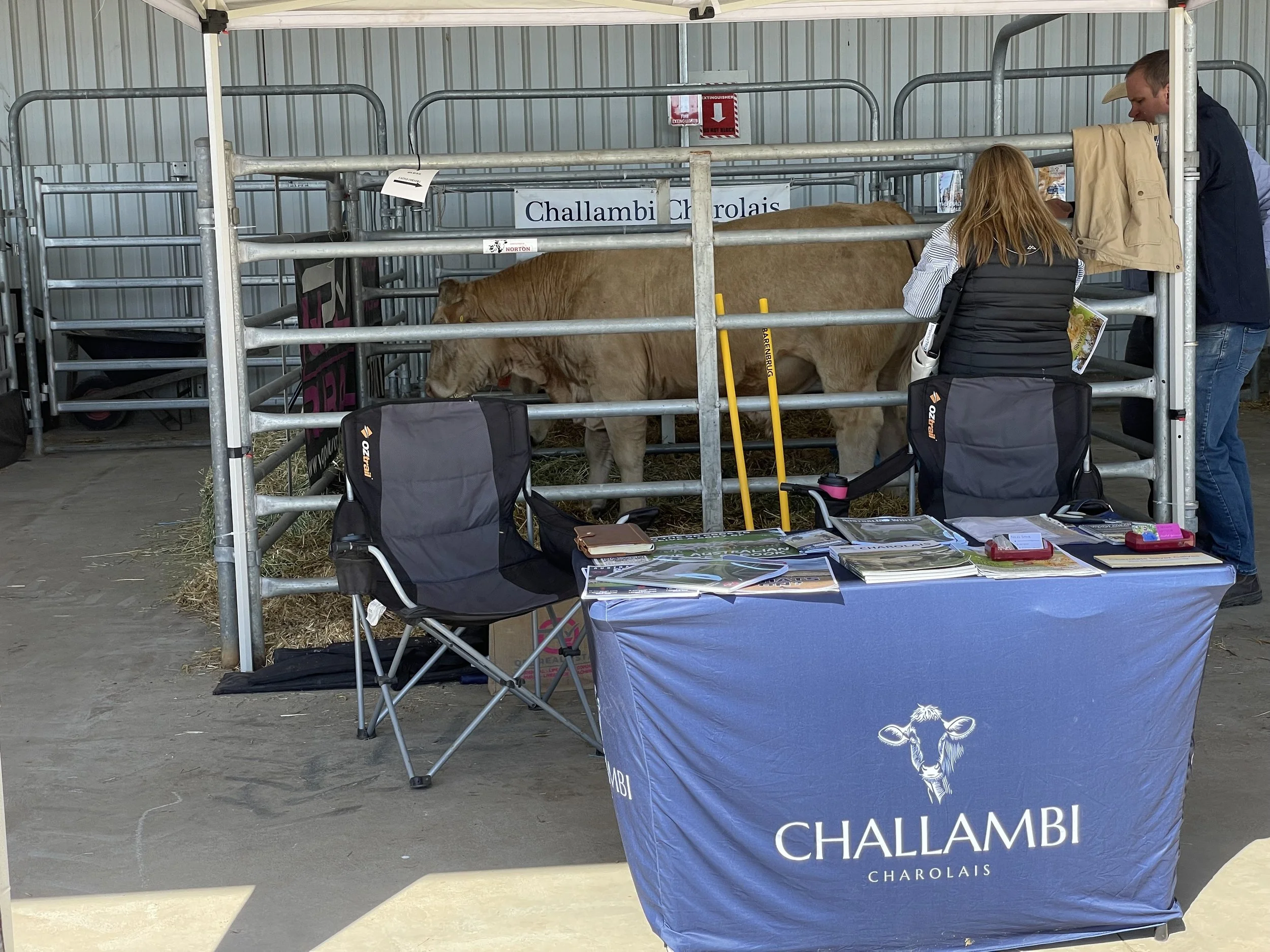
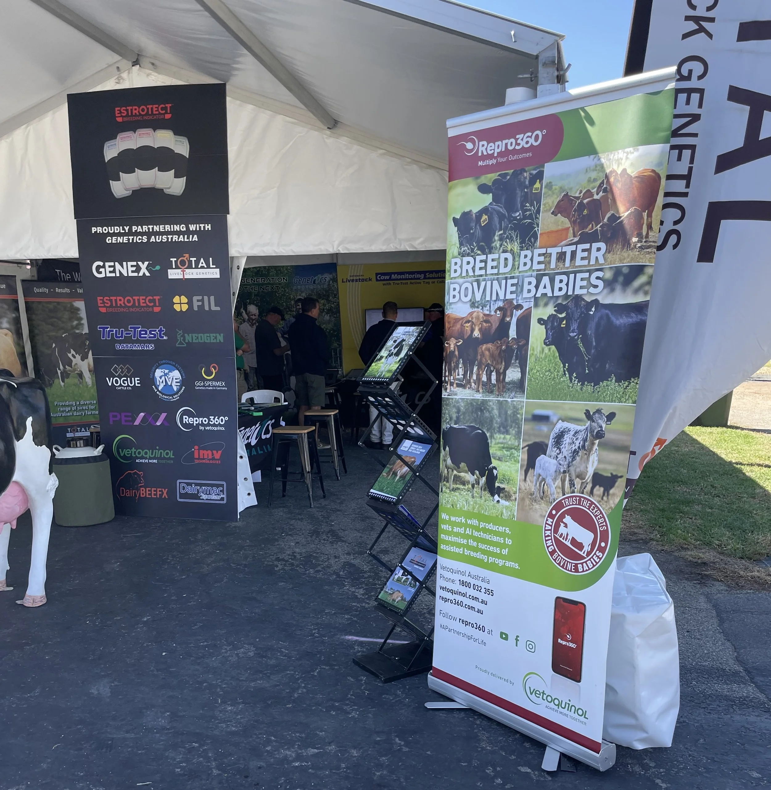
I was aware of the importance of genetics in cattle production, and it's interesting to see it sort of there in reality, with just a cow (or a bull I suppose), an example in a pen sitting there of good genetics, or maybe good genetic stock? I don't know, I didn't go and ask questions, I feel I'm a bit of an interloper at these sorts of things, just having a browse, trying not to get in the way.

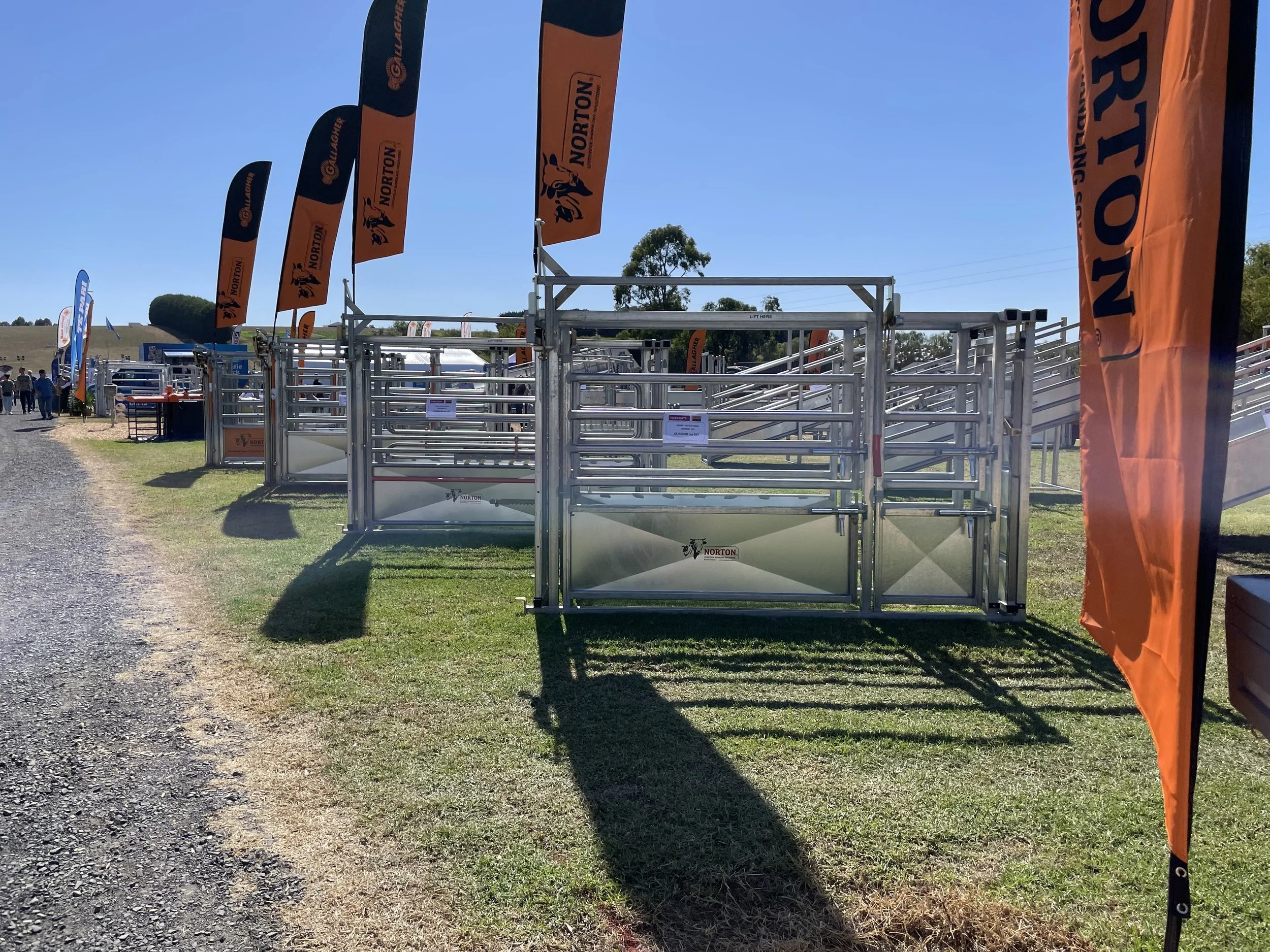
There were various livestock containment systems, portable fences and the like.

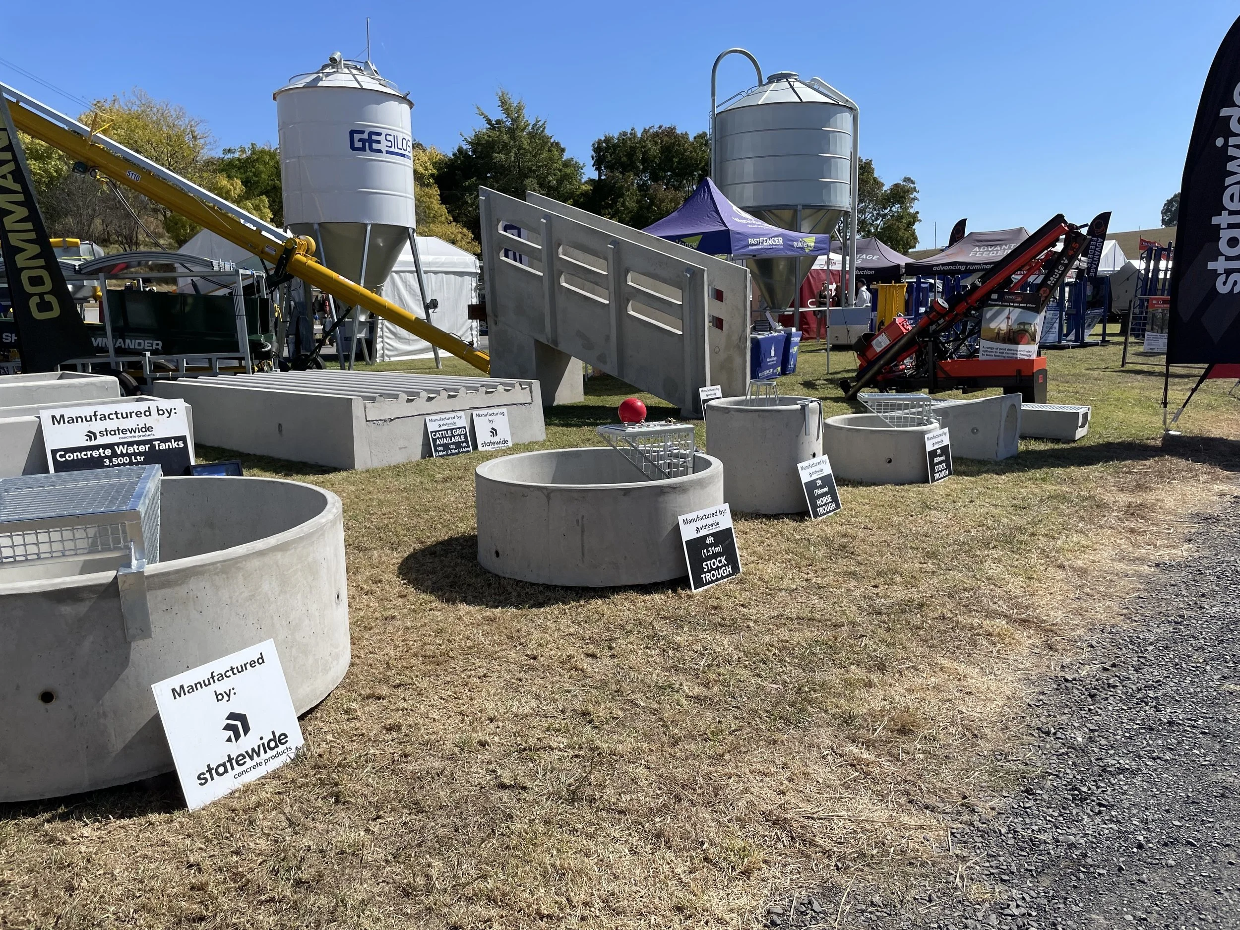
There's a display of concrete products, troughs and even a cattle grid and ramp, made out of cast concrete.

Hay cartage services with several "no smoking" signs around them. Not that there were many people smoking (or vaping), although the number wasn't zero, there were still a few people out smoking as they browsed.

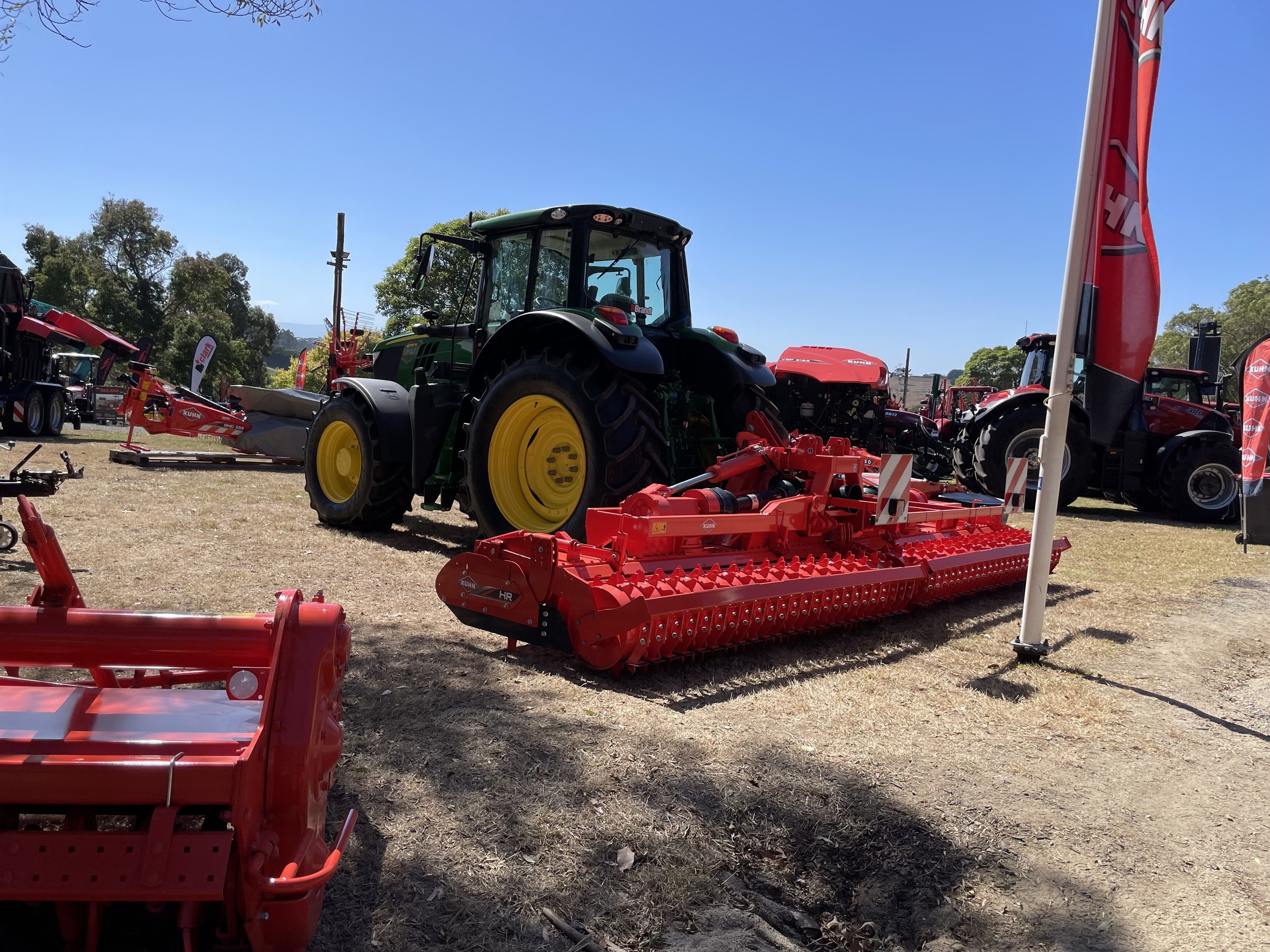
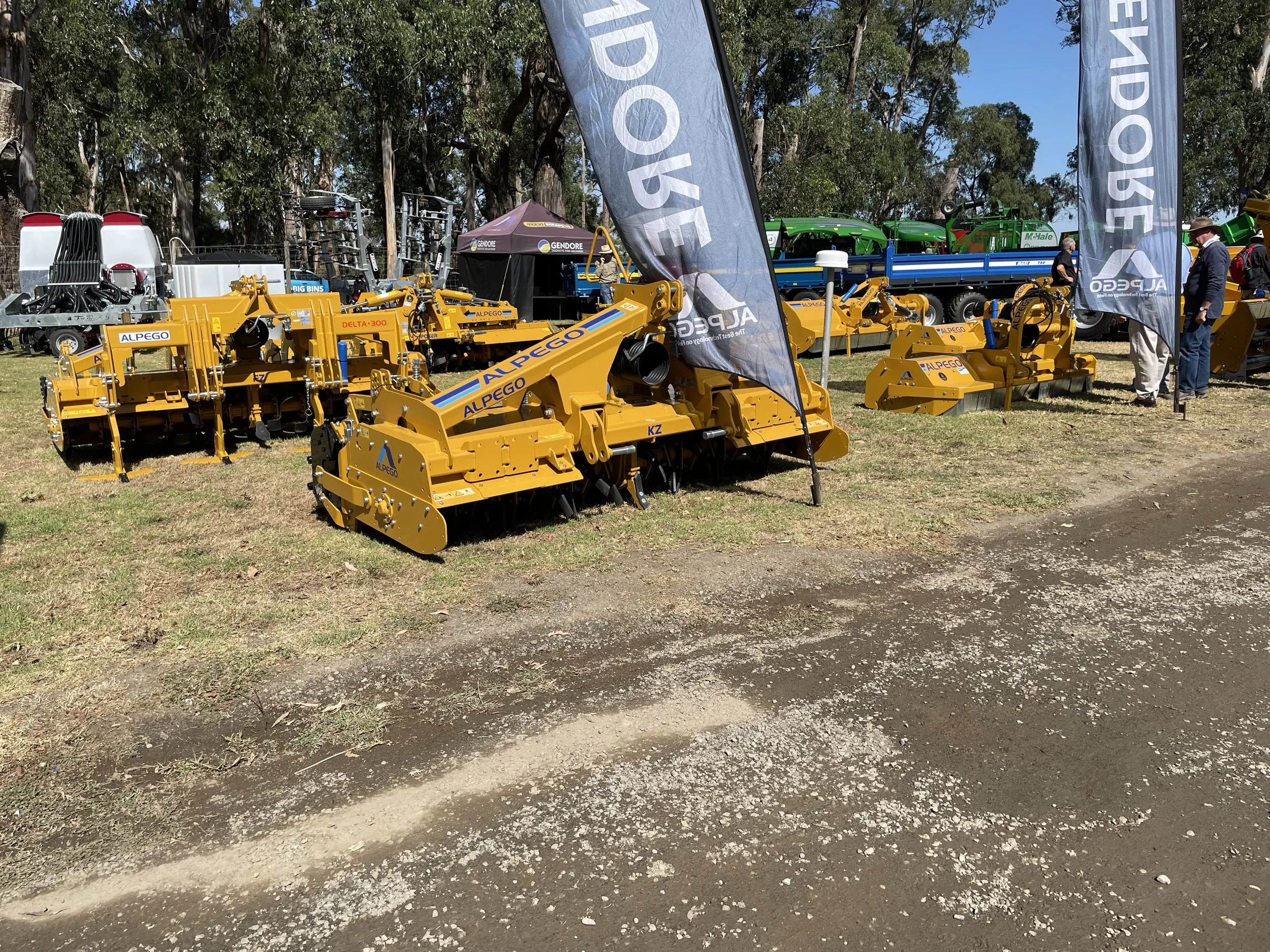
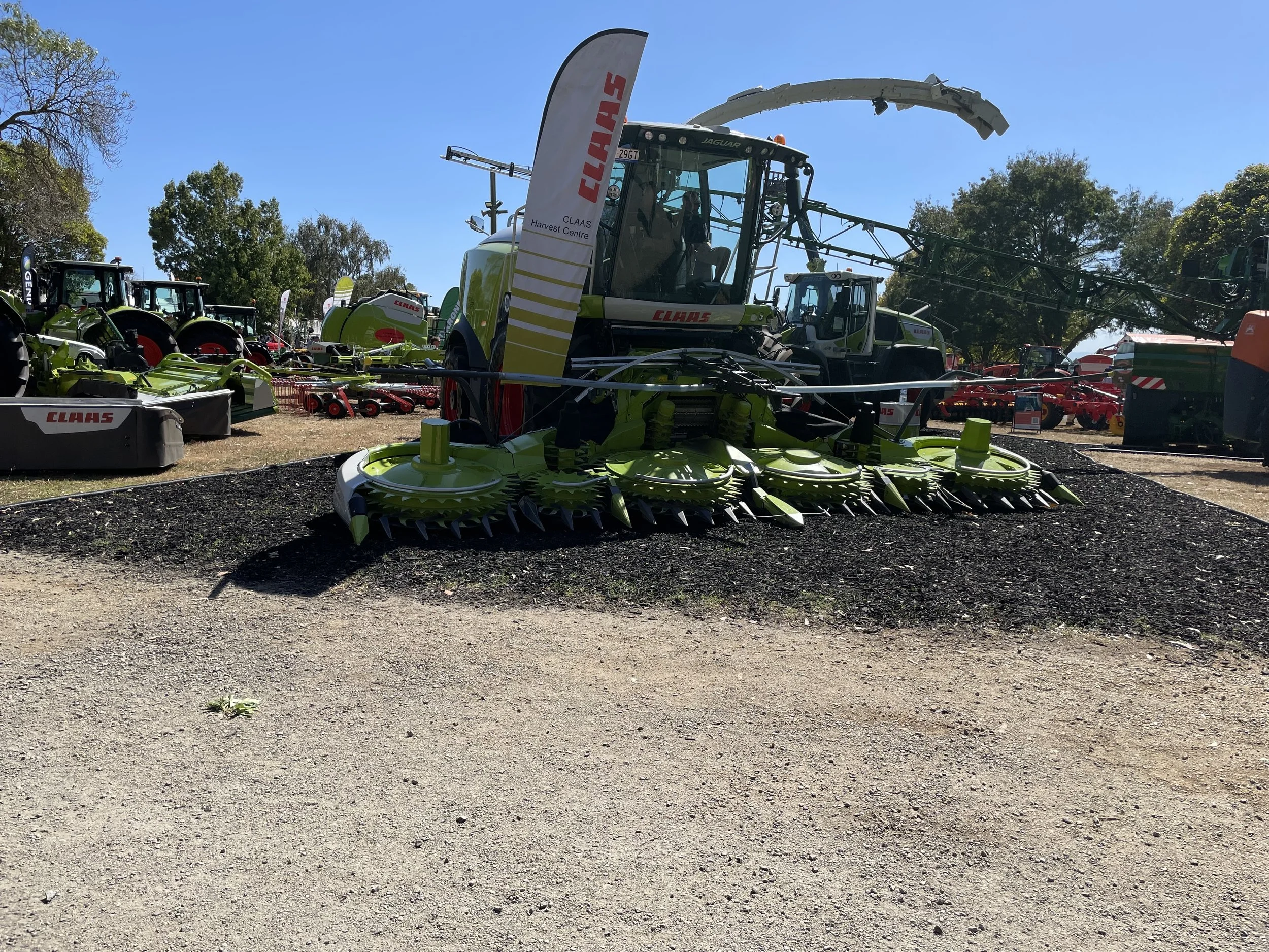
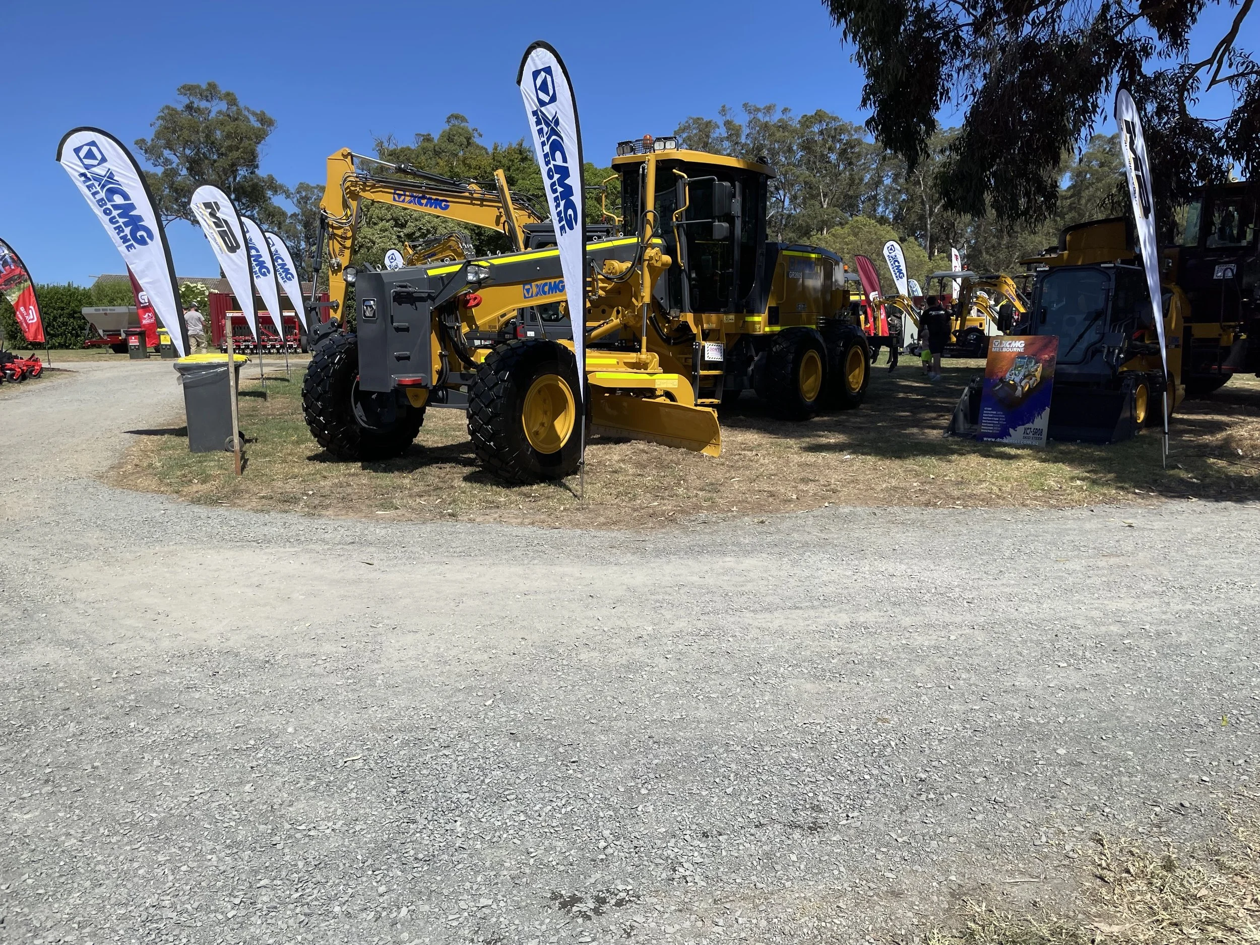
There's all sorts of small, medium, large and huge, and very big farm equipment. Plenty of it I recognise in a sort of 'I vaguely know what those do' but could never really name specifically what they do.

My farming knowledge comes from watching Landline, YouTube channels like Tara Farms, and stuff like Clarkson's Farm. I also follow some farmers on social media, and I think some farming-related feeds are in my RSS reader.

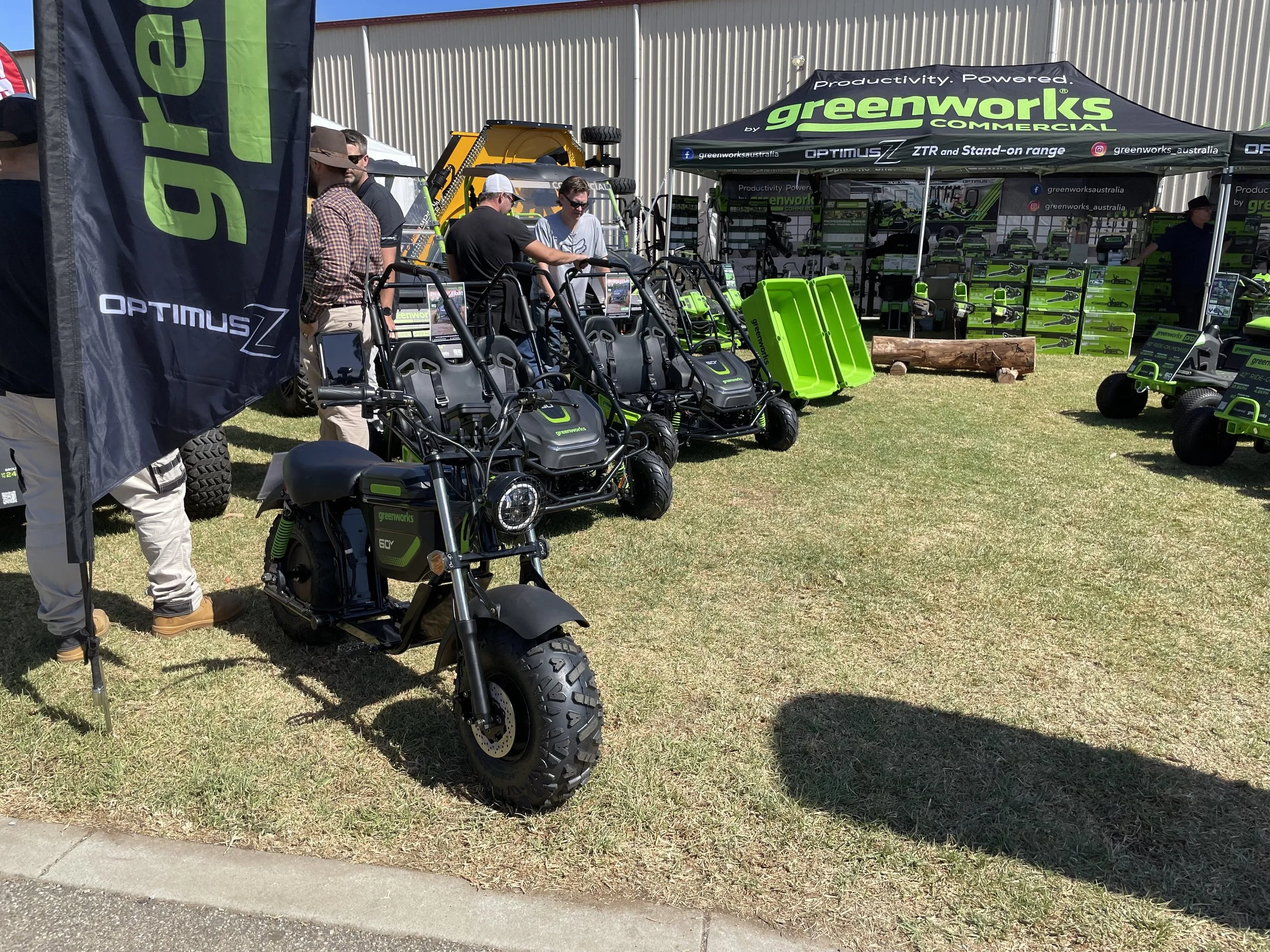
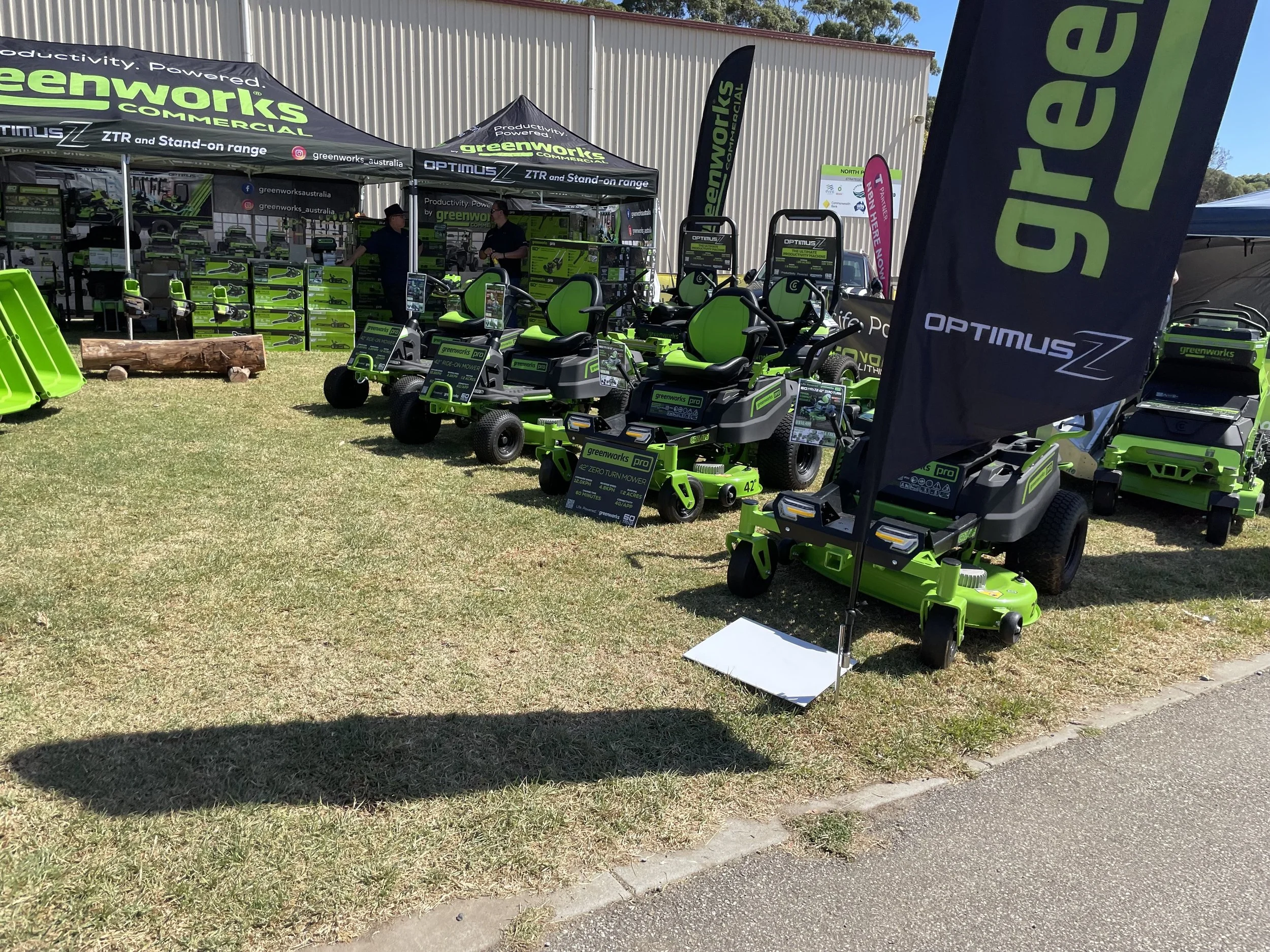
Greenworks had an interesting range of electric gardening vehicles, ride on lawn mowers and also little buggies and even an electric bike.

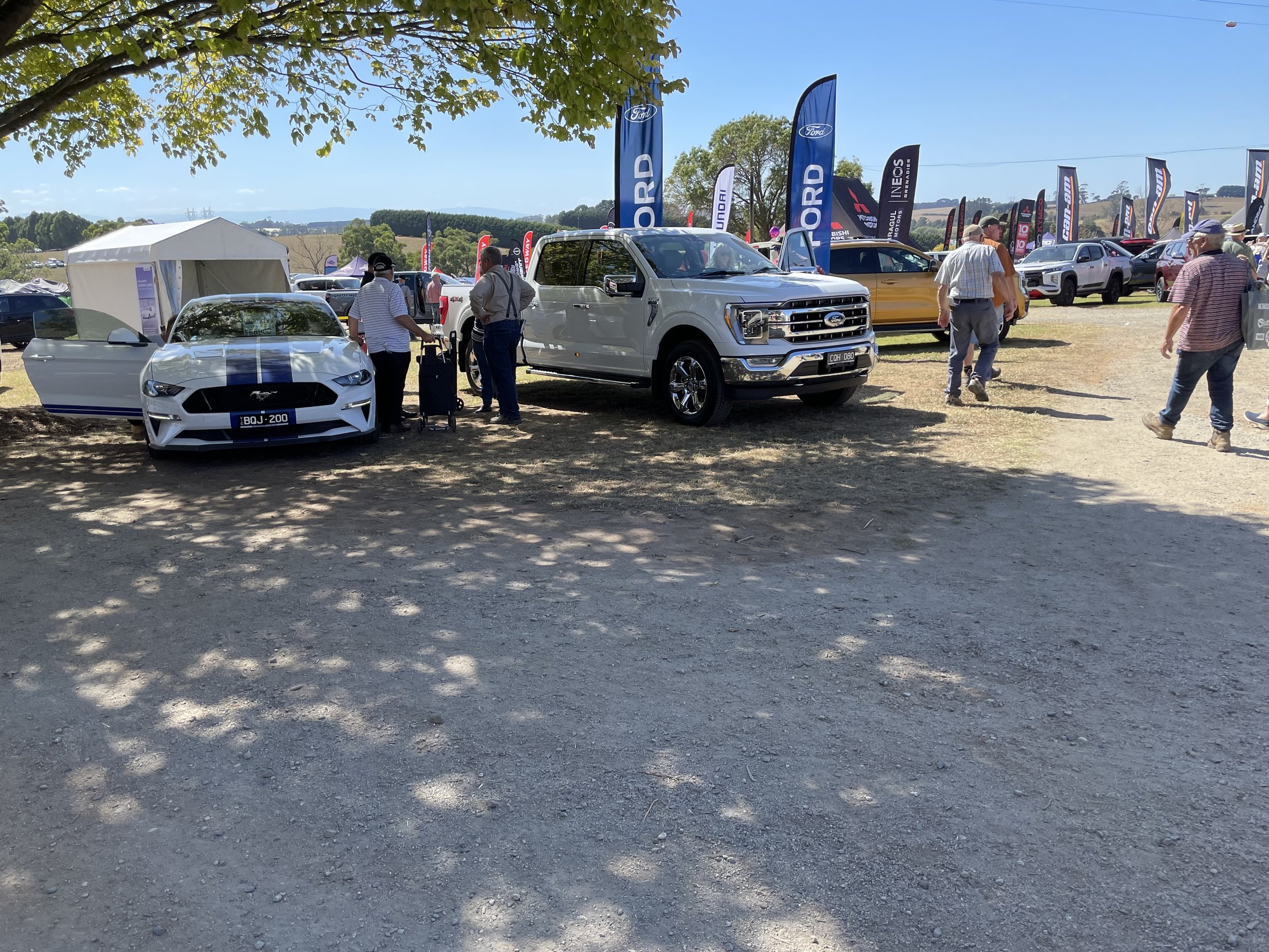
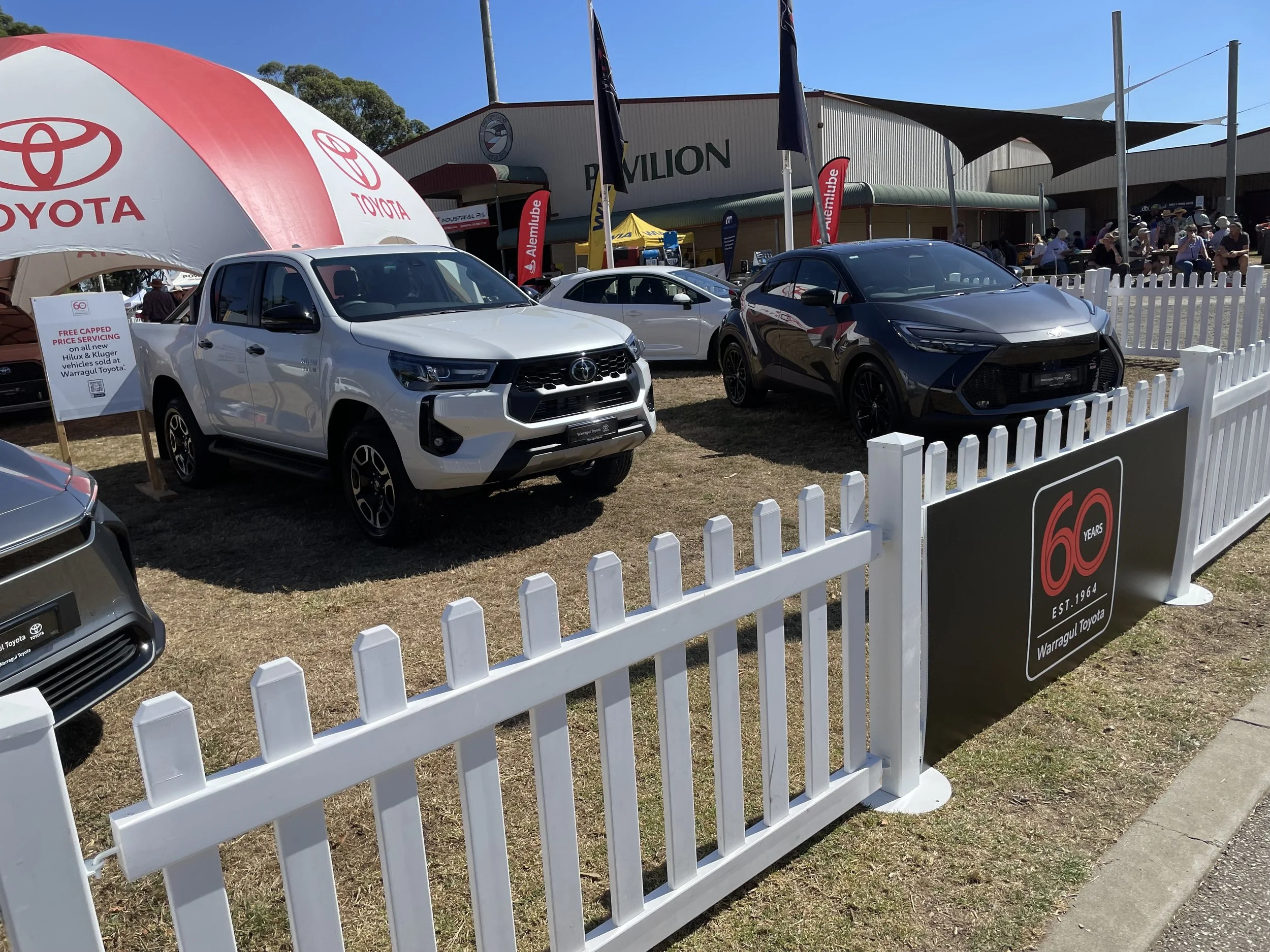
Ford had the well known farming vehicle the Mustang on display, probably to pad out their other vehicles on offer; the F150 (which I kinda wanted to ask if they've worked out all the manufacturing faults) and the Ranger.

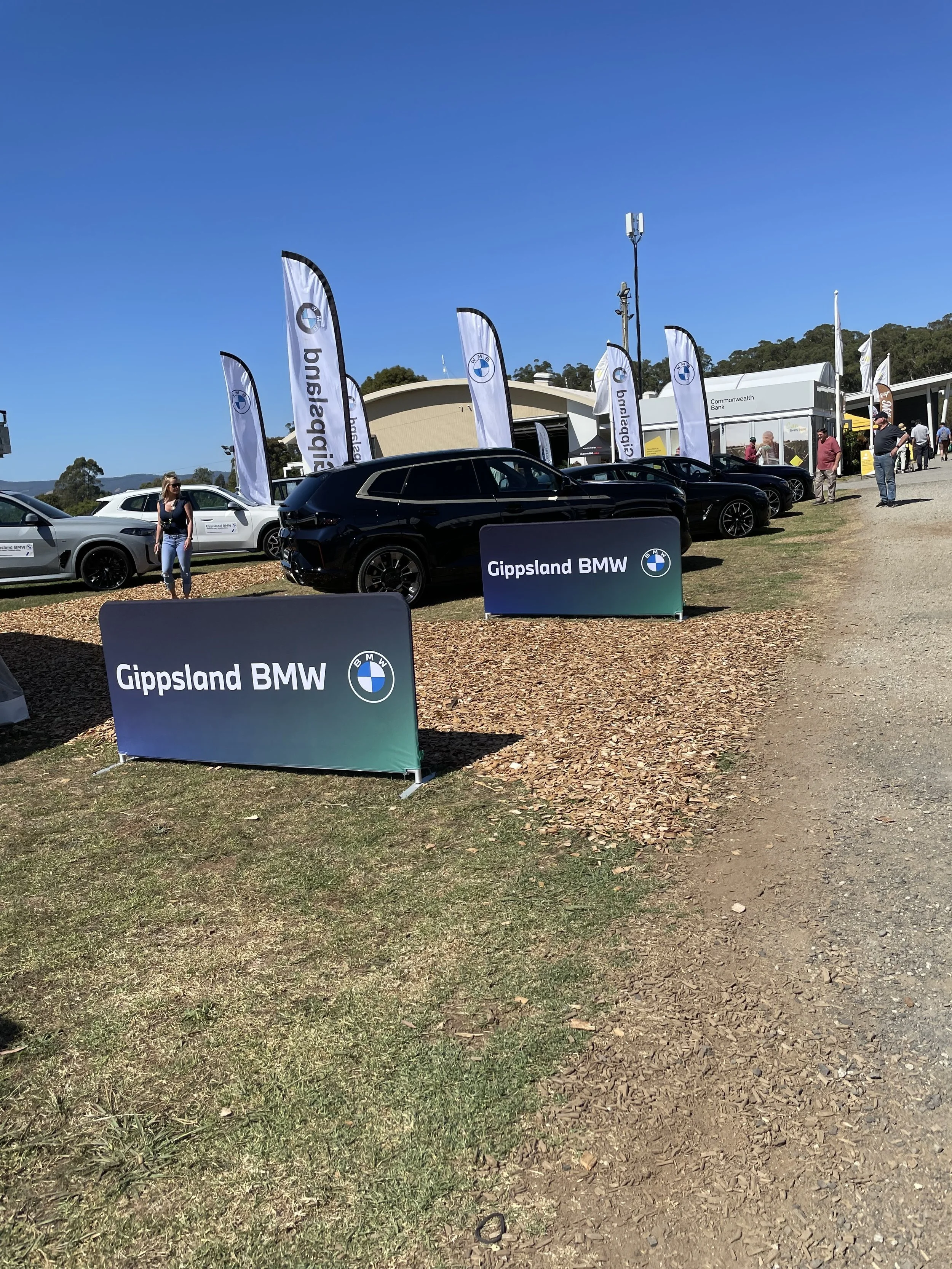
Gippsland BMW was also at Farm World, presumedly for all the well off farmers.

There are a lot of different options to eat, fried food, seafood, vegan options, and it's spread out so if you're in amongst the tele-handlers and and cherry pickers there's a coffee van. Find yourself up near the Toyota stand, German sausage, overlooking the camel rides, more food.

Farm World is on from Friday 22nd March through to Sunday 24th March 2024 at Lardner Park, 155 Burnt Store Road, Lardner 8:30 am-4:00 pm.

Cape Liptrap Lighthouse

Cape Liptrap Lighthouse is located in Tarwin Lower, reached along an 8 kilometre long dirt road (Cape Liptrap Road). 

There's plenty of car parking, and there's three different lookout positions, along with a picnic table.

I really quite enjoy the South Gippsland Highway's almost meandering path through Gippsland. In early autumn there's already some trees starting to lose leaves, intensified today with the the very windy conditions. 

The road surface itself is not a pleasant drive, I wonder if it's ever been a smooth surface to drive along, because it's always been a rougher than others highway road.

Phone reception is a little patchy from Tarwin Lower to Cape Liptrap Lighthouse, with not enough signal strength for music streaming as I drove to and from the lighthouse. Never lost phone signal, but it dropped to one bar of 3G at a few points. 

Cape Liptrap Road and entrance to lighthouse car park.

The road itself to the lighthouse Cape Liptrap Road is a 8 kilometres or so of dirt road, I did it at 80 km/h or slightly lower on the way to the lighthouse, and was fine. On the way back out I was stuck albeit some distance behind a mini-van doing less than 60 km/h, and was rewarded with a significantly dirtier vehicle for it. So keep that in mind if going on a busy / dry day.

Footpath to Lighthouse.

It's about a 300 metre walk from the car park to the lighthouse, it's along a gravel path that's smooth enough. I was wearing Converse sneakers, and it was fine. 

It was very windy out at the lighthouse, I was wearing a baseball cap that fits well and comfortably in most situations, but was worried it might fly off my head in the extreme wind that's out at the lighthouse.

The information plaque on the lighthouse has a quote in Latin: Olim Periculum - Nunc Salus (Once Perilous, Now Safe).

The lighthouse is a lighthouse, it's not as big as some. There's apparently been numerous shipwrecks along the coast here, the information board at the lookout lists 5 different ships that were wrecked near there.

The lighthouse remains operational to this day.

Agnes Falls

Agnes Falls

The area around Agnes Falls is grazing and farm land. Around the falls itself it's a small reserve that is probably how the area looked before farming arrived in the area – according to the information sign that was in 1844.

Agnes Falls is closest to the town of Toora, it took me about 2 and a half hours to get out there.

I've been out to this area in the past, to Port Franklin before, so it's nice recognising the road and area as I drove out there.

Agnes River at bottom of falls

Saw one farm that had a field of corn, never seen a full field of corn growing before. Or it could be maize. I'm pretty sure it was some sort of corn-type of thing growing.

Turning off the South Gippsland Highway towards Agnes Falls takes you past the Toora wind farm. Have seen wind farms in the distance in various places, but this is the closes I've been; driving past them, and they're quite sizeable. 

Driving up Silcocks Hill Road, which is decently steep, but it's sealed, in fact all the roads are sealed to Agnes Falls. You turn from Hazel Park Road onto Agnes River Road and then along Agnes Falls Road. Nice and simple naming conventions there.

Agnes River weir

There is a sign as you drive towards Agnes Falls that says something to the affect of 'warning limited space in car park for turning of long vehicles' - basically there's not a lot of room for anyone towing a caravan to turn around / do a U-turn.

The falls themselves are reached by a path that's 220 metres long, there's two viewing areas to look at the falls from. 

Views from Silcocks Road

Cape Paterson-Inverloch Road

Shoreline view from Eagles Nest lookout

Went out for a drive, took my car out for a bit of a run.

Was on the warmer side of things, it hit 40ºC as I was driving home. 

Decided to go down to Cape Paterson and go along Cape Paterson-Inverloch Road, which is very pleasant, it's like a mini-Great Ocean Road.

Eagles Nest

I stopped off at the Eagles Nest lookout.

Drove around some of the roads around Korumburra, Kongwak and Loch before making my way home. 

Lake Glenmaggie

In the week leading up to today's adventure I had actually settled on somewhere else to go, but wasn't quite in the right headspace, so with some things on my mind I wanted a different sort of journey. 

Lake Glenmaggie lookout viewing area

A longer drive with some freeway driving and to see some different landscapes. 

So I chose Lake Glenmaggie. 

Or to be more specific Lake Glenmaggie Weir Reserve.

It was a little over 200 kilometres and a bit more than 2 hours 30 minutes, give or take for the roadworks and slow traffic and all of that.

The journey started by getting away from the Mornington Peninsula, through Tooradin and Google Maps trying to route me to the M1 Princes Highway as quickly as possible.

But for whatever reason it routed me away from the Pakenham interchange and instead I enjoyed a drive through Koo Wee Rup, Bayles and along Koo Wee Rup-Longwarry Road. For what is an 80 speed limit road it comes to quite a sharp cross intersection with Chambers and Bridge Roads in Modella. I think it feels sharper because of the bridge and the armco barriers that are on both sides of the road around there.

Lake Glenmaggie weir - Black and White Instax photo

Continuing through Longwarry and then onto the Princes Highway, then swinging onto the Princes Highway and needing to go all the way up to 110 kilometres. 

It is kind of interesting that the Princes Highway passes through some towns where the speed limit drops back down to 80 before climbing back up, giving you a brief look as you come to stop at traffic lights in those towns. 

Trafalgar I noticed has a Holden museum, something I didn't stop for today, but will probably return and visit at some point in the future.

I have driven the Princes Highway before, on my road trip to Canberra a couple of years ago. But today I took in the journey in a different way, with a different destination in mind.

As the Princes Freeway (now unshackled from its highway status) wound its way through Moe I took the John Field Drive exit, an exit that seemed to come up very quickly. Names like this are kinda intriguing and I went down a little rabbit hole of research to work out who John Field was.

Brigadier John Field served in the Australian Army in World War II, there's plenty more on his Wikipedia page, which doesn't mention John Field Drive. For that / to get context for who he was I had to take a little dive through different search terms until I found Virtual Yallourn and this newspaper scan - 'The Field of Power', where it mentions Brigadier John Field in relation to Newborough and Moe. Although this was three pages into the search results. 

He was part of the State Electricity Commission and worked for them for more than a decade.

John Field Drive was obviously planned as a drive as it's a very wide boulevard with large green areas on both sides of the road before you get to the house boundary on one side and the sports fields on the other side.

The power stations in Yallourn seem obvious when you look at them on Google Earth, and I knew of Hazelwood (or where it had been), and Loy Yang, but sort of only vaguely knew where Yallourn power station was - or Yallourn W Power Station - to give it its full name was located. 

So it was with some surprise and amusement that I realised that John Field Drive took me straight past it. 

And it's magnificent in a way that only a big piece of 20th century engineering can be. Even the road layout around it has this very 1960s sort of design to it, from the over/under passes that go around it, and the use of grass and green space around the building, there's something very...beautiful might be pushing it, but designed in a certain way.

There's also something kind of amusing about where it's placed. If anyone has ever played SimCity 3000 before, and you kinda plan out your city and try to put the power stations away from everything else, but then you find your city running out of power so you just think 'ah...I'll just drop a power station on this awkward bit of land here, and run the roads around it, it'll do', and that's how I thought as I drove around Yallourn W.

Driving past the Old Brown Coal Mine Museum in Yallourn North I made a mental note to also revisit that. Again, not on my to do list for today.

The C103 - Brown Coal Mine Road leads you on some nice sweeping roads to Tyers. Which was interesting because there's some new development going on there.

Large country-style blocks, but still very new development. Tyers has a decently sized primary school, but not much in the way of other shops, there's the petrol station and the post office and that's it. Although Traralgon is only a 15 minute drive away. 

Driving through Cowwarr was odd, because the road and gutters and everything along the C105 - Traralgon-Maffra Road seemed to have been re-surfaced and redone. But it seems to have been done in 2016 by the Andrews Government.

I had neglected to fill up with diesel earlier today as I hadn't intended really to go out like I had, so at this point I had a quarter of a tank - still well over 200 km to empty, which is what I kept telling myself, that I'd fill up once I was back closer to the freeway. 

But then as I approached Heyfield and had driven the fairly lacking in people and vehicles drive from Cowwarr decided that while a quarter or even an eighth of a tank would be fine and safe to get me back to a larger town...I filled up in Heyfield at the Timberline General Store, a combination general store, petrol station and everything there. 

Lake Glenmaggie parking area near weir

In Heyfield to Lake Glenmaggie it's just down Weir Road, and along with a slight dogleg to stay on Weir Road as it crosses Tinambe-Glenmaggie Road, and then you can drive into Lake Glenmaggie Weir Reserve. 

Be aware that there's all these signs saying 'road spikes' which does suggest that this location is a bit more serious than other reserves. 

Driving in there's a car park, an information hut, toilets, some picnic tables and a small circuit where you can park closer to the weir itself. 

I stopped, had a brief look around, drove around the circuit so I could look at the weir close up. You can't unfortunately walk along the weir, and there are a lot of signs warning you against this, along with razor wire, fencing and a lot of serious looking stuff to stop you even thinking about it. 

I appeared to be the only one at the reserve, aside from the people working in the Southern Rural Water building.

Lake Glenmaggie with boat (far left)

There was one other car in the car park, but I didn't see anyone in my wanderings around I did. 

There was one boat out on the lake itself.

Ammenities wise, there's some picnic tables which are nice in a sort of artistic utilitarian sort of way, I'm pretty sure I've seen the same design of picnic table at road-side rest stops around the country. 

There's the aforementioned information hut the "Southern Rural Water Pictorial Display", there's also more picnic tables under cover in there.

There's a toilet block as well, which I availed myself of before departing. 

The men's toilet has a single urinal and there's a single stall toilet as well with one sink.

Interestingly on one side (the back I realised as I approached it) it says "Men" and "Ladies" and then on the front where you go in it says "Ladies" and "Gents". There's also a disabled toilet.

Leaving the road says 'warning road spikes' and to keep left, which it appeared to have the road spikes engaged, so I elected just to exit the way I came in and kept right. I just recently got new tyres and had no desire to shred them. 

Leaving Lake Glenmaggie there was a very impatient person in a Fort Territory behind me, despite me doing to the speed limit of either or 100 he came up tailgating me, and then overtook me, accelerating away. I figured local who knows the roads, and paid it no mind. Looking at the map the township of Coongulla is past the weir and Weir Road is one of two that link to the township and Weir Road is the most direct into Heyfield, so imagine for those who live there it's an often travelled road, one that visitors get in the way of transversing.

The journey home was pretty uneventful, just a reverse of the journey out. There was a little more traffic on the road, a few more tractors and the like to overtake than on my way in. 

Port Franklin

After last week's adventure I decided to go for a little bit of a drive to somewhere unassuming. 

Port Franklin. It's in Gippsland, it's a fishing village. It has a page on the Visit South Gippsland that provides a little information about it.

There's lots of long sweeping kinda blind curves on the road into Port Franklin.

I selected Port Franklin...just because?...It was a location to aim for on a nice drive. That may be a theme going forward for some of these adventures.

It's got a viewing platform.

It was very quiet when I arrived, there was a fisherman working and a child riding a bike along the street.

The drive to Port Franklin along the South Gippsland Highway was nice, at one place it increases in elevation to a great degree. So much so that I was in the clouds, they were rolling through as I was driving, given the day was forecast in Melbourne as 26ºC driving through this wiped off at least 5ºC. 

The cloudy atmosphere continued as I arrived in Port Franklin the overcast weather lending an almost wintery cast to the landscape, despite the lack of cold weather, in fact the humidity was rapidly rising when I was departing Port Franklin.

Port Franklin doesn't have any shops, and the only amenity I noticed were some tennis courts, and a Telstra phone box. 

Interestingly as I was driving out of town I noticed one new build house.  

Most of the houses are original of different vintages, but this one was a new house, which was interesting in itself, although looking on the map Foster is only a 10 minute drive away. And while Foster isn't exactly a bustling metropolis it looks like it's had some recent new housing go in that used to be paddocks about 10 years ago.

According to the 2021 census there's 174 people in Port Franklin (which is an increase of 40 from the last census in 2016). 

There's some towns that the South Gippsland Highway that aren't bypassed on the way to Port Franklin of them Meeniyan has a kinda artsy, quiet weekend getaway sort of vibe to it. As though people have rediscovered it. 

The Victorian Livestock Exchange is interesting, not really to see, but just sort of interesting that it's there, and next door to it is a big place selling various John Deere equipment.

Leongatha I ended up driving through the town going in both directions, despite realising that there was a bypass of sorts that didn't take you along the speed hump laden Bair Street in Leongatha. But it's sort of an awkward set of turns to route the roads around the town centre.

There's a nice Art Deco pub in Leongatha, the Bairs Otago Hotel.

The Leongatha Memorial Hall is also notable, given its large Victory statue on the top of the building. According to the Victorian Heritage Database it's an example of Free Classical design in from the inter-war period.

The South Gippsland Highway makes its way through Korumburra as a double lane road in both directions, there were shops along both sides of this road, but it felt a little like it was in a point of transition with older shops being renovated and newer ones open along side some older closed ones.

The realignment of the South Gippsland Highway between Koonwarra and Meeniyan is still ongoing, so for that length the speed limit is 40 km/h. The road surface is nice and smooth which is nice, and at 40 you get plenty of time to enjoy it.