Upper Yarra Reservoir
I went for drive up to the Upper Yarra Reservoir, heading up Eastlink it was surprisingly busy for a week day. The route up was basically the same up to Mount Donna Buang that I did a few weeks ago.
Except in Warburton I continued along the C511 - Woods Point Road. Which continued to be a nice driver's road.
Then the road splits off with Woods Point Road continuing on the left and Upper Yarra Dam Road continuing straight ahead.
There is a gate as you approach the reservoir with some speed humps also.
Sign: Upper Yarra Drinking Water Catchment “No People, No Dogs, No Fishing, No Swimming, No Shooting”.
You can tell you're approaching a dam that was built in the mid 20th century because you first see some sculpted grounds and well established European trees, the Maroondah Dam also has this feature nearby of mature non-native trees. Although there are fewer here than there.
I didn't realise there were camp grounds next to the reservoir, and basically in the shadow of the dam / reservoir wall. There were some people, maybe half a dozen people max with tents set up around this area.
It was nice, there was big sign saying (amongst others) "No People", that this was a drinking water catchment area.
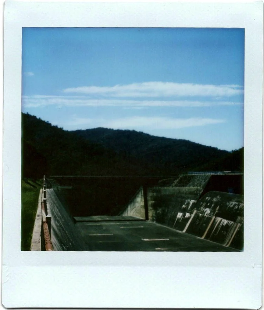
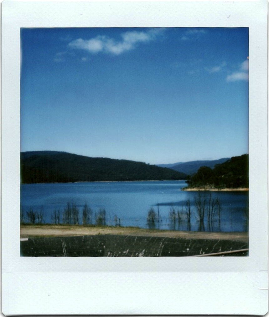
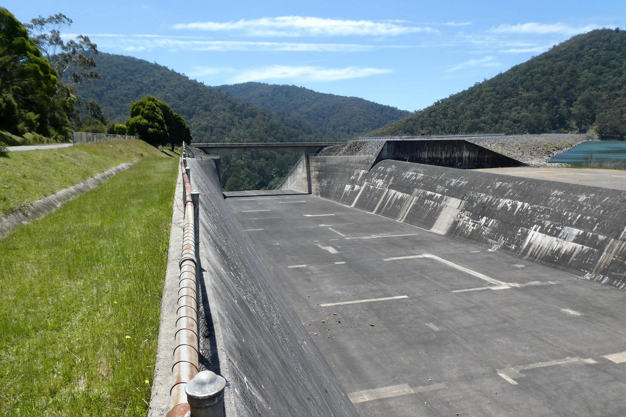
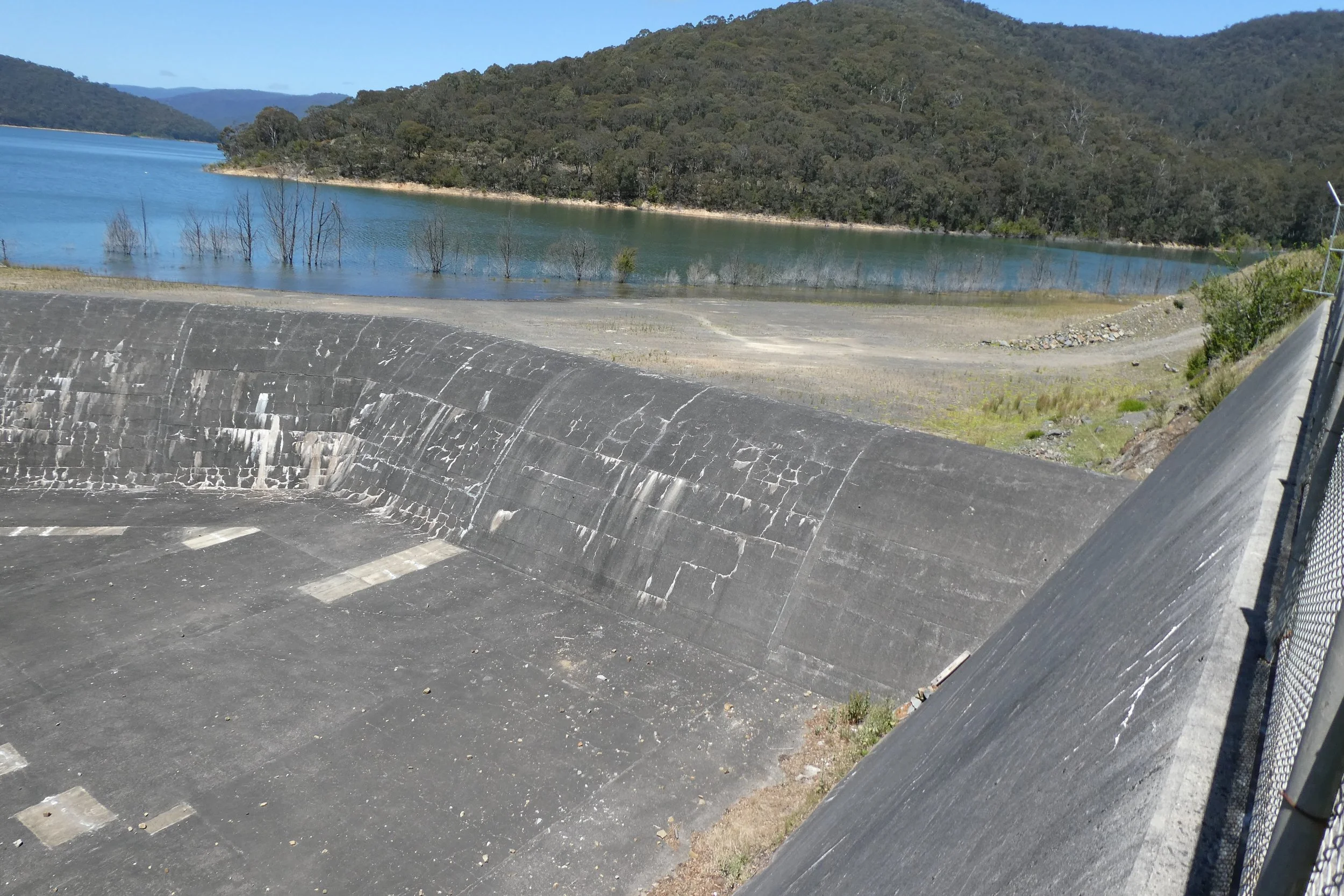
There's a concrete spill way, which apparently is not the source of the Yarra, but kinda feels like if the Yarra River is separated by a large reservoir that would make it a different river, or a tributary or something like that. But I'm not a hydrologist.
I took some photos, had a little bit of a look around, and then departed.