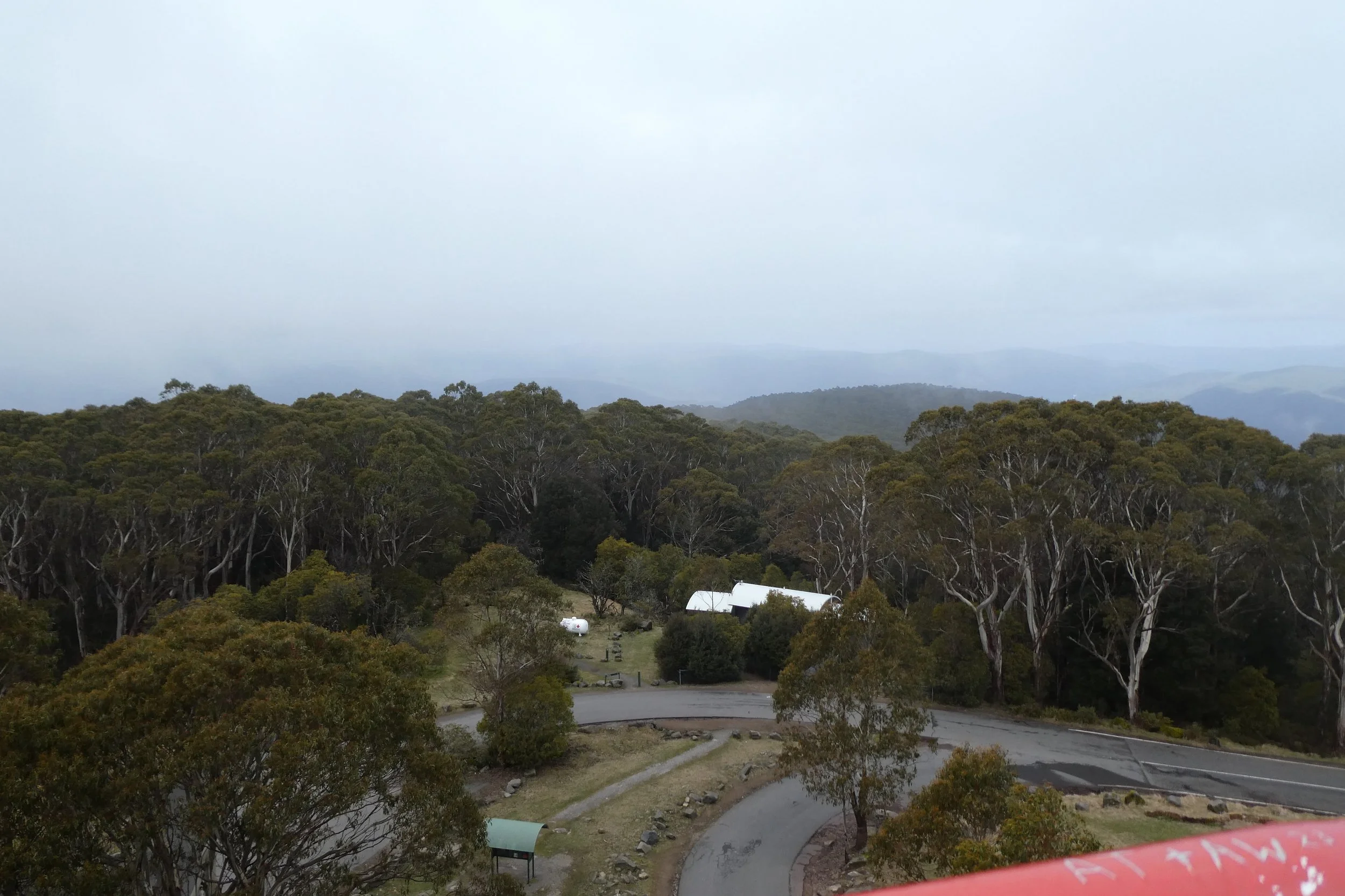
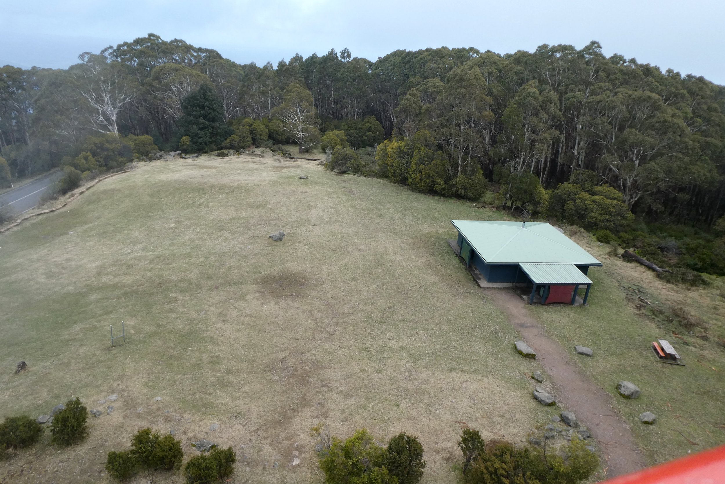
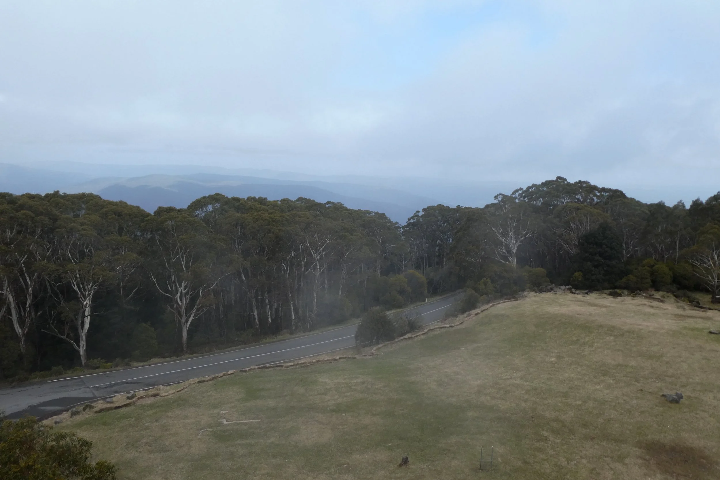
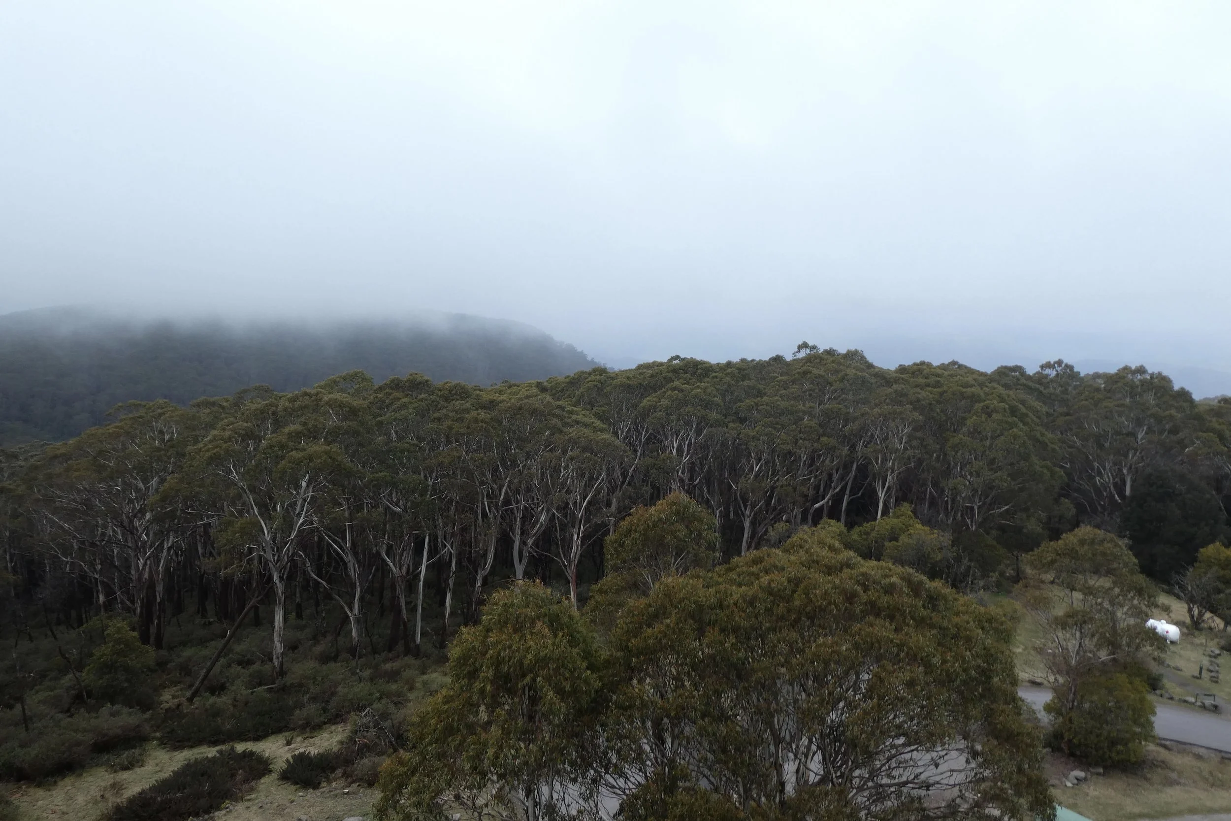
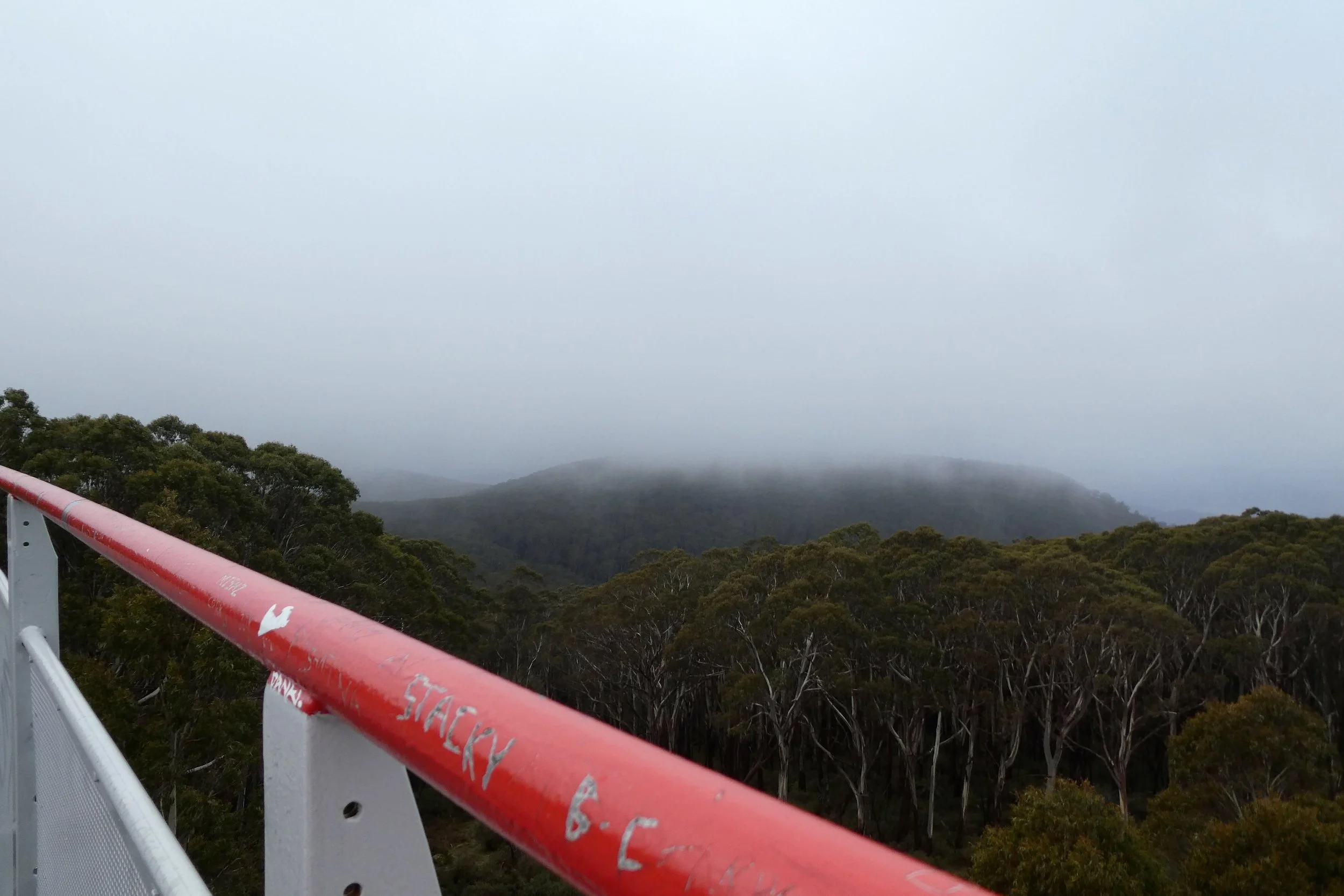
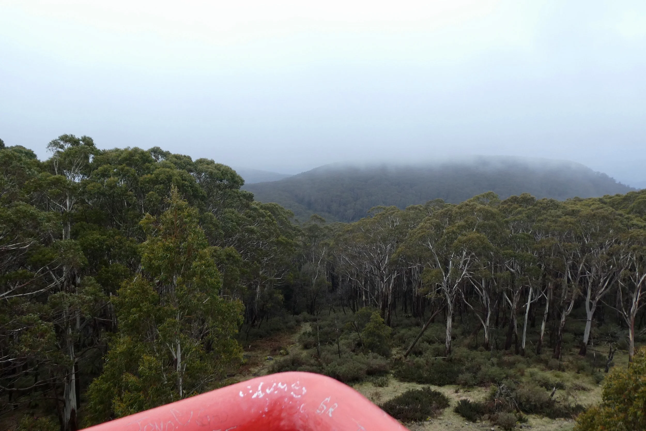
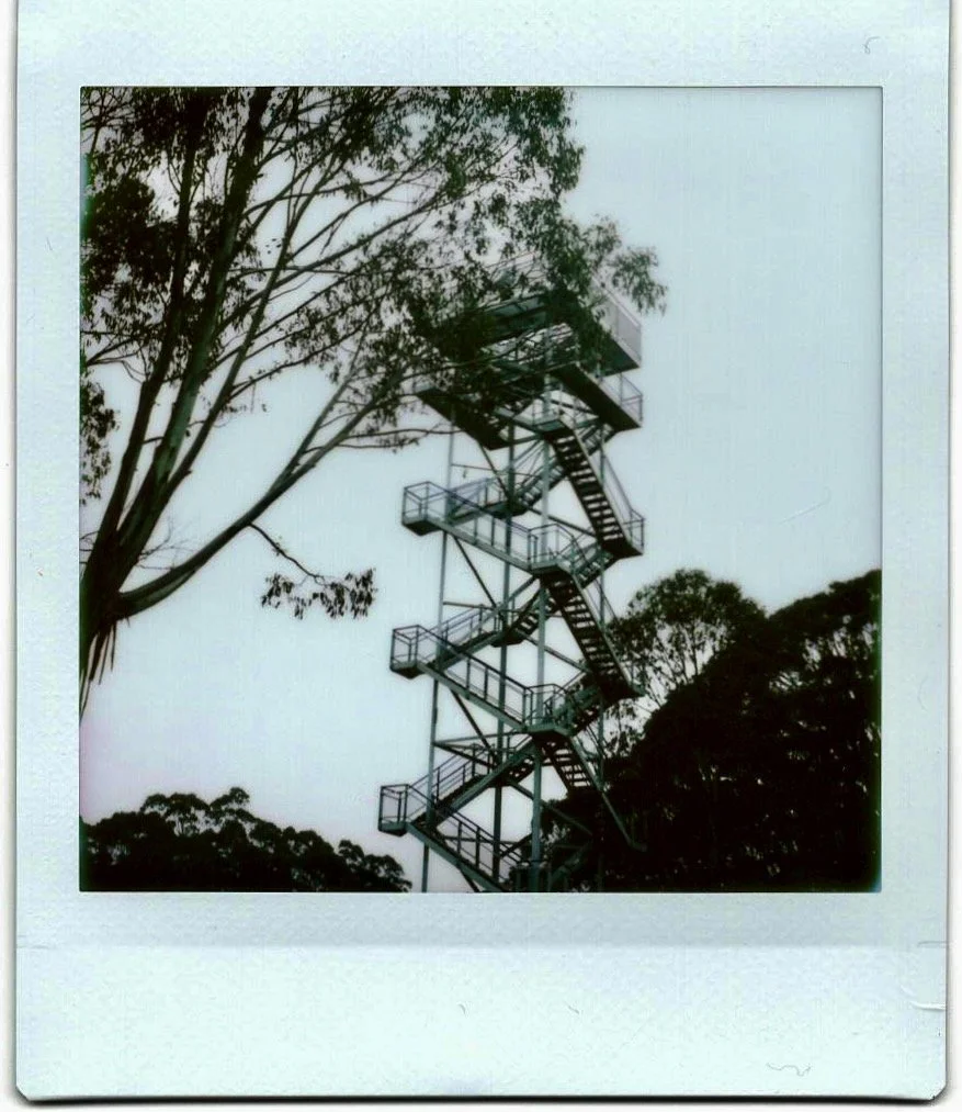
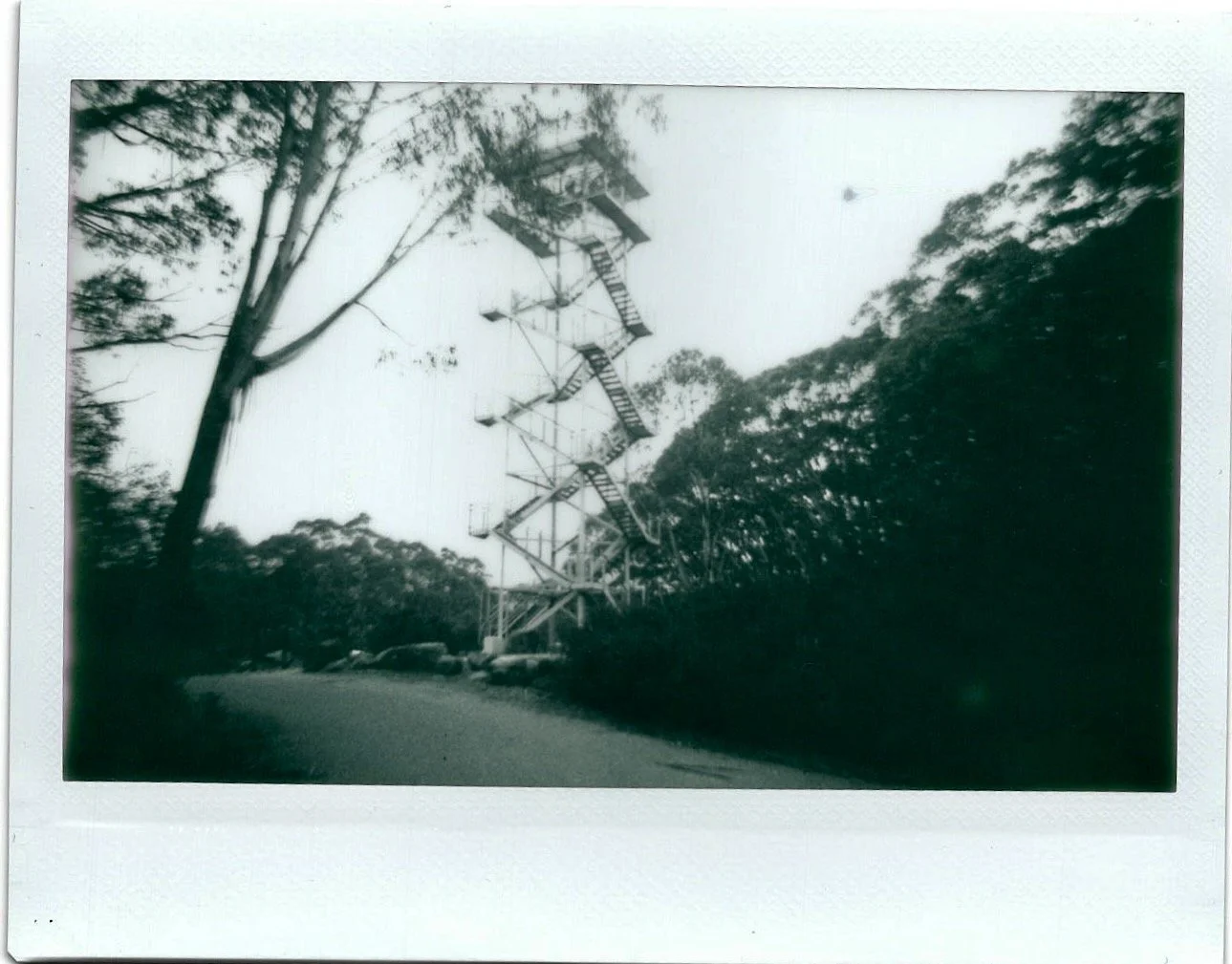
There wasn't much to see from the viewing platform, it being a cloudy day. But it was still bracing to get to the top.
It was a surprisingly easy drive from EastLink to Warburton. Along Canterbury Road for a lot, then York Road into Mount Evelyn, through the slightly awkward roundabout in Wandin North and onto the Warbuton Highway, then it's just on that all the way to its namesake.
It was about 15ºC in Warburton, but as I drove up the road the degrees started to come off the temperature, until when I reached the top it was 5ºC with a decent breeze dropping the temperature even more.
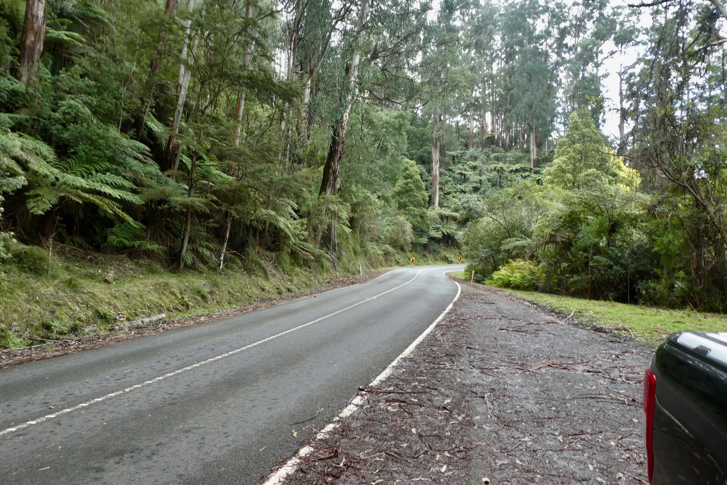
Donna Buang Road is in good condition, about 3/4 of the way up there was road works, it was pretty significant road works as well. It reduced the road to one lane, controlled by traffic lights. It looked like they were rebuilding the road from somewhere at least 5 metres below the surface of the road, as there was a digger at what I assumed was 'ground' level and its arm barely came up to the road surface. Once you turn on to what is listed on Google as 'Rd 2' and is marked as being the road to the summit, the surface remains good, and the speed limit is 80 kilometres (as is most of Donna Buang Road), however some sticks that had fallen onto the road, nothing huge, but you'd certainly notice it in a non-4x4 type of vehicle. Given there was no traffic it was easily avoided.
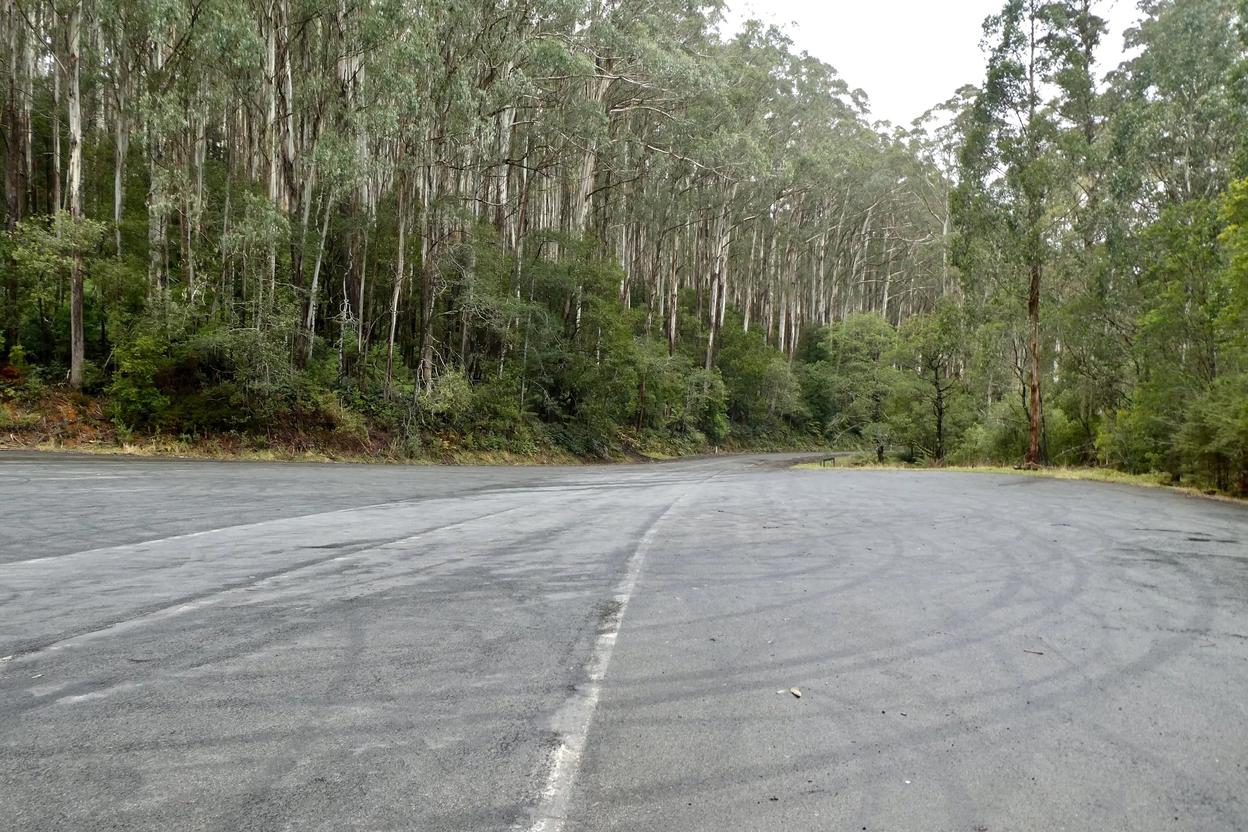
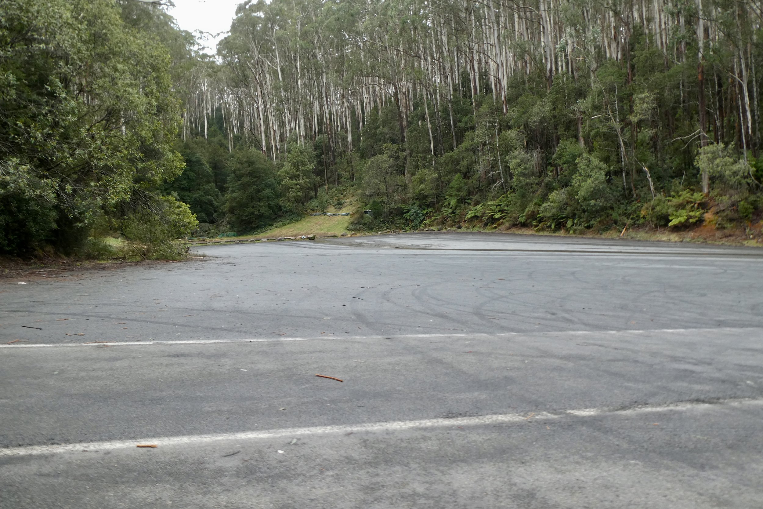
About half way up the road there was a huge parking area, and a toilet block.
After that it's a short drive up to the lookout itself.
The lookout is a set of stairs up to where you can (presumedly) see the view all around the mountain. Unfortunately today was cloudy, although it still afforded a bracing view.
The climb up was easy enough, although the wind and temperature at the top was quite brisk.
I met some cyclists at the bottom of the lookout, they'd cycled all the way up there, I took their photo for them holding their bikes in front of the sign. According to Wikipedia it's a challenging route averaging 6.2% climb over 16.6 kilometres.
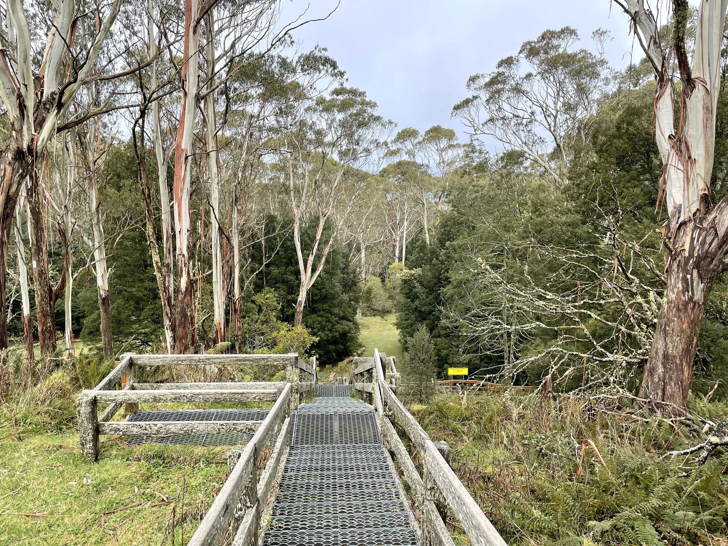
I had a little bit of a wander around, there's a toilet block up there, with a large LPG tank beside it, I wonder for hot water for the toilets? I walked and nearly tripped down the stairs that led to the (closed) toboggan run. The stairs' treads are very shallow, not sure if that's so if they're covered in snow they're easier to transverse, but I elected not to explore them further.
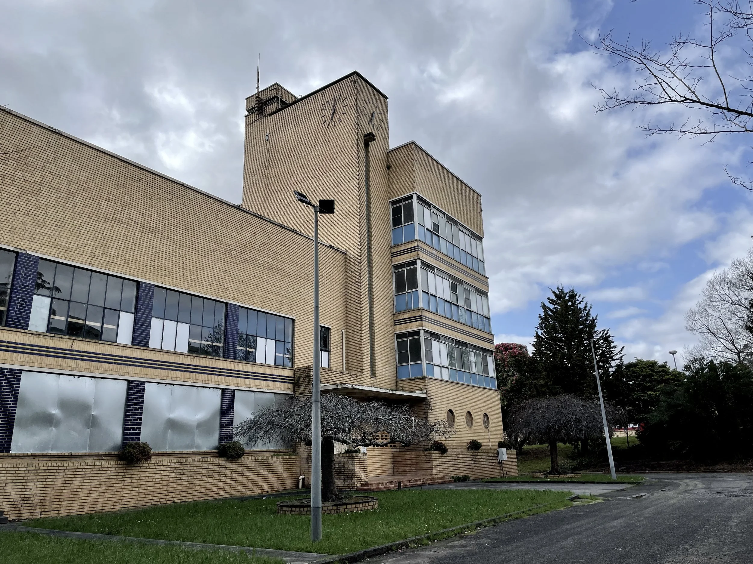
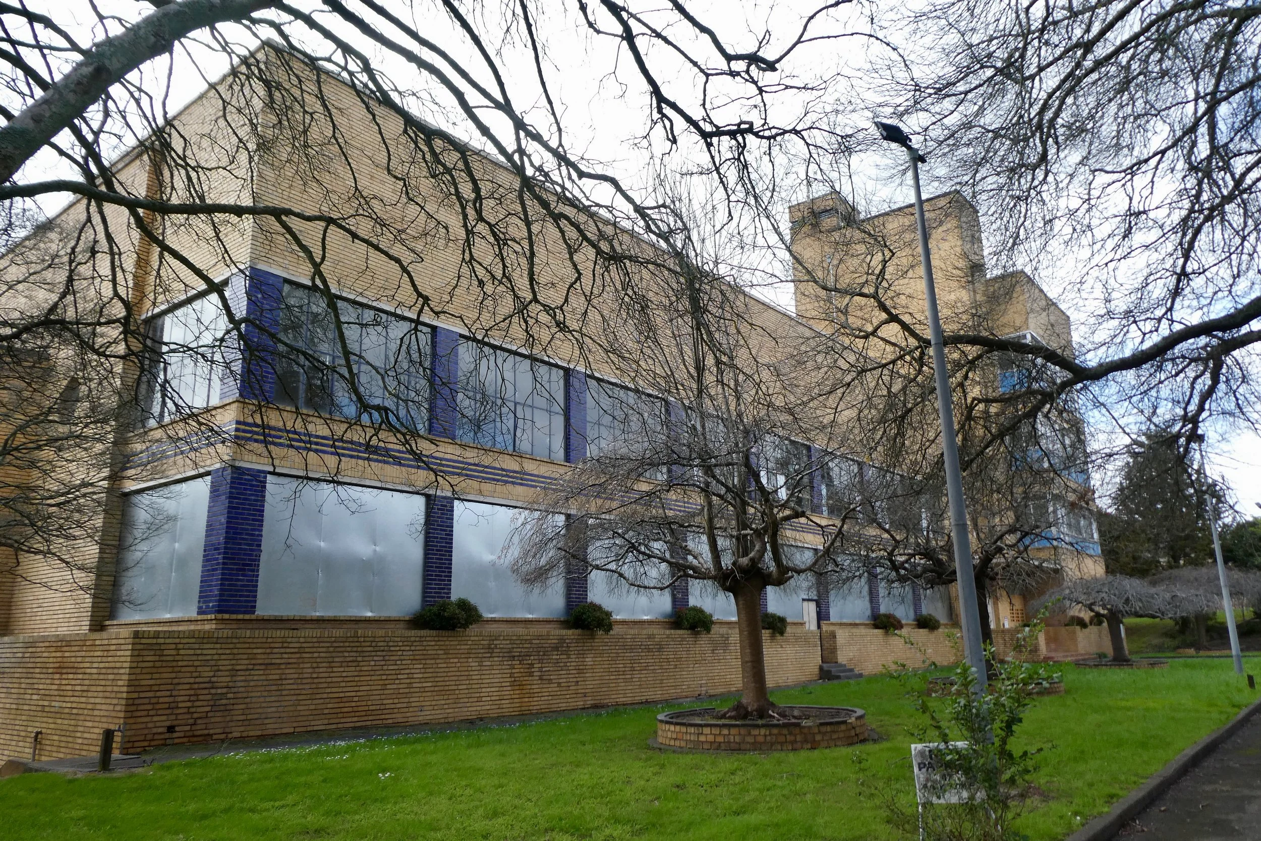
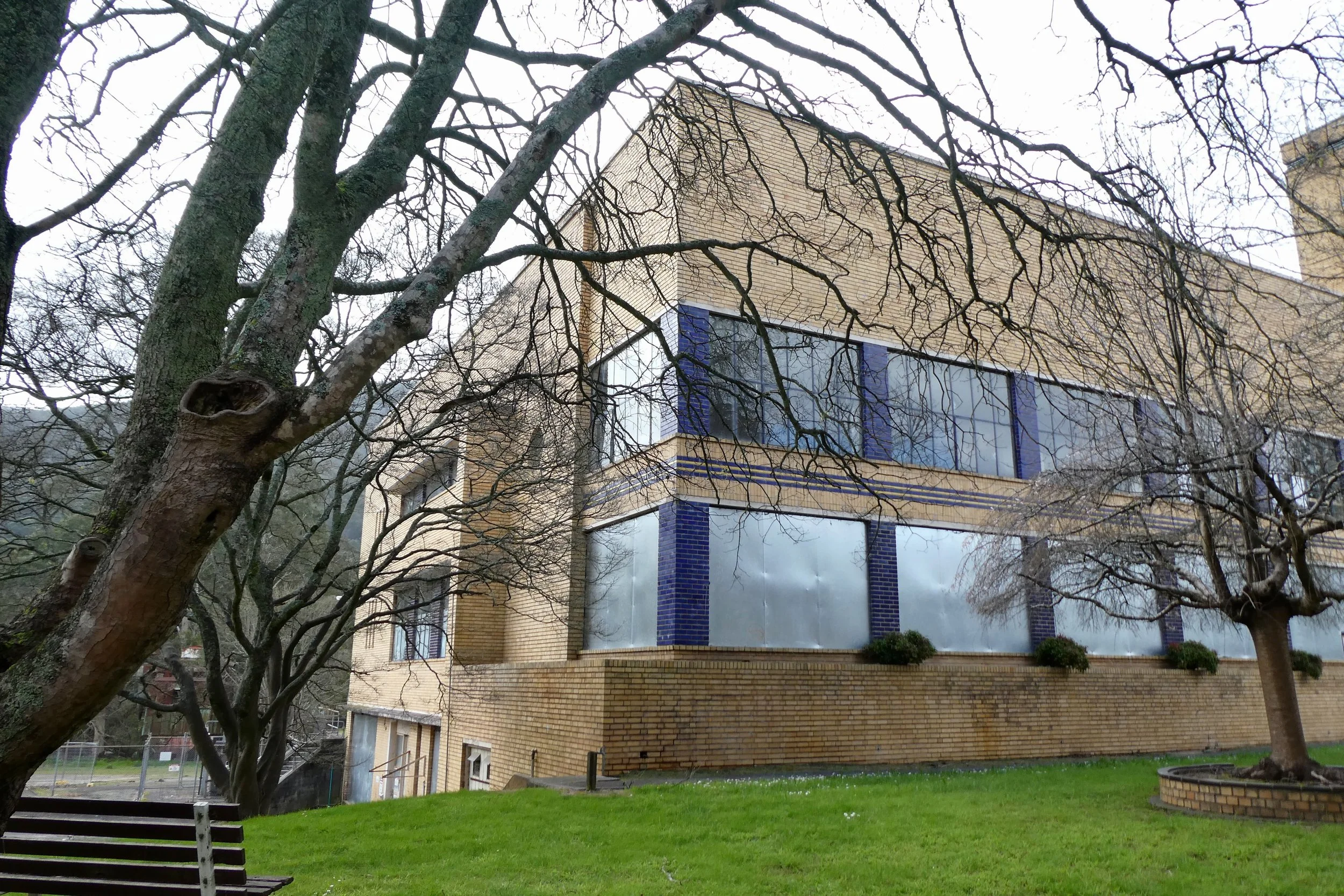
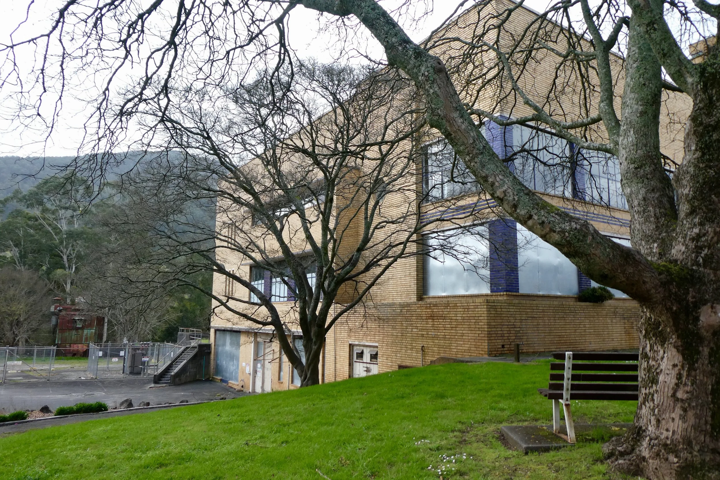
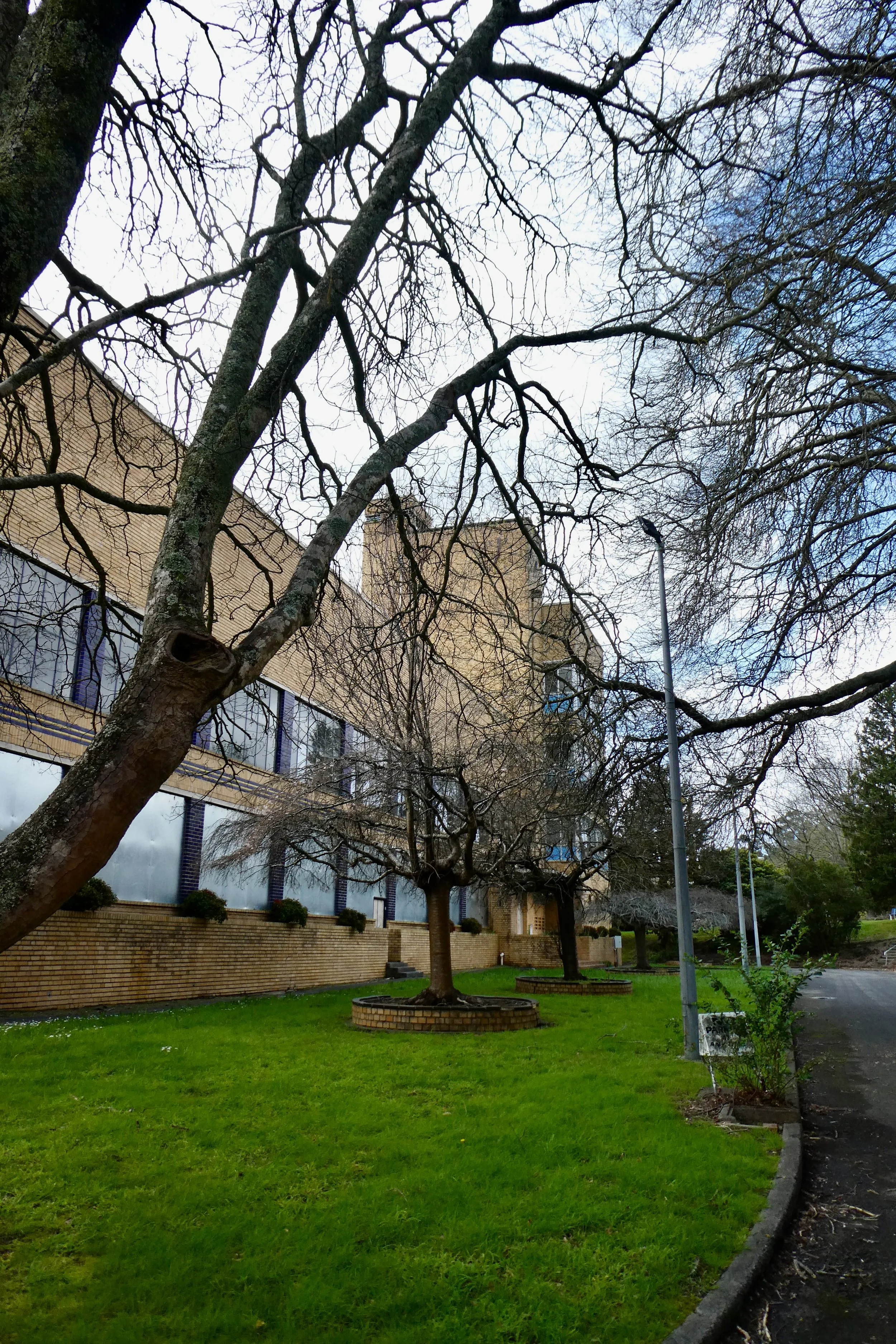
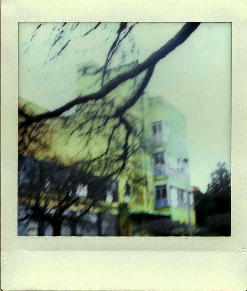
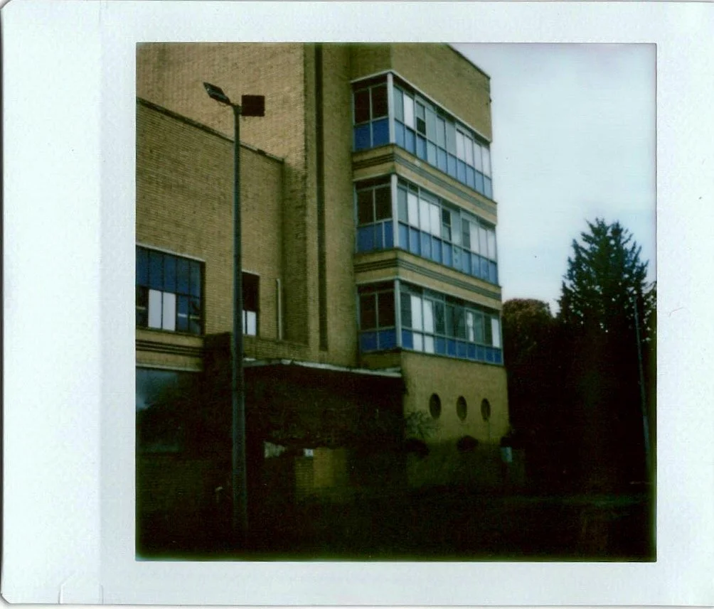
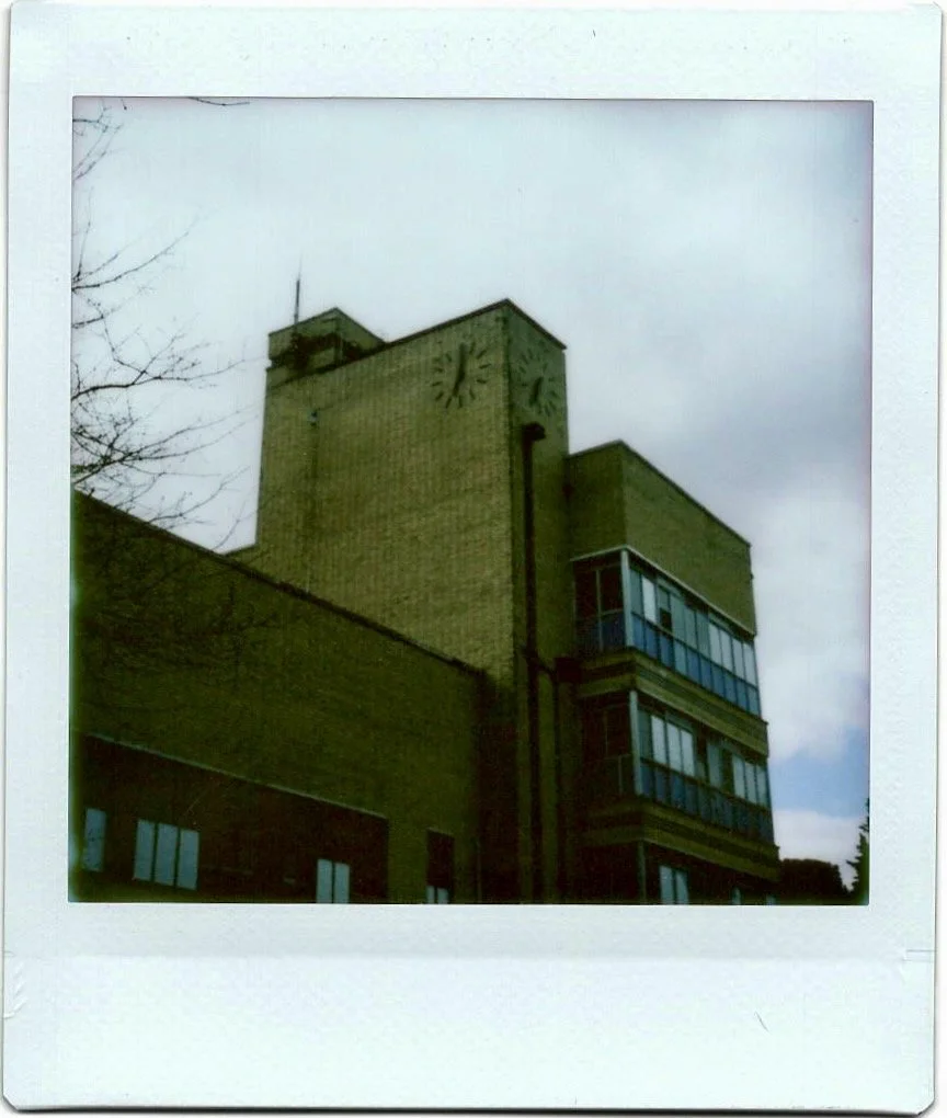
In Warburton I stopped to take a few photos of an older building located at 3475 Warburton Highway. It's clearly a 1930s style building, from the look of it I thought it might be a government or council building, or perhaps a former hospital, it had this practical sense to it. Upon writing this up it seems it was a Weet-Bix factory – 'Sanitarium Health Food factory', the factory closed in the 1990s, and in 2016 it was supposedly under development to become accommodation, but had been hit with delays.
When I stopped and took some photos today there was some evidence of some demolition out the back / side of the property which had been fenced off with temporary fencing and the windows, at least on the first level had been boarded up.
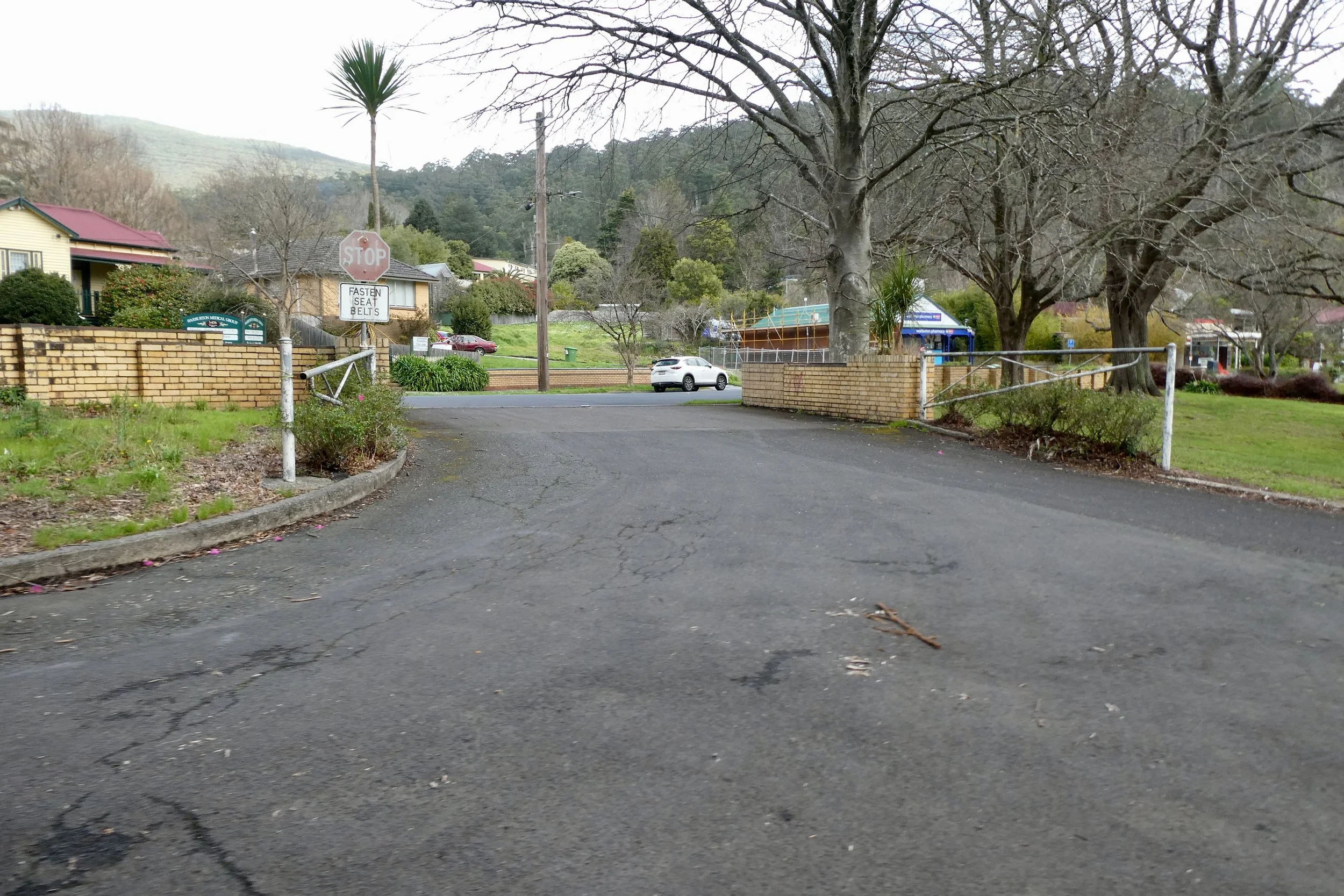
The driveway hadn't been blocked, I could drive in, although I kept to the front area of the building.
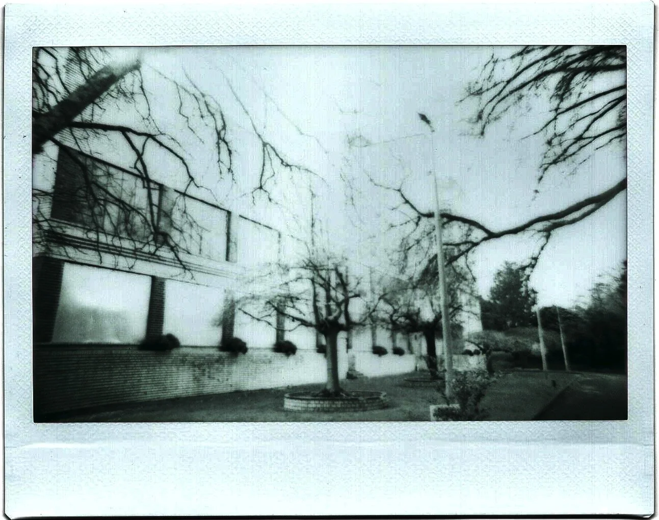
It's got a great many older trees that have been planted out the front and even a garden bench for sitting under the trees. This was why I thought it might be government or medical in history rather than a factory.
I also took some photos with my Instax camera, both the wide one (still loaded with black and white film) and I've also bought a new one which takes square film. I quite like the quality the camera and film gives the images.
