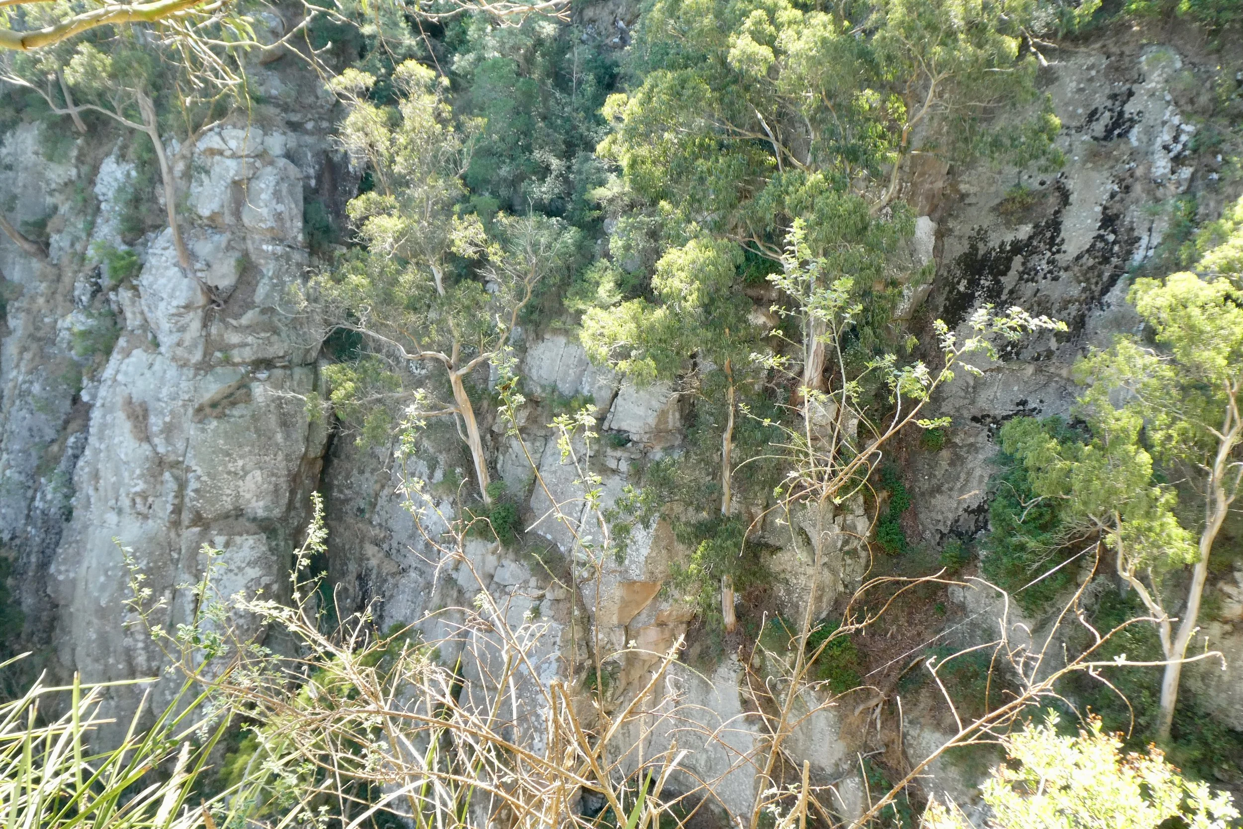
Agnes Falls
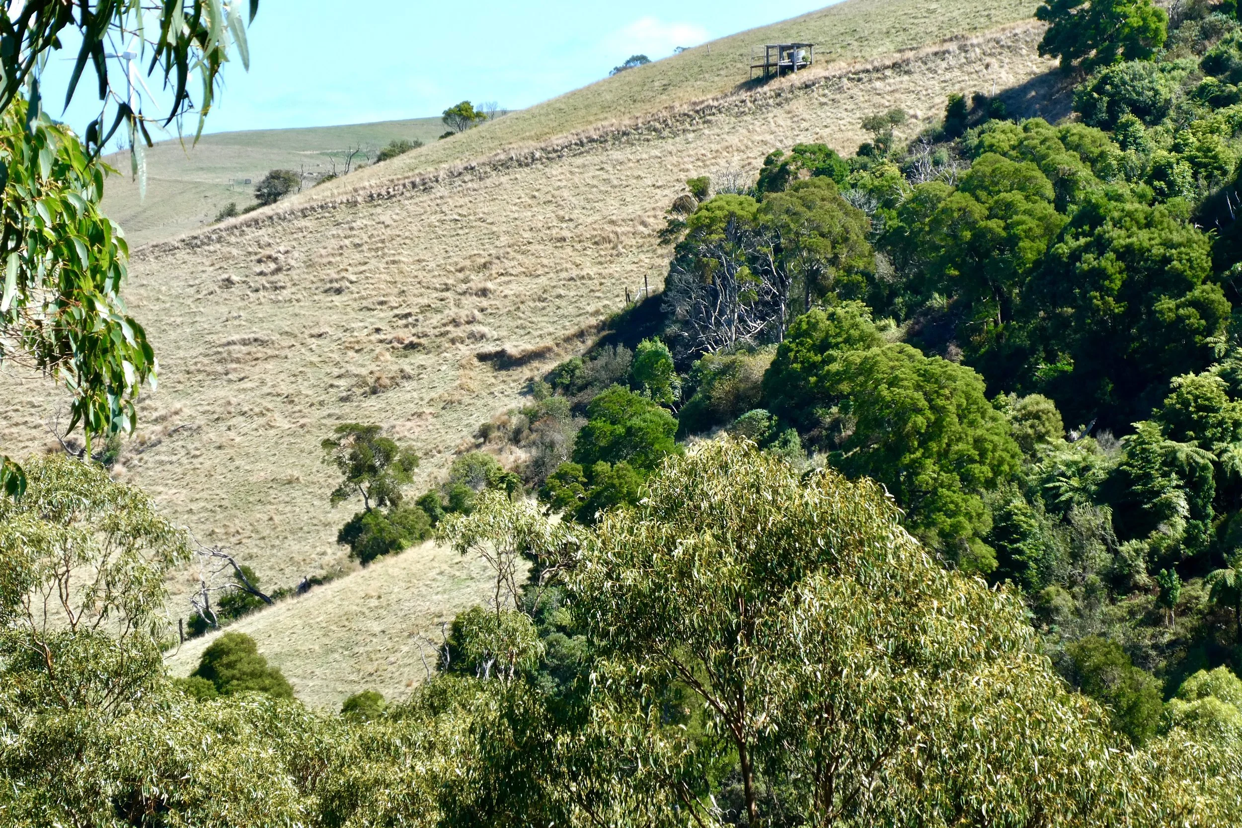
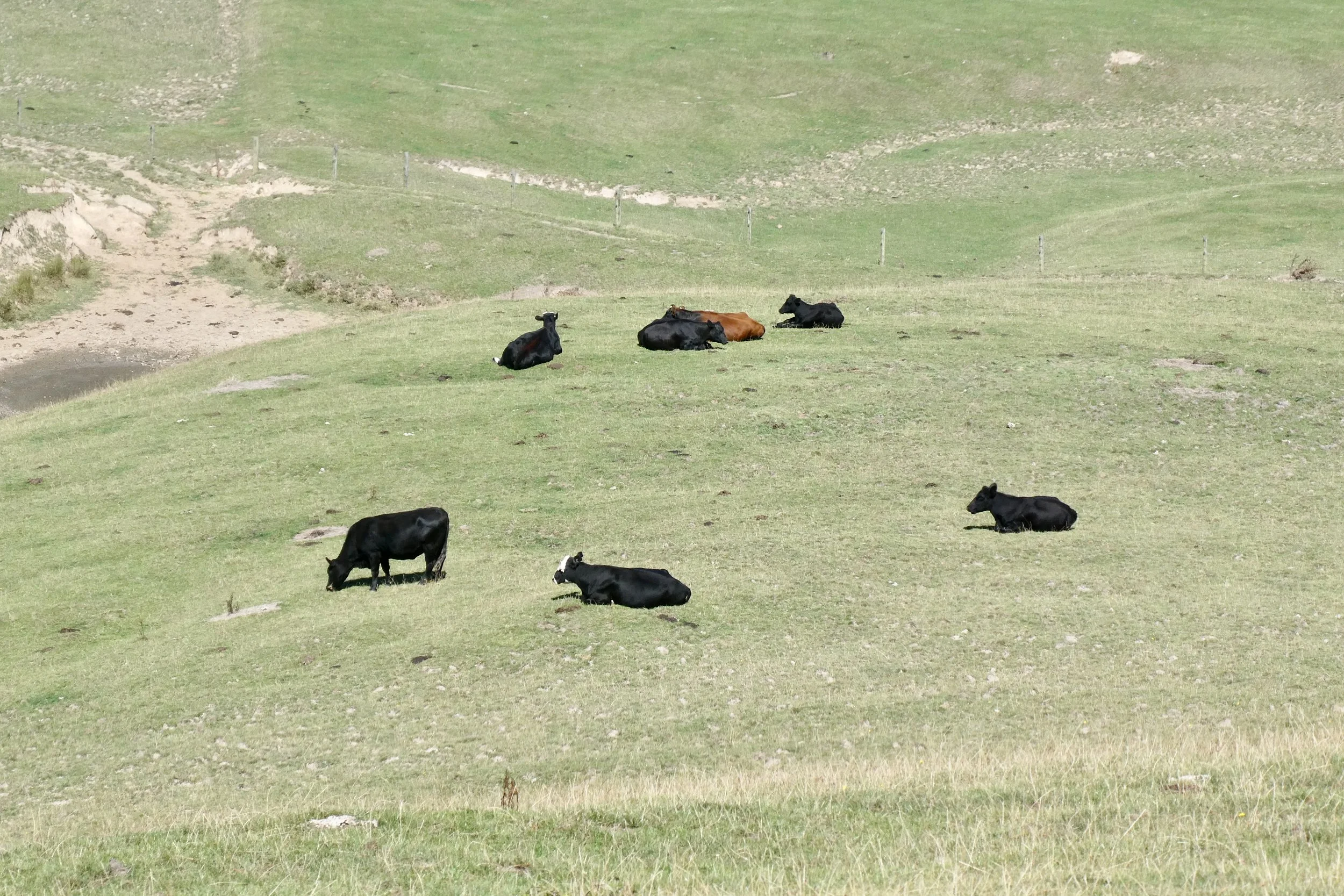
The area around Agnes Falls is grazing and farm land. Around the falls itself it's a small reserve that is probably how the area looked before farming arrived in the area – according to the information sign that was in 1844.
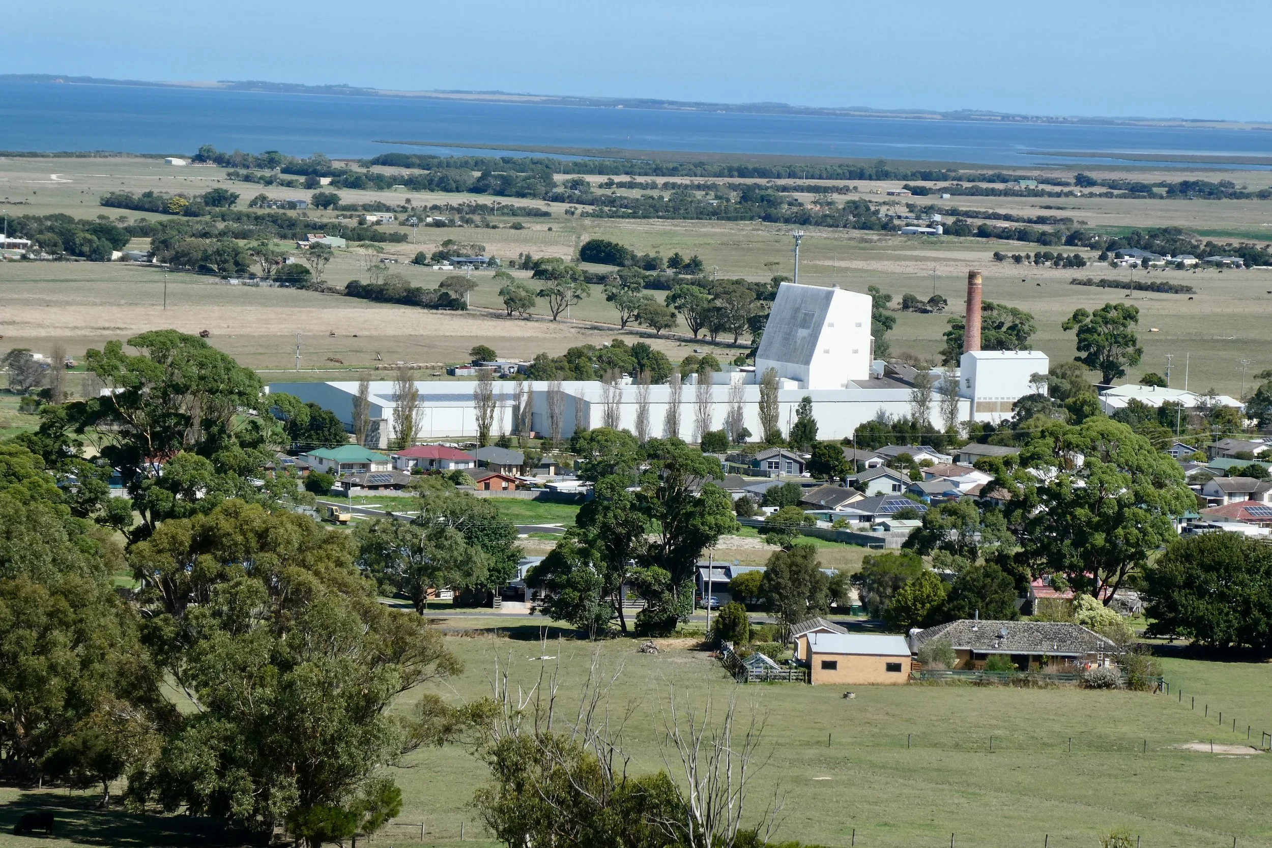
Agnes Falls is closest to the town of Toora, it took me about 2 and a half hours to get out there.
I've been out to this area in the past, to Port Franklin before, so it's nice recognising the road and area as I drove out there.
Agnes River at bottom of falls
Saw one farm that had a field of corn, never seen a full field of corn growing before. Or it could be maize. I'm pretty sure it was some sort of corn-type of thing growing.
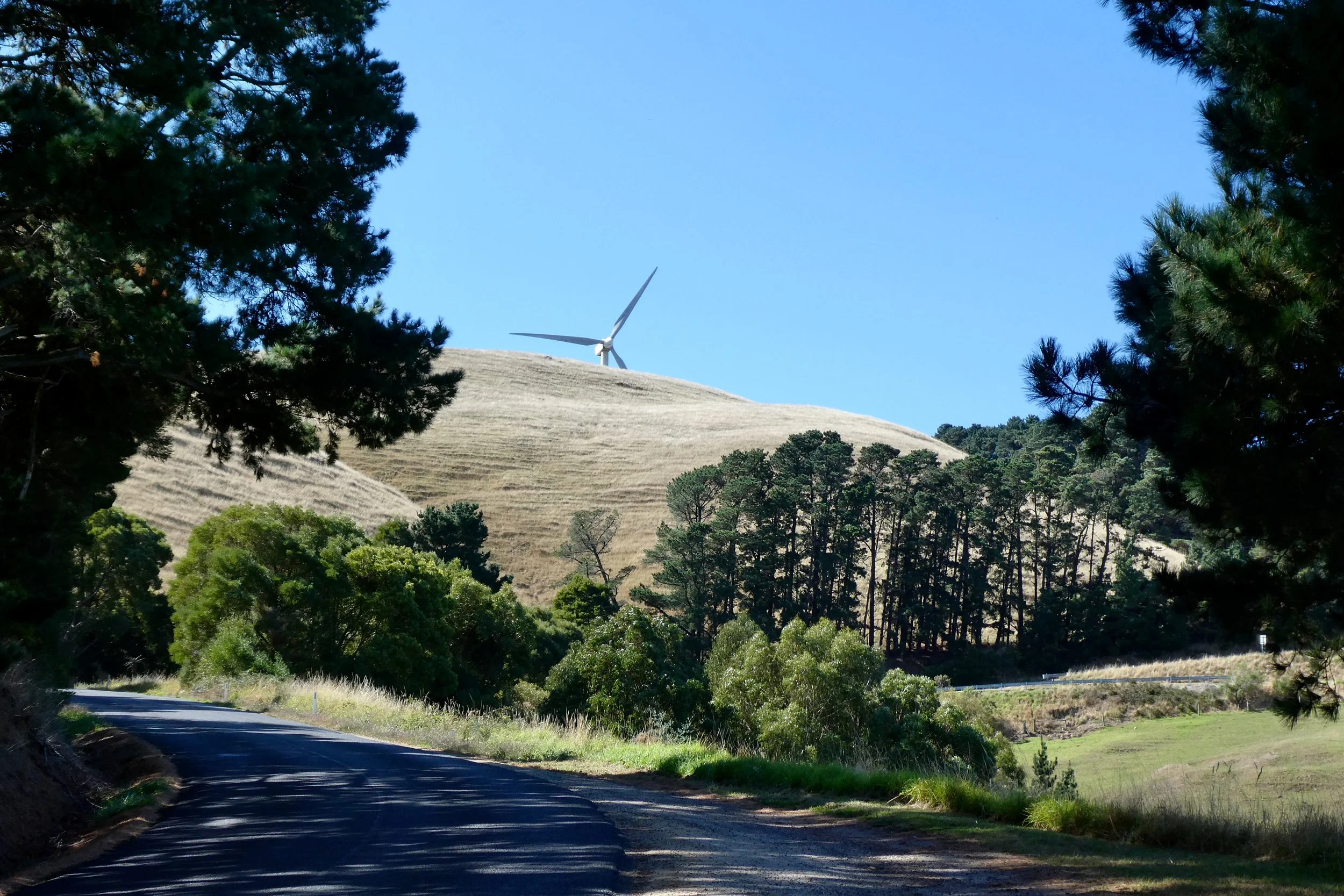
Turning off the South Gippsland Highway towards Agnes Falls takes you past the Toora wind farm. Have seen wind farms in the distance in various places, but this is the closes I've been; driving past them, and they're quite sizeable.
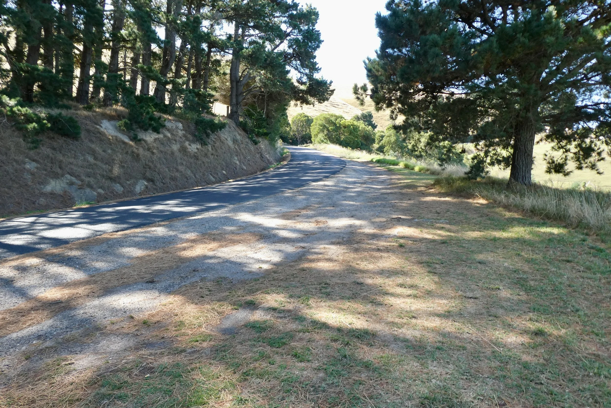
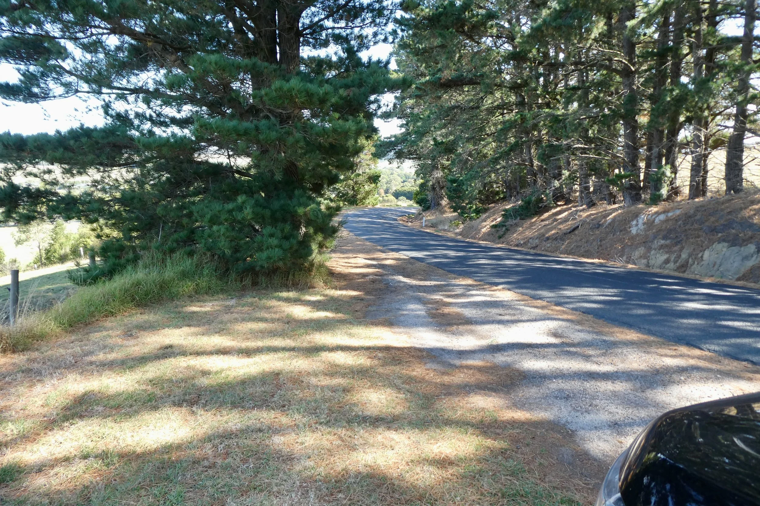
Driving up Silcocks Hill Road, which is decently steep, but it's sealed, in fact all the roads are sealed to Agnes Falls. You turn from Hazel Park Road onto Agnes River Road and then along Agnes Falls Road. Nice and simple naming conventions there.
Agnes River weir
There is a sign as you drive towards Agnes Falls that says something to the affect of 'warning limited space in car park for turning of long vehicles' - basically there's not a lot of room for anyone towing a caravan to turn around / do a U-turn.
The falls themselves are reached by a path that's 220 metres long, there's two viewing areas to look at the falls from.