mountains

Mount Donna Buang

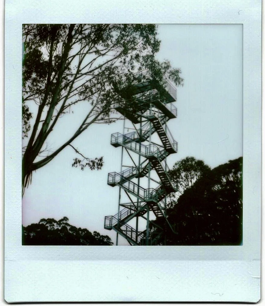
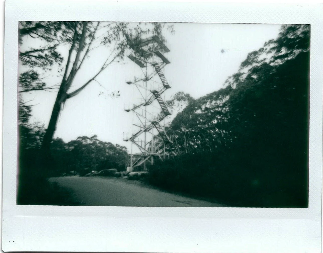
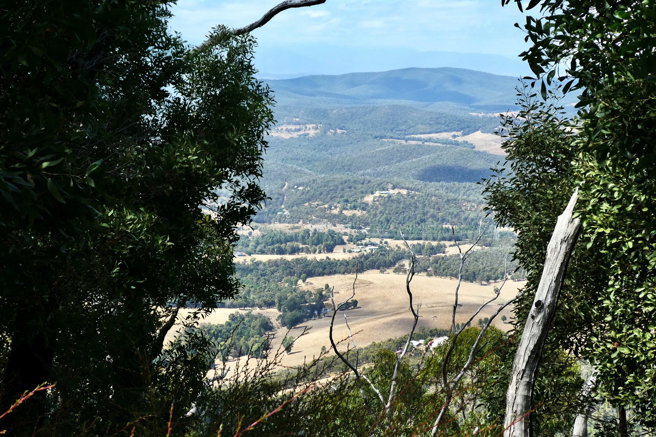
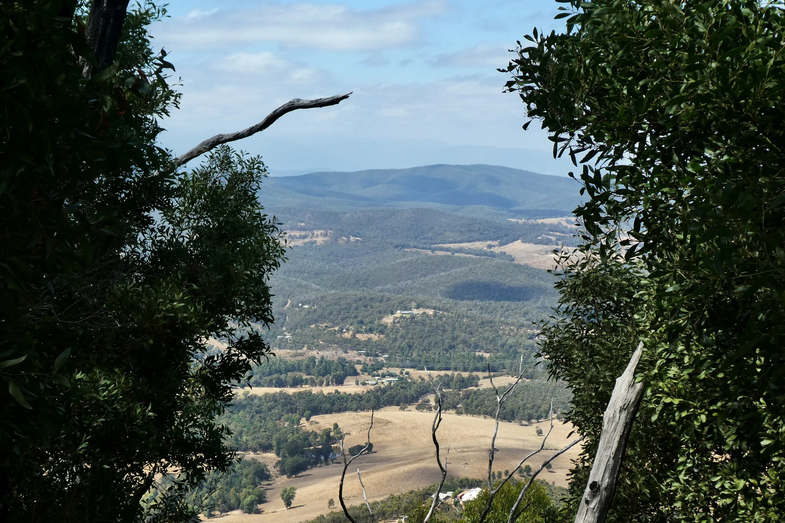
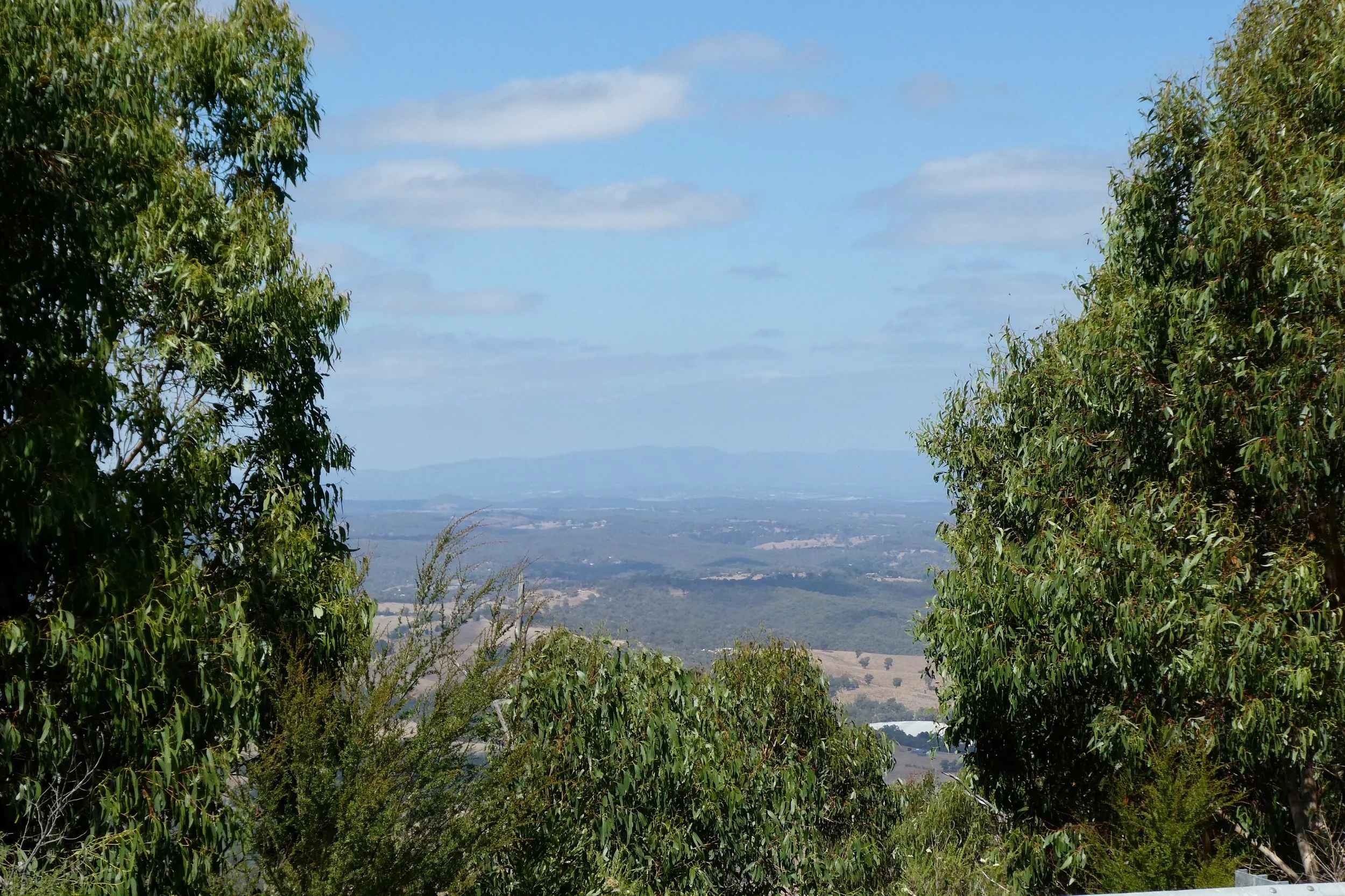
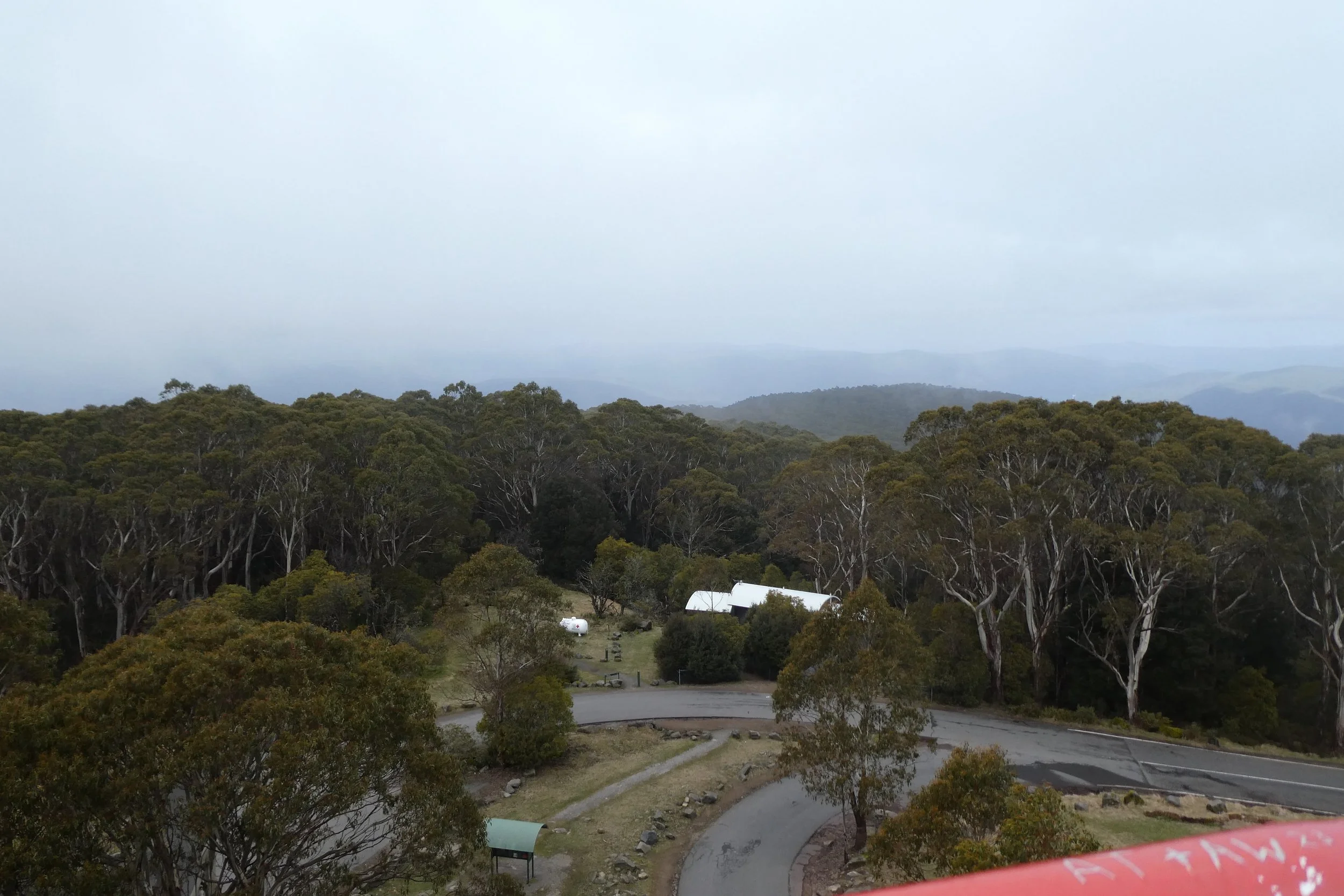
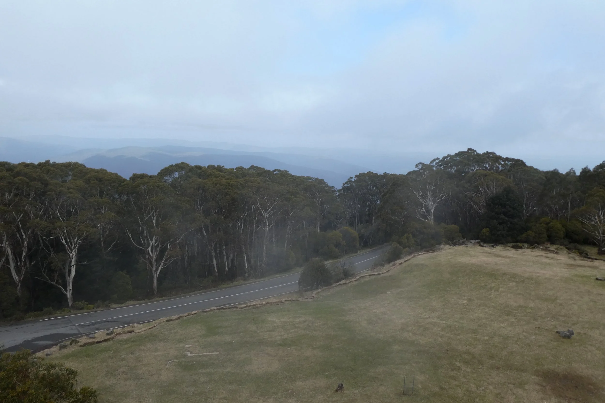
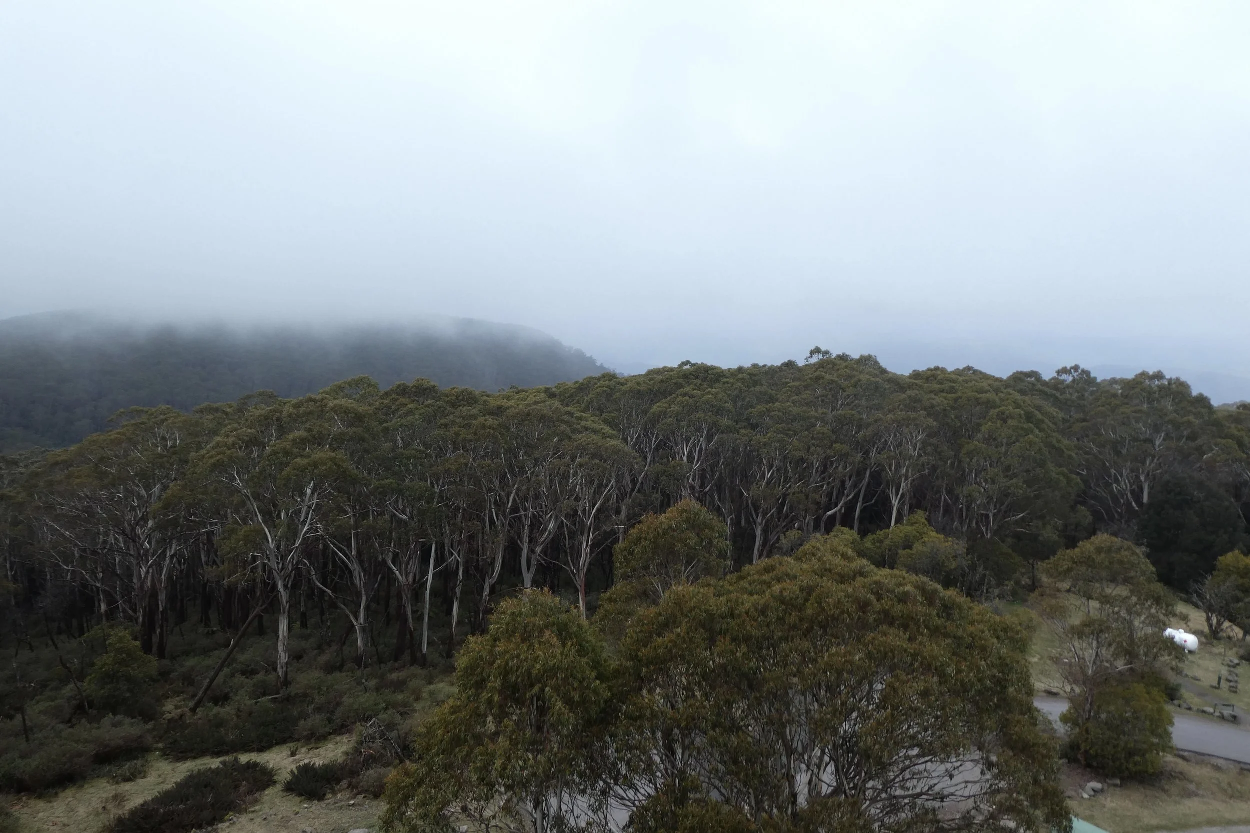
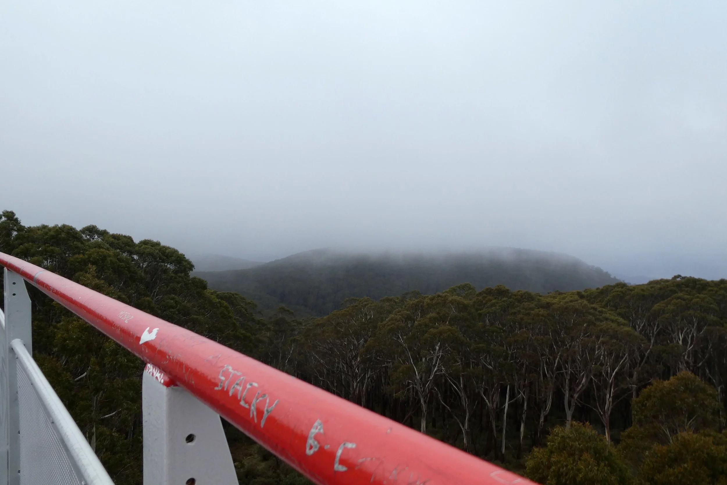
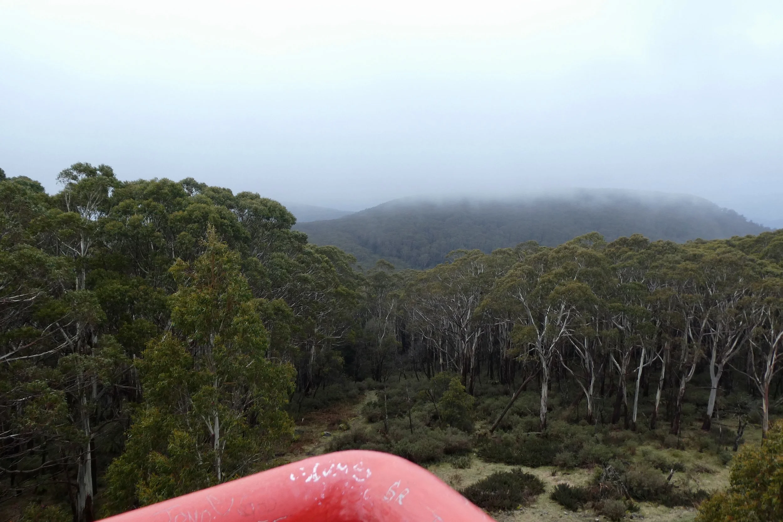
There wasn't much to see from the viewing platform, it being a cloudy day. But it was still bracing to get to the top.

It was a surprisingly easy drive from EastLink to Warburton. Along Canterbury Road for a lot, then York Road into Mount Evelyn, through the slightly awkward roundabout in Wandin North and onto the Warbuton Highway, then it's just on that all the way to its namesake.

It was about 15ºC in Warburton, but as I drove up the road the degrees started to come off the temperature, until when I reached the top it was 5ºC with a decent breeze dropping the temperature even more. 

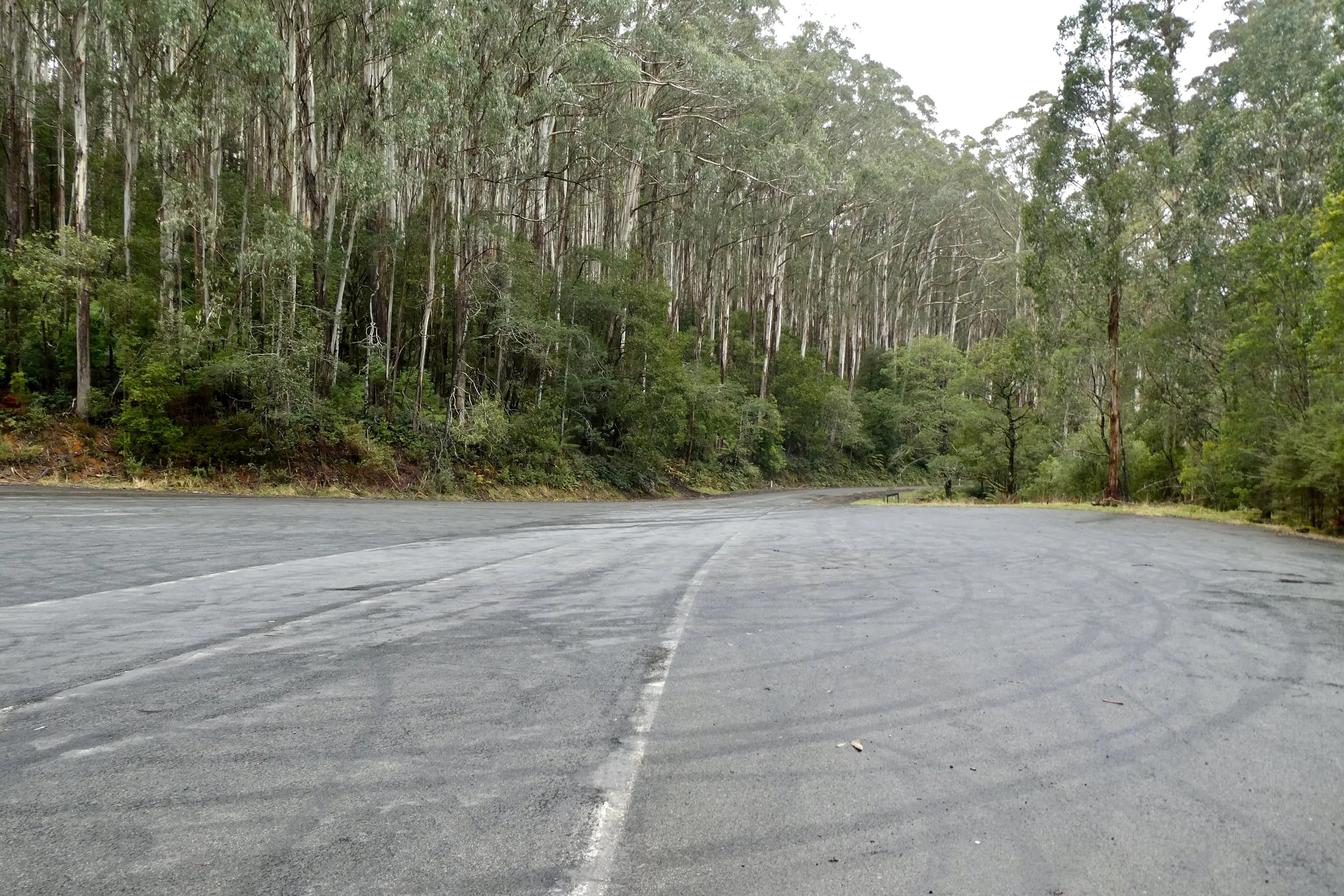
Donna Buang Road is in good condition, about 3/4 of the way up there was road works, it was pretty significant road works as well. It reduced the road to one lane, controlled by traffic lights. It looked like they were rebuilding the road from somewhere at least 5 metres below the surface of the road, as there was a digger at what I assumed was 'ground' level and its arm barely came up to the road surface. Once you turn on to what is listed on Google as 'Rd 2' and is marked as being the road to the summit, the surface remains good, and the speed limit is 80 kilometres (as is most of Donna Buang Road), however some sticks that had fallen onto the road, nothing huge, but you'd certainly notice it in a non-4x4 type of vehicle. Given there was no traffic it was easily avoided.

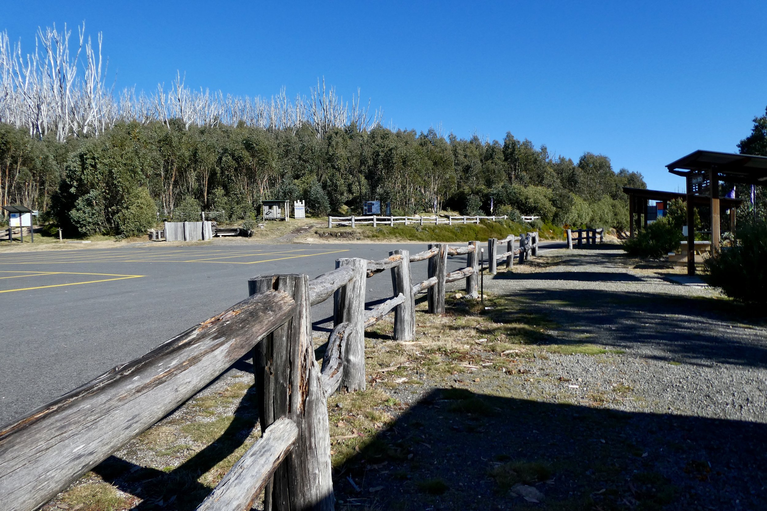
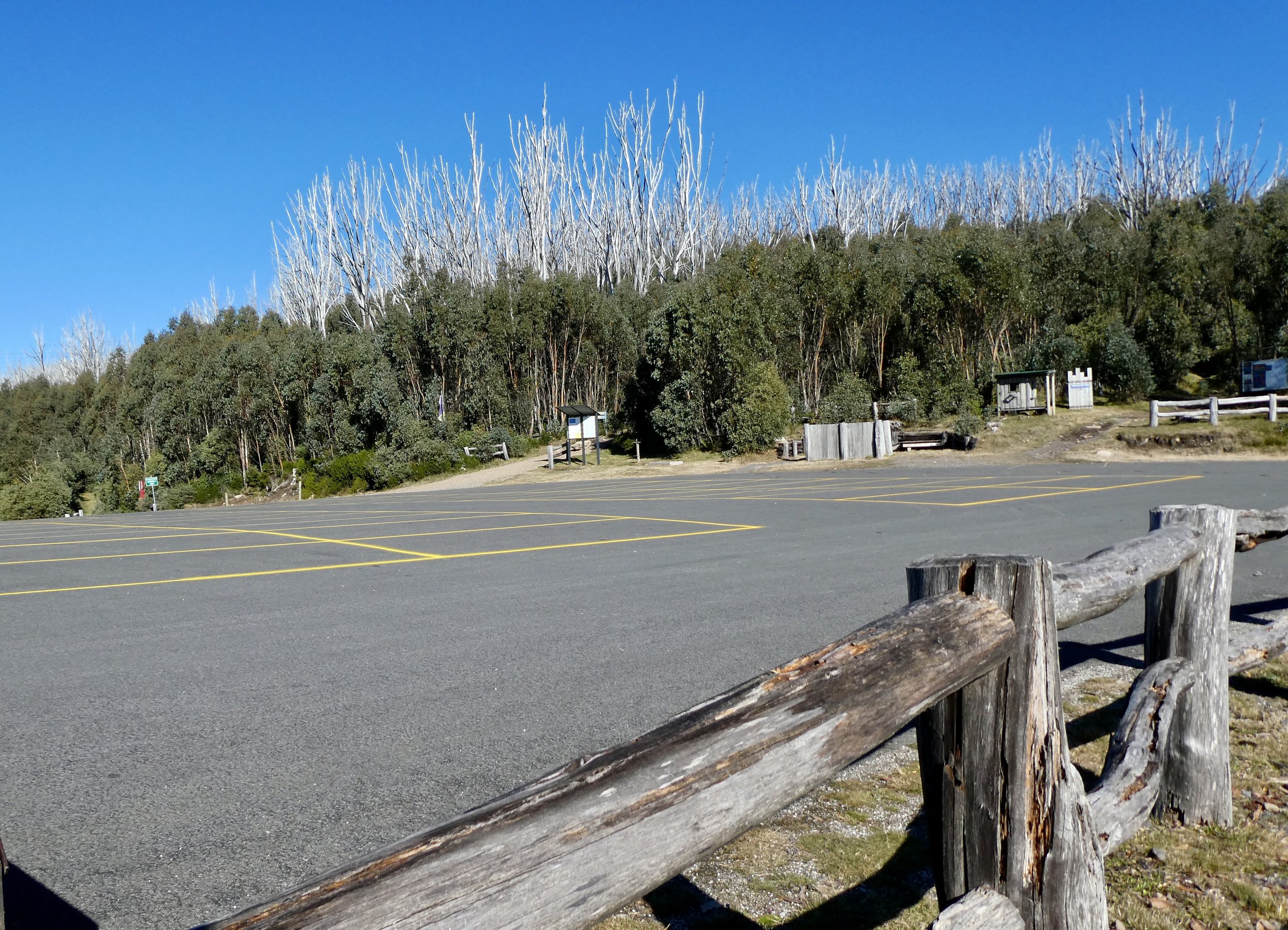
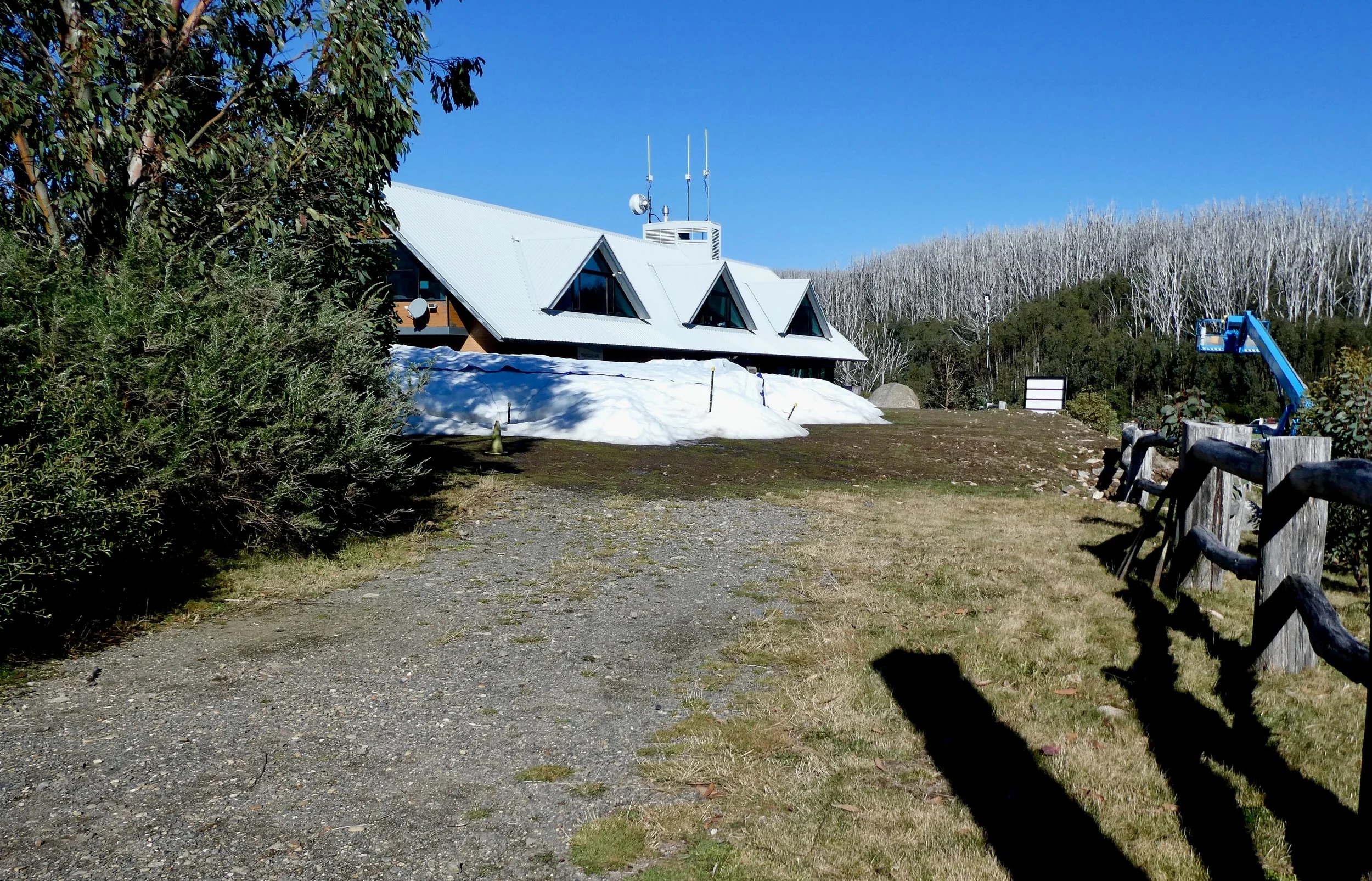
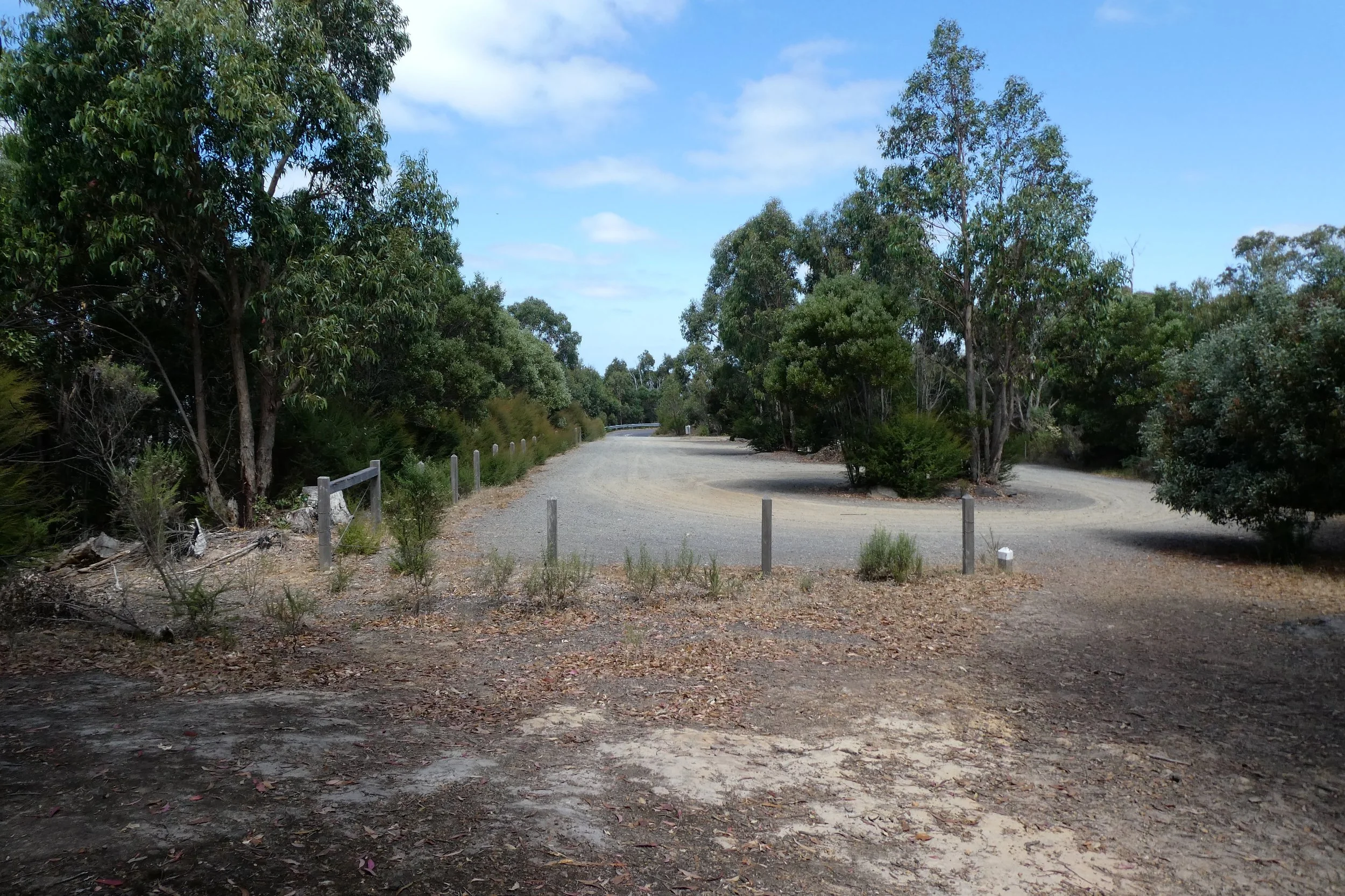
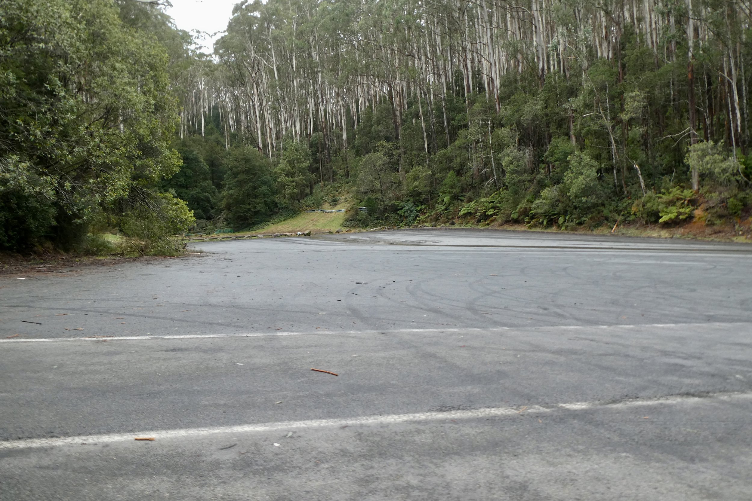
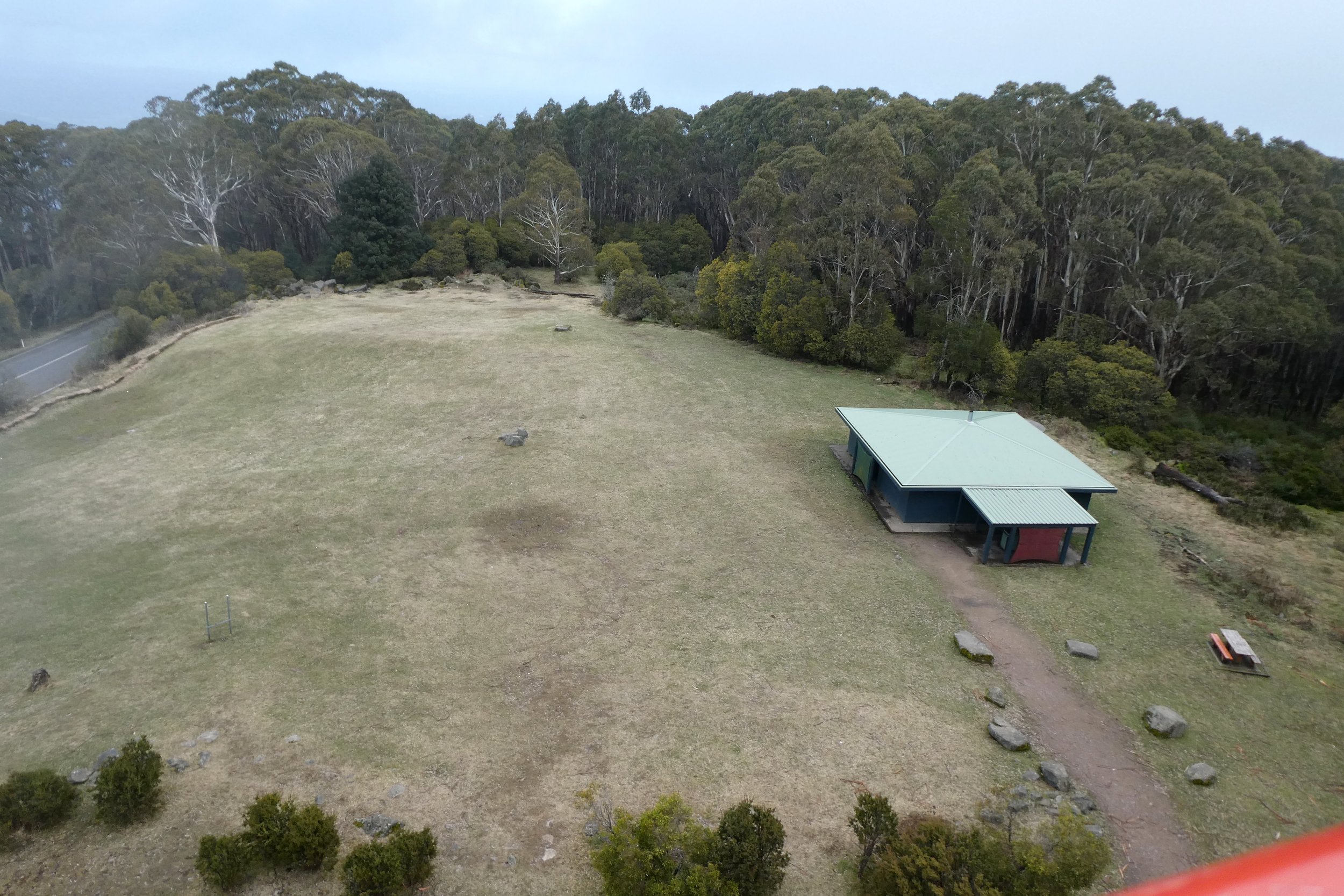
About half way up the road there was a huge parking area, and a toilet block.

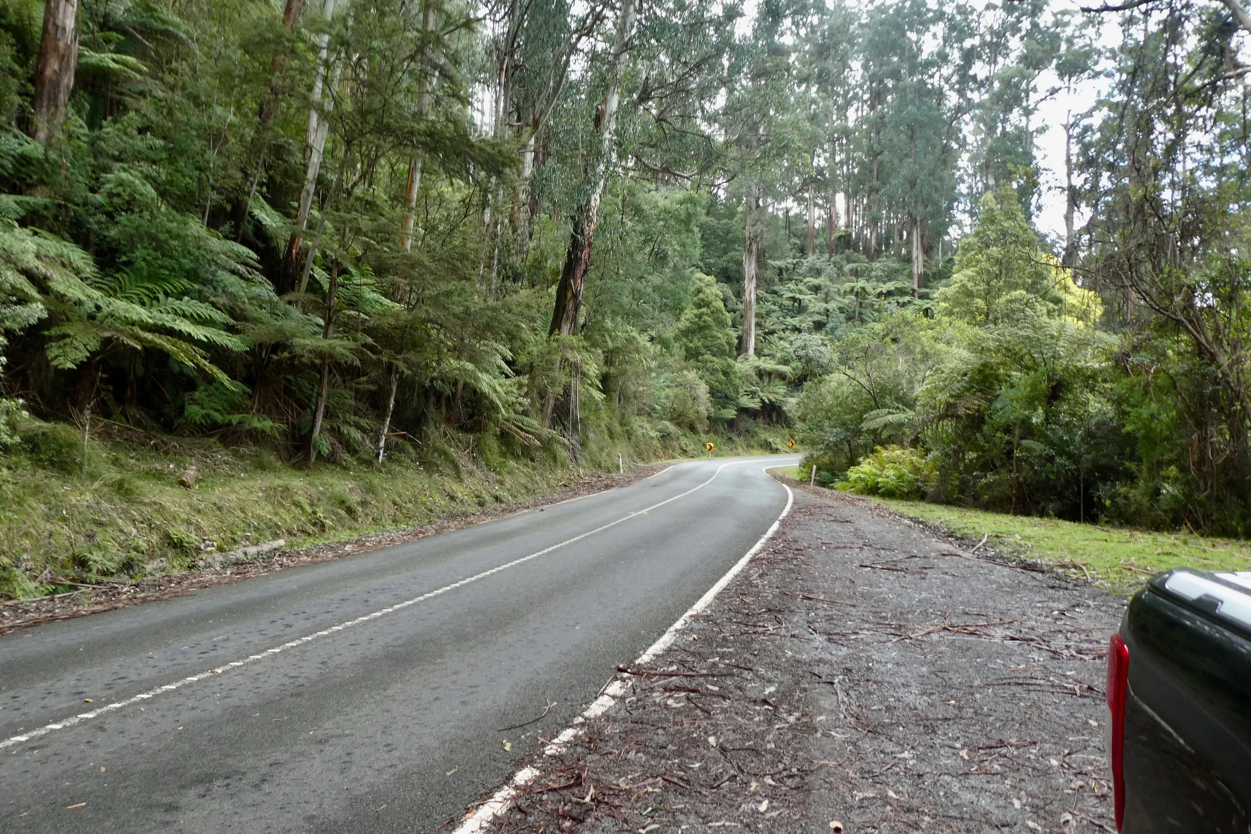
After that it's a short drive up to the lookout itself. 

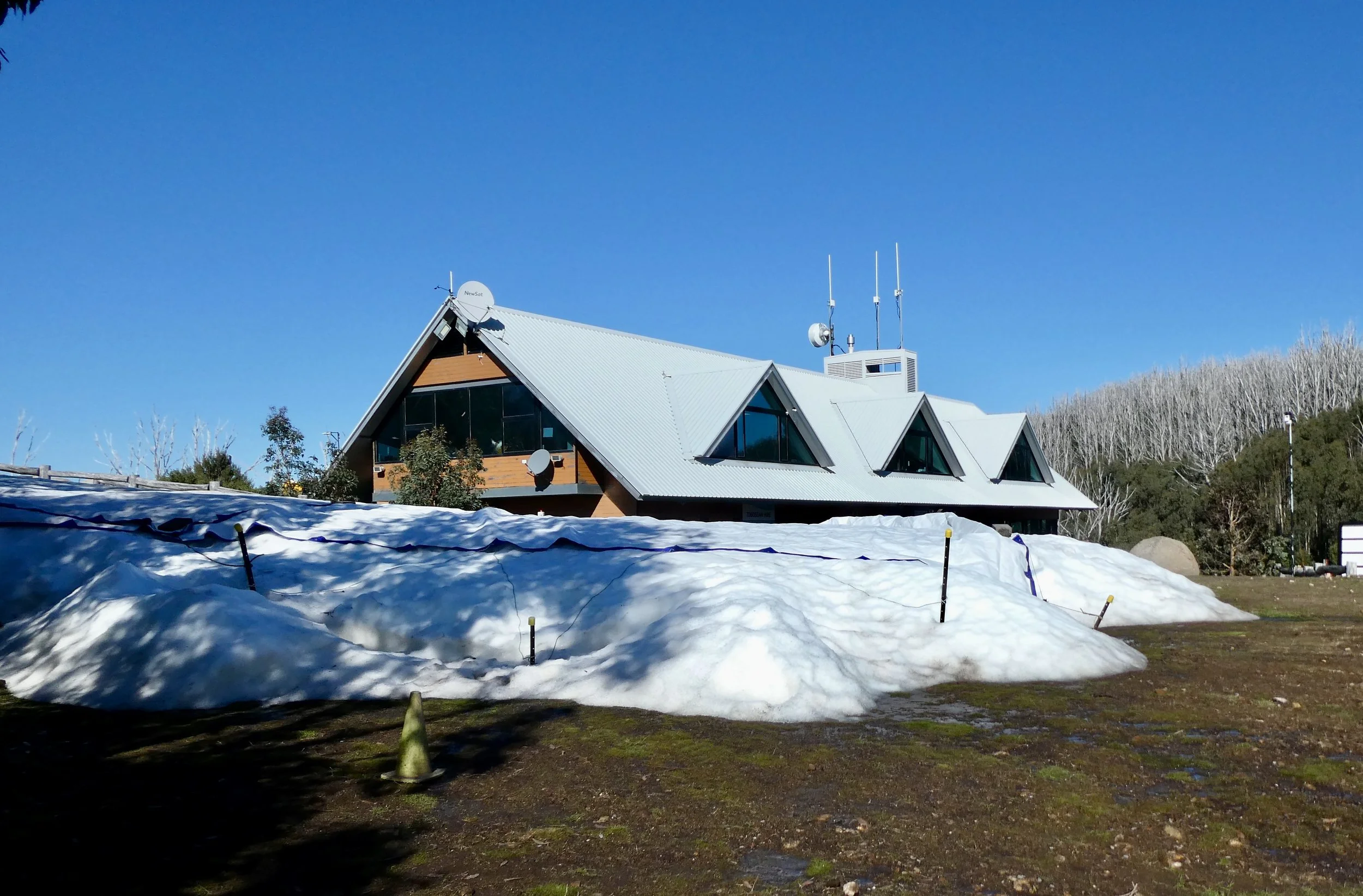
The lookout is a set of stairs up to where you can (presumedly) see the view all around the mountain. Unfortunately today was cloudy, although it still afforded a bracing view.

The climb up was easy enough, although the wind and temperature at the top was quite brisk.

I met some cyclists at the bottom of the lookout, they'd cycled all the way up there, I took their photo for them holding their bikes in front of the sign. According to Wikipedia it's a challenging route averaging 6.2% climb over 16.6 kilometres.

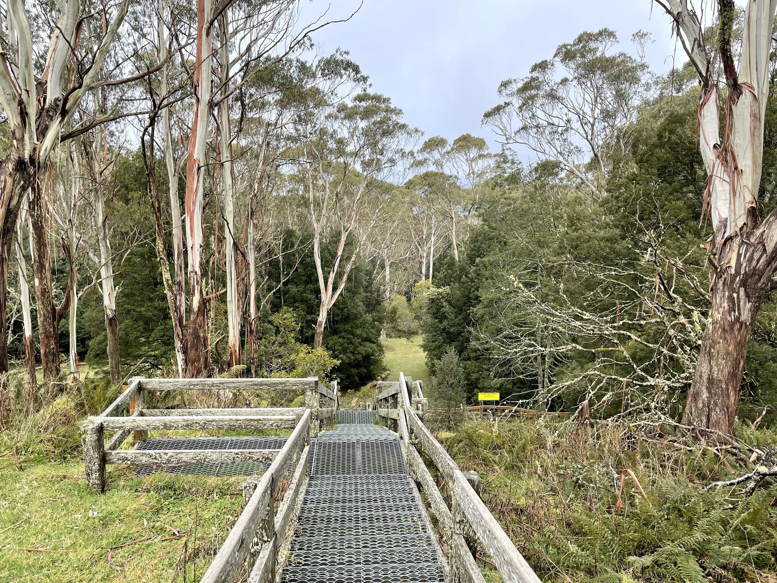
I had a little bit of a wander around, there's a toilet block up there, with a large LPG tank beside it, I wonder for hot water for the toilets? I walked and nearly tripped down the stairs that led to the (closed) toboggan run. The stairs' treads are very shallow, not sure if that's so if they're covered in snow they're easier to transverse, but I elected not to explore them further.

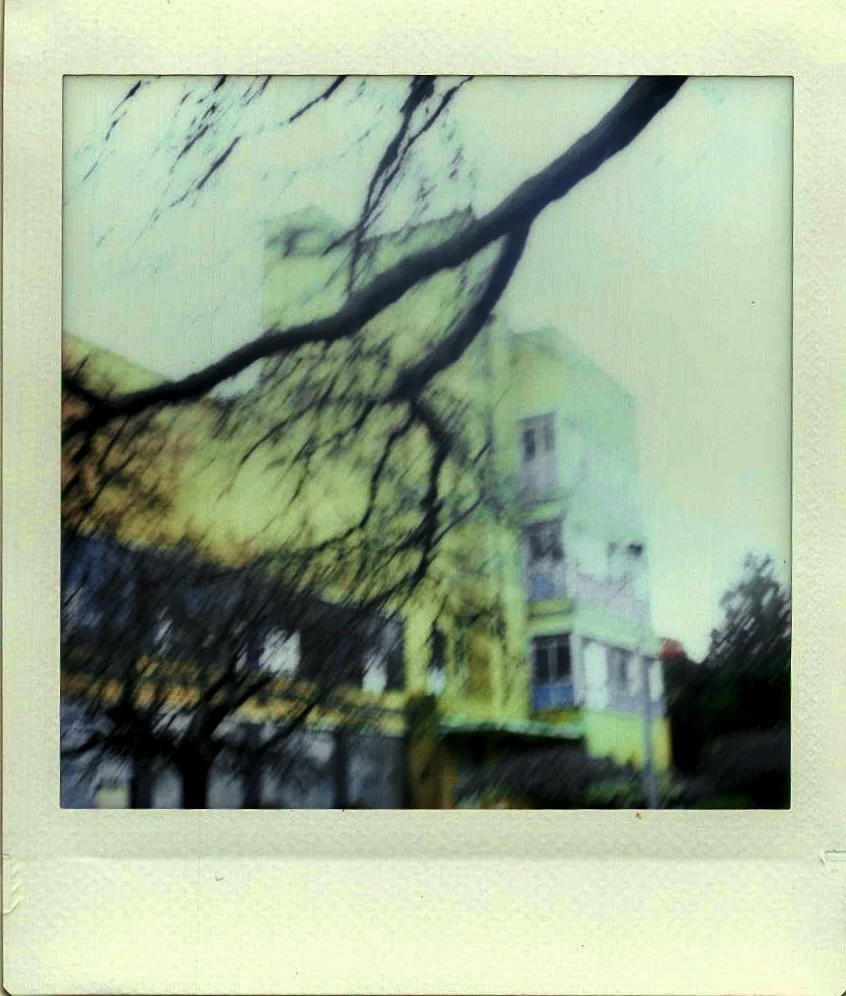
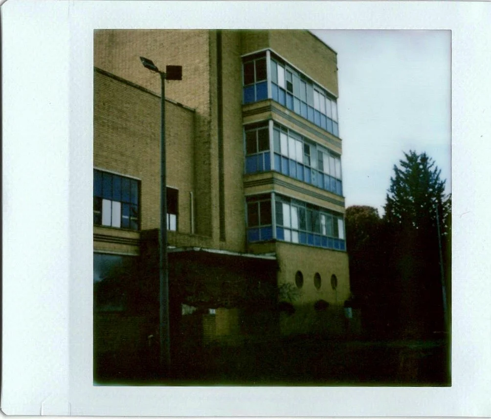
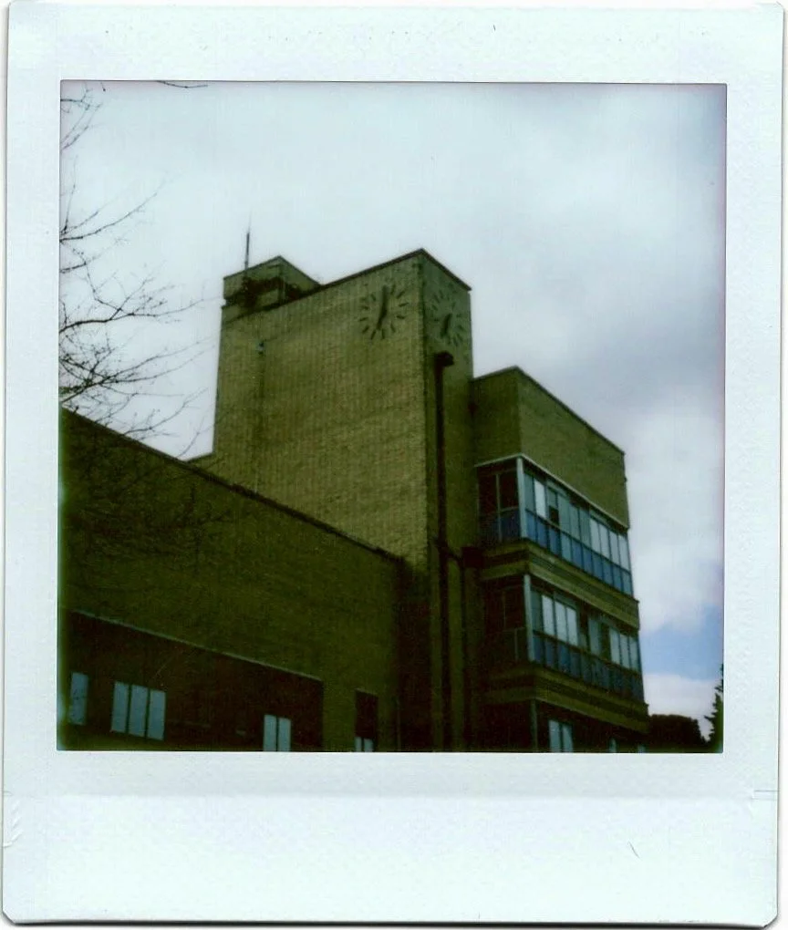
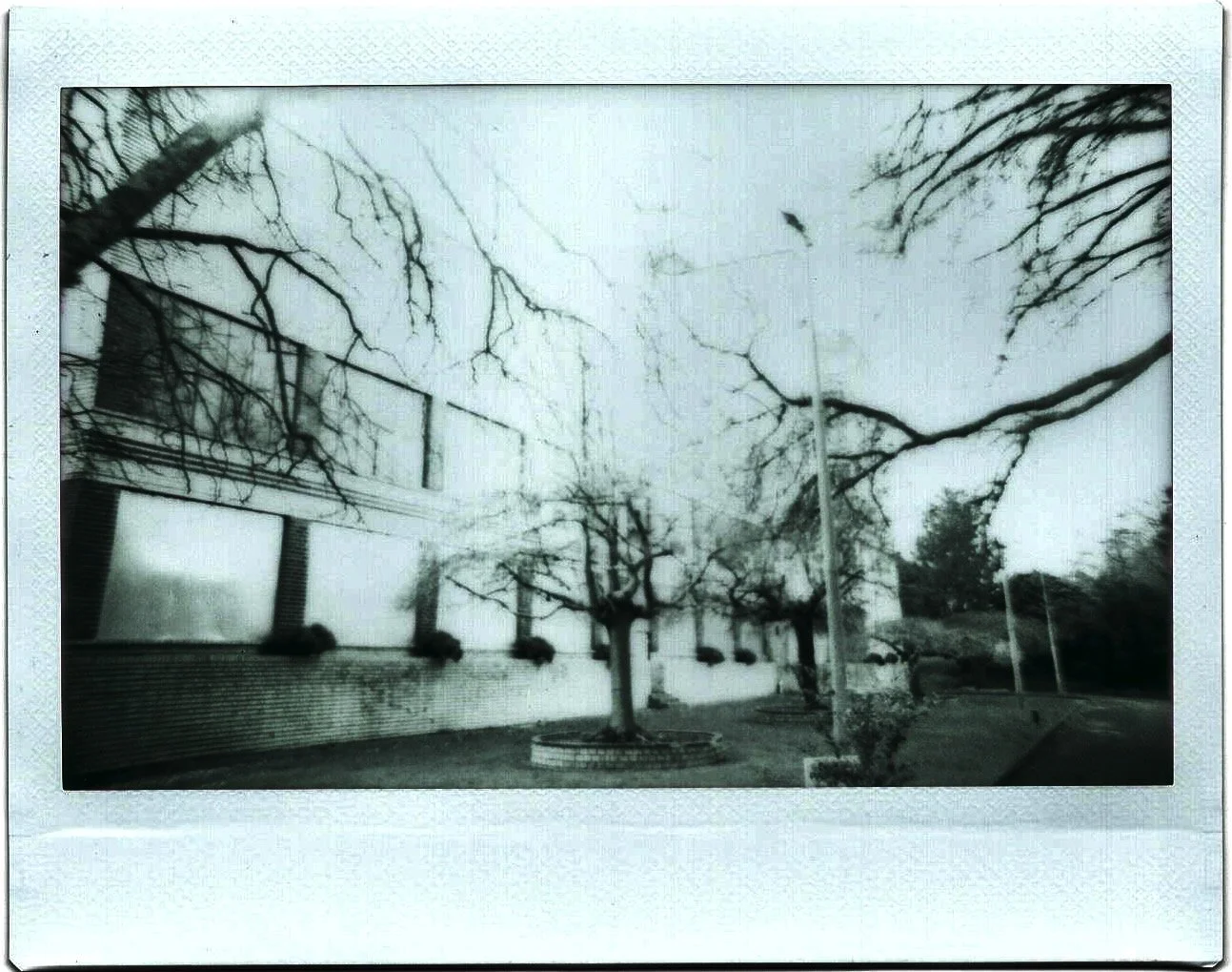
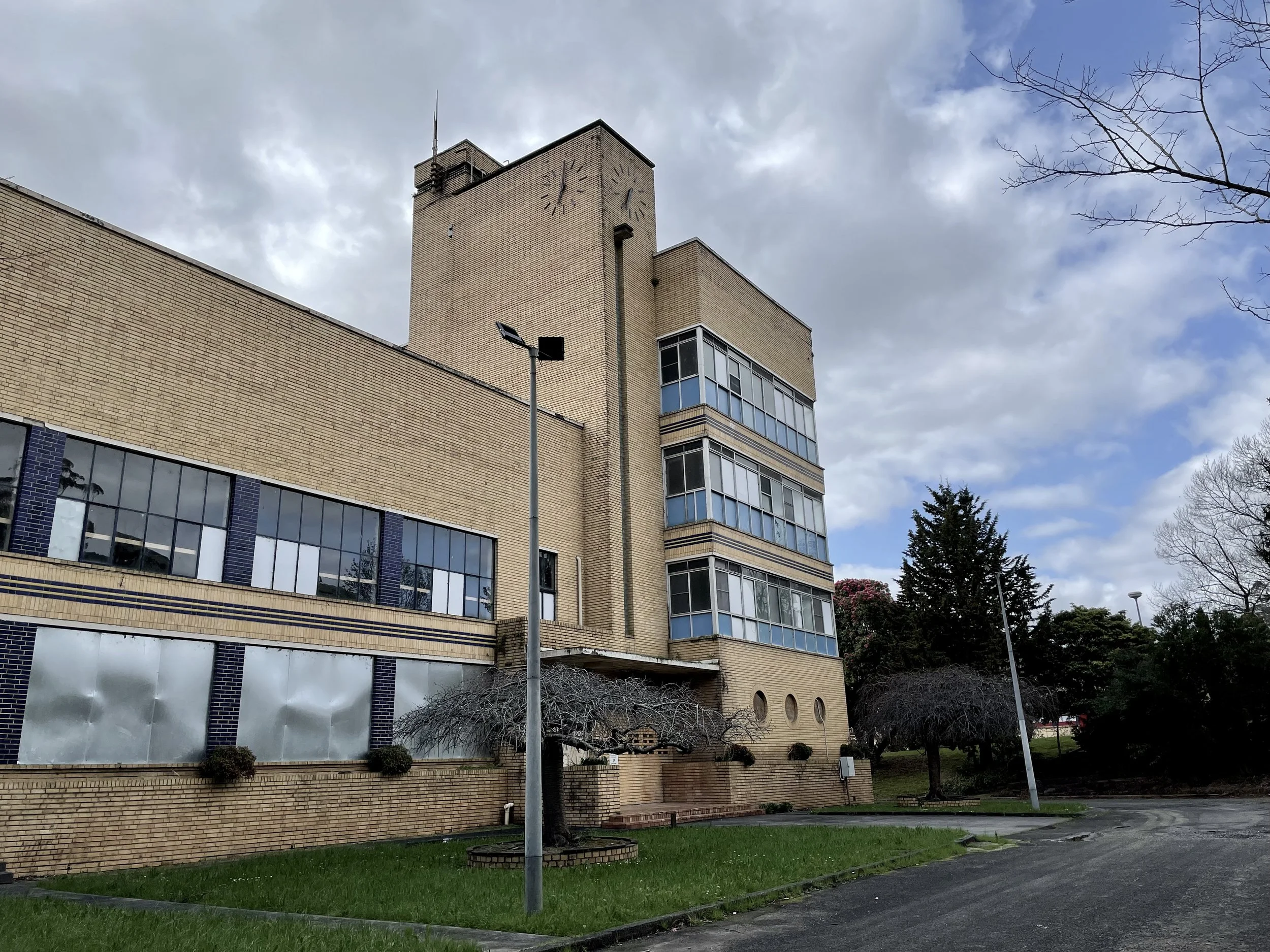
In Warburton I stopped to take a few photos of an older building located at 3475 Warburton Highway. It's clearly a 1930s style building, from the look of it I thought it might be a government or council building, or perhaps a former hospital, it had this practical sense to it. Upon writing this up it seems it was a Weet-Bix factory – 'Sanitarium Health Food factory', the factory closed in the 1990s, and in 2016 it was supposedly under development to become accommodation, but had been hit with delays.

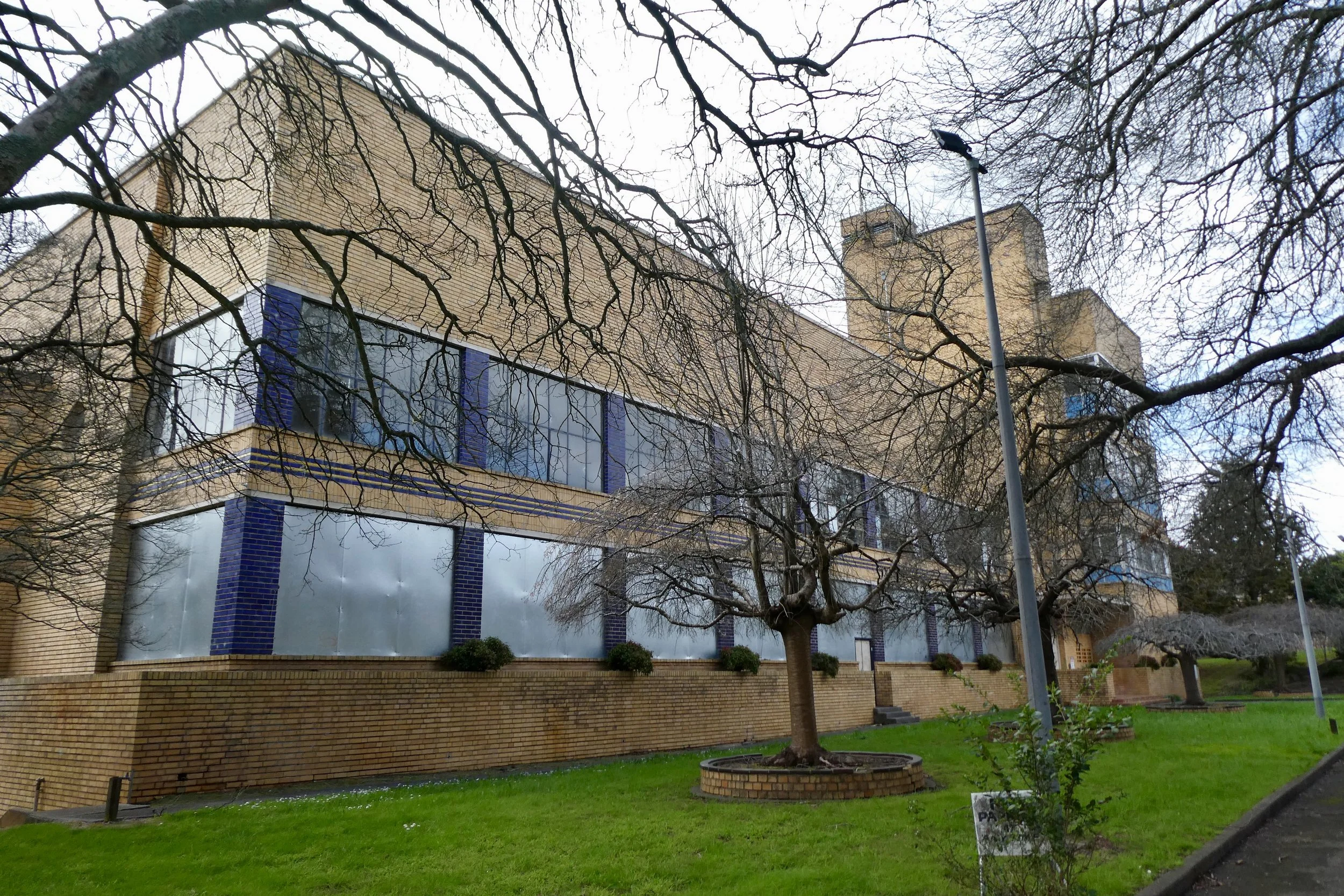
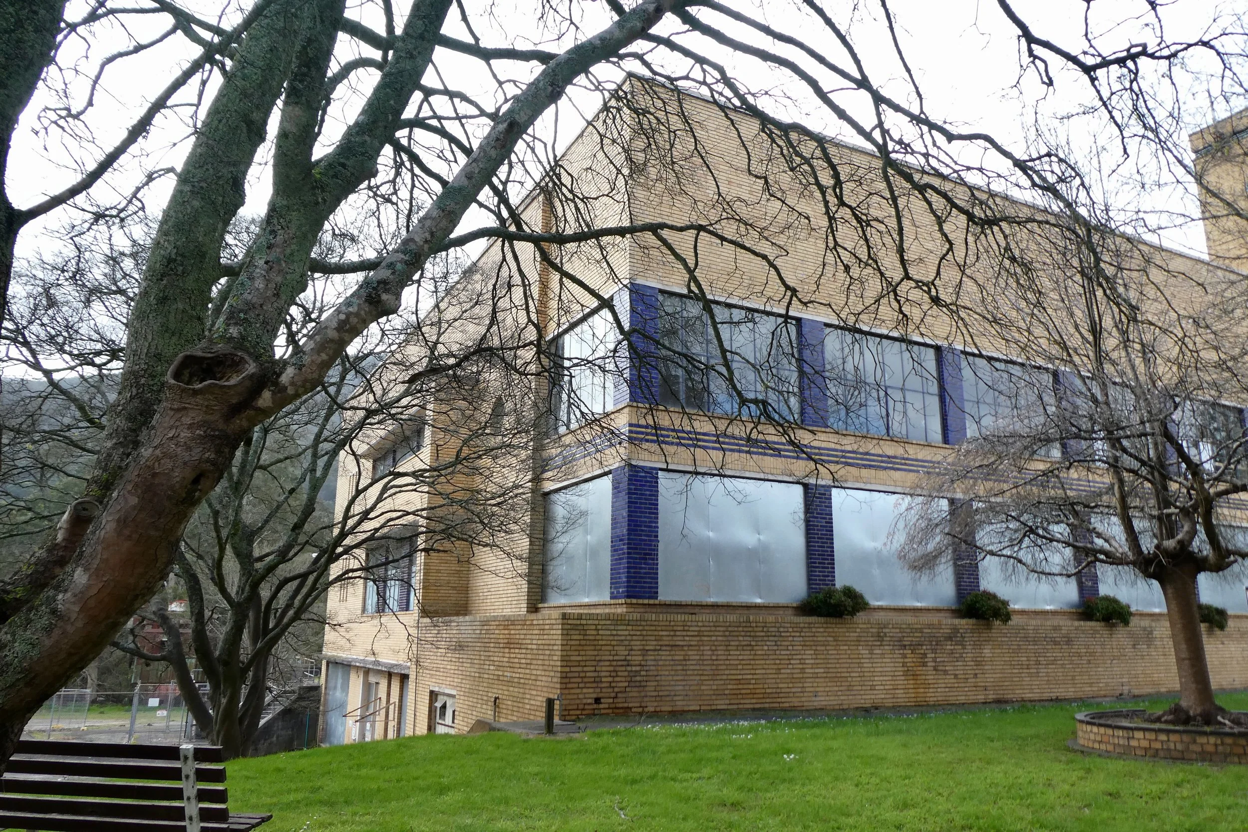
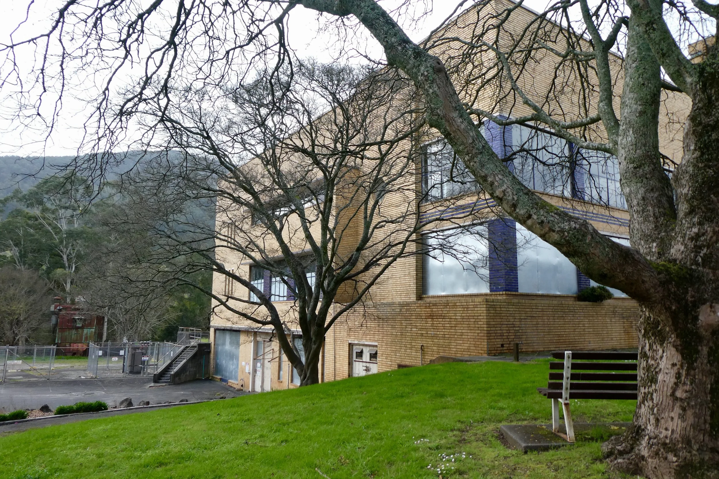
When I stopped and took some photos today there was some evidence of some demolition out the back / side of the property which had been fenced off with temporary fencing and the windows, at least on the first level had been boarded up. 

The driveway hadn't been blocked, I could drive in, although I kept to the front area of the building.

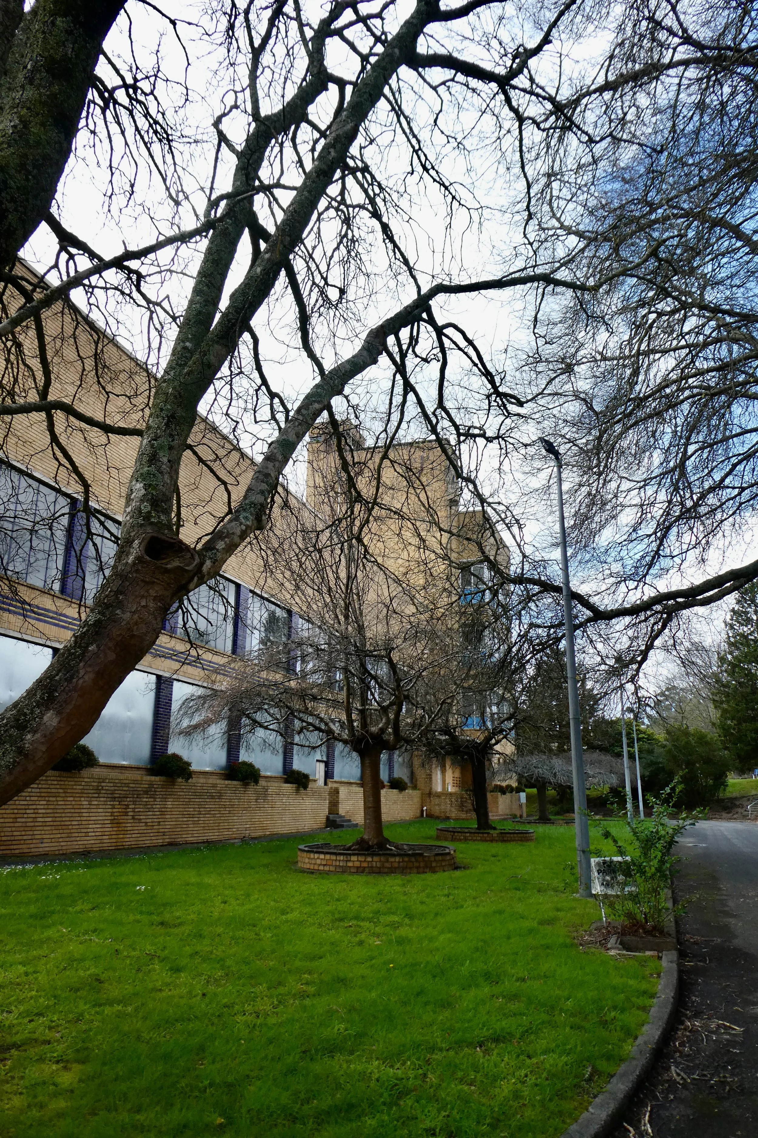
It's got a great many older trees that have been planted out the front and even a garden bench for sitting under the trees. This was why I thought it might be government or medical in history rather than a factory. 

I also took some photos with my Instax camera, both the wide one (still loaded with black and white film) and I've also bought a new one which takes square film. I quite like the quality the camera and film gives the images.

Lake Mountain

I had been meaning to go and have a look at Lake Mountain for some time. I've never been up there. As a kid when we 'went to the snow' as a family it was to Mount Baw Baw. 

I saw the forecast last week for this week, and today the weather was clear of rain; sunny and 8ºC, the following day would be cloudy, so knew as we're heading towards winter that I'd want to take the opportunity to go and have a look before the roads closed to general traffic. 

I know I could go in the winter, but then I'd need to carry snow chains and pay an entry fee, plus I didn't actually want to do any on-mountain stuff, mostly I wanted it as a destination to explore the roads and landscape there, and have a little bit of a wander.

I always consider the odd cut off when travelling on the Maroondah Highway between the suburbs and the countryside that is Lillydale and the turn off for the Warburton Highway. Once you go over that hill and you're on the other side there's little indication that there's a bustling suburb behind you.

Then it's a journey through farmland and lots of wineries, I passed one that had a helicopter parked in the front grounds.

Selover's Lookout, Healesville

And given the architecture of many of these wineries, these aren't cheap wines. Or maybe they are inexpensive wines that just have lots of throughput? I doubt it, there was some with quite fancy exterior architecture. One that looked like a long semi-circular building. Not unlike a Nissen hut or an airship hangar, although super fancy and architecturally designed, rather than utilitarian.  

The Maroondah Highway (B360) between Healesville and Narbethong is awesome, some majestic driving roads that work its way through rainforest. Towering eucalyptus trees and ferns thick on both sides of the road. And it's 80 km along all of this, which to be completely honest is about the maximum I was comfortable doing in my Ford Ranger ute. On the way up I might've been able to do that except I was stuck behind a nervous (new) MG driver who seemed to panic brake at every corner, on the way back down I felt like I was cooking my brakes a bit to stay under 80 km.

You then turn off onto the B512 Marysville Road heading for Marysville, which somewhat surprisingly is 100 km. On the way there I think it would have been a good drive, but I was still stuck behind the nervous MG driver, and they stuck at about 97 km; not quite low enough for me to overtake, especially on unfamiliar roads.

A decent amount of elevation changes, enough that I was yawning / swallowing to clear my ears a bit.

I'd never been to Marysville before the Black Saturday bushfires, so had nothing to really frame my view of the town. There's numerous new buildings, but a surprisingly amount of older plants that are still growing around the town.

Thinking of plants, that's one thing I love doing drives and road trips in autumn, all the European trees are full of autumnal colours; deep oranges and reds, and the streets full of leaves. It's majestic, but must annoy some people / the council needing to clear all these leaves up.

Lake Mountain Road and Marysville Woods Point Road

Continuing through Marysville and onto the C512 Marysville-Woods Point Road, the sunlight was very dappled as I drove along the road. 

Lake Mountain Road, start

When you reach the turn off for Lake Mountain Road which continues to be the C512, you know it immediately because the road lines change from white to yellow. 

There's a gate at the start of the road, and the speed limit is 80 km.

Immediately I thought 'that's a lot' as the road starts out very narrow, it's still wide enough for two lanes, but just, you wouldn't want to be cars towing something passing at a few points along this road. The road does widen up a little bit more beyond these first couple of narrow corners. 

Start of Lake Mountain Road

After the entrance / ticket box (only manned during winter) there's a couple of parking spots along the way up to the top of Lake Mountain.

Annoyingly Wikipedia is conflicted about the name of Lake Mountain, it might be named for George Lake, the surveyor-general of the area, although this is un-cited, or because of the "tarns, ponds and bogs near the summit", which is at least cited, but only with one citation, and according to the citation it's a reference from one book, itself was published in 2003. It's not available online, but I still have my doubts about it. Mostly as there isn't really anywhere for there to be a decent body of water on Lake Mountain. And if it was a tarn, pond or bog, wouldn't "Boggy Mountain" have been a better moniker? 

Lake Mountain map

Everywhere states basically the same thing "There is no lake on Lake Mountain, instead it was named for George Lake, who was surveyor general at the time." In some brief research it seems a lot of sites state something to this affect, a lot of them word-for-word. Which is odd, there also doesn't seem to be a good reference for George Lake, I feel like this is going to be a separate research topic to look into.

Driving up to the base of the Lake Mountain Alpine Resort there is a cafe and there are some activities on going during the non-winter periods. There were some flying fox / zip-line activities I could see from the car park, and there were some people doing some sort of ride along on an inflatable tube.

I indulged in neither of these things, nor did I investigate the cafe. 

The journey, the road trip, driving etc is the more important, more enlightening part, that the destination for me. Driving gives me time to consider the landscape, time to ponder in my head, to enjoy the distance, and think about spaces in between.

All that said, I did have a little bit of a wander. Despite it being 8ºC outside, and a little bit of a breeze which I did feel somewhat on my legs, the sun was out and I was wearing a...autumnal-thickness jacket over a t-shirt, along with a scarf I felt was enough. With the sun out it was quite pleasant. 

Walking around I saw the operators at Lake Mountain have been collecting any of the snow that has been falling and piling it up, it was mostly covered in white tarps. I guess any snow that falls they collect and save for the snow season, any snow they don't need to wait for / make is money / time saved.

Having seen some snow and not feeling like I wanted to indulge in any of the activities on offer, I returned to my ute and began my journey home.

The traffic had really started to pick up when I was driving through Chirnside Park. On the Maroondah Highway home I did at least remember I needed to be in the right lane because you need to turn right onto the Ringwood Bypass (route 62), there is a long diagonal arrow lane heading towards the traffic lights and right turn. 

But because of the amount of traffic going at 80 km, if you don't know it's there, even with Google Maps / Apple Maps / GPS navigation it feels like it doesn't tell you soon enough that you need to be in the right lane, especially if you're cruising along in the far left lane, that's two lanes you need to get across to get to the third outer lane.

On the Ringwood Bypass my inclination is to get into the far left lane in order to be ready to turn off onto the M3. But during busier times the traffic to turn off onto Warrandyte Road and Ringwood Street often backs up onto the bypass itself, so you're better off to be in the lane second from the far left. Then after Ringwood Street (or the second intersection on the bypass), you need to take the M3 exit and then keep right in order to stay on it. 

I will probably return to Lake Mountain at some point, if only to walk the summit. Although any summiting of any of the snow mountains around will be an adventure left for the summer.

Mount Sugarloaf

Mount Sugarloaf is a short drive from Kinglake. 

It's nice, if underwhelming. 

The drive to Mount Sugarloaf takes you through the the outer reaches of Kinglake West which is small township of houses on National Park Road. 

Then you go into Kinglake National Park.

It's a short drive along a sealed road up to the lookout. There is a sign that says no busses (or rather it's a sign with a picture of a bus and circle with a line through it). 

It's quite a nice picturesque drive up to the lookout. Speed limit is 60 kilometres, until you're near the end, where it drops to 40 km/h and there's quite a tight bend in the road.

Melbourne just about visible (with a x30 zoom)

At the lookout you can just about see Melbourne, and you can sort of see the surrounding areas, although the trees are blocking a lot of the view.

There was a relatively inviting Mount Sugarloaf walking track leading away from the car park. 

The path goes all the way back to the entrance to the national park area, so I wasn't inclined to take it.

On the drive out I saw a wallaby, had to stop and give way to it, it seemed to not care that I was there.

The road itself has a few holes in it to be aware of, especially one which is a little hard to see on the way out just before the entrance to the national park.

Start of Mount Sugarloaf walking track

On the way there I more or less navigated for myself, I had Google Maps open and it on my phone via CarPlay, but knew where to go. Up EastLink, turn off at Ringwood, along Maroondah Highway and then through Yarra Glen and up the Melba Highway before turning off onto Healesville-Kinglake Road (C724). I knew I needed to basically head north-ish and then turn for Kinglake.

But on the way home I wondered what about the other route that Google Maps offered up. Namely Heidelberg-Kinglake Road (C746).

The 'road narrows' signs should have been a warning.

It was interesting, and I've not often needed to turn the steering wheel in my ute that much going down a hill.

The people cutting the corners as they were going up the road could have been done without if I'm totally honest.

It was an interesting drive. 

The landscape on this road was also much drier compared to the road taken up to Kinglake.

It turns from country blocks to large blocks to the outer suburbs very quickly, and then suddenly you find yourself staring at Eastland Shopping Centre waiting to turn onto the Ringwood Bypass.