New Adventures

Reflections on New Adventures 2023

I started out 2023 with the idea to do something new each week, make new memories, try new things.

And now at the end of the year I look back through the posts I've written, the photos I've taken and the experiences I've had.

I think it was okay

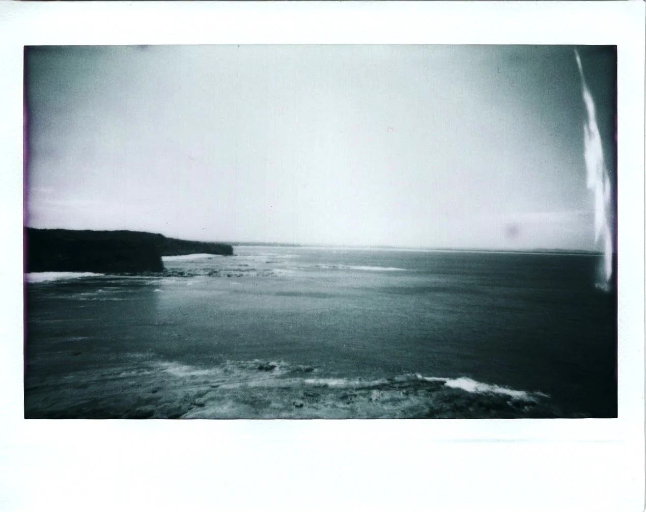
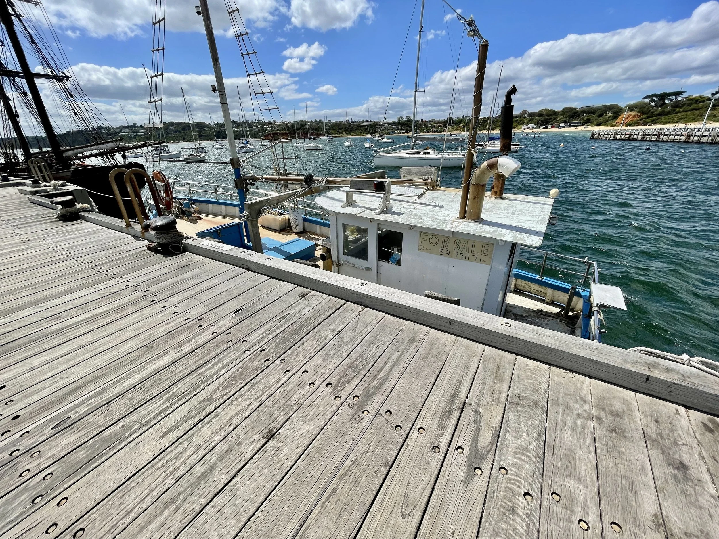
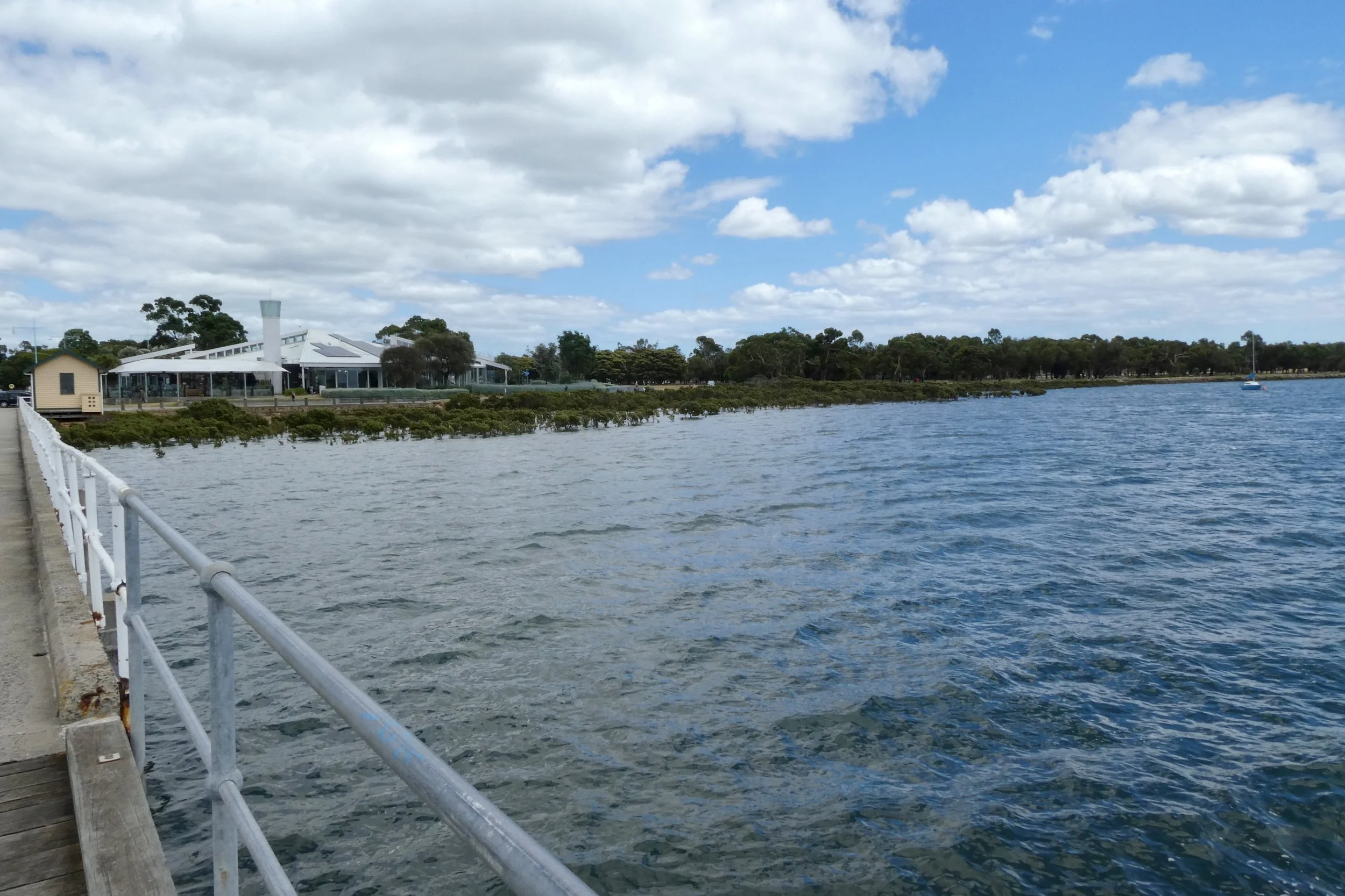
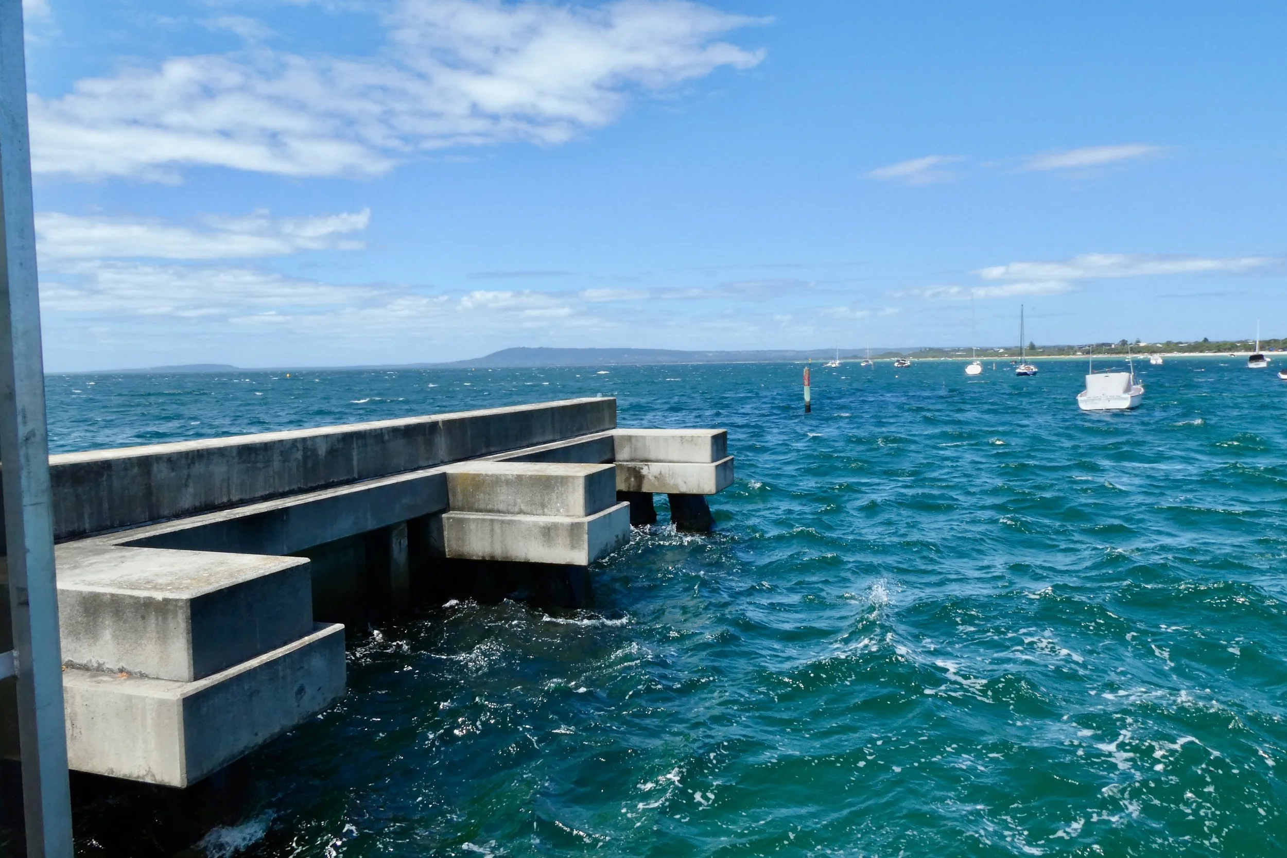
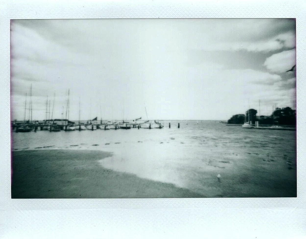
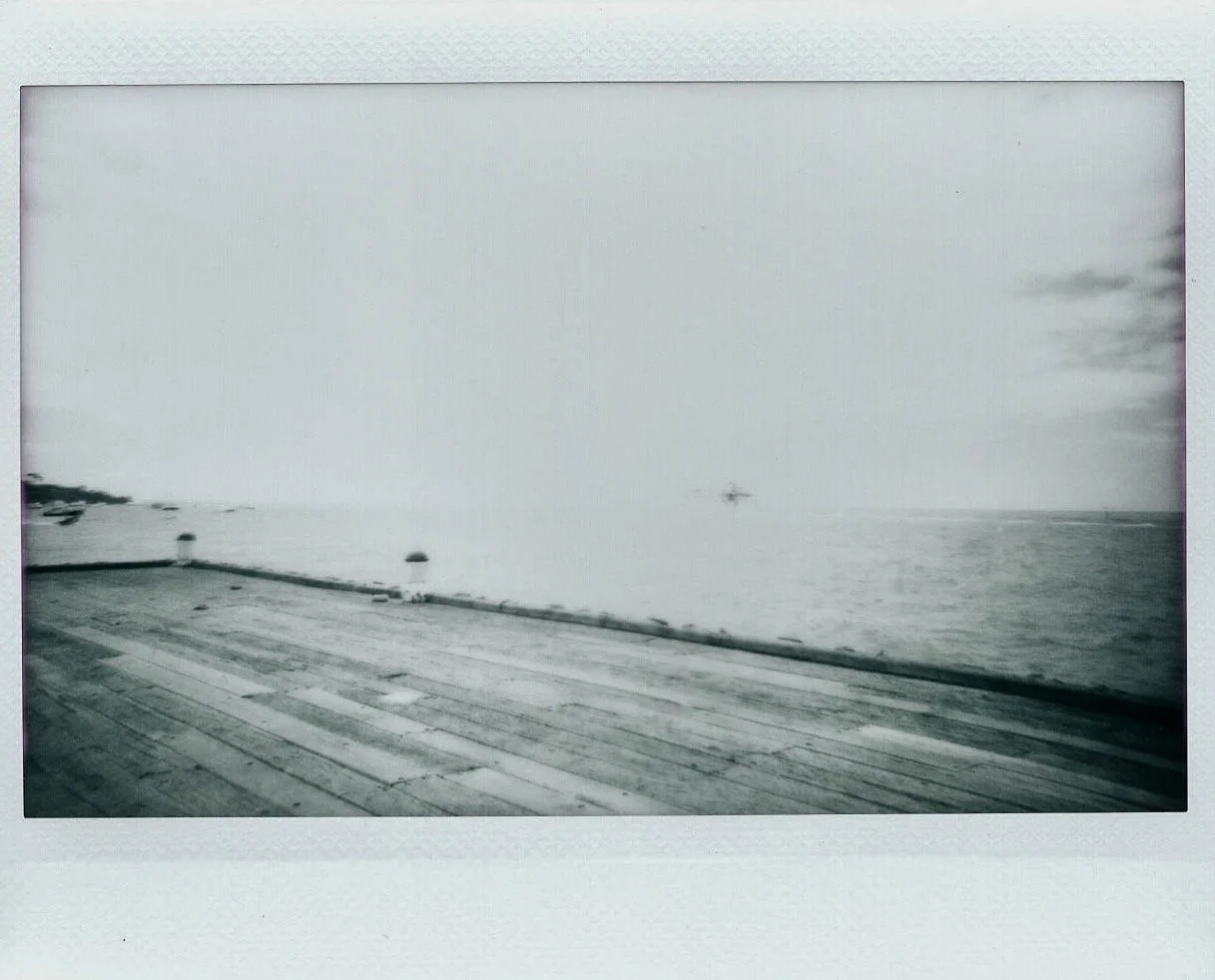
View from Hastings Pier.

I didn't achieve totally what I had set out to achieve, I barely made a dent in my 'stuff to do' list, along with a spreadsheet of places to go, things to research and other blog and other ideas. I don't think this is a bad thing, I've been constantly updating it throughout the year, building on it so I have choices, and have lots of things on the 'to do list' to work through.

But looking back through the year I'm happy I did something. I feel better having achieved those things. Having gone places, done stuff.

It's weird looking back at the posts, and looking through my photos, and thinking 'was that really then?'.

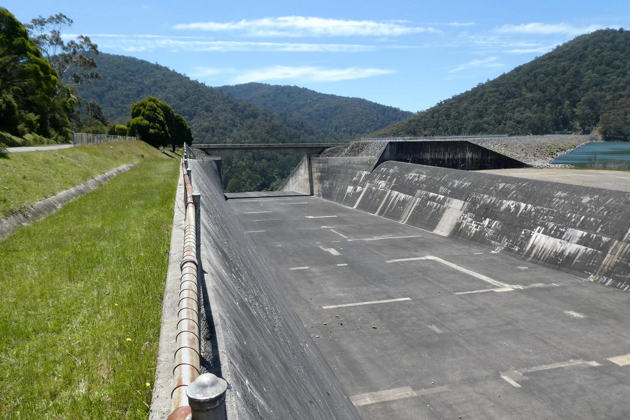
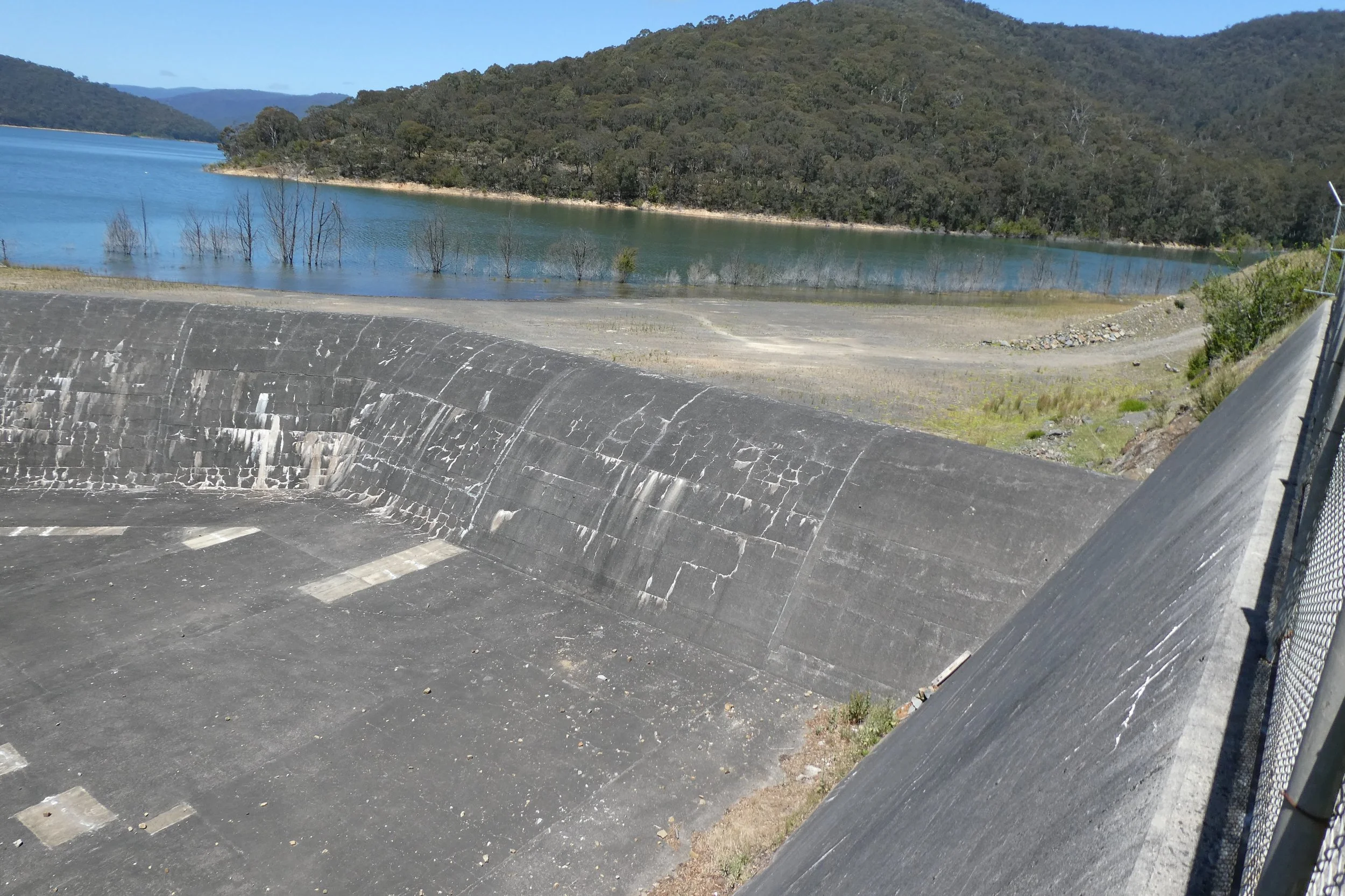
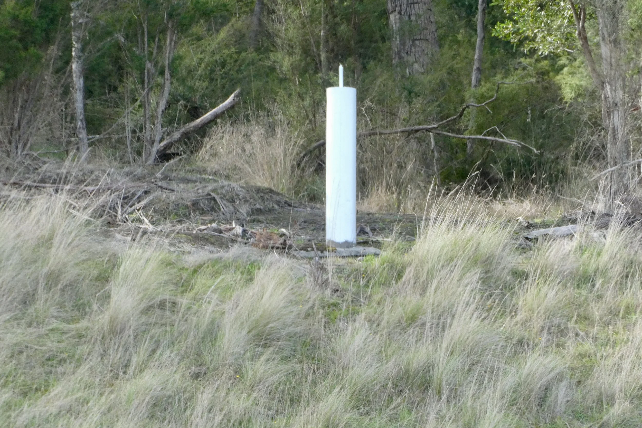
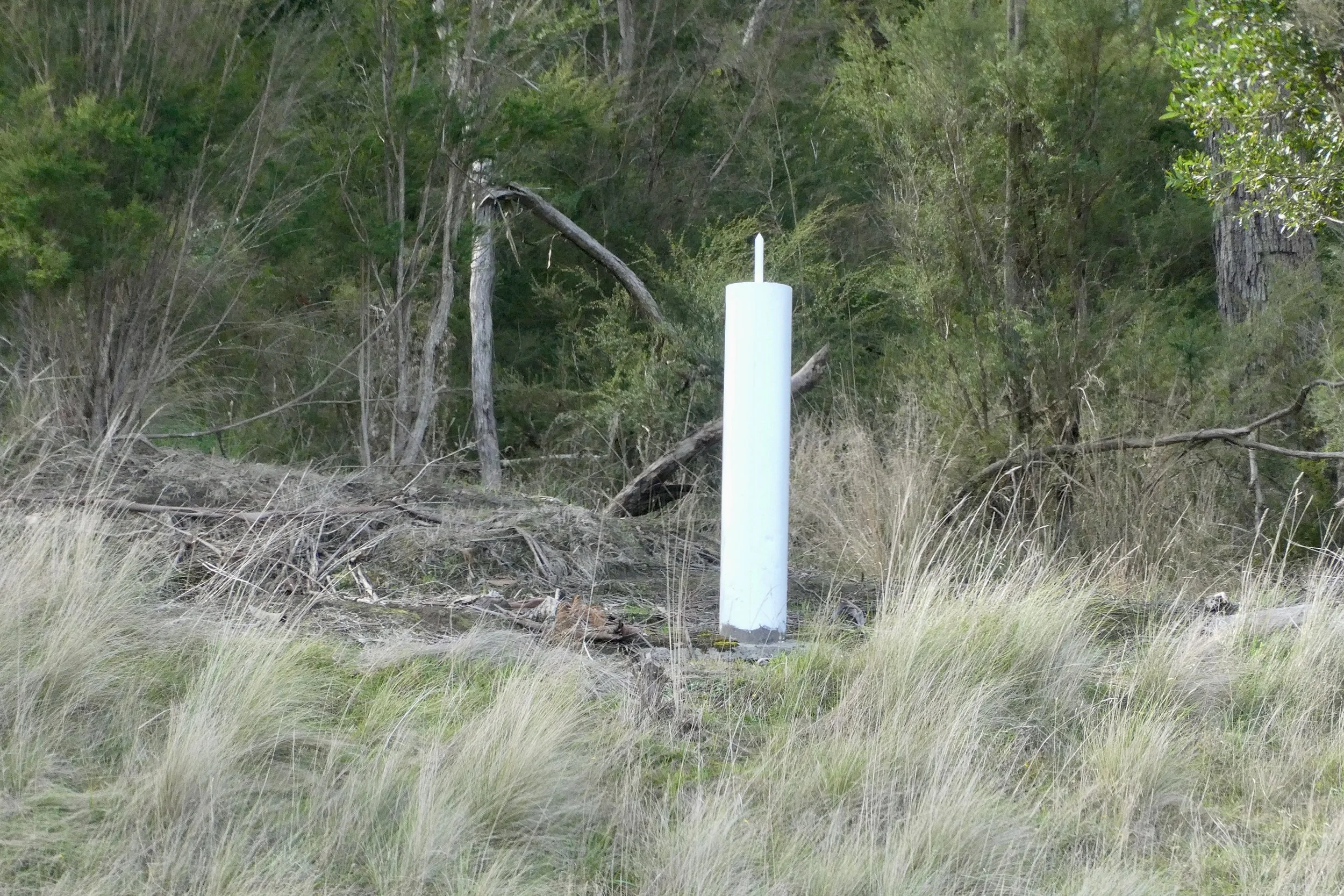
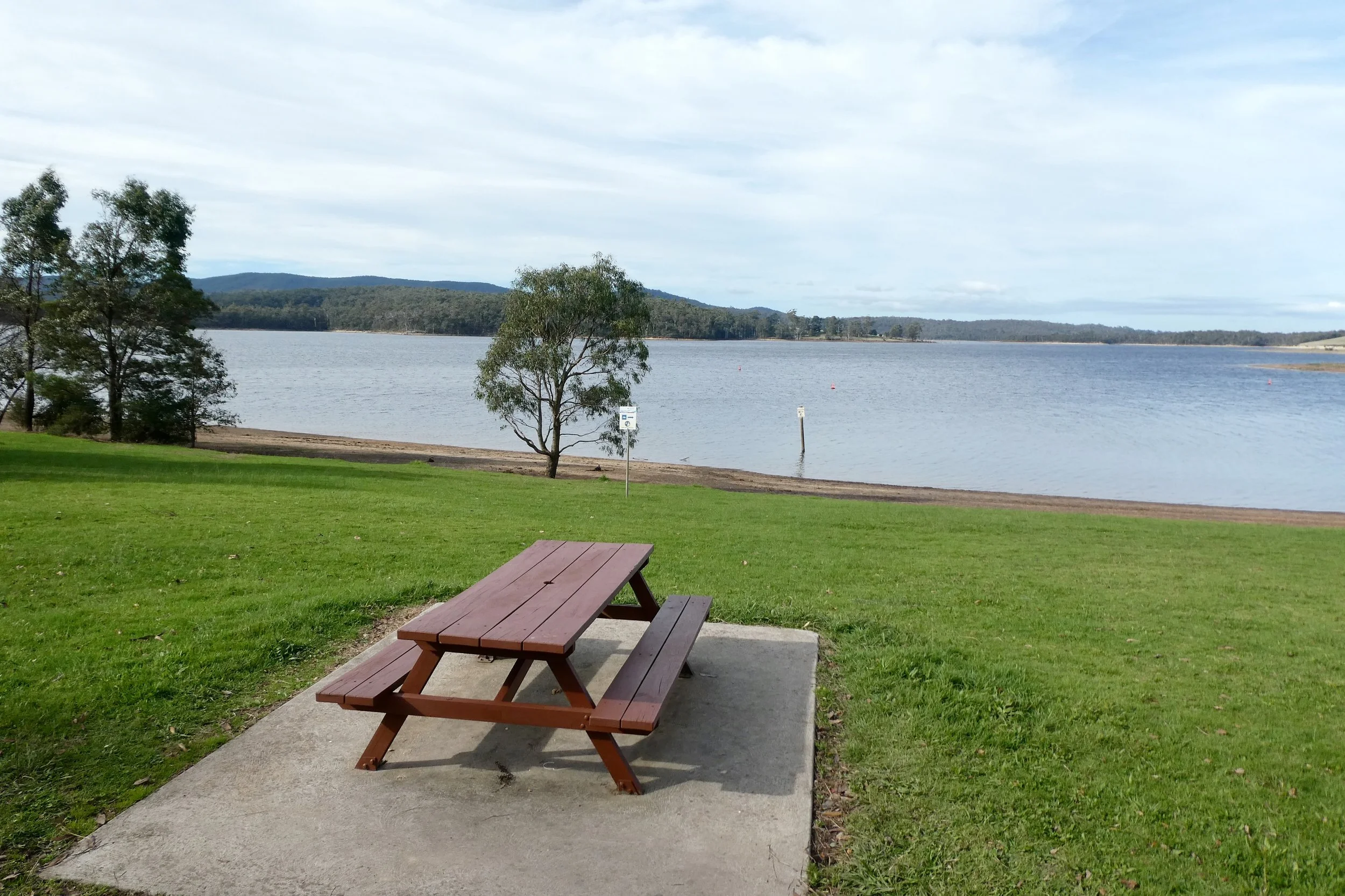
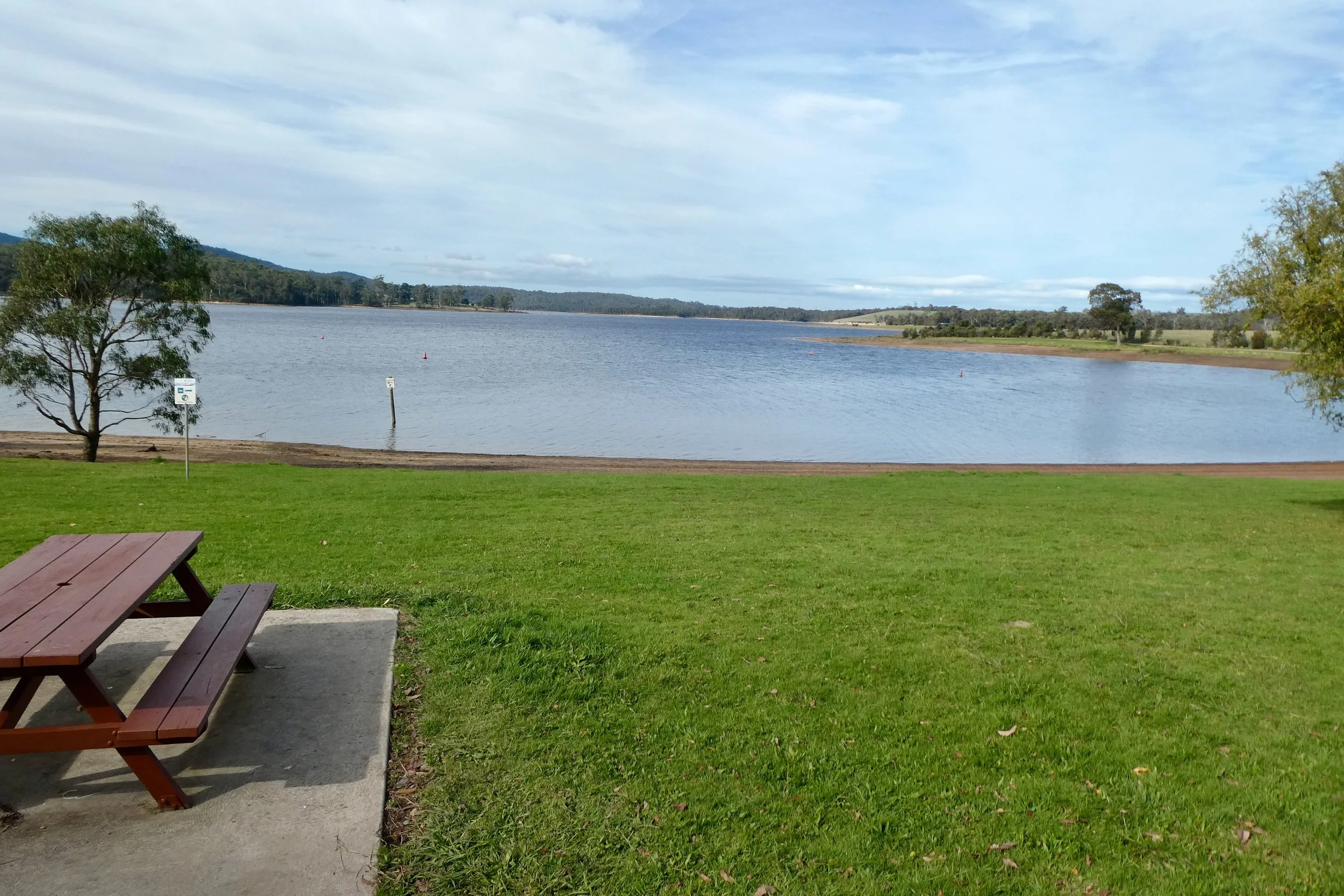
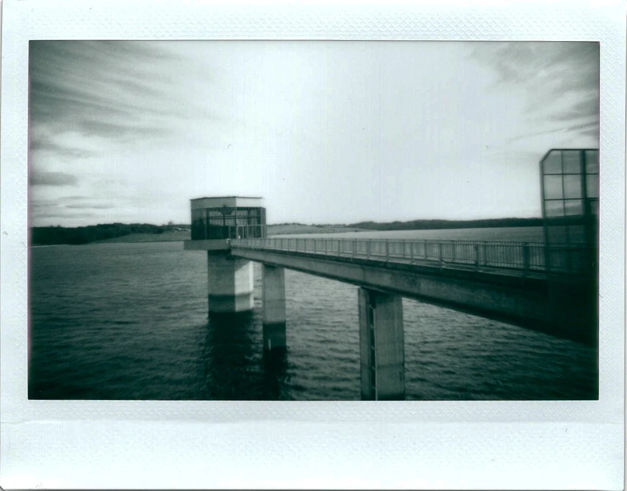
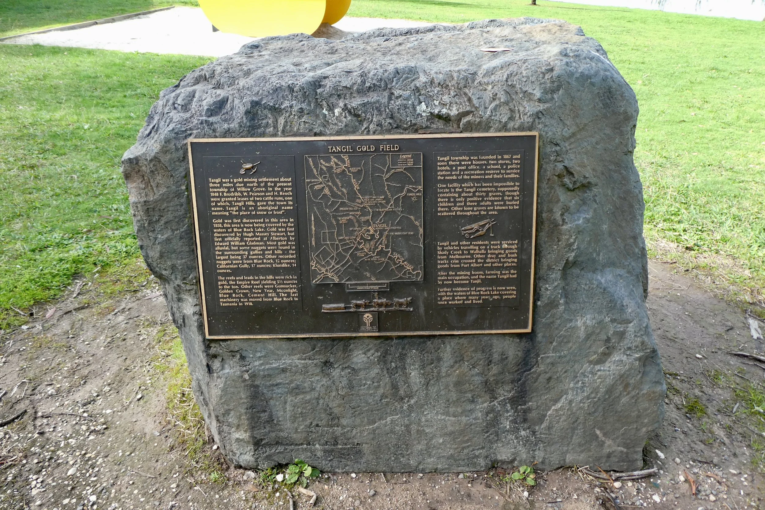
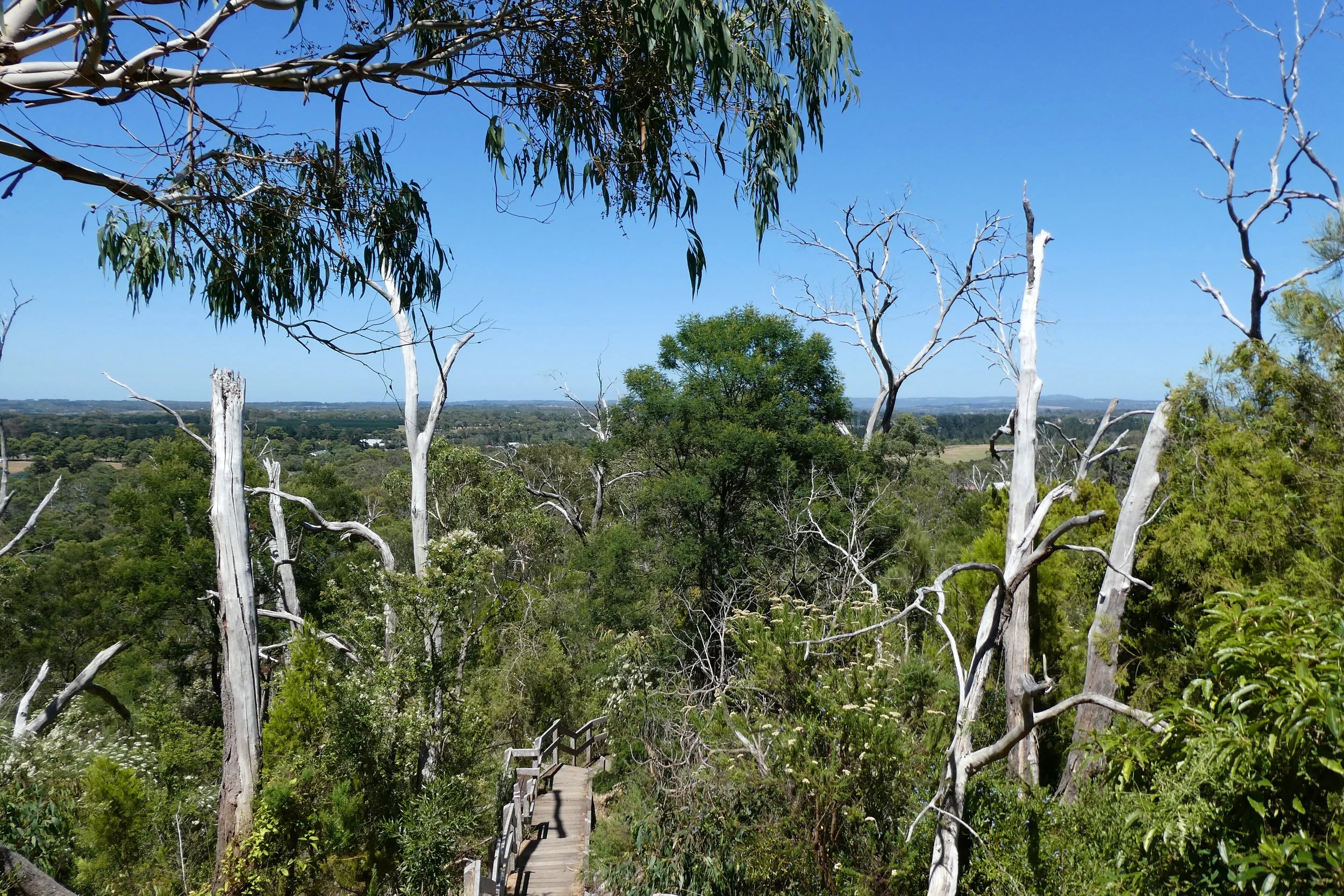
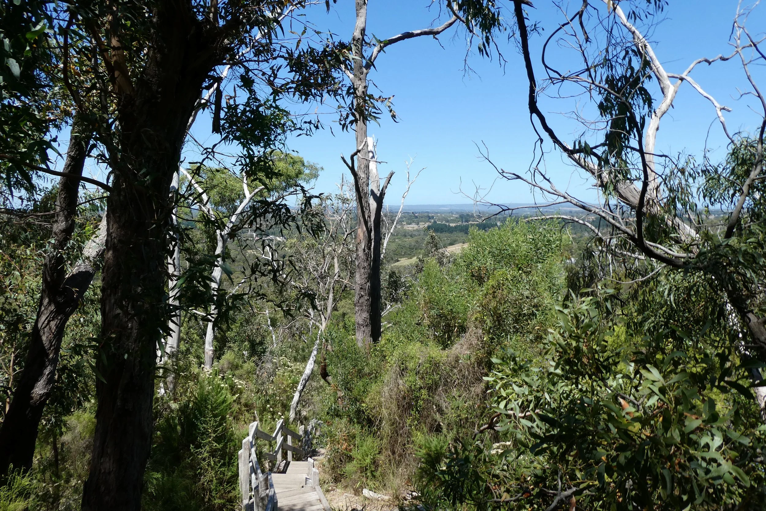
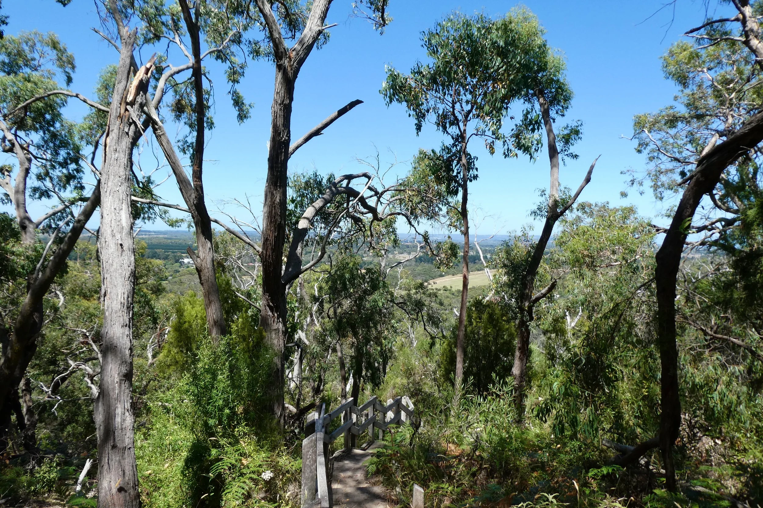
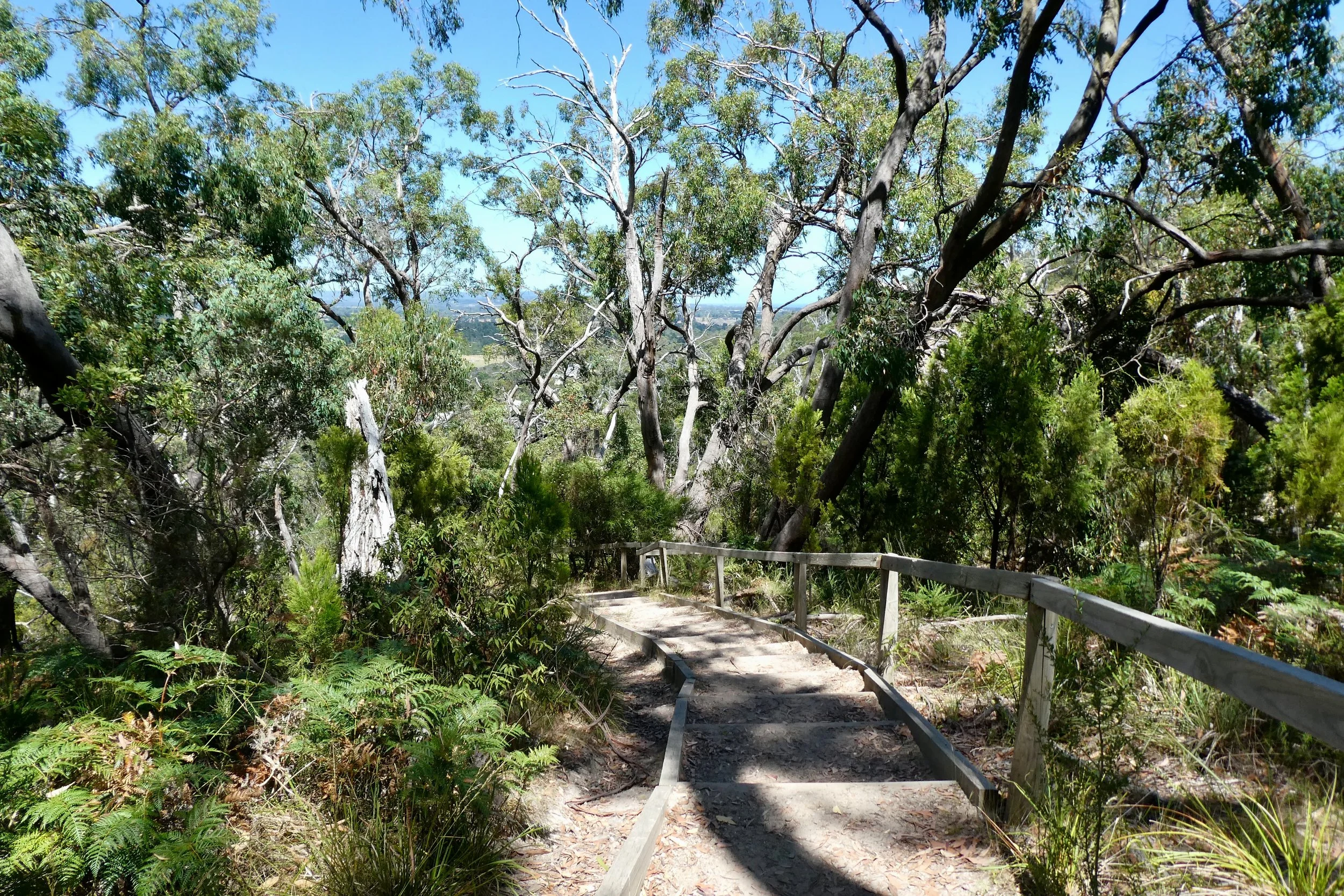
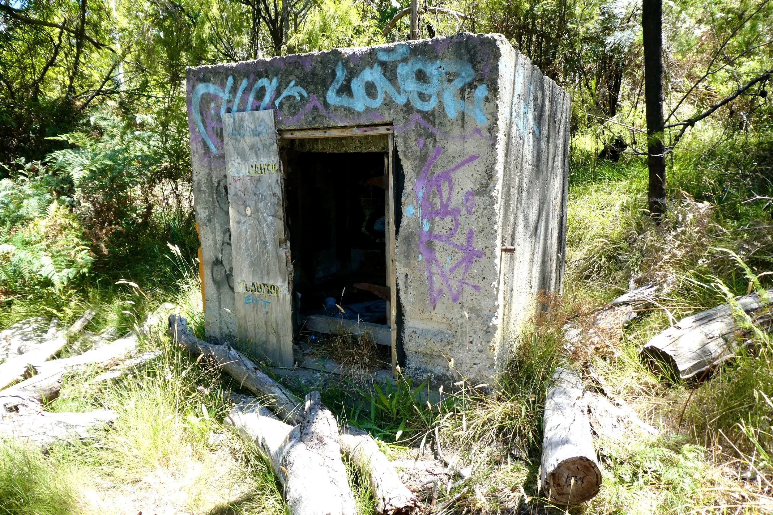
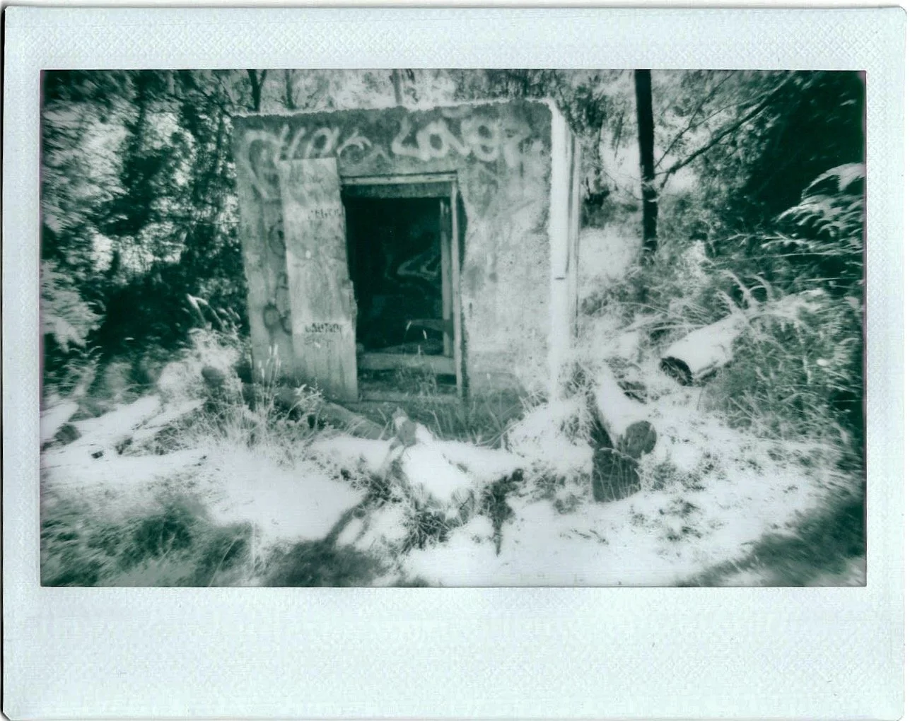
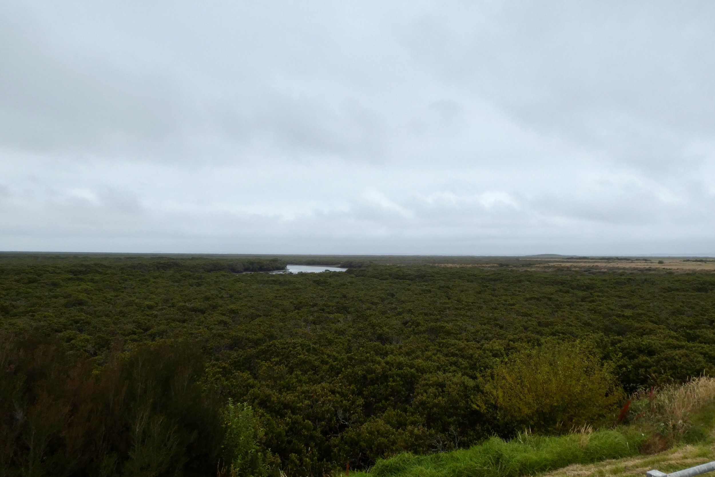
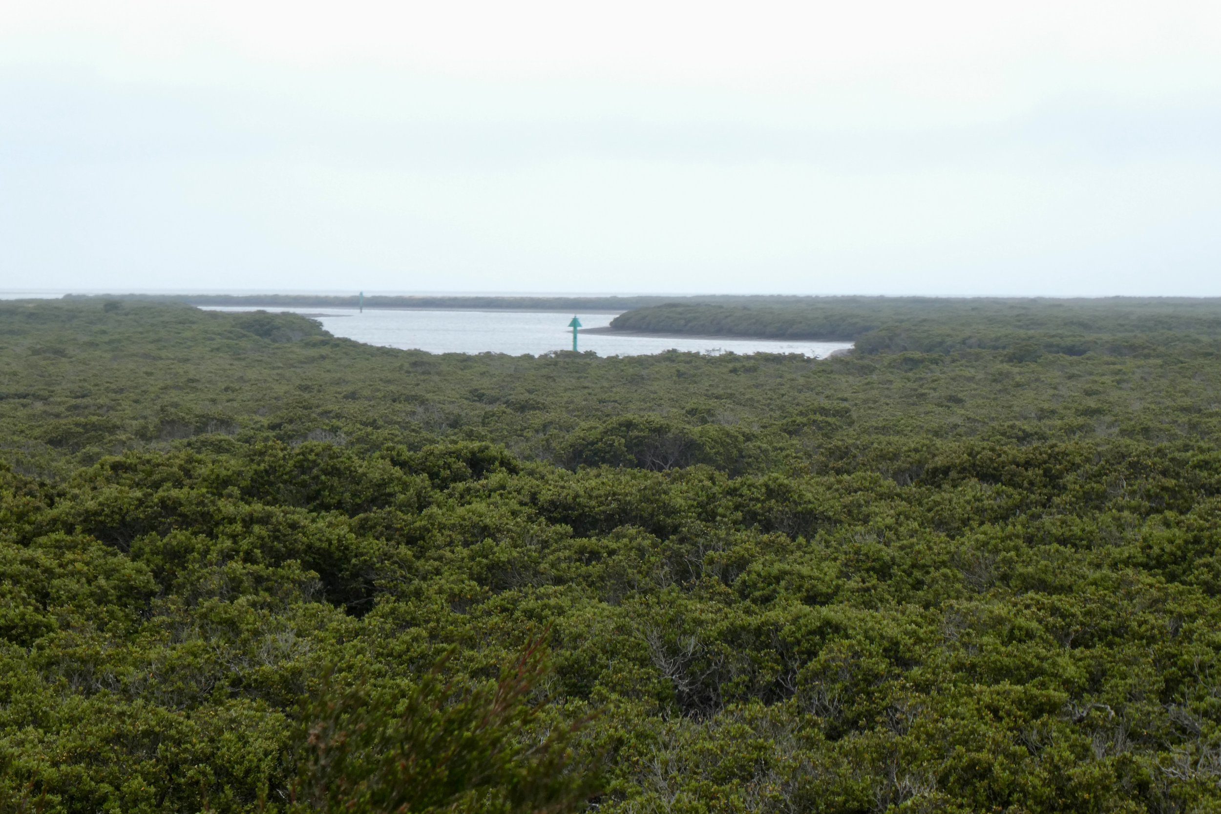
Blue Rock Lake, dead trees on shore.

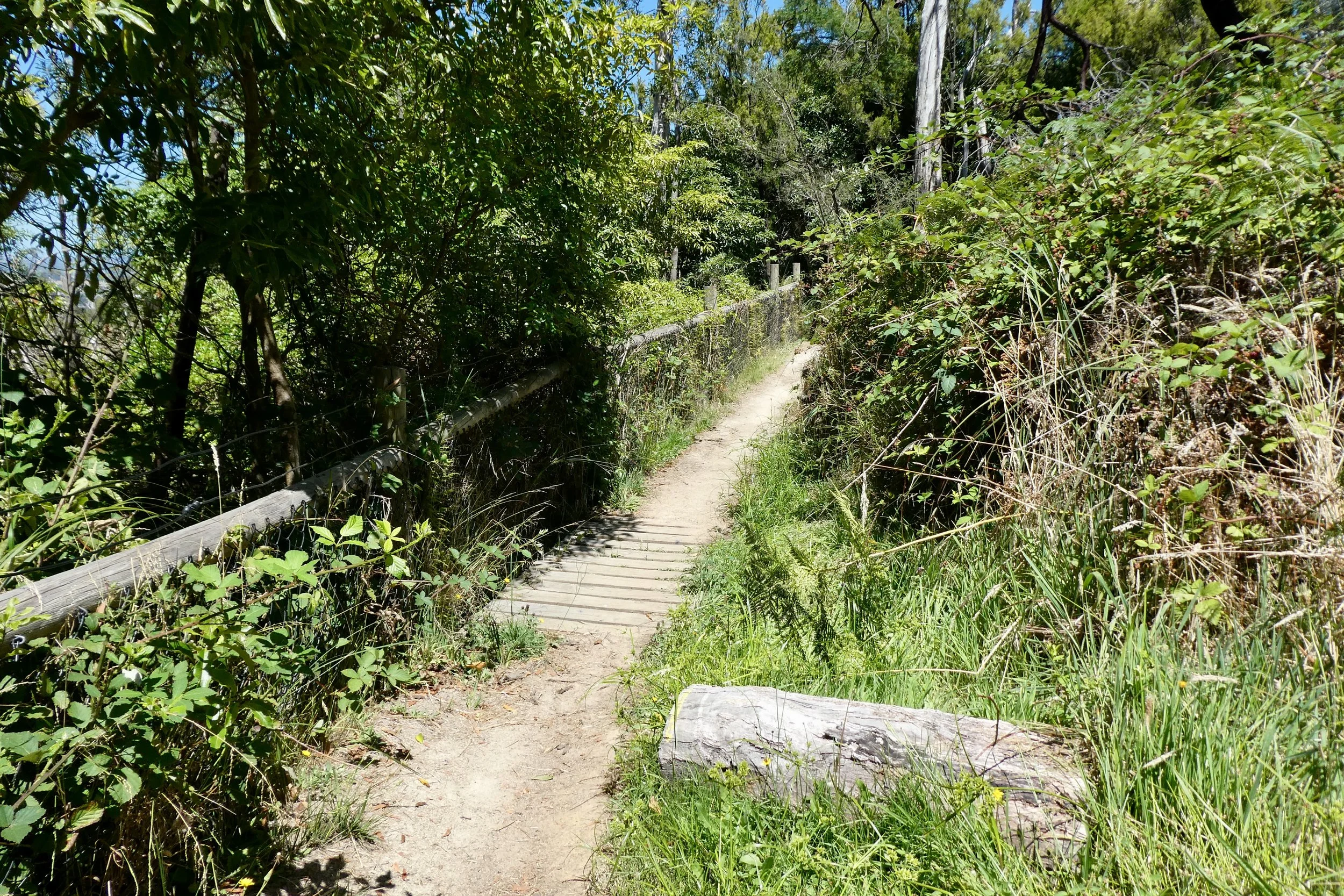
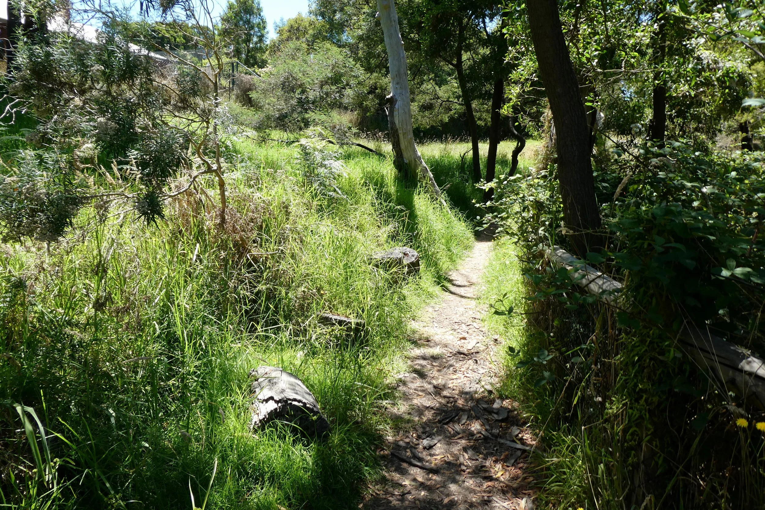
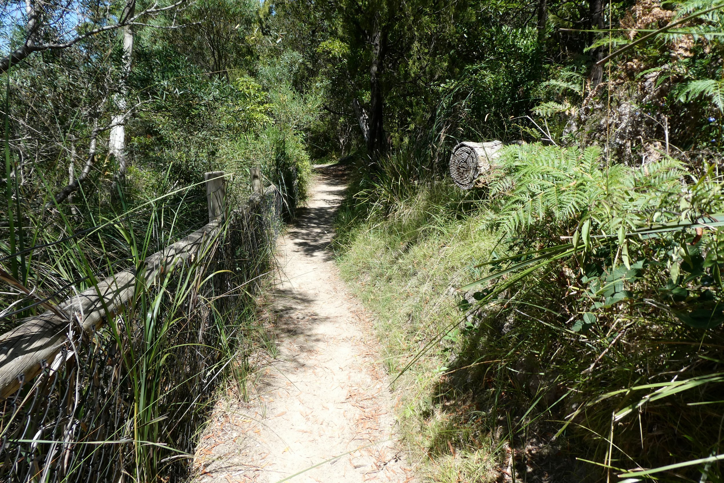
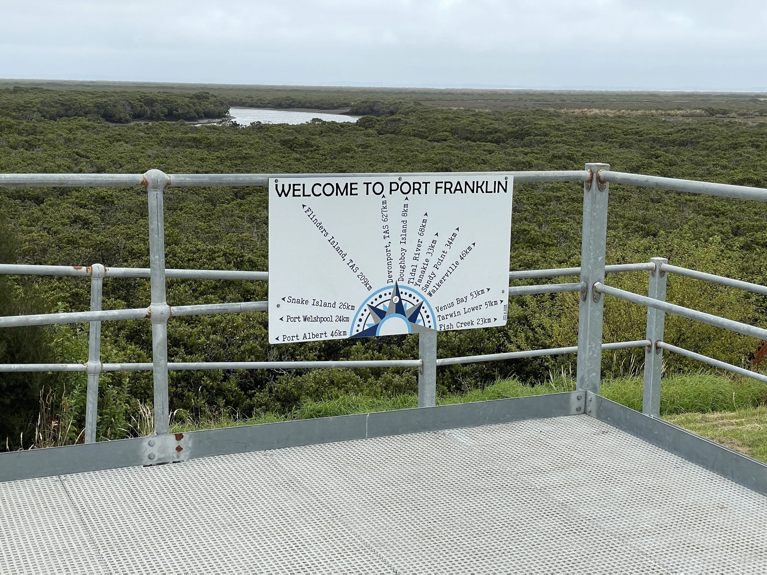
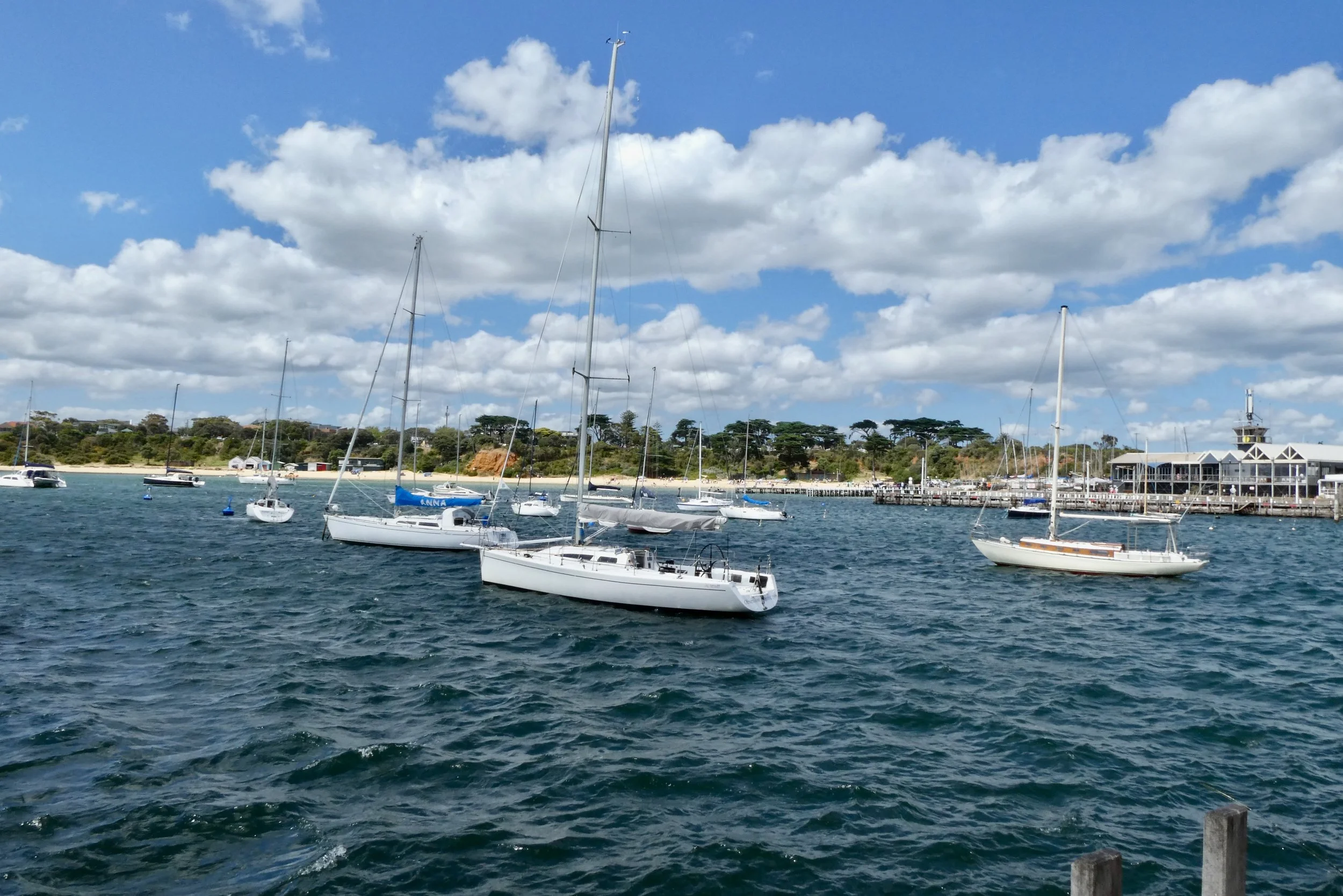
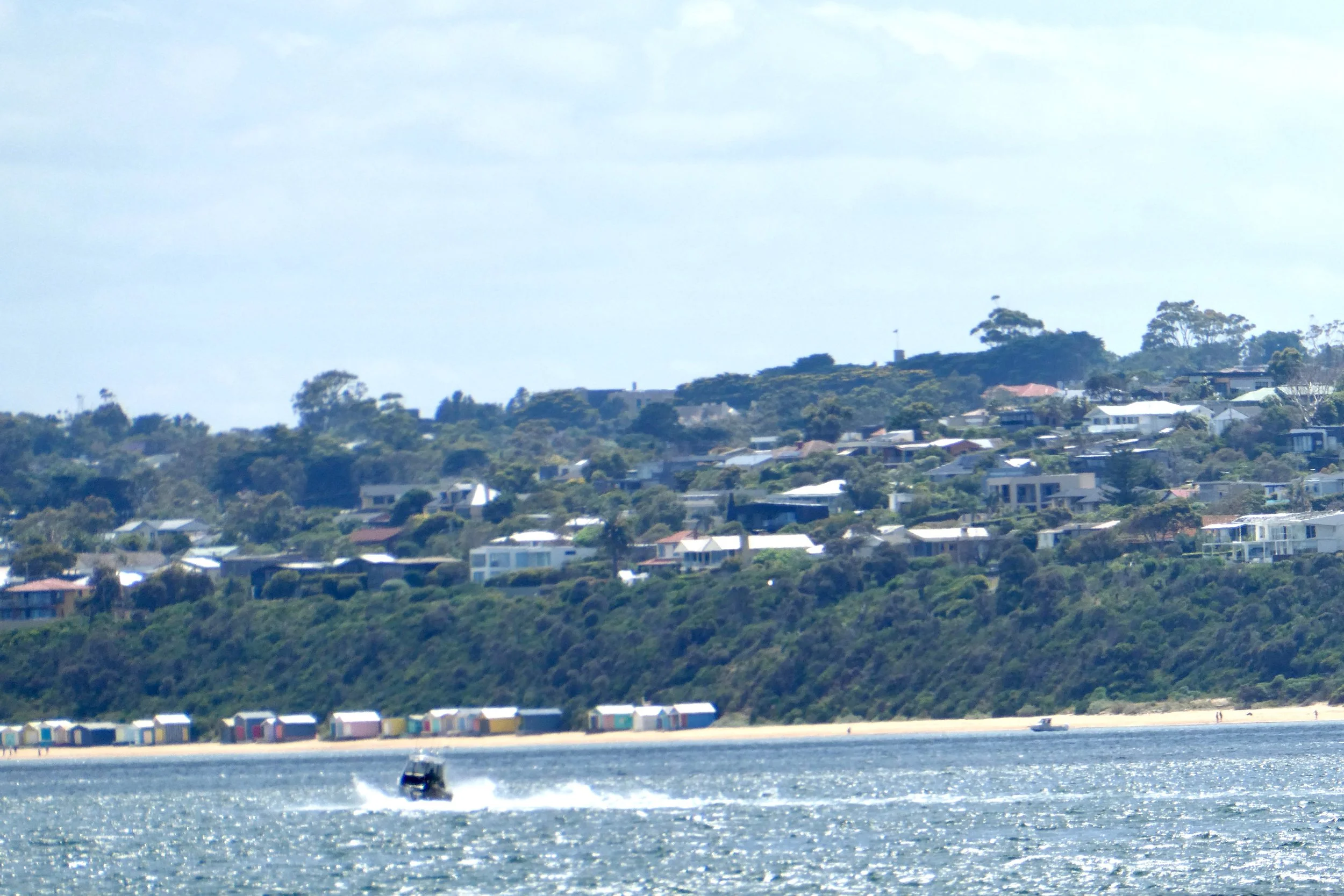
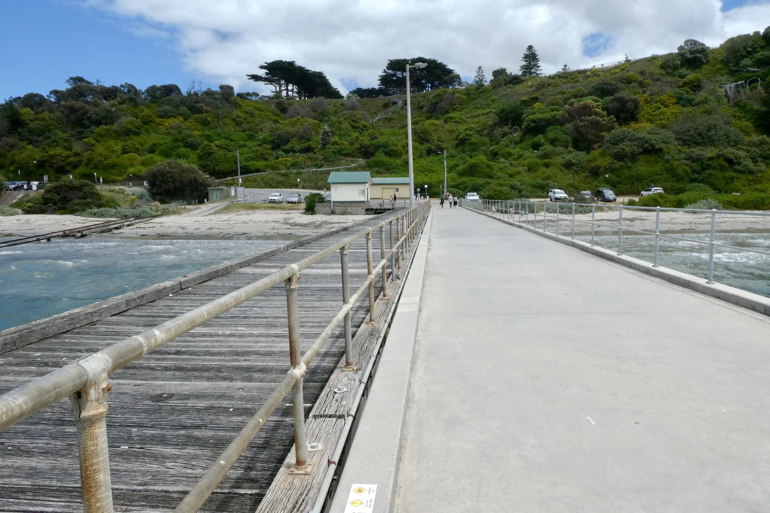
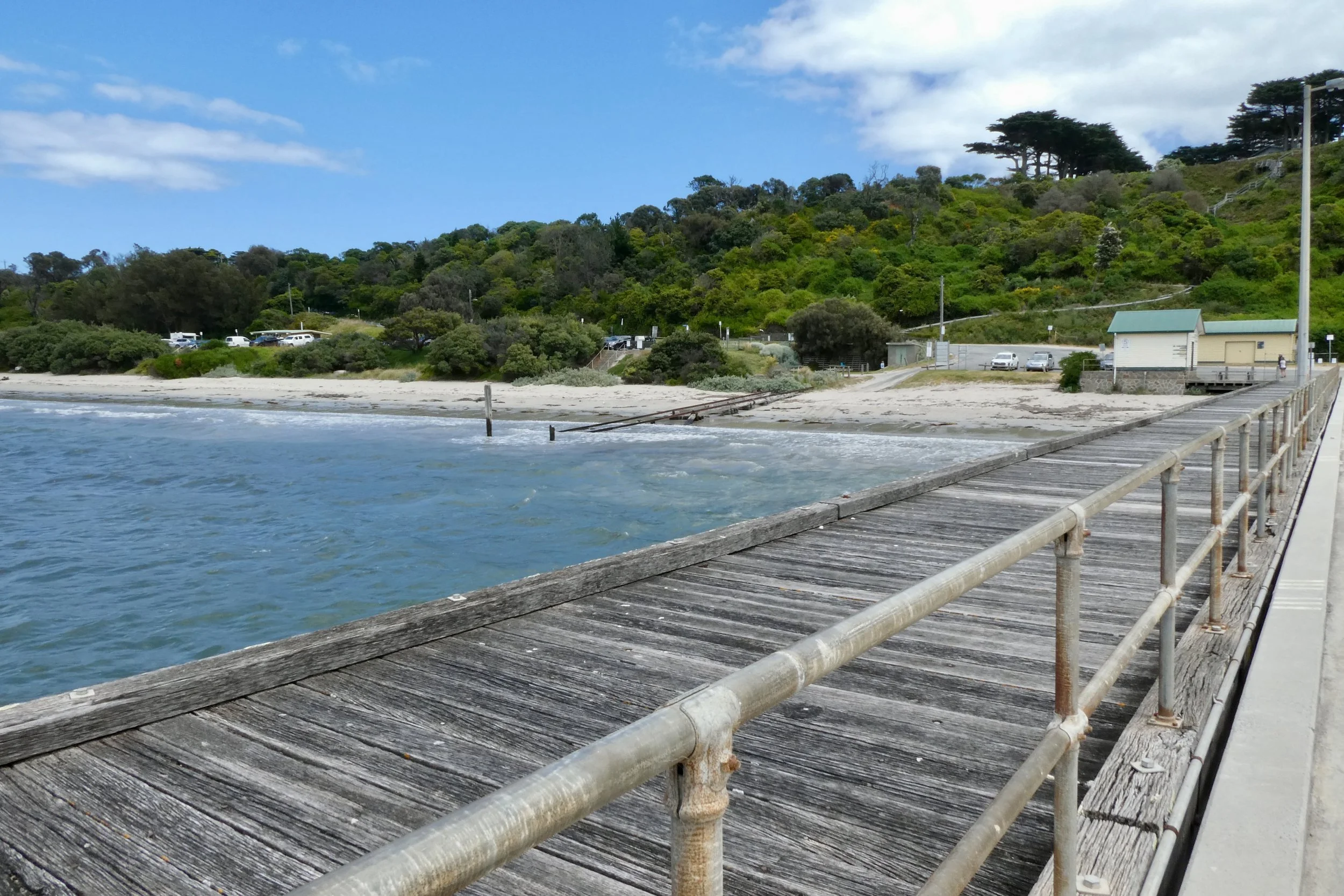
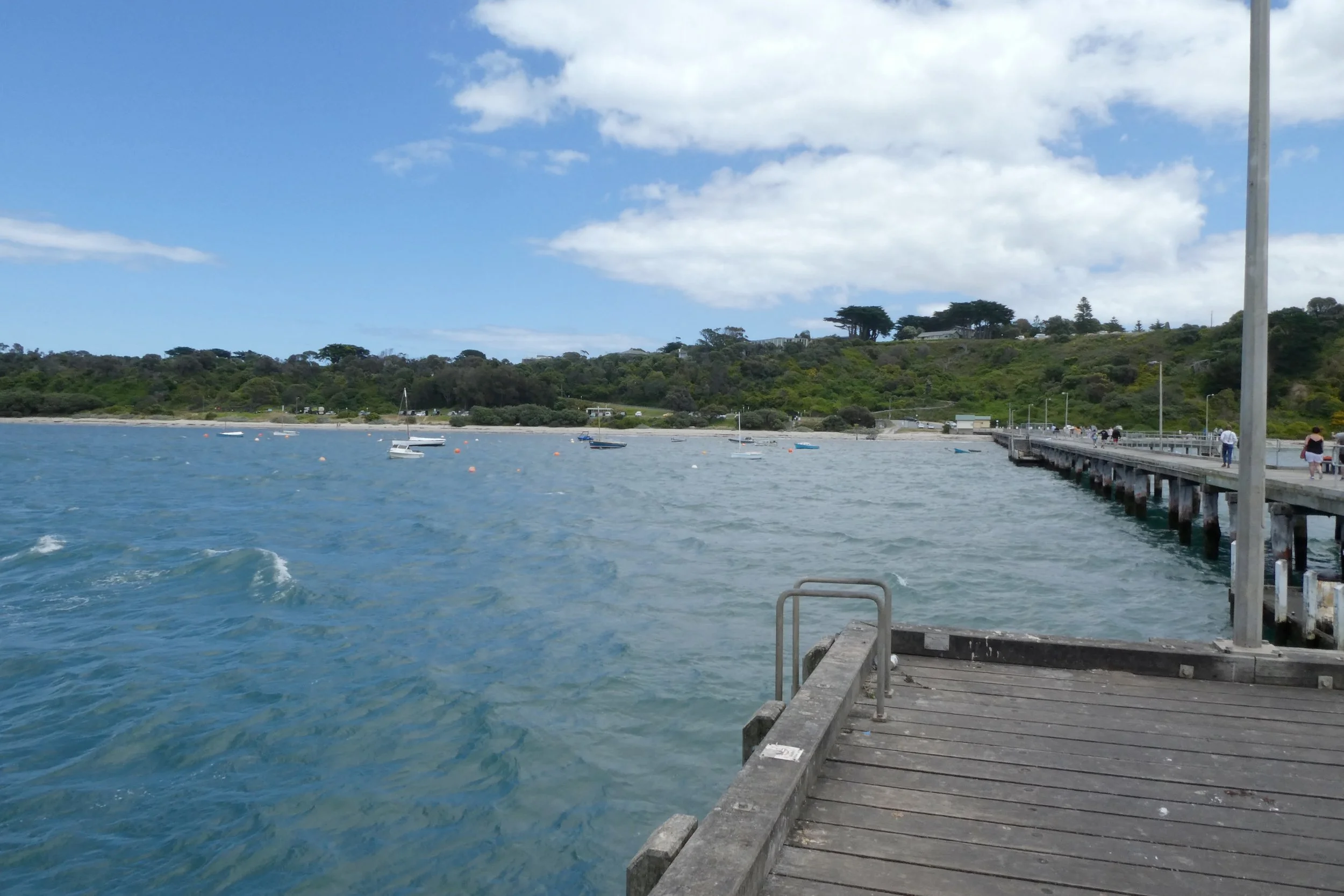
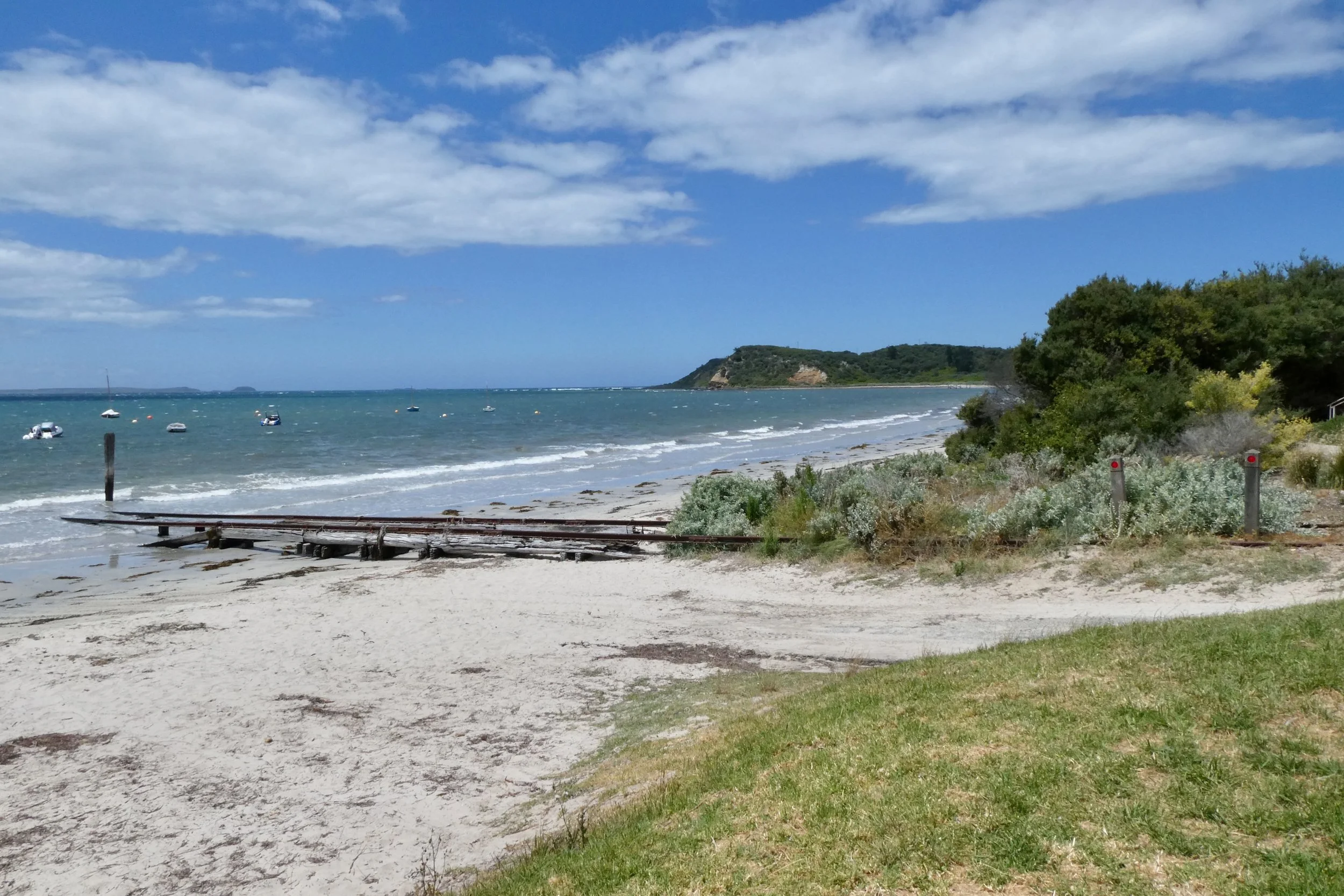
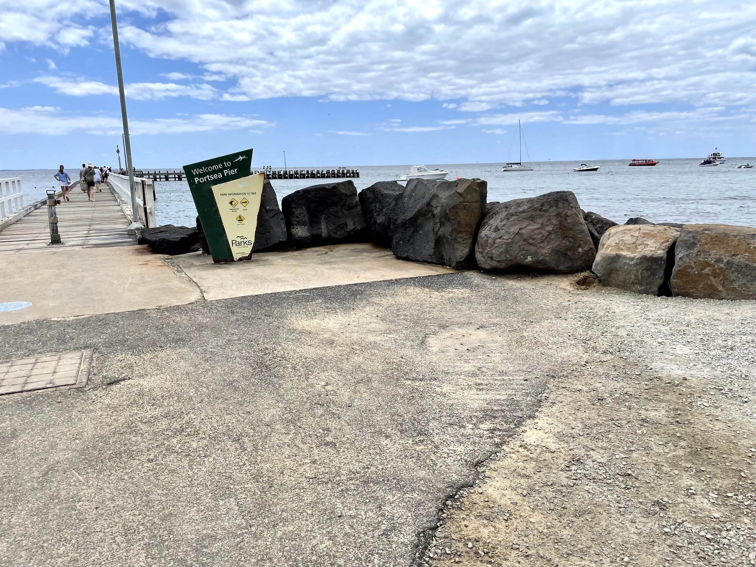
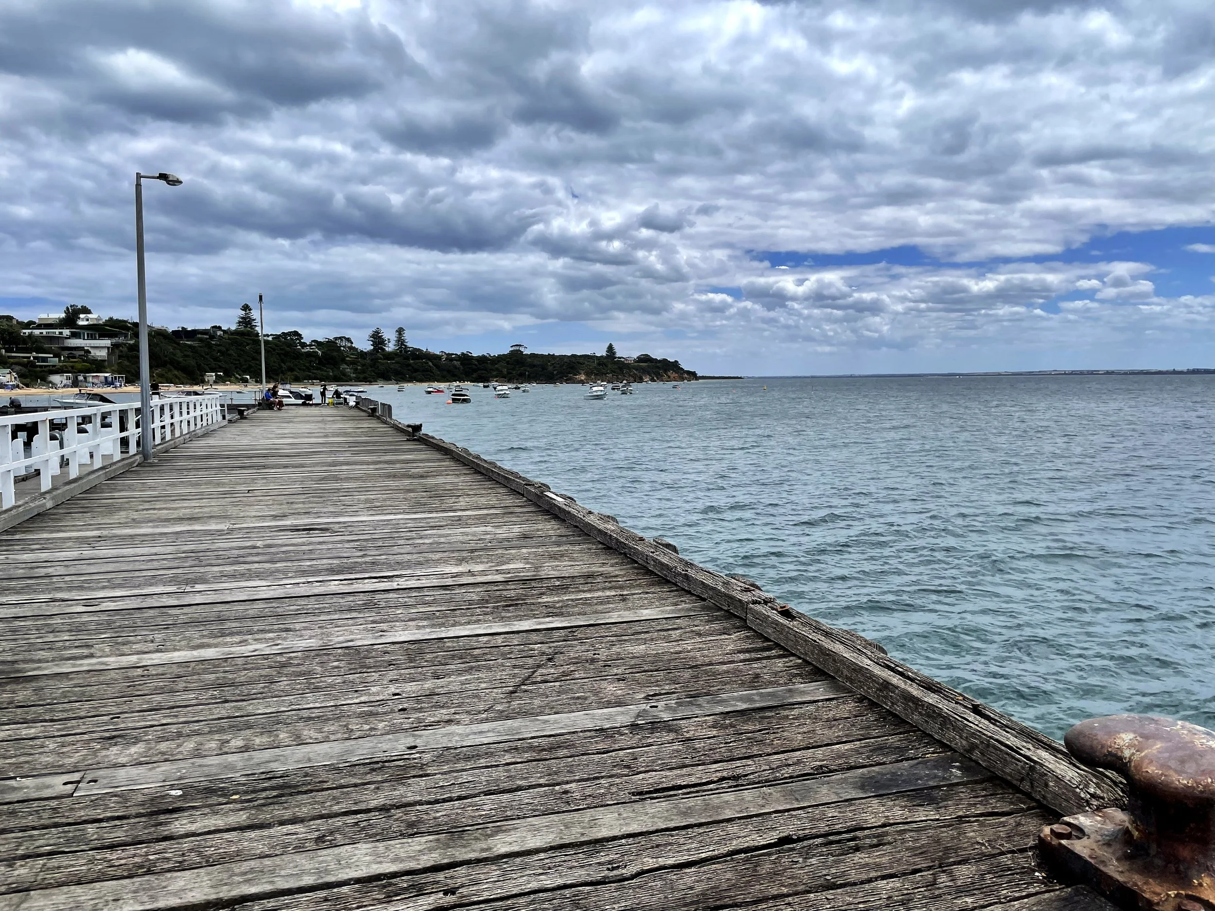
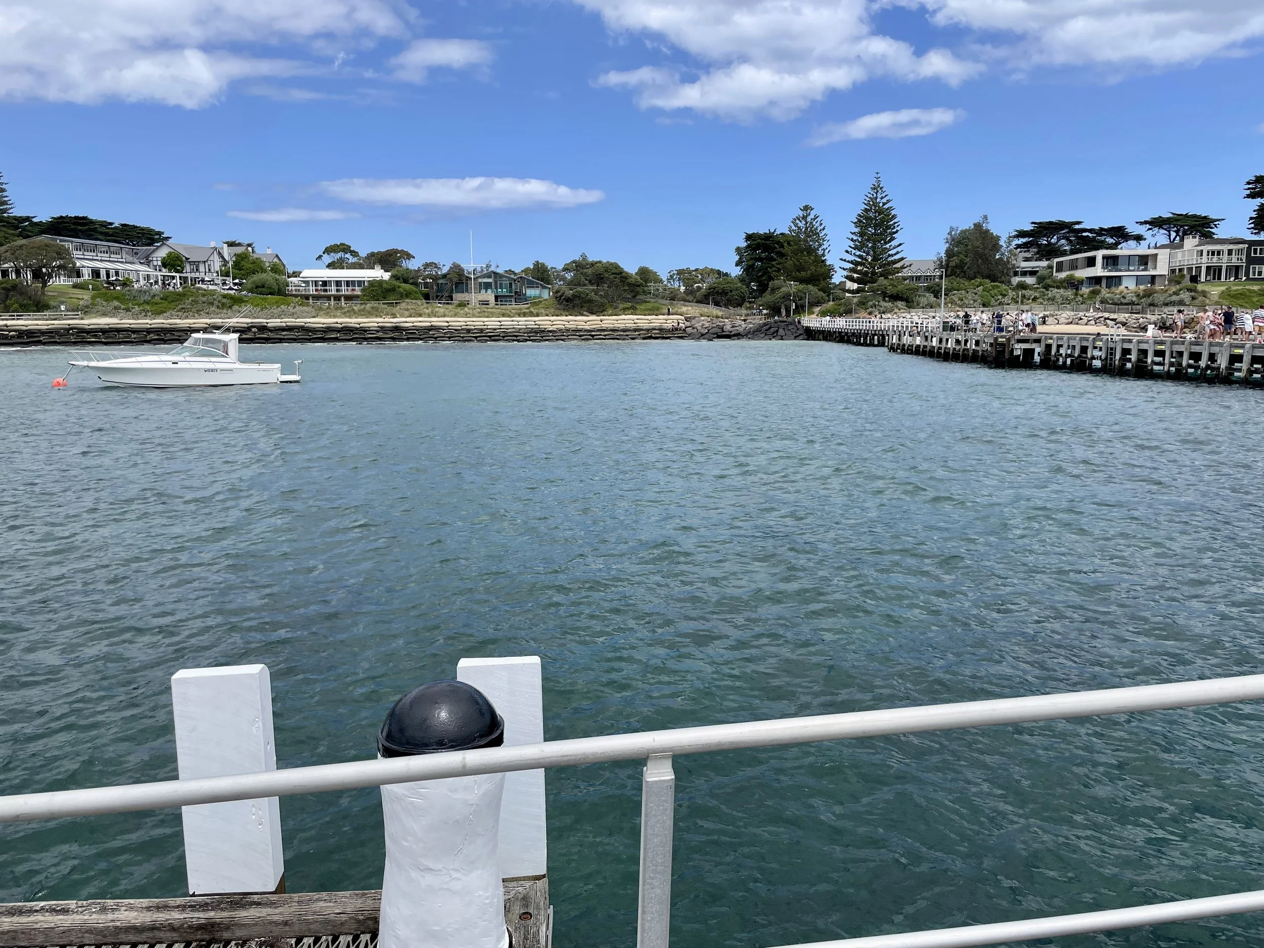
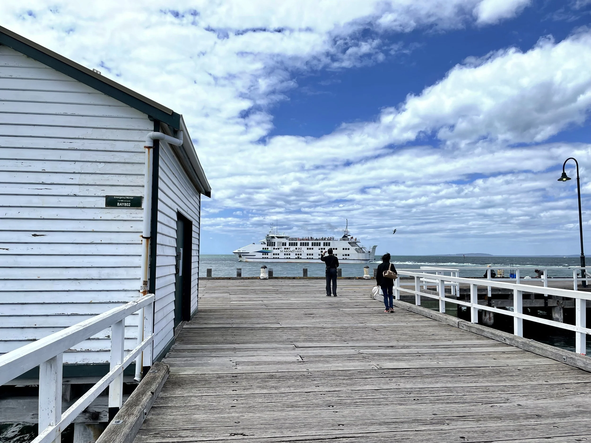
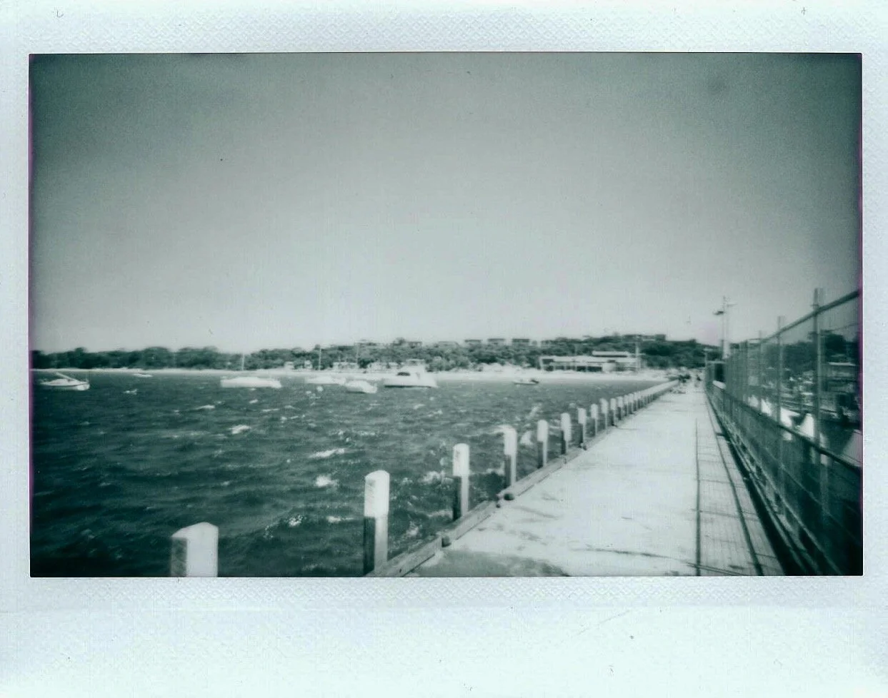
If I'm honest attempting to walk all the piers of the Peninsula was ambitious, I realise that now. I did actually intend to try again during the winter and never got around to it (maybe 2024 will be the year I succeed at that?).

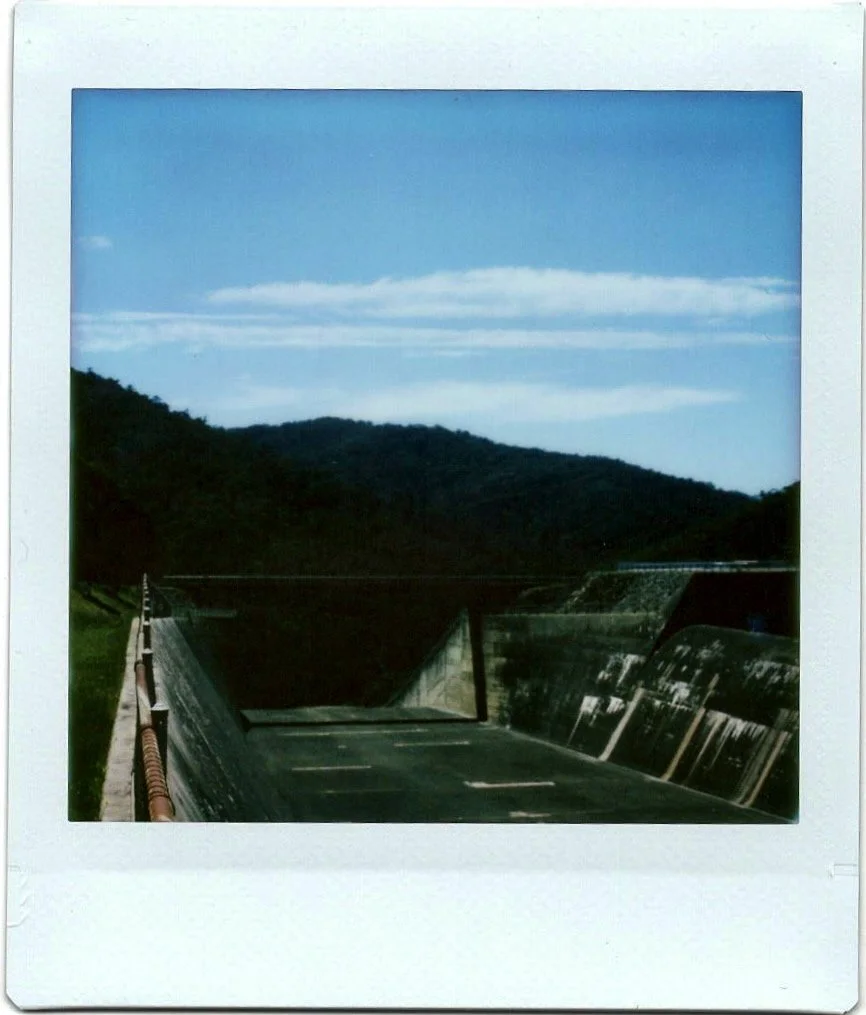
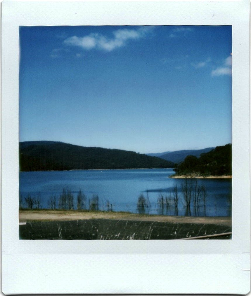
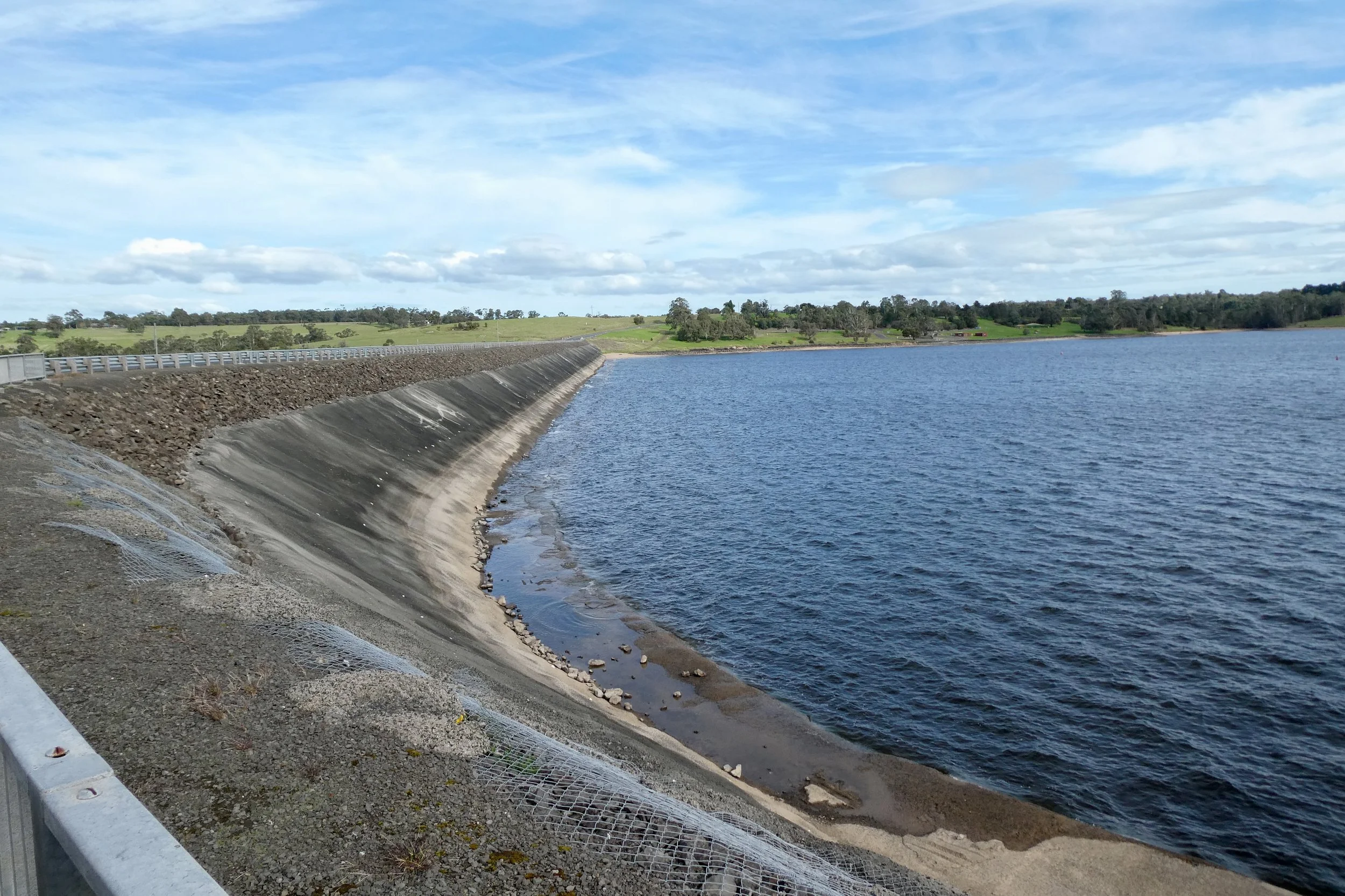
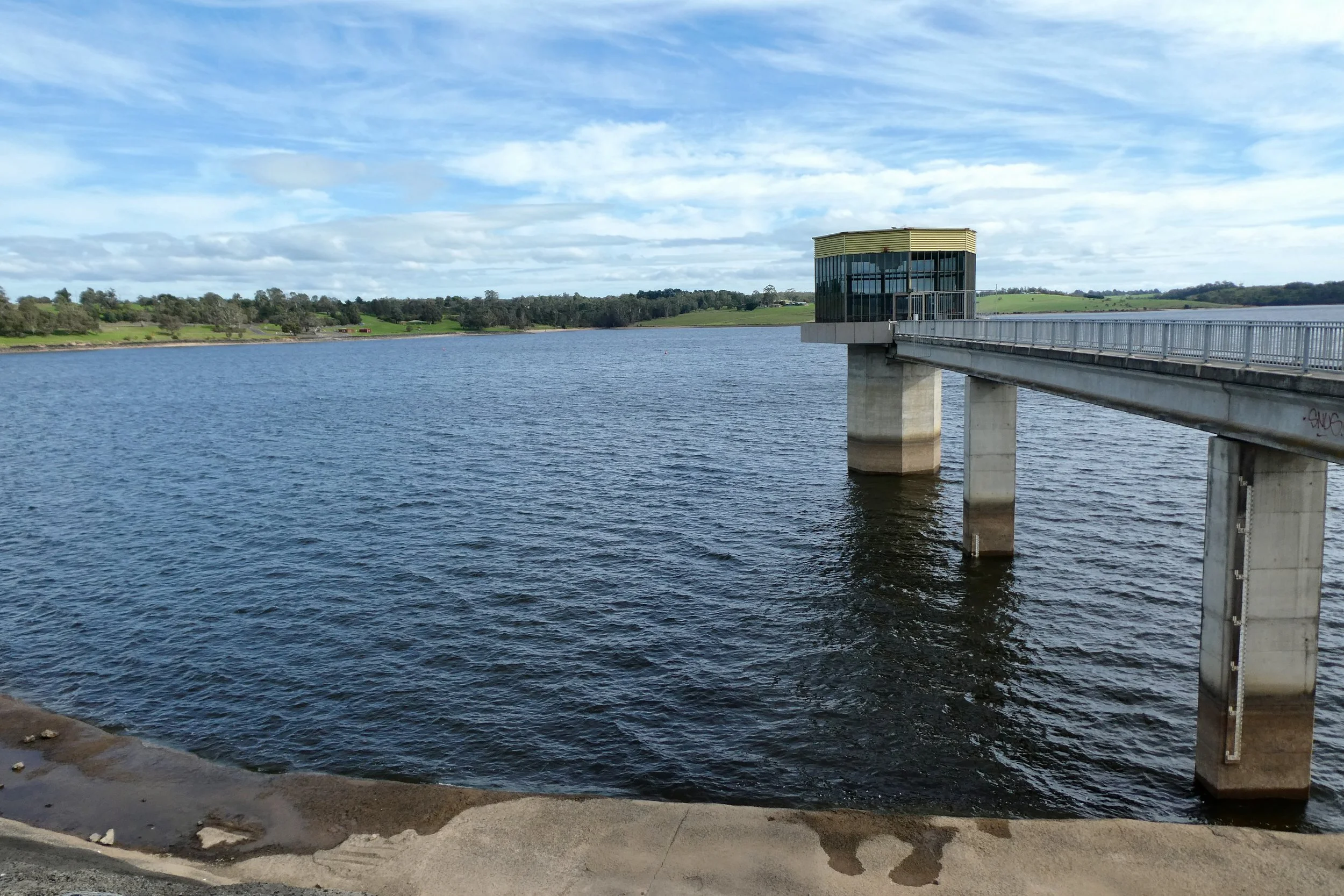
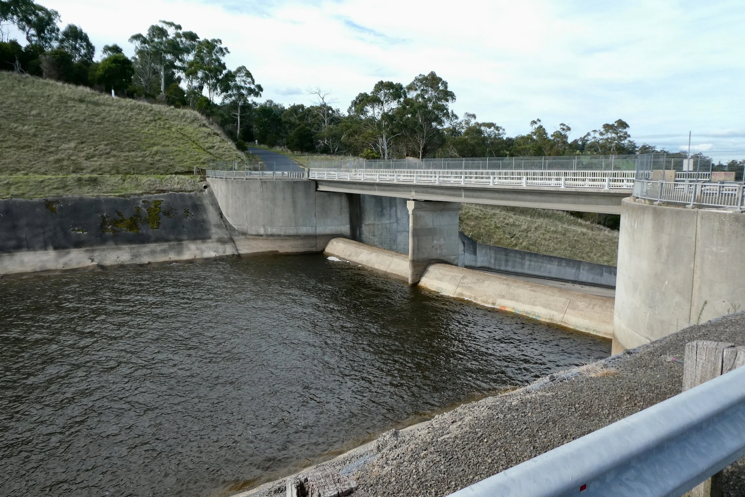
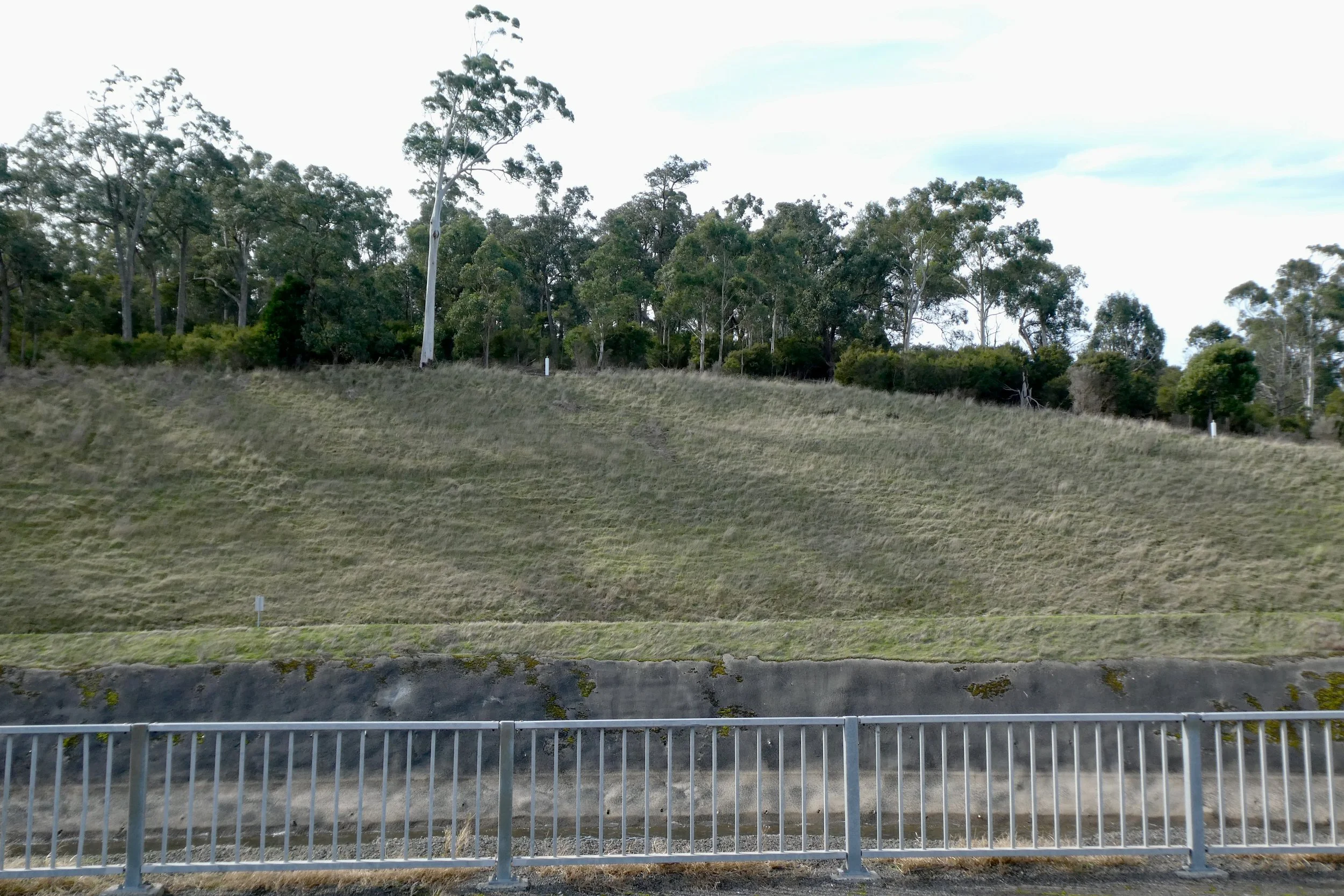
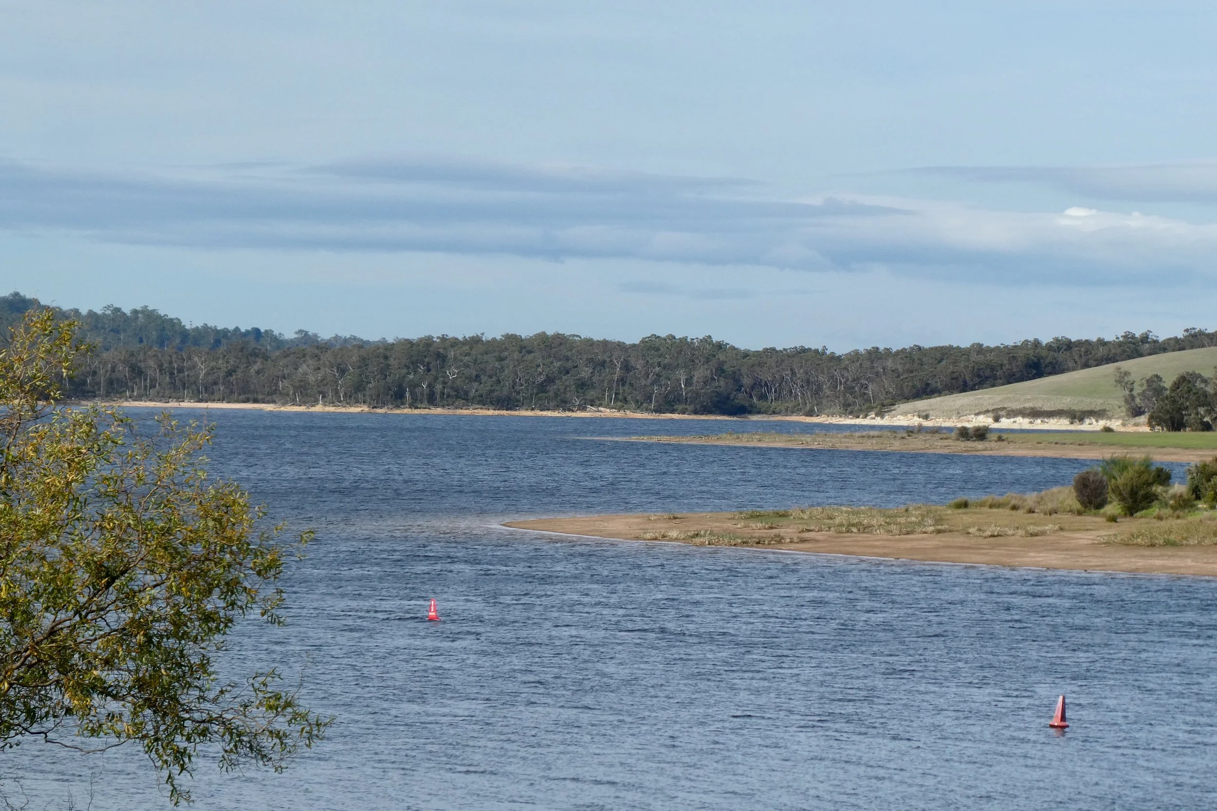
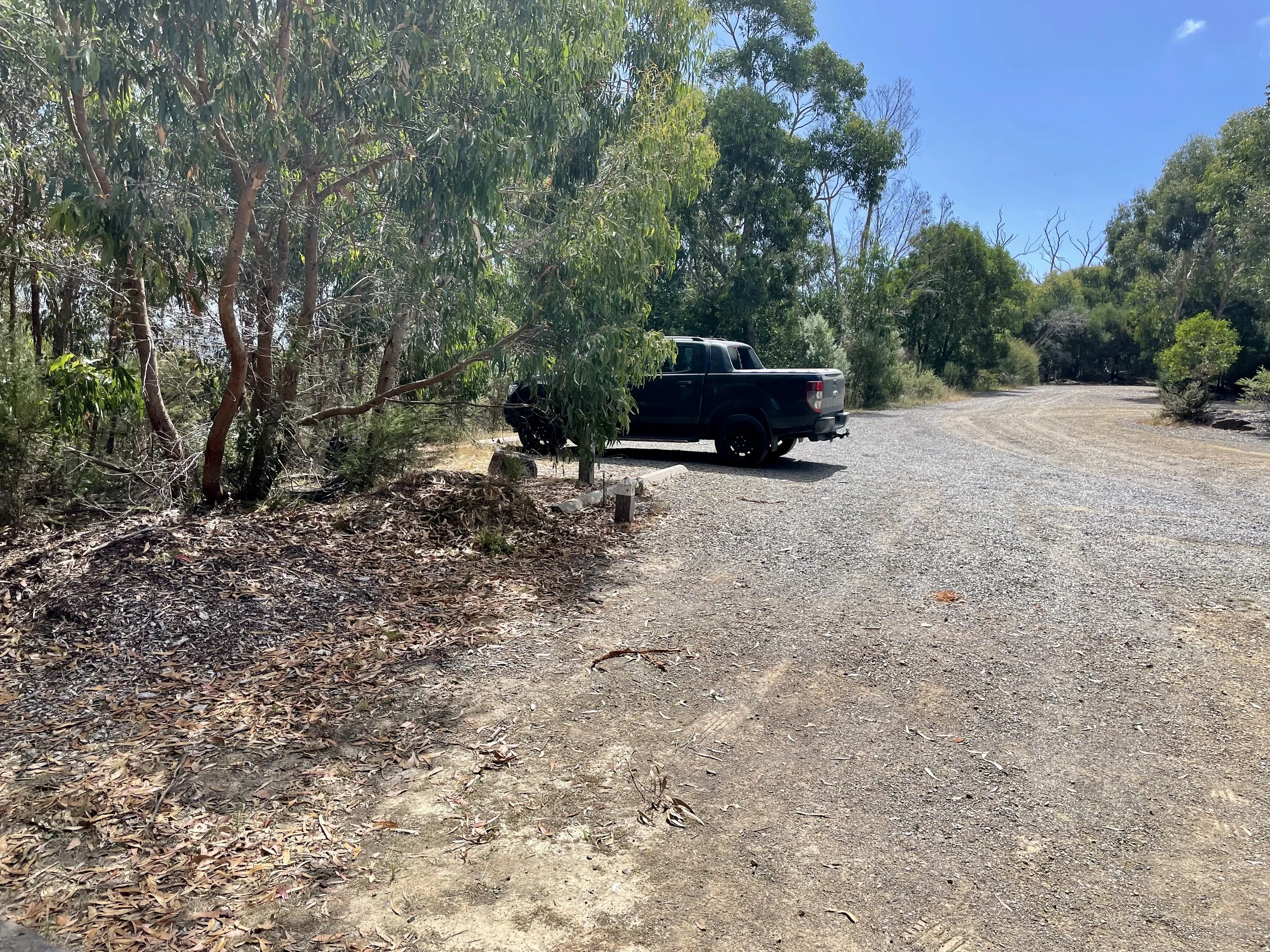
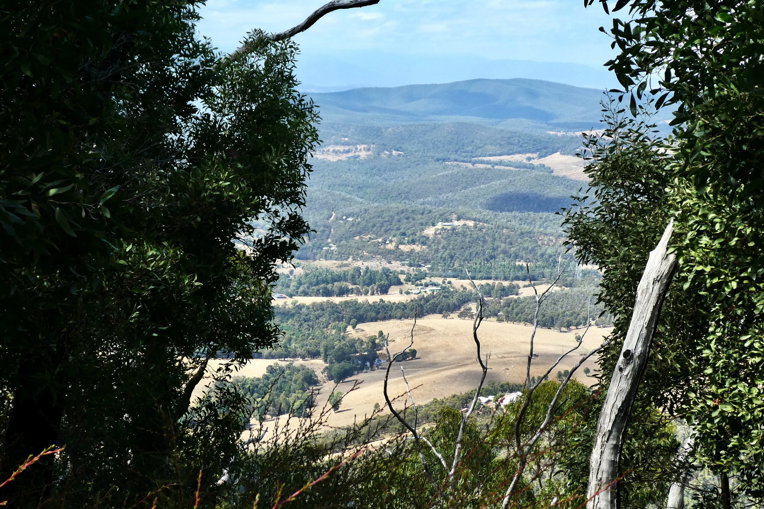
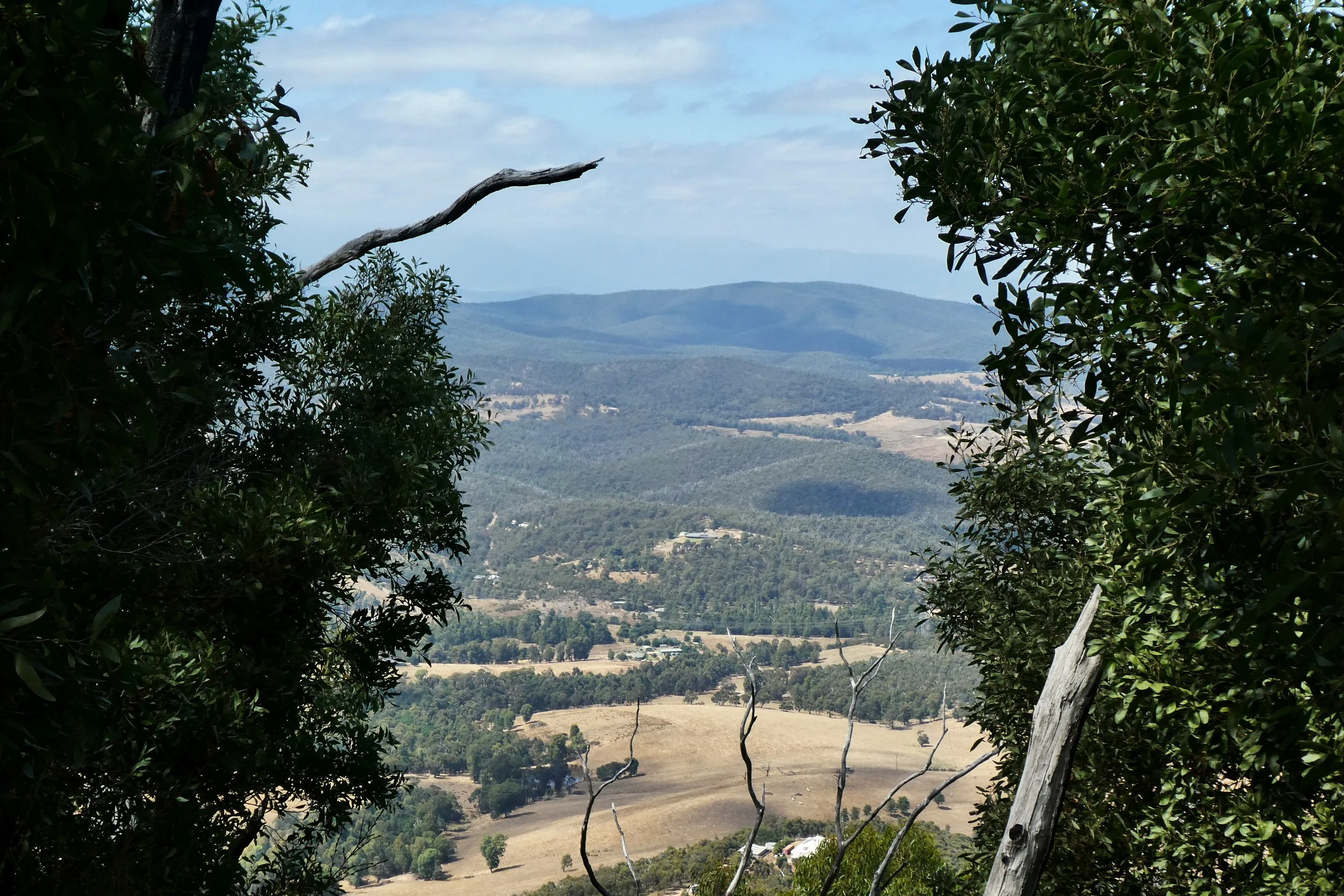
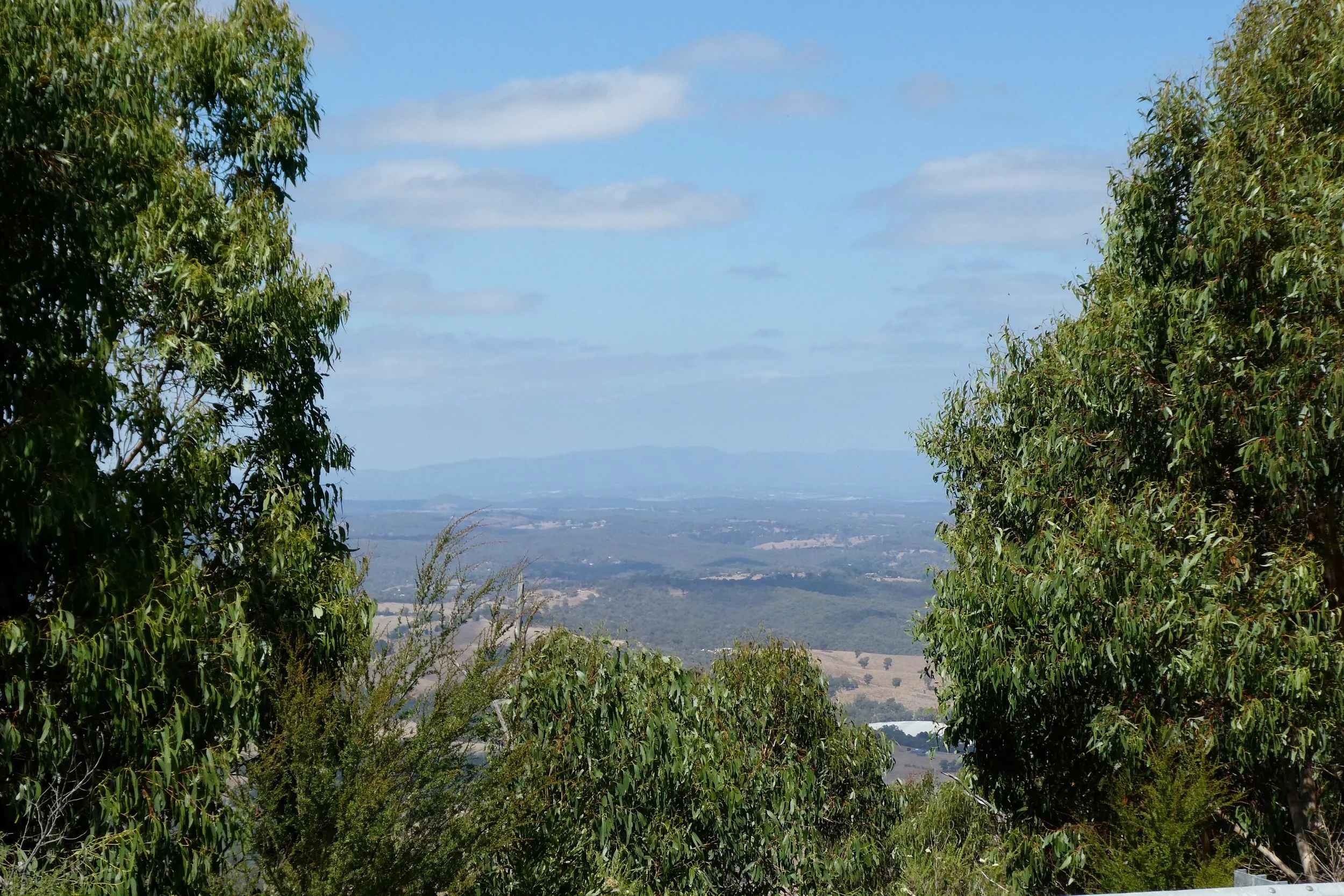
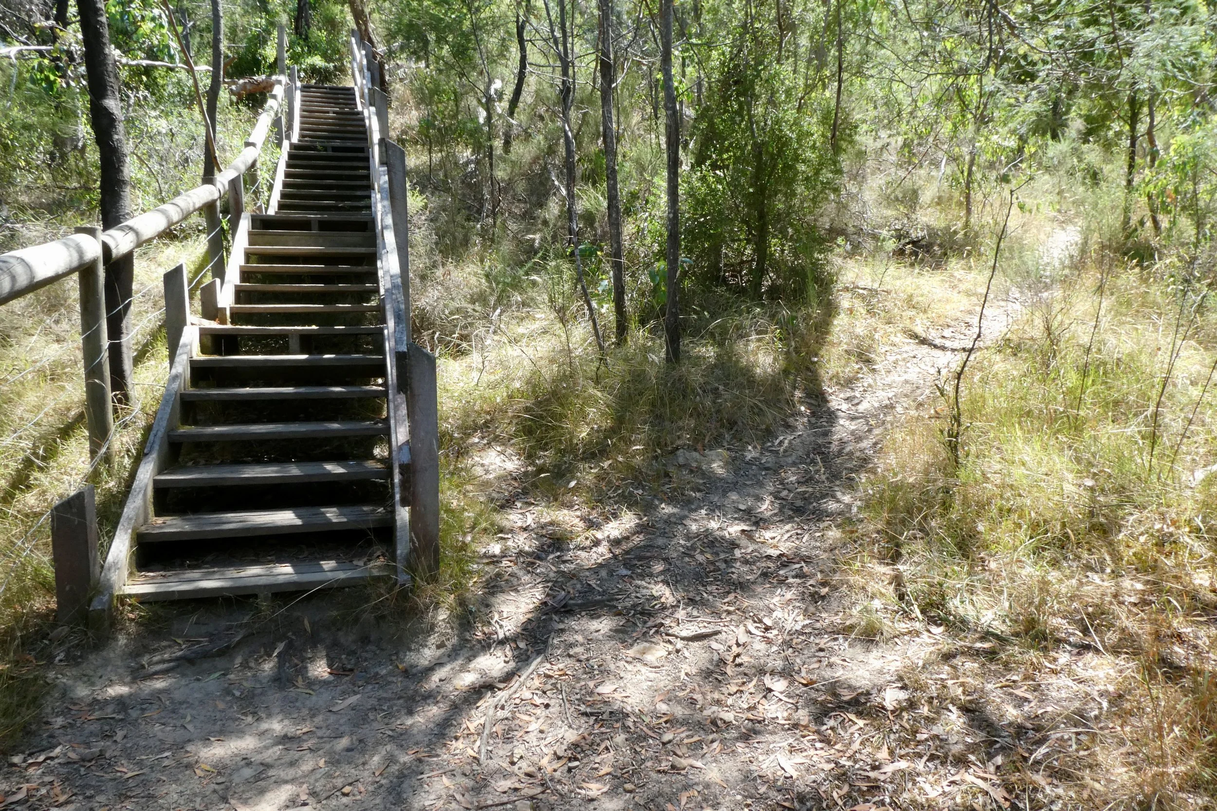
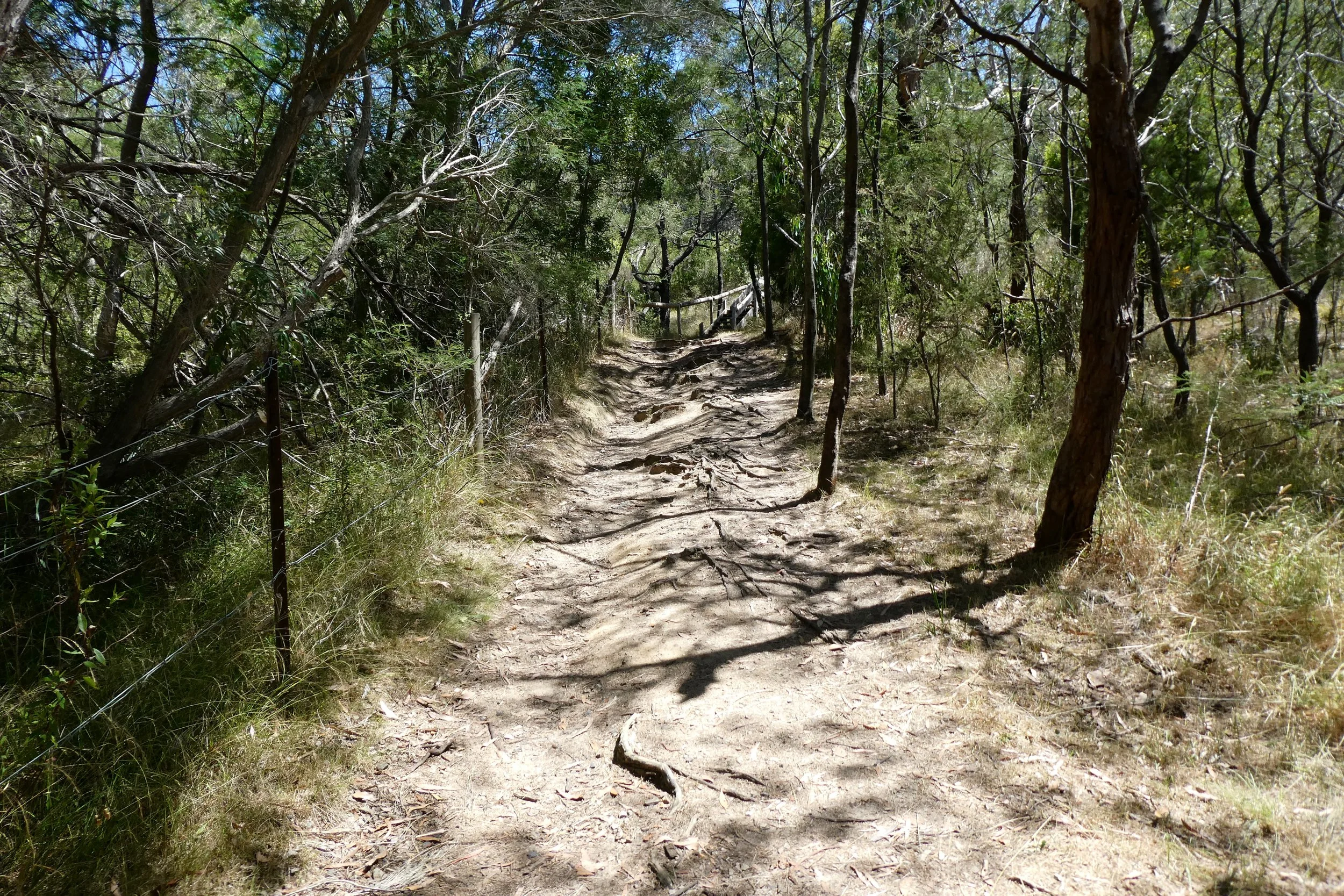
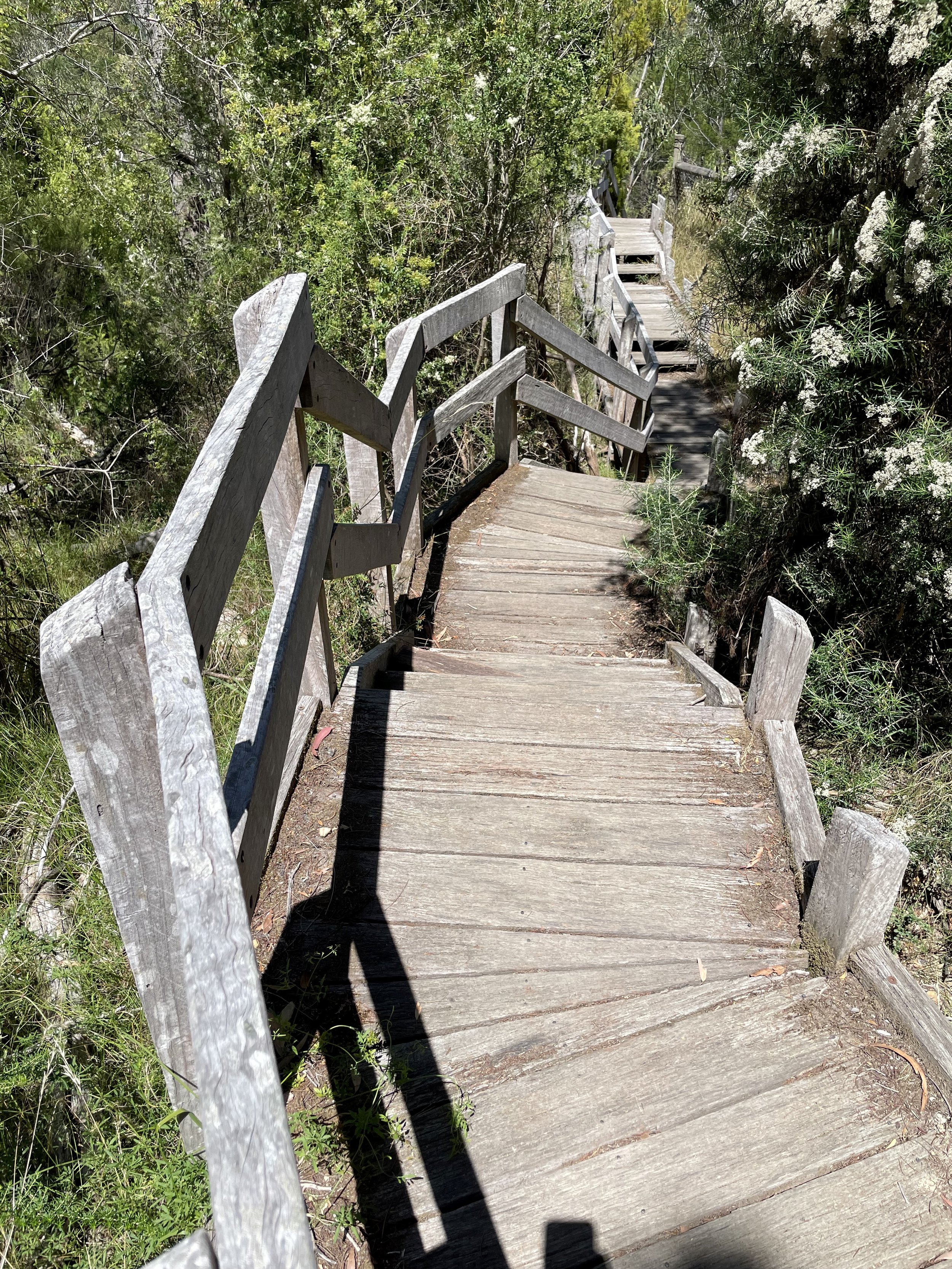
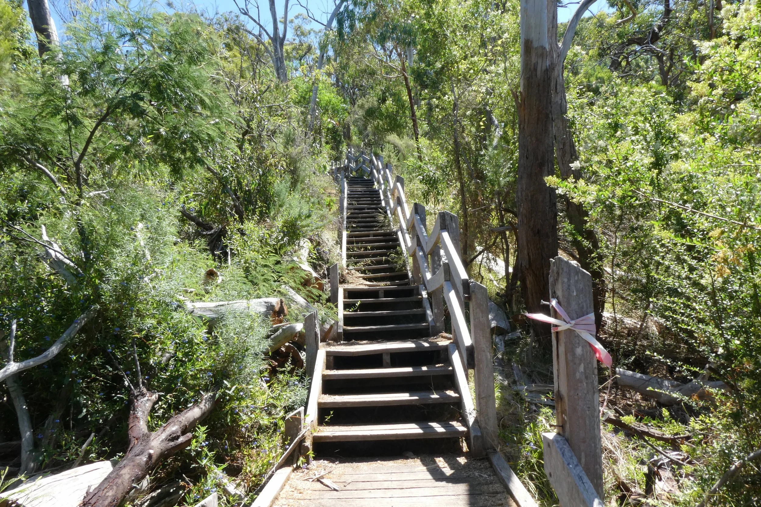
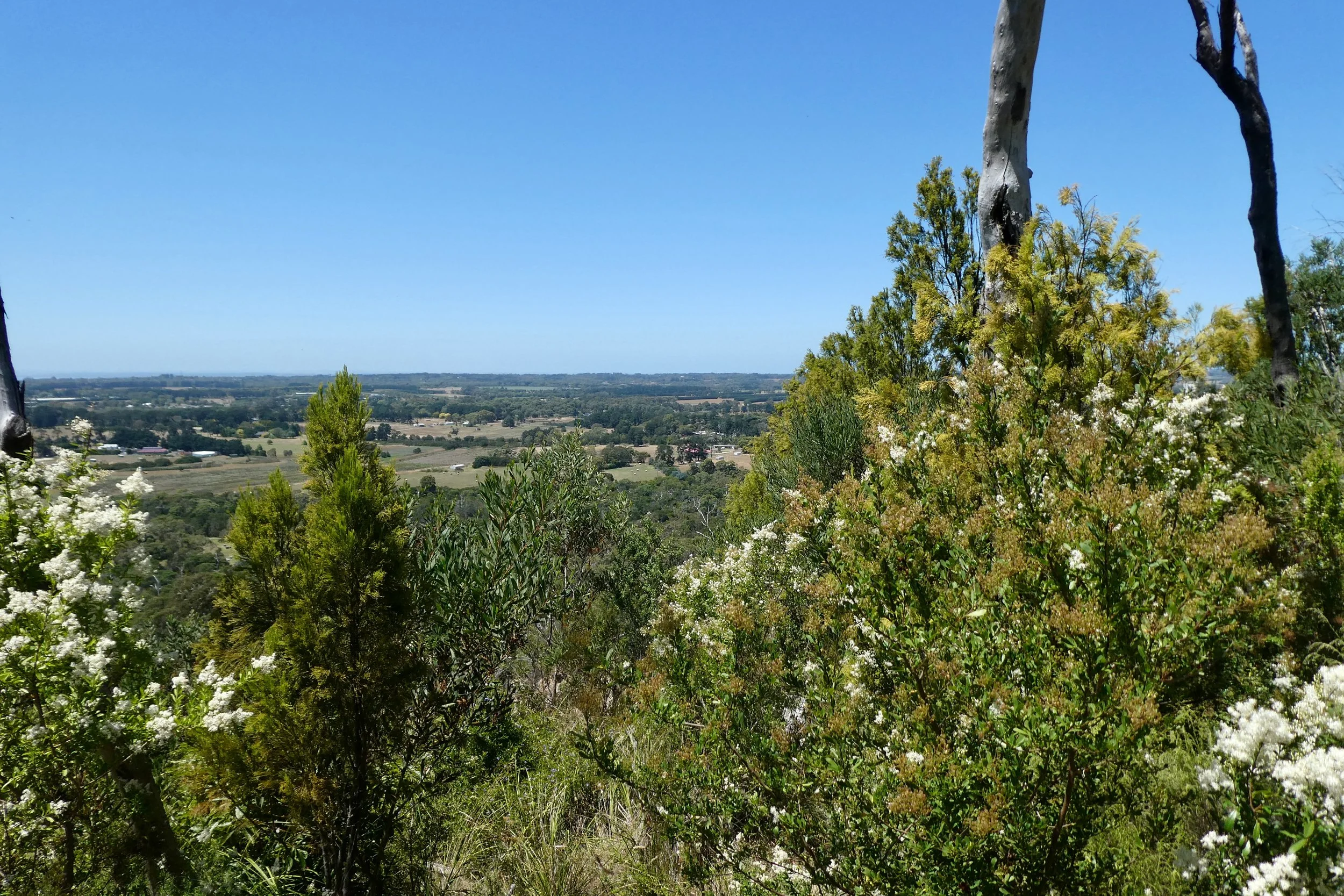
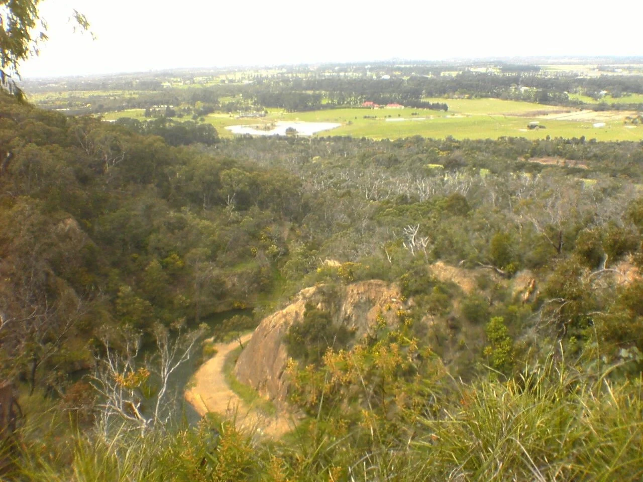
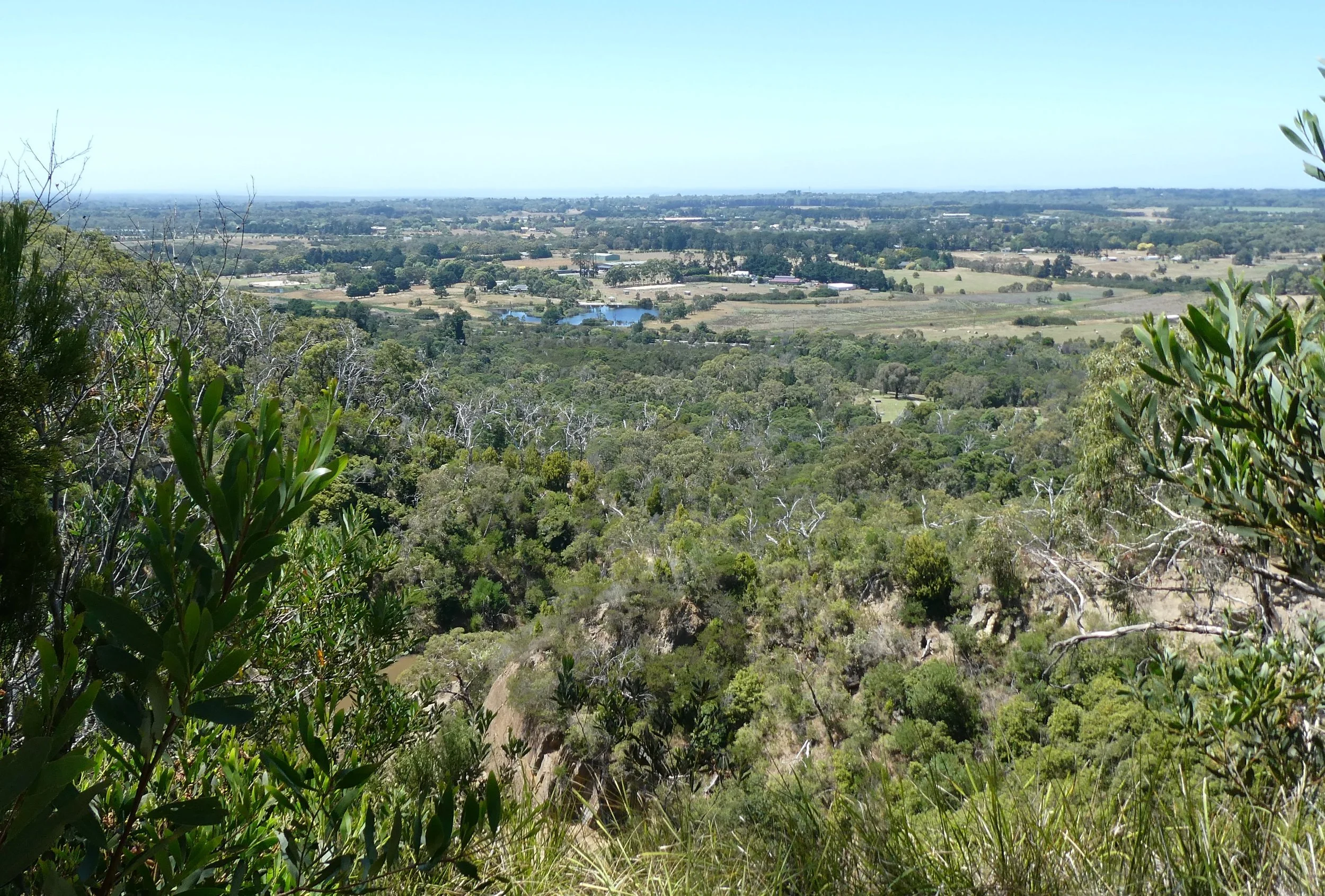
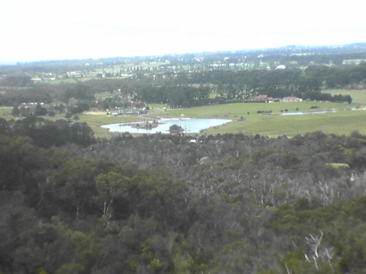
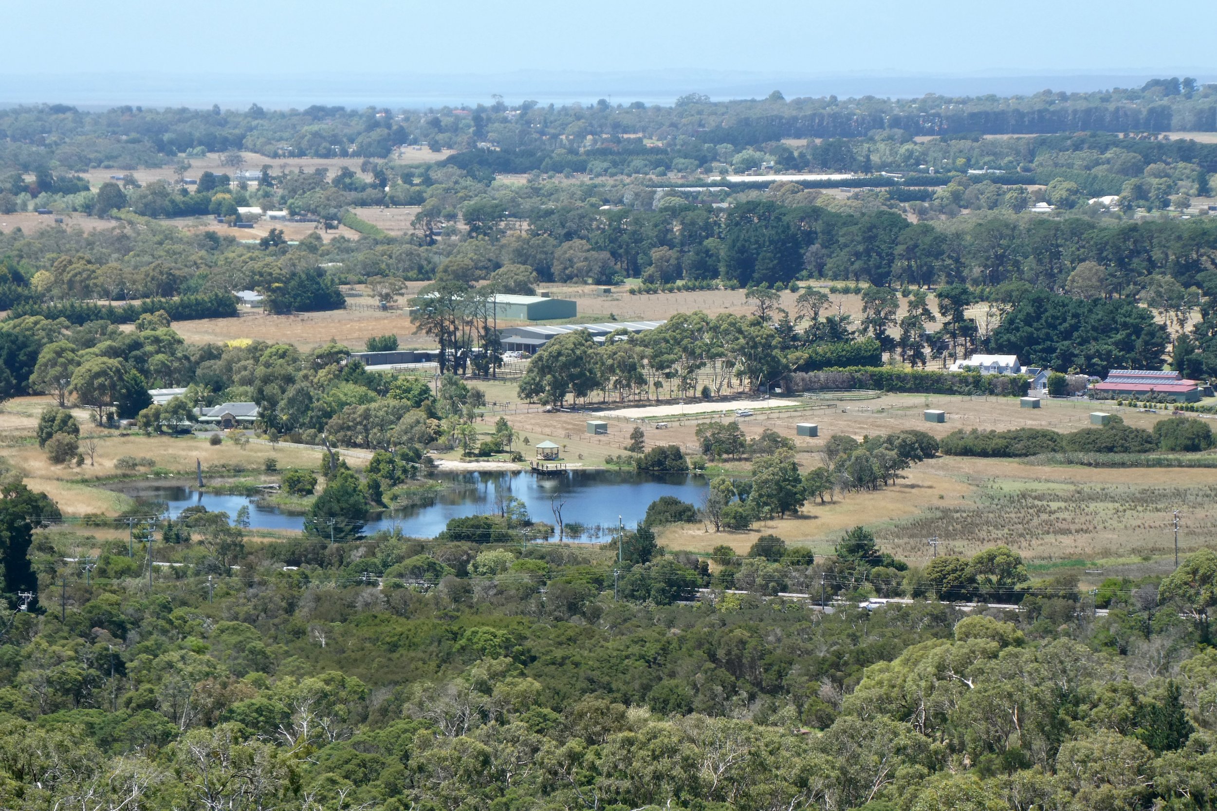
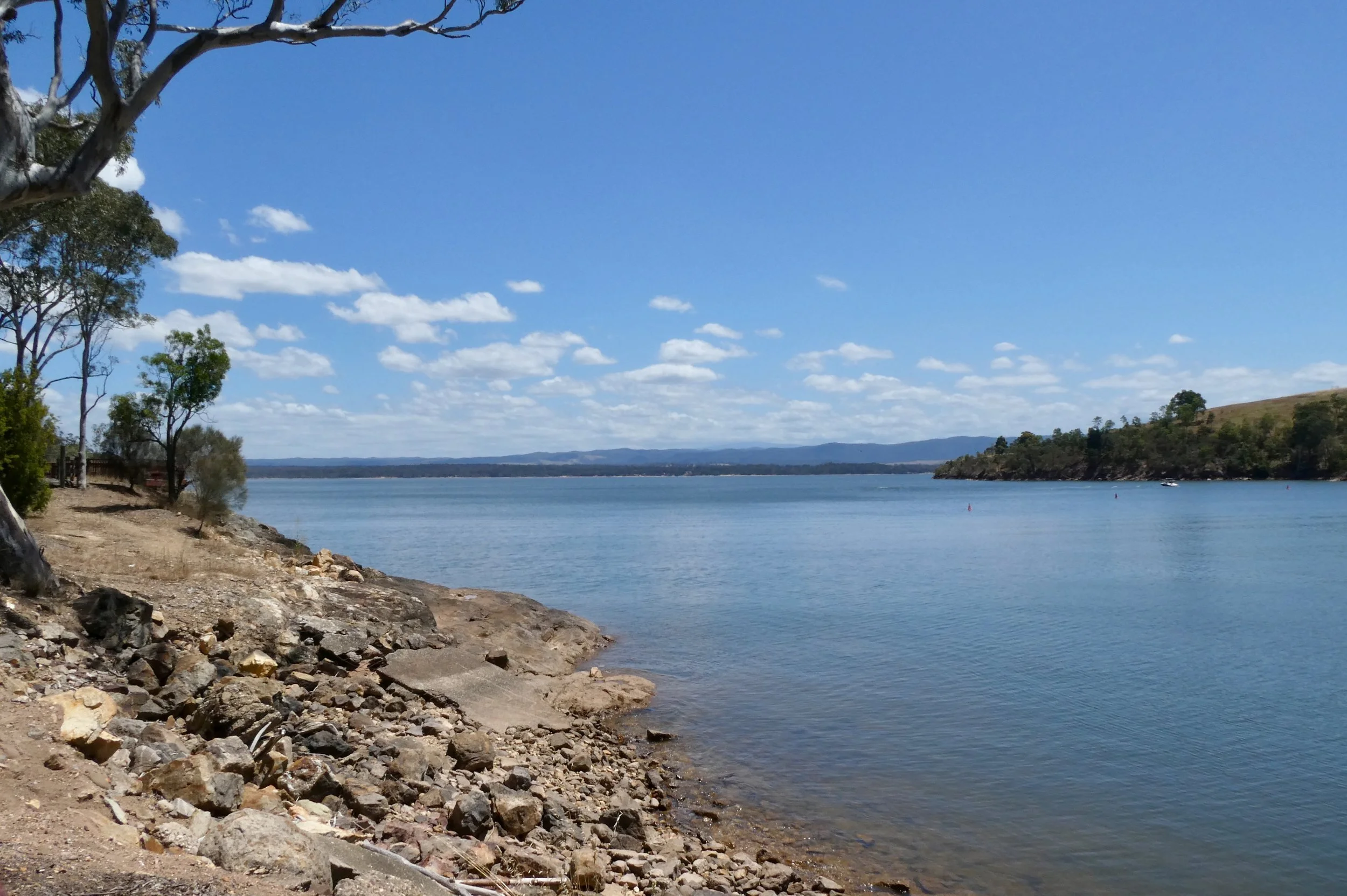
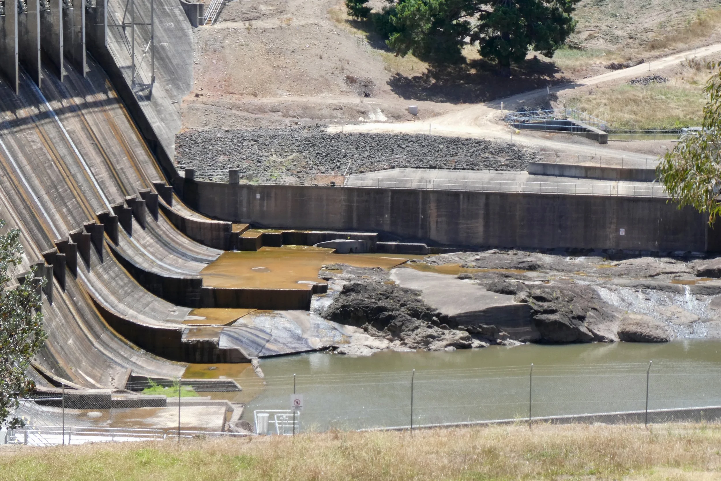
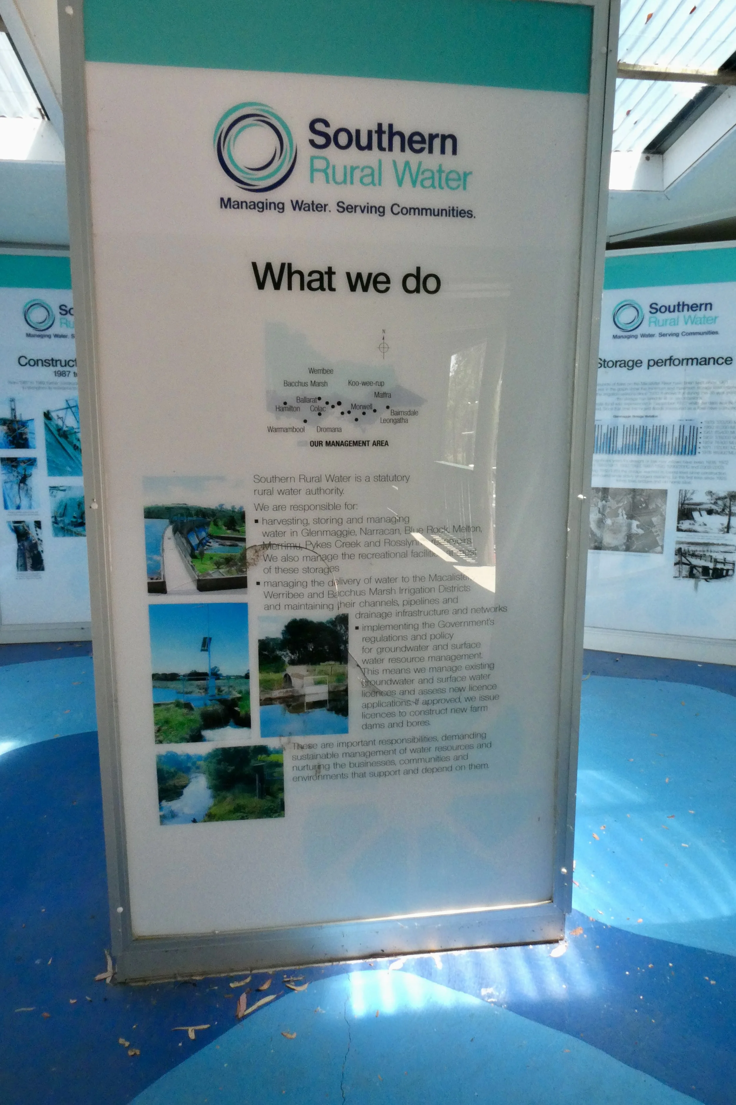
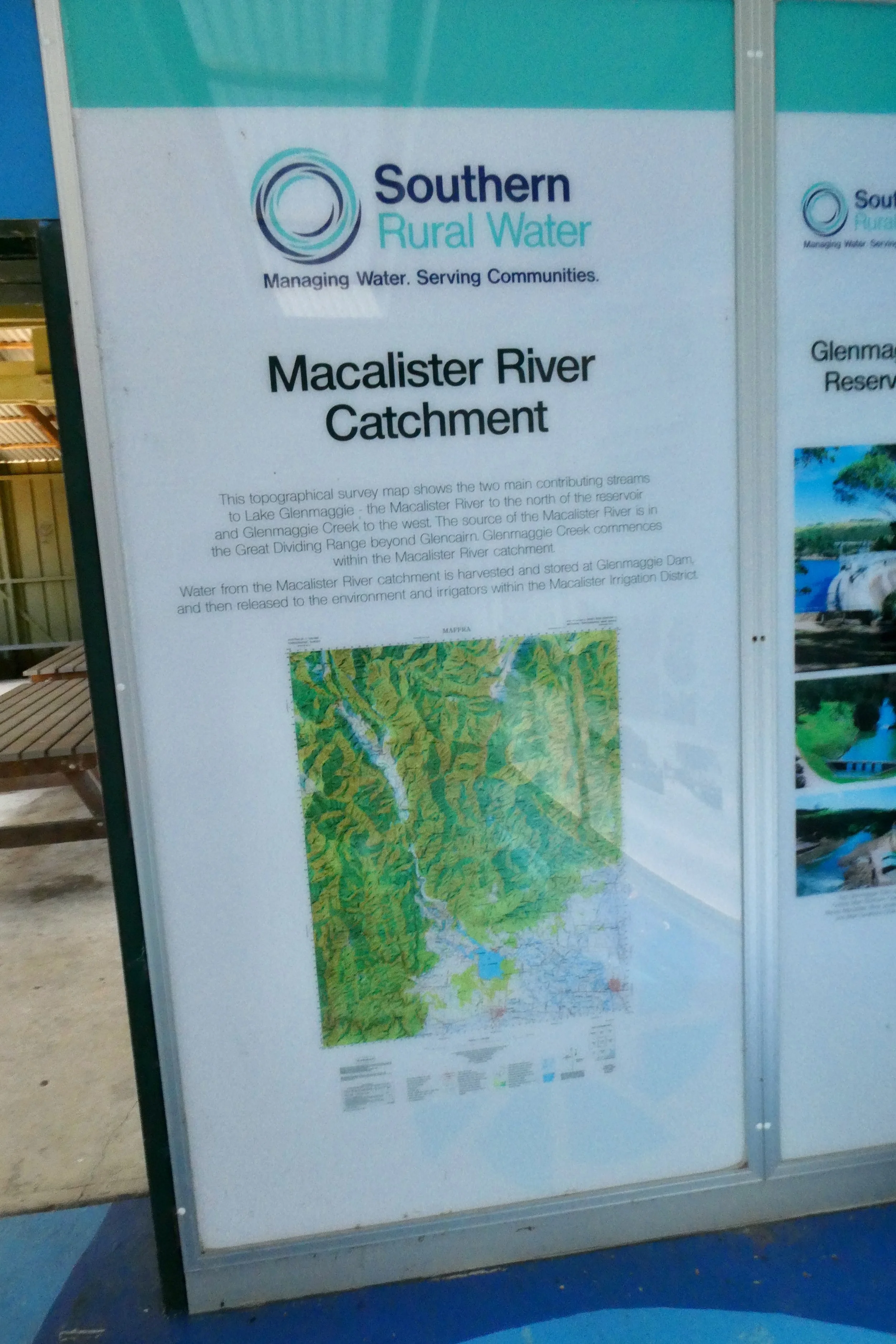
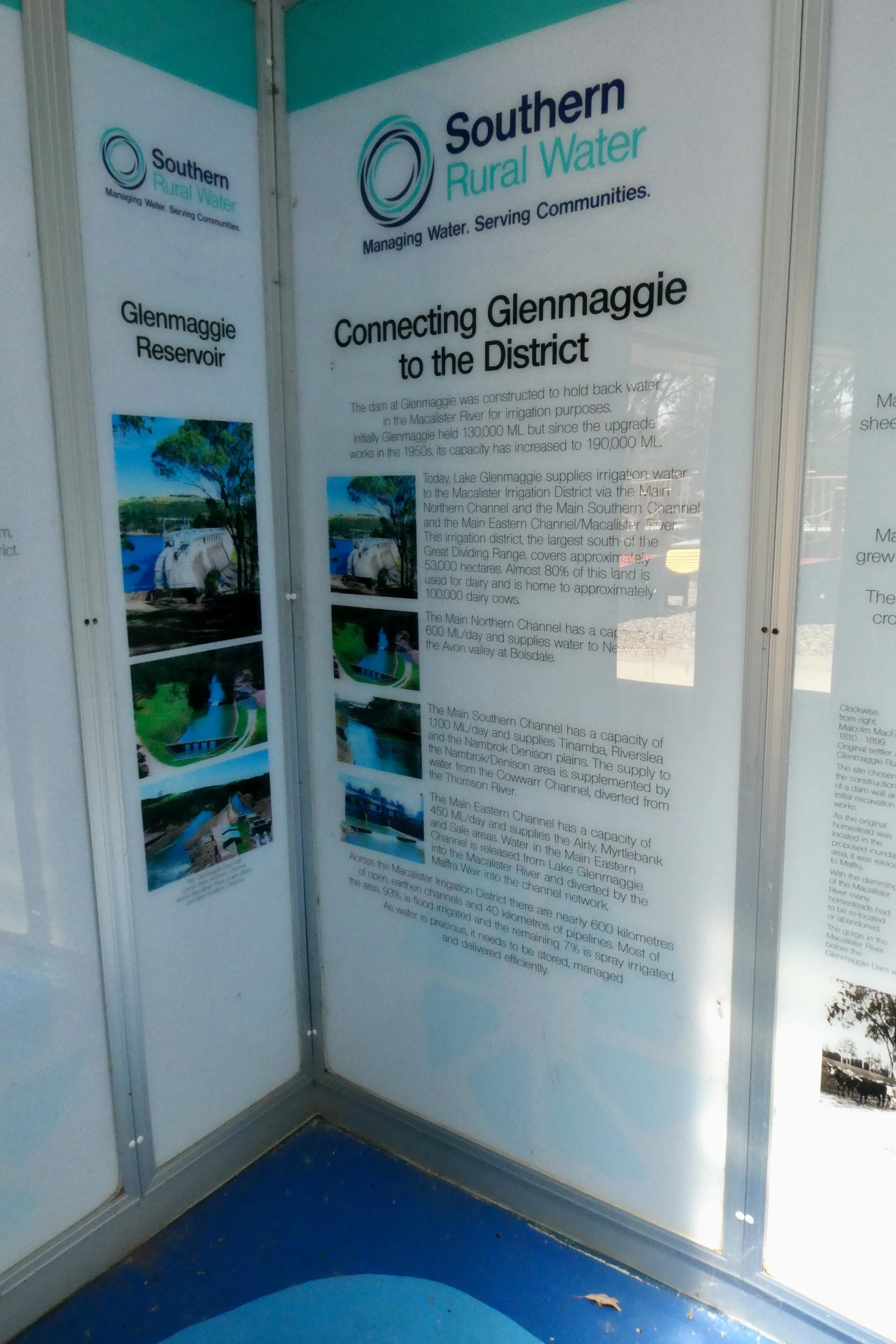
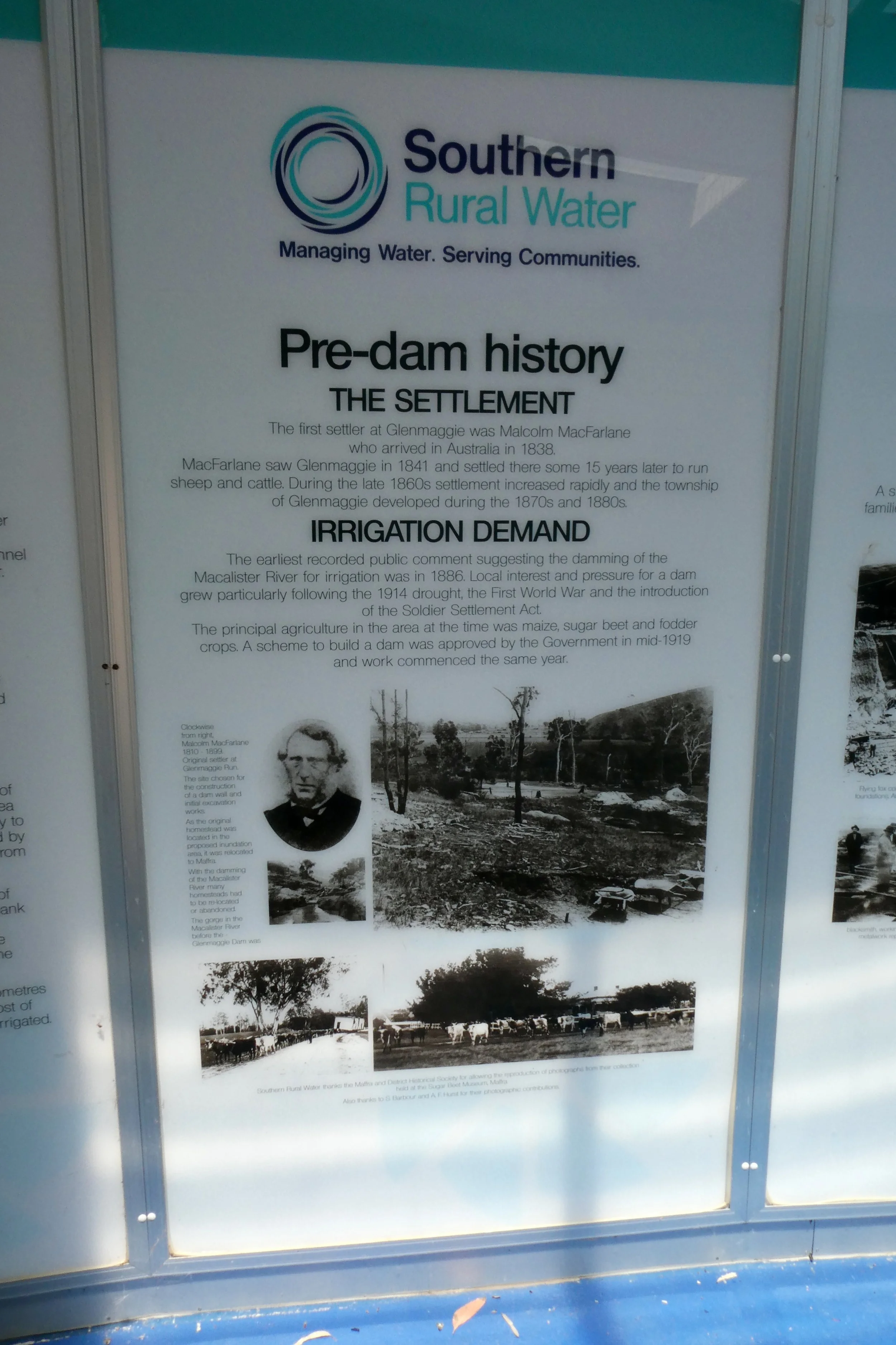
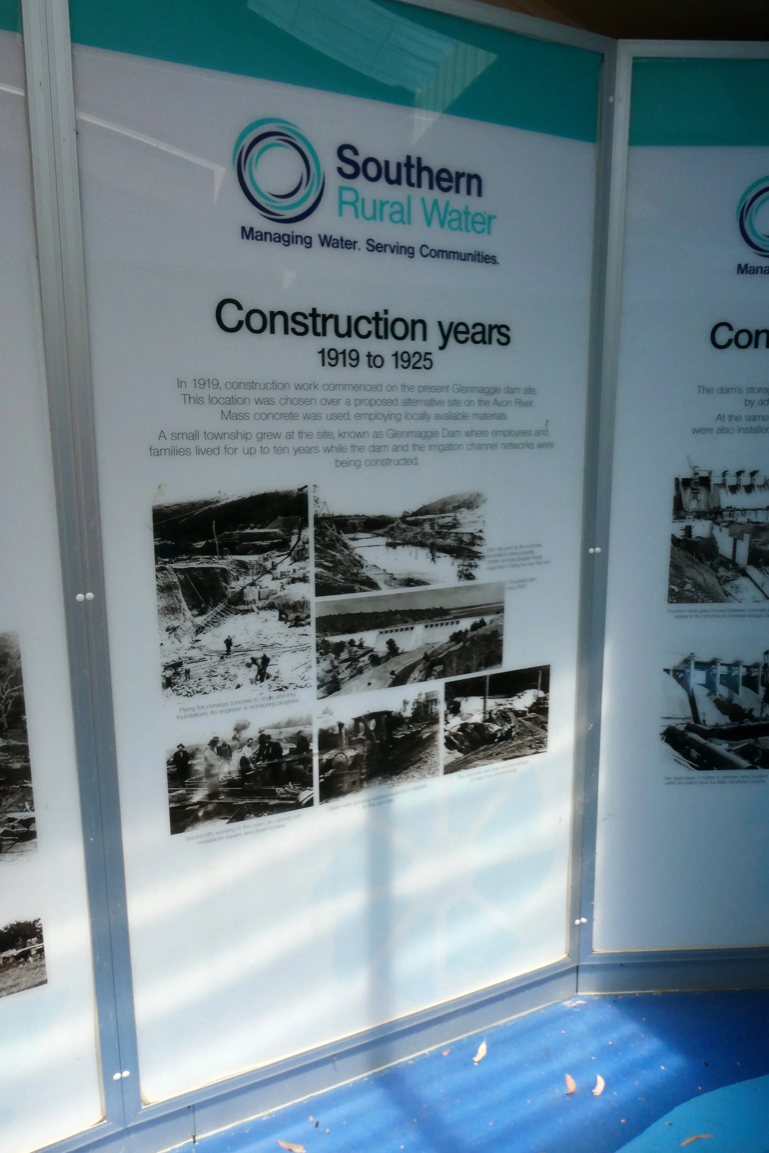
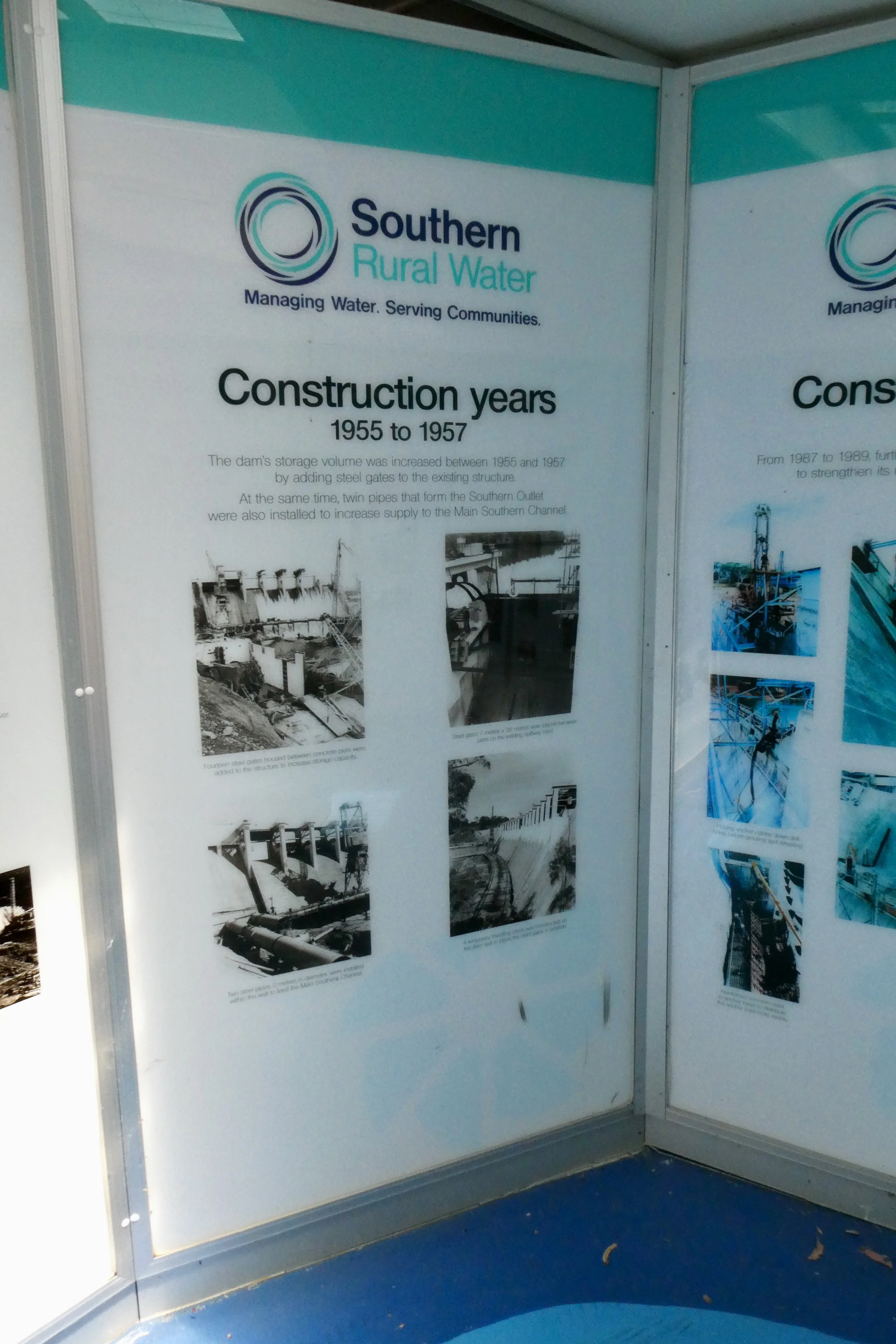
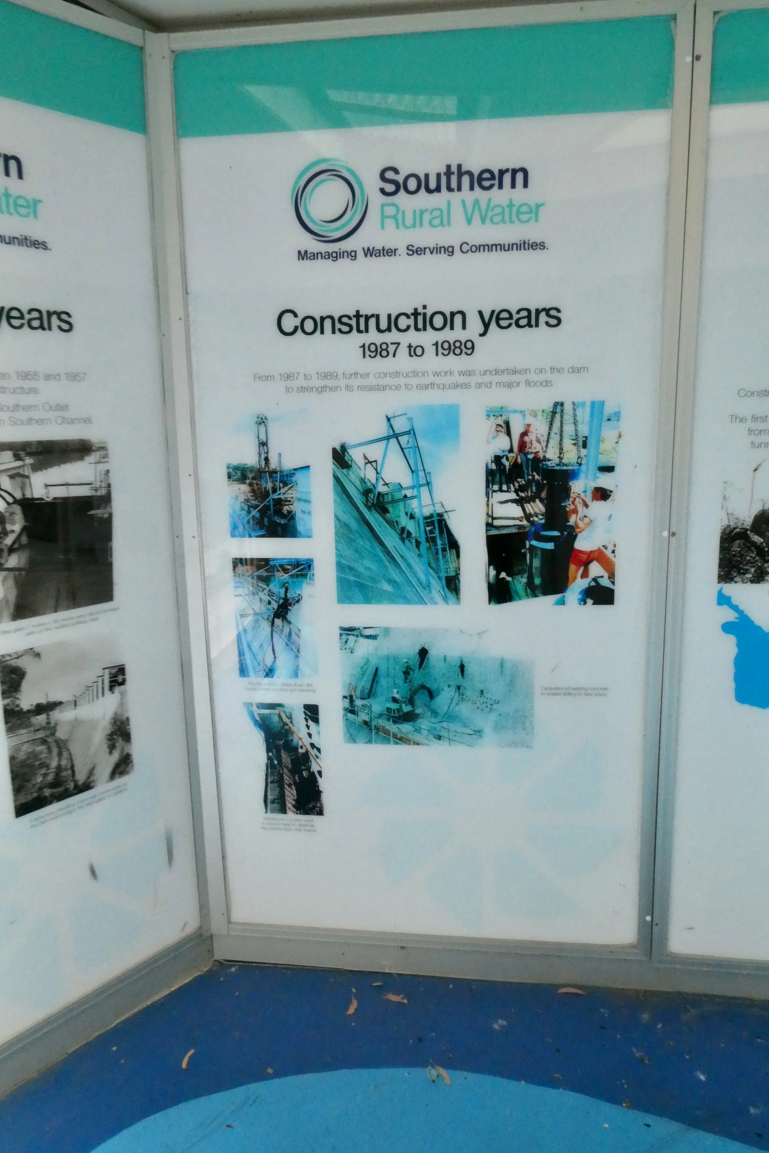
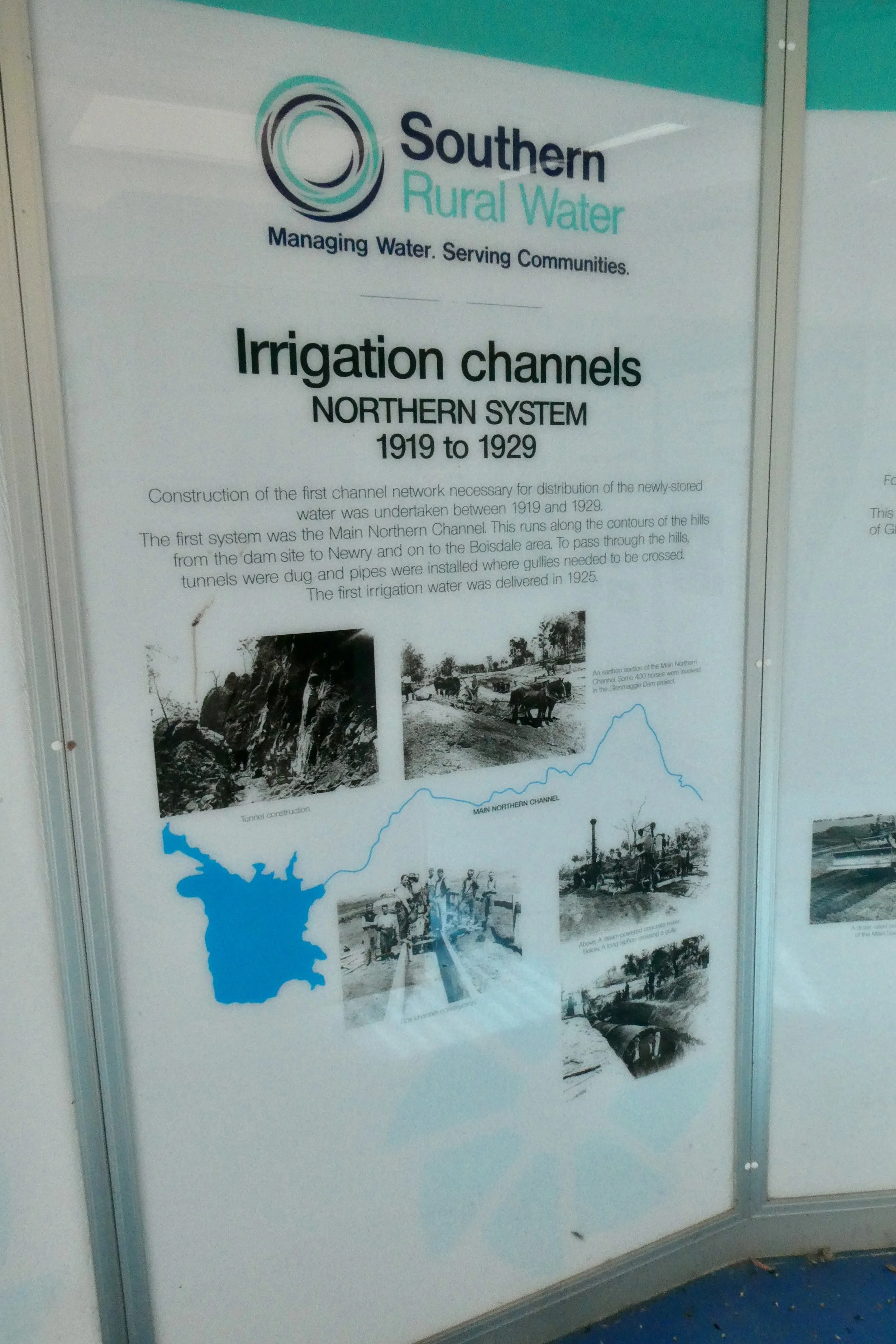
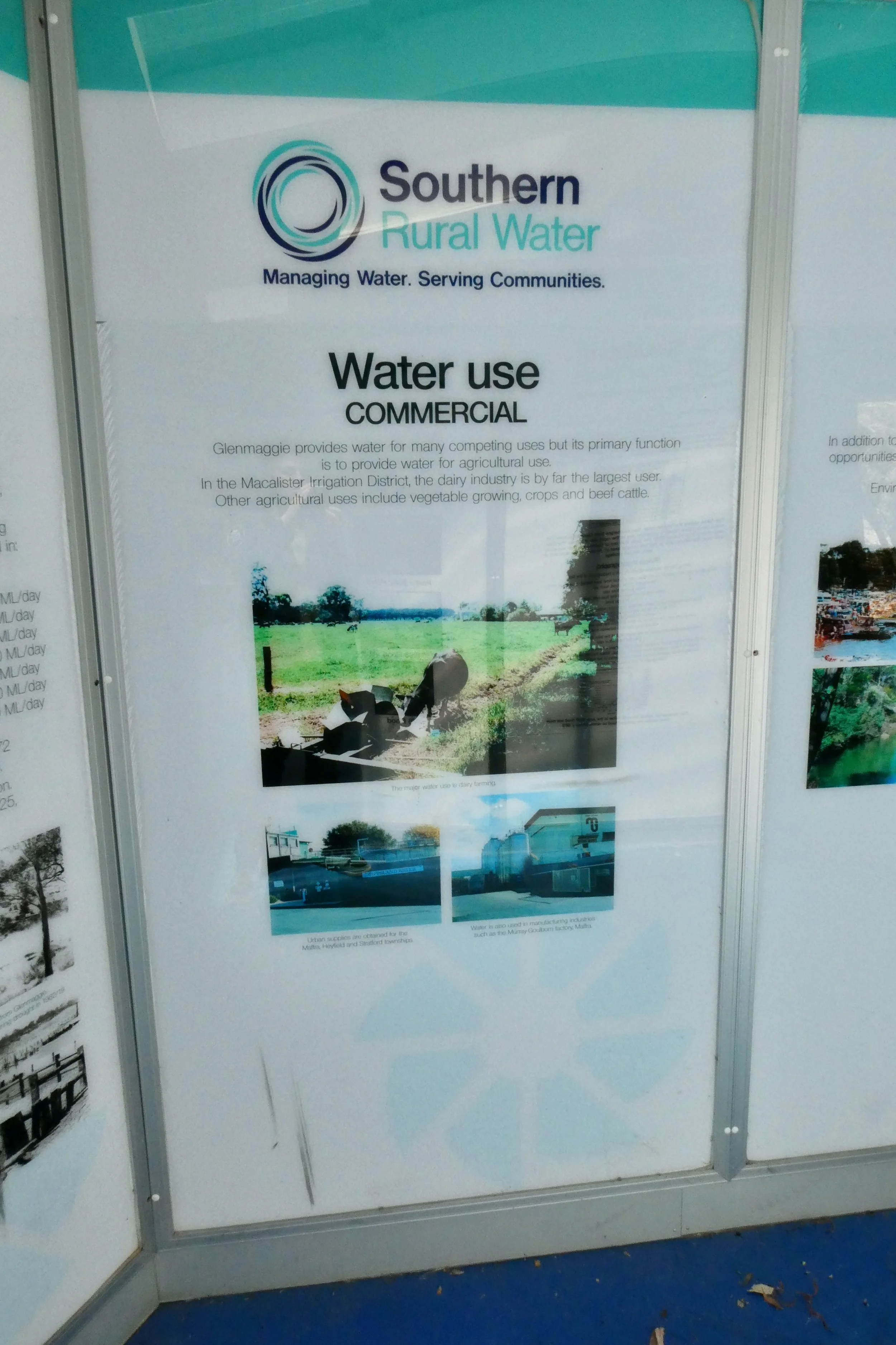
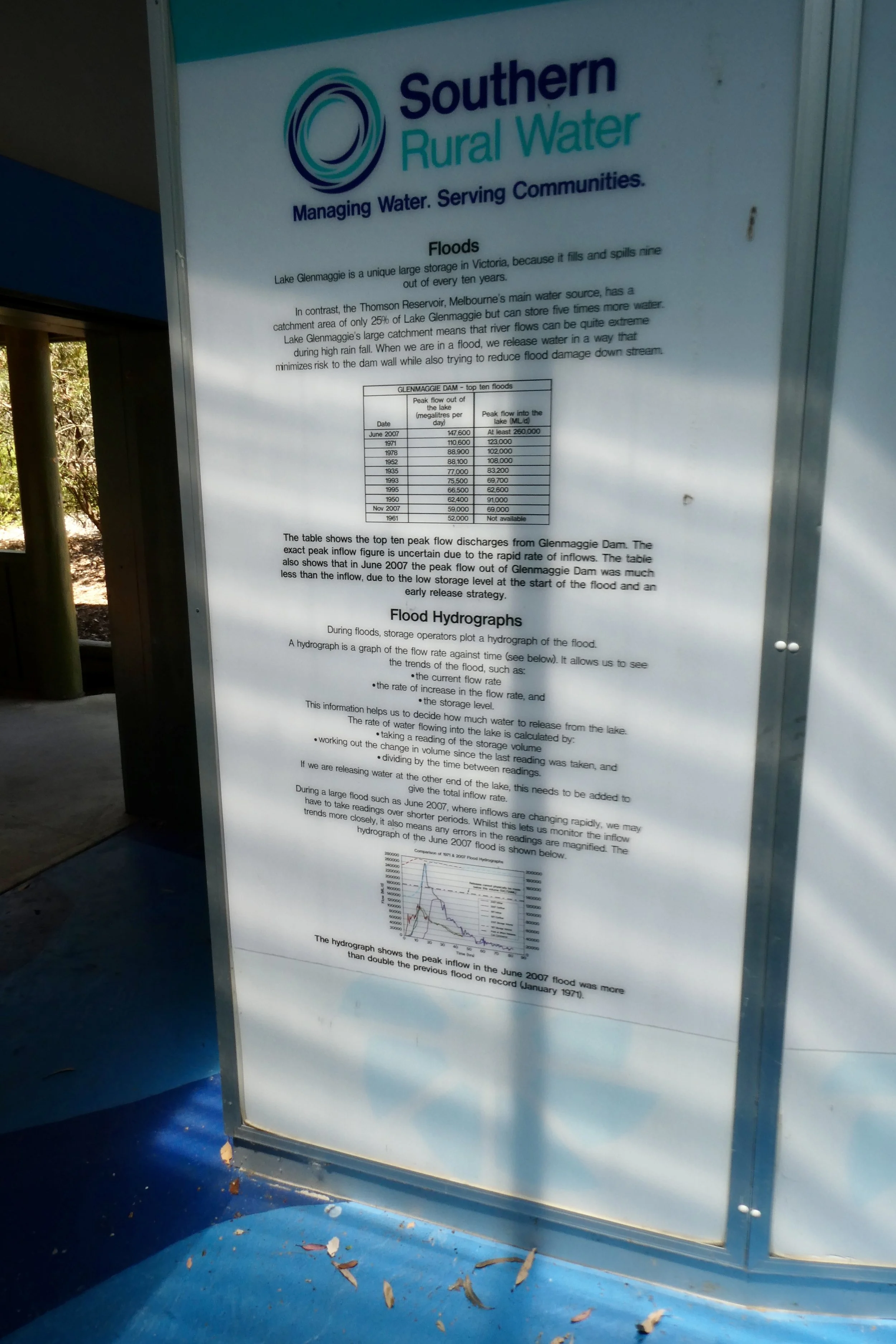
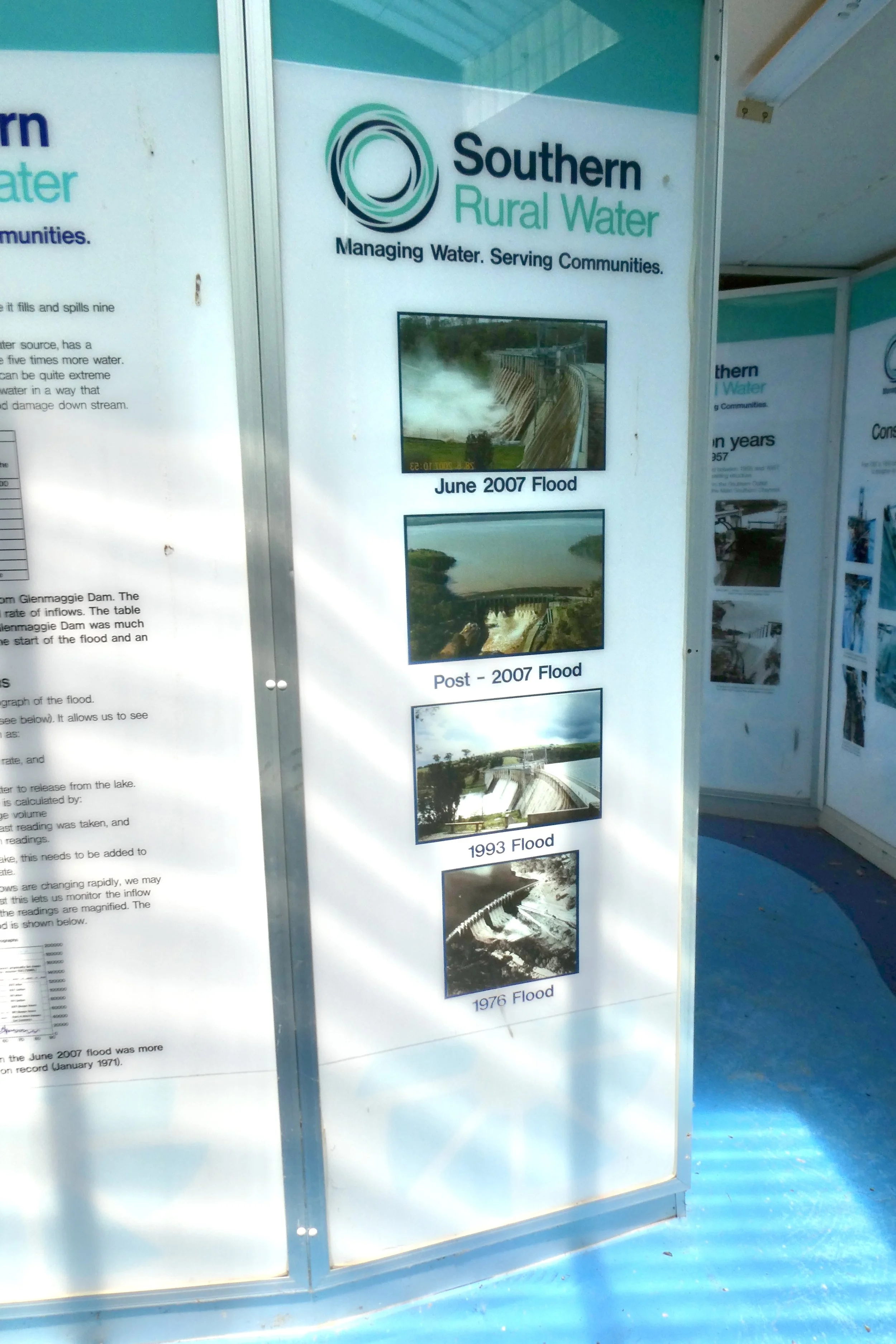
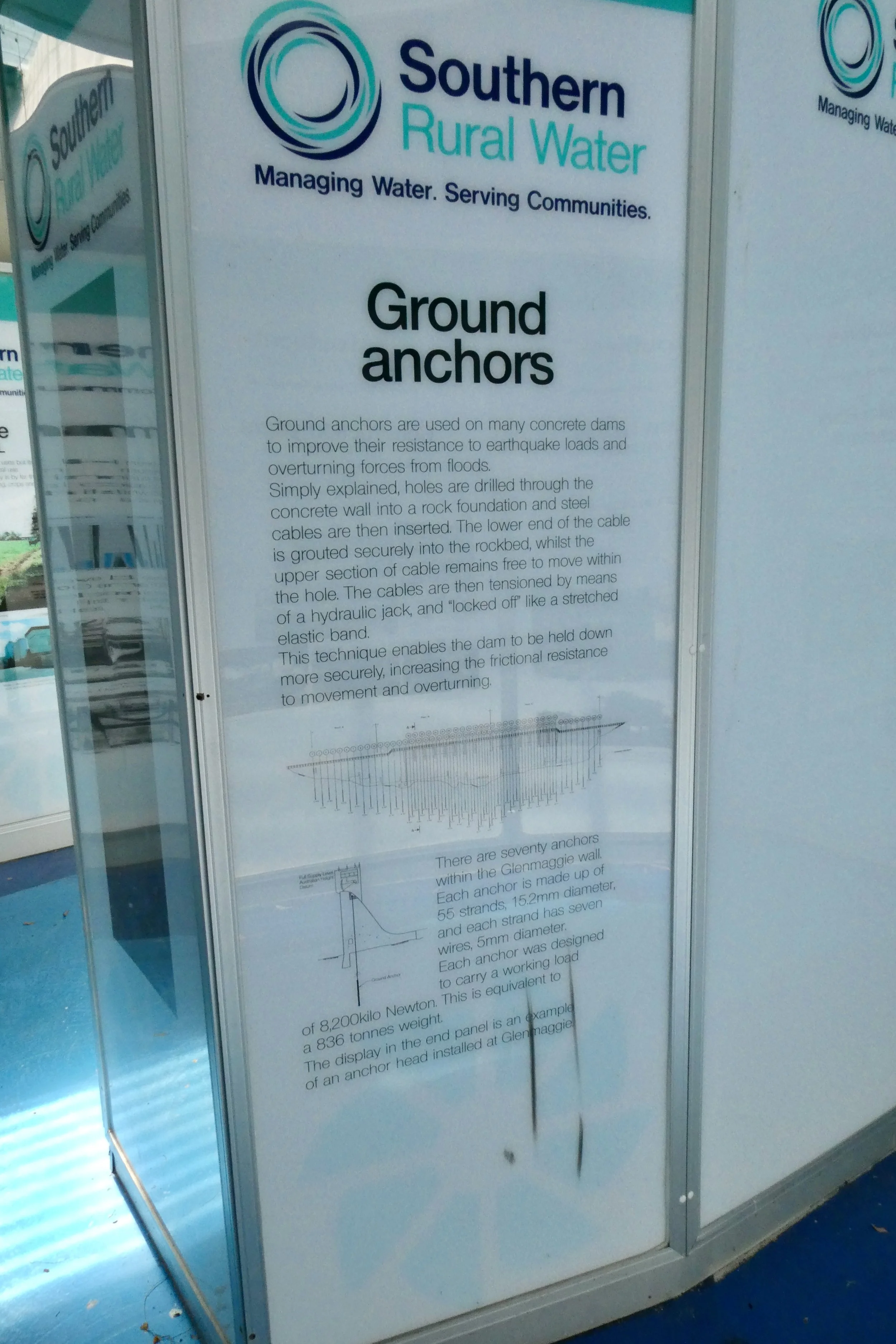
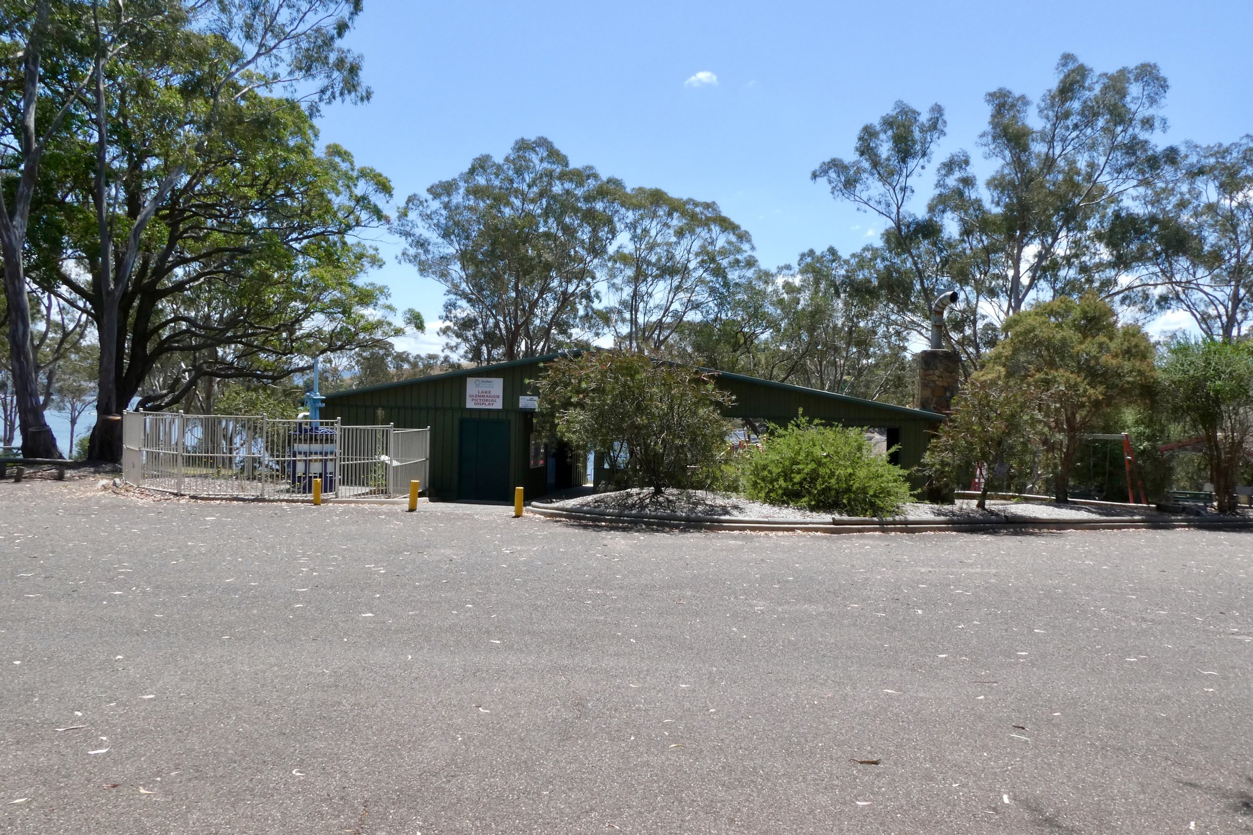
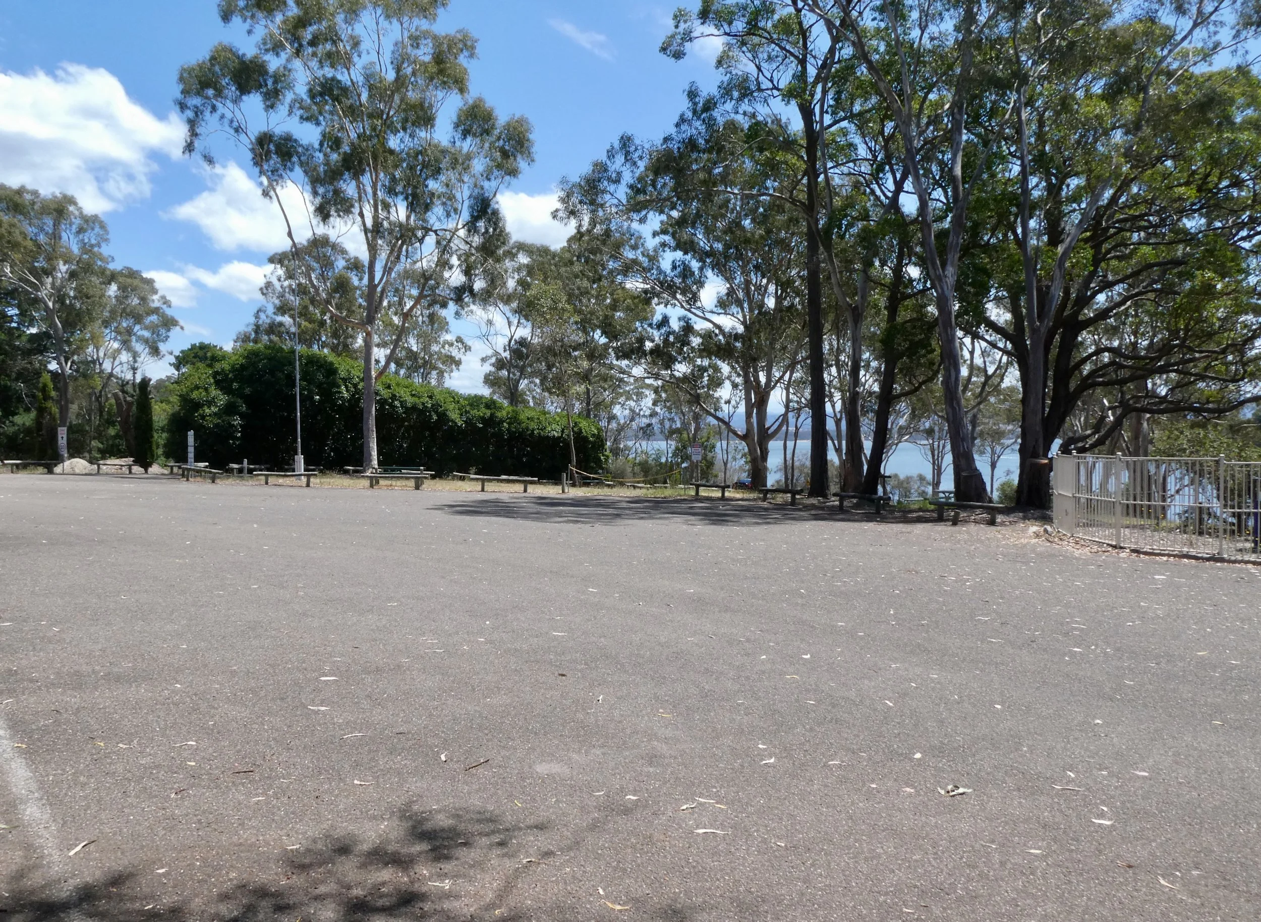
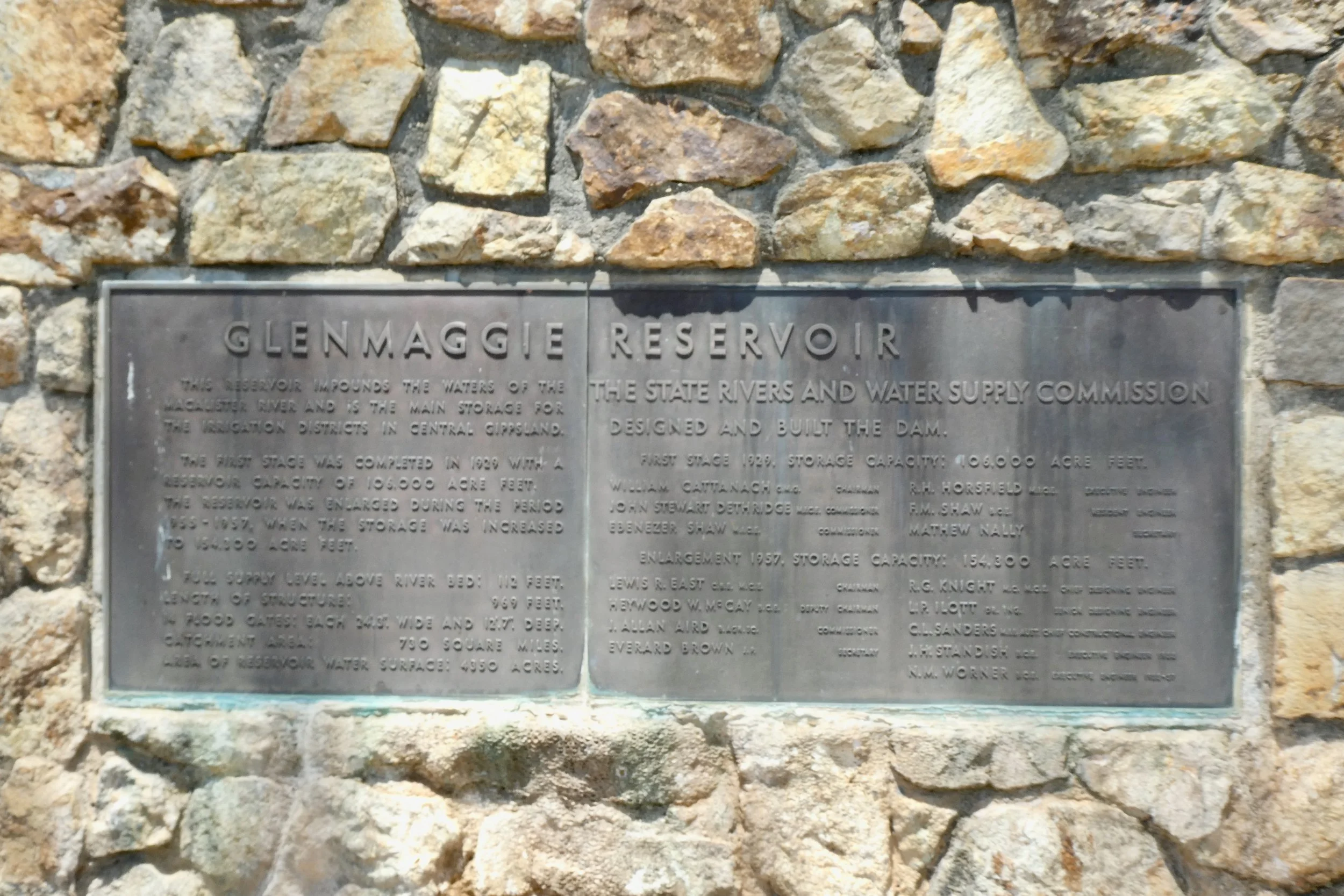
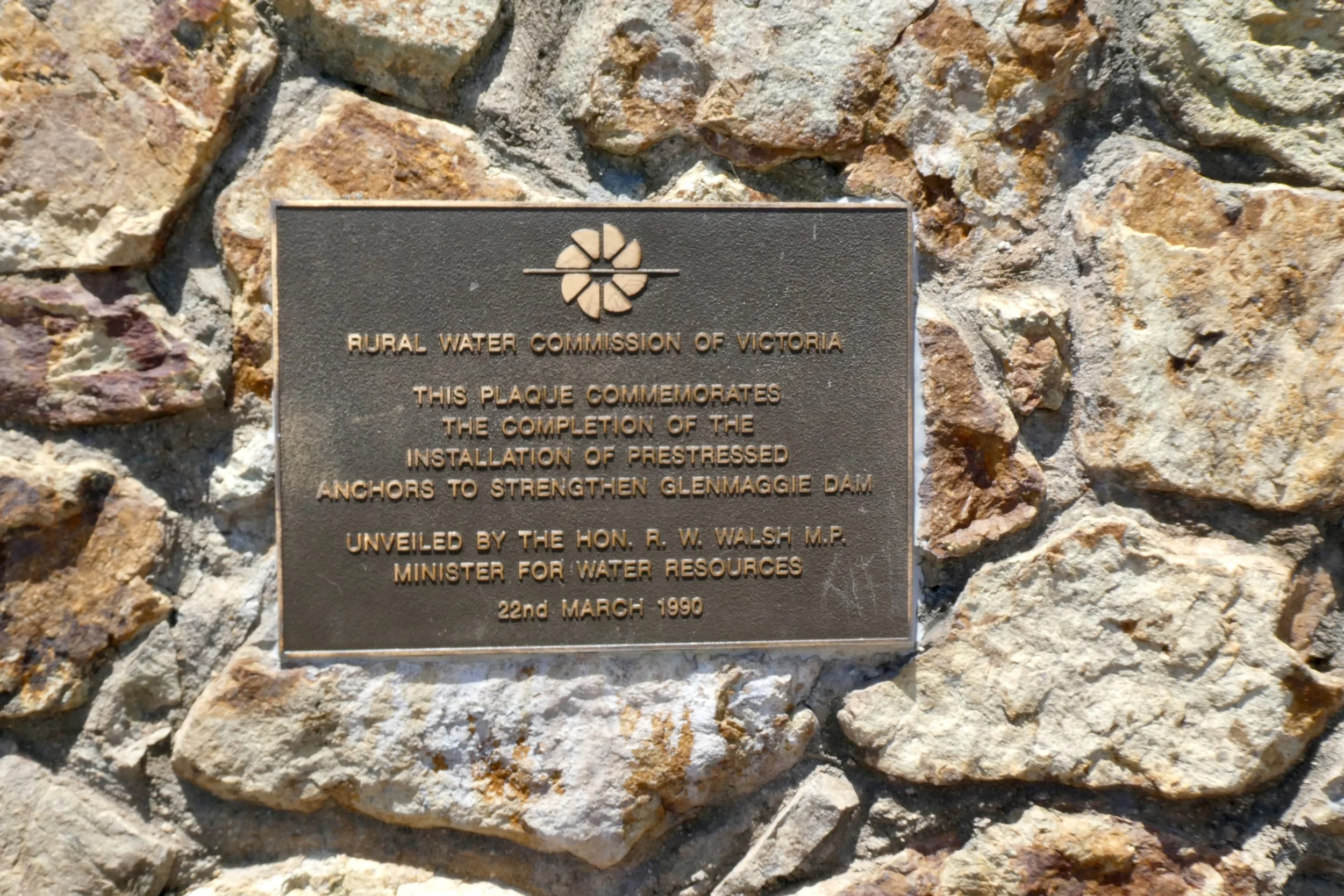
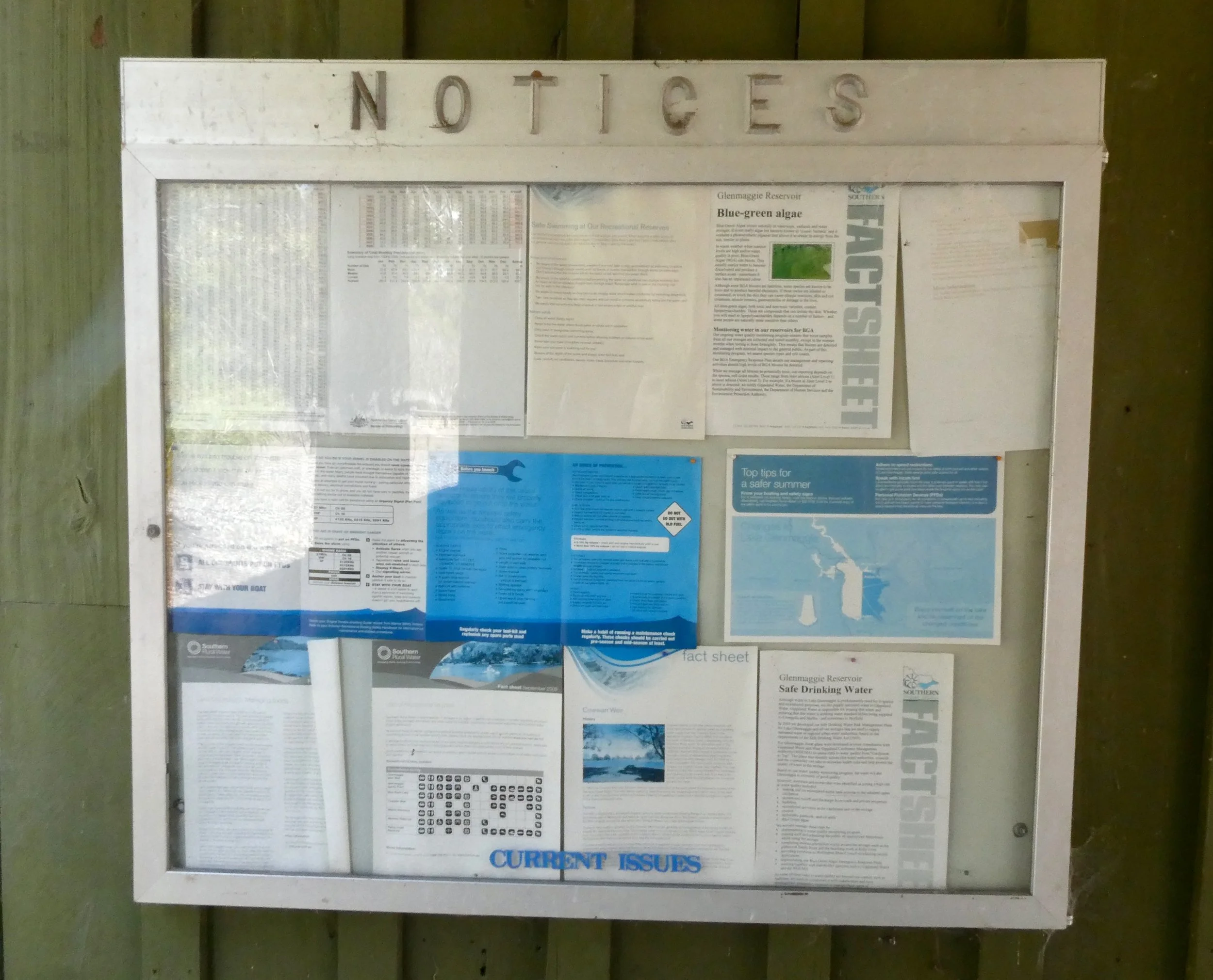
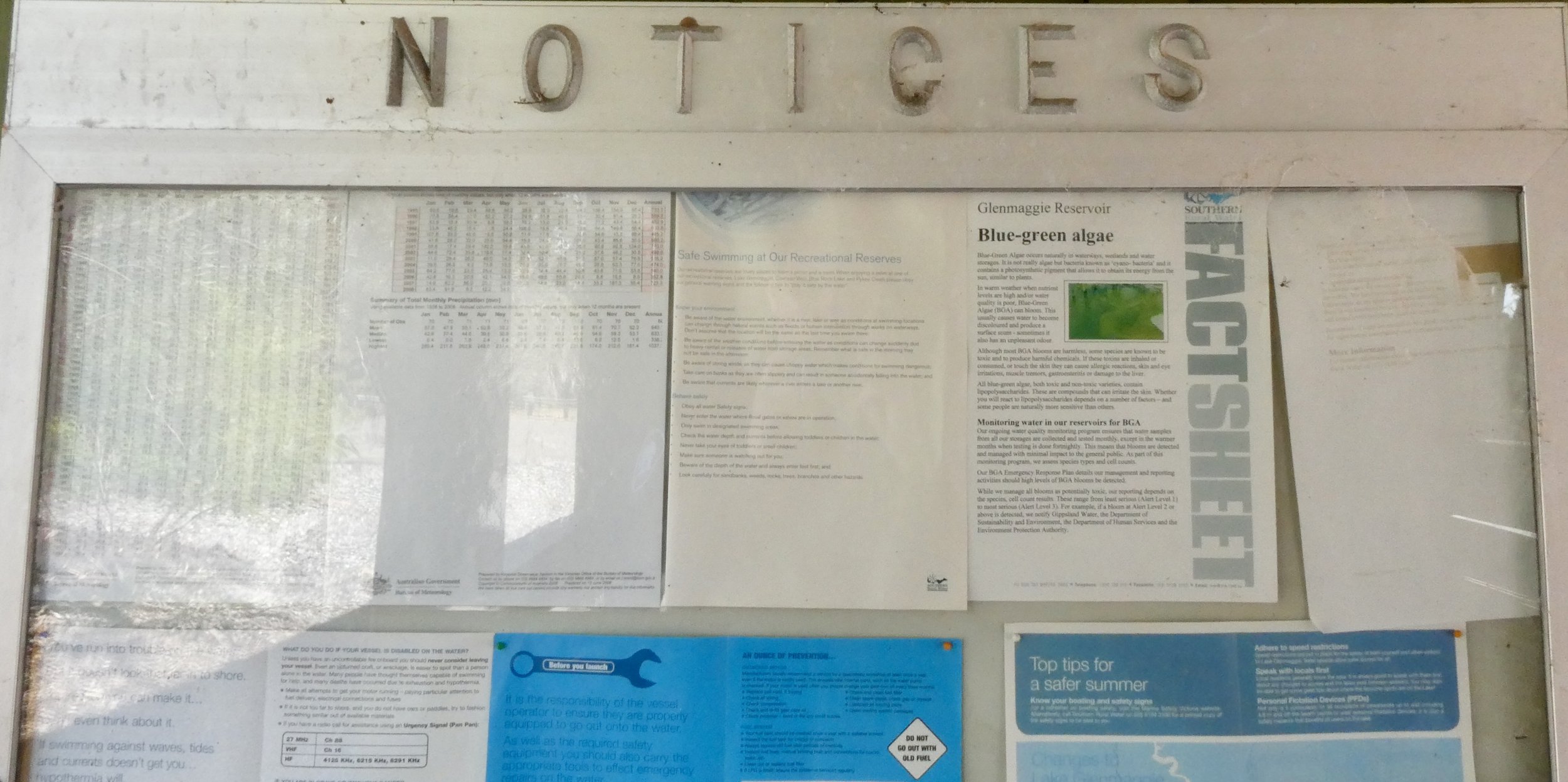
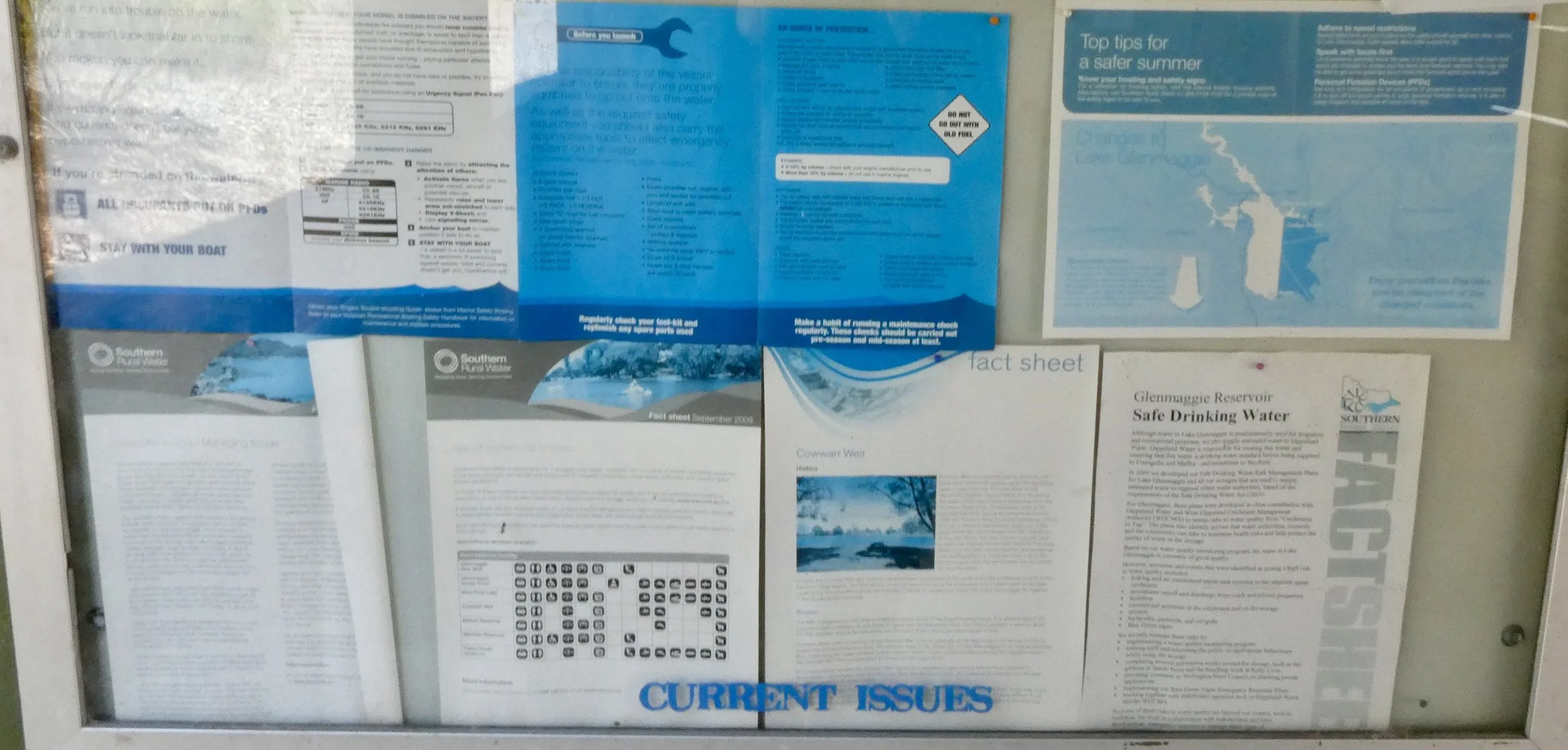
Lake Glenmaggie and Mount Sugarloaf don't feel like things I did at the start of the year, those places still feel recent in my memories, I can still feel the texture of the rock wall at Glenmaggie, the car park at Mount Sugarloaf. Still recall the smell of the steam, oil and fire at Steamfest.

Agnes Falls was a long drive out there, and then up to July after that it really does feel recent.

But I think this is good, they're new memories, new experiences.

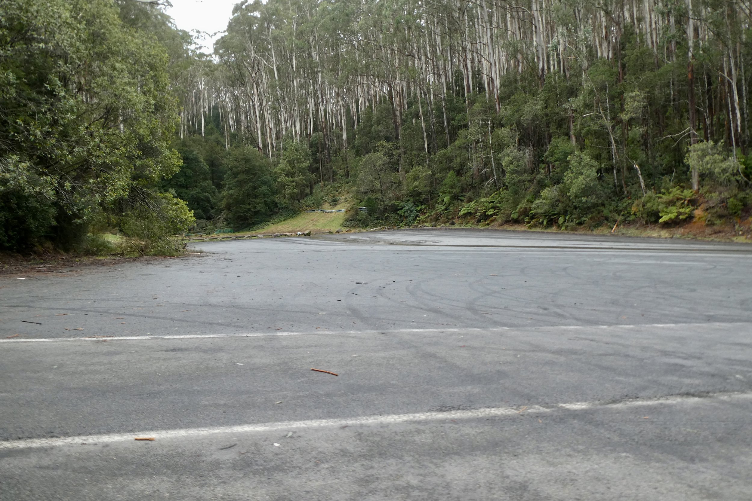
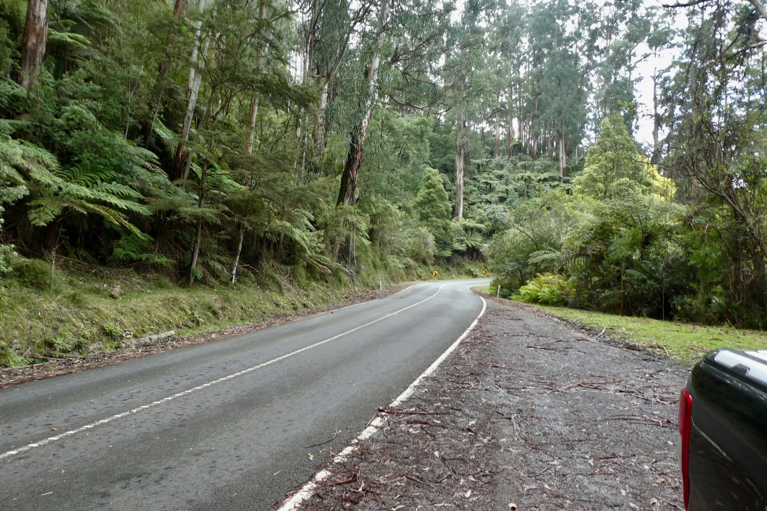
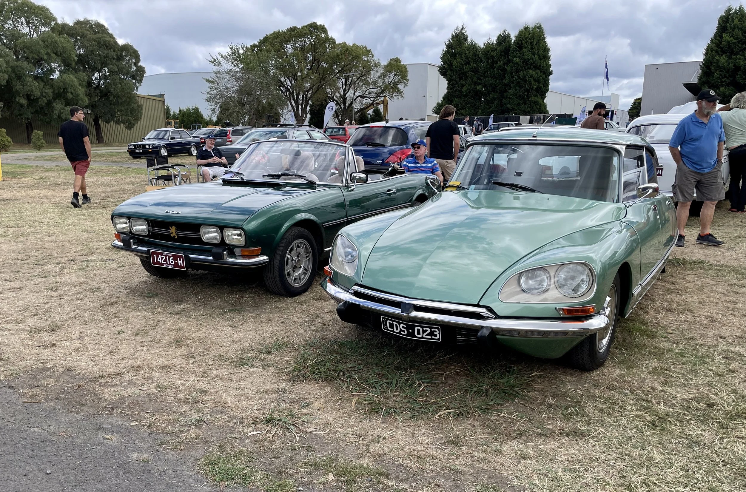
I didn't do as many road trips as I had intended, although did do a Canberra road trip twice. The first of which didn't go to plan, but it still taught me some things, and failure is something to learn from. The second trip was more successful.

Ikea Springvale car park.

There's stuff I did, which I haven't written about, just because it's more mundane things, like weeding in the garden, going to a nursery or trying to find something in Bunnings or Ikea. Times I went out and did stuff, but it's just not stuff that needs sharing, and/or it's something I didn't think I could spin into content.

What has happened though is through some of these new adventures it's inspired me for other road trips and other research projects.

2024 will be some more adventures, new and otherwise, more road trips, and more attempts to have some experiences out and about.

Yallourn Power Station

I drove past Yallourn Power Station earlier in the year on my way up to Lake Glenmaggie and intended to come back and take some photos.

Yallourn Power Station from John Field Drive

There's something picturesque in its own way about it, especially on a sunny day. 

Or perhaps it's just that I have an odd sensibility for old industrial buildings. 

The roads that lead up to the power station are quite over engineered, there's a little underpass and everything, it's got a very 1970s road design aesthetic to its design.

The location where I parked was the Graeme Edwards Memorial Garden.

It seemed to be a decently used garden / park, judging by the bin, which I chucked some of my Instax film cartridge into when I was about to leave. I expected the bin to be empty, but it seemed about half full.

The garden is beside Yallourn W power station. And it is picturesque and interesting in its own way. It's very 1970s-style. It's different shades of brown. 

Not that anyone is building a coal-fired power station in 2023, but if they were, I doubt this is the colour scheme that you'd be going for if designing a power station. 

It's surprisingly noisy as you get closer to the cooling towers, a noise of water is the overerwhelming sound.

I noticed when I was there three guys going up on a lift up the side of one of the cooling towers on a lift like window cleaning lift.

The power station is meant to close in 2028. <source> I think it's something to look at, a piece of Victoria's history that will unlikely to stick around, Hazelwood didn't – that was levelled, I saw it in its latter stages.

One of the cooling towers (not the one the guys were going up) looked like it had a few repairs over the years, with a less than uniform structure to the tower.

The garden itself has some barbecues, picnic tables, and shelters. The grass was well cut, seemed to have been cut a few weeks ago judging by the clippings that remains on the ground. 

Same with the grass around the roads and other areas around or near the power station.

Is it worth making a trip out to have a look? Probably not, but if you're passing or in the area, take a little bit of a detour. It's not aesthetically pleasing in a traditional sense, but big industrial elements, be it construction, architecture or even earth moving can have an awe and wonder to it, then Yallourn Power Station also has an element of it. Much like other examples of "era"-architecture, it's very 1970s in its styling and no one is ever going to build something remotely like this again. So in that sense it is worth visiting because once it's gone, there'll be few examples of it standing anywhere else.

Upper Yarra Reservoir

Upper Yarra Reservoir

I went for drive up to the Upper Yarra Reservoir, heading up Eastlink it was surprisingly busy for a week day. The route up was basically the same up to Mount Donna Buang that I did a few weeks ago.

Except in Warburton I continued along the C511 - Woods Point Road. Which continued to be a nice driver's road.

Then the road splits off with Woods Point Road continuing on the left and Upper Yarra Dam Road continuing straight ahead. 

There is a gate as you approach the reservoir with some speed humps also.

Sign: Upper Yarra Drinking Water Catchment “No People, No Dogs, No Fishing, No Swimming, No Shooting”.

You can tell you're approaching a dam that was built in the mid 20th century because you first see some sculpted grounds and well established European trees, the Maroondah Dam also has this feature nearby of mature non-native trees. Although there are fewer here than there.

I didn't realise there were camp grounds next to the reservoir, and basically in the shadow of the dam / reservoir wall. There were some people, maybe half a dozen people max with tents set up around this area. 

It was nice, there was big sign saying (amongst others) "No People", that this was a drinking water catchment area.

There's a concrete spill way, which apparently is not the source of the Yarra, but kinda feels like if the Yarra River is separated by a large reservoir that would make it a different river, or a tributary or something like that. But I'm not a hydrologist.

I took some photos, had a little bit of a look around, and then departed.

Mount Donna Buang

There wasn't much to see from the viewing platform, it being a cloudy day. But it was still bracing to get to the top.

It was a surprisingly easy drive from EastLink to Warburton. Along Canterbury Road for a lot, then York Road into Mount Evelyn, through the slightly awkward roundabout in Wandin North and onto the Warbuton Highway, then it's just on that all the way to its namesake.

It was about 15ºC in Warburton, but as I drove up the road the degrees started to come off the temperature, until when I reached the top it was 5ºC with a decent breeze dropping the temperature even more. 

Donna Buang Road is in good condition, about 3/4 of the way up there was road works, it was pretty significant road works as well. It reduced the road to one lane, controlled by traffic lights. It looked like they were rebuilding the road from somewhere at least 5 metres below the surface of the road, as there was a digger at what I assumed was 'ground' level and its arm barely came up to the road surface. Once you turn on to what is listed on Google as 'Rd 2' and is marked as being the road to the summit, the surface remains good, and the speed limit is 80 kilometres (as is most of Donna Buang Road), however some sticks that had fallen onto the road, nothing huge, but you'd certainly notice it in a non-4x4 type of vehicle. Given there was no traffic it was easily avoided.

About half way up the road there was a huge parking area, and a toilet block.

After that it's a short drive up to the lookout itself. 

The lookout is a set of stairs up to where you can (presumedly) see the view all around the mountain. Unfortunately today was cloudy, although it still afforded a bracing view.

The climb up was easy enough, although the wind and temperature at the top was quite brisk.

I met some cyclists at the bottom of the lookout, they'd cycled all the way up there, I took their photo for them holding their bikes in front of the sign. According to Wikipedia it's a challenging route averaging 6.2% climb over 16.6 kilometres.

I had a little bit of a wander around, there's a toilet block up there, with a large LPG tank beside it, I wonder for hot water for the toilets? I walked and nearly tripped down the stairs that led to the (closed) toboggan run. The stairs' treads are very shallow, not sure if that's so if they're covered in snow they're easier to transverse, but I elected not to explore them further.

In Warburton I stopped to take a few photos of an older building located at 3475 Warburton Highway. It's clearly a 1930s style building, from the look of it I thought it might be a government or council building, or perhaps a former hospital, it had this practical sense to it. Upon writing this up it seems it was a Weet-Bix factory – 'Sanitarium Health Food factory', the factory closed in the 1990s, and in 2016 it was supposedly under development to become accommodation, but had been hit with delays.

When I stopped and took some photos today there was some evidence of some demolition out the back / side of the property which had been fenced off with temporary fencing and the windows, at least on the first level had been boarded up. 

The driveway hadn't been blocked, I could drive in, although I kept to the front area of the building.

It's got a great many older trees that have been planted out the front and even a garden bench for sitting under the trees. This was why I thought it might be government or medical in history rather than a factory. 

I also took some photos with my Instax camera, both the wide one (still loaded with black and white film) and I've also bought a new one which takes square film. I quite like the quality the camera and film gives the images.

Melbourne Now

I'd not been to the NGV at Federation Square for some time. I had seen that Melbourne Now was on, kinda via a promo email from Globe Shoes before my trip to Canberra.

It's only got two more days to run, and still had a good amount of people wandering through it today (Friday 18th August 2023). 

Covering all levels of gallery at NGV Federation Square it shows off contemporary local artists. In some of the spaces there was also historic art like landscapes etc.

There's weird art installations and traditional art, along with fashion and an odd VR thing that people were waiting for, but I couldn't find info on until a looked it up, and it's something I would not wish to experience.

Wandering around it made me want to see more art stuff, so I guess that's good.

Blue Rock Lake

I went to Blue Rock Lake spillway via Shady Creek, just so there was a bit more variety of roads travelled to get there. 

It's a nice drive along Old Sale Road, with speeds varying 80 km to 100 km, dropping down to 60 around the townships. And had a variety of farming landscapes (along with some bush) and elevation changes.

The townships are interesting, lots with old oaks and other European-type trees, at the moment their leaves are turning autumnal, turning orange and yellow and starting to drop all around them.

Driving through it was still a nice enough day, the sun was shining, there was a decent breeze, but nothing to really worry about.

On my journey there it did answer one question which I found a little perplexing when looking at Google Maps to plan going out here, or around this area. The traffic layer always showed red/orange around the Brandy Creek-Old Sale Road intersection, which I couldn't fathom. But upon driving through the intersection I found that it's got a new large roundabout on it.

Then I remembered something from during the pandemic, during the lockdowns I was idly looking at Google Maps when we were all locked down, and it showed really busy roads around Melbourne. After mentioning it on social media I found out that it's based on averaged historical data so; 'it was busy a few months / year ago therefore it's busy now'. Same with this intersection it seems; showing orange / red but there was no one there. It appears it was a recent upgrade to the road, part of the Victorian Government's regional roads project.

I drove over to the other side of the spillway, there's a tower there. The reservoir itself was started in 1979 and finished in 1984, and the building is very blocky and 80s in its style. <More information>

There were some odd white posts on the bank above the spillway that I wasn't sure what they were.

I also went around to the Blue Rock Lake picnic area which is closer to Willow Grove, the town of the area. 

The picnic area has two boating jetties to one side and then on the other side of the very large car park there are barbecues, a playground, plus a table tennis table. There were a few people there looking at the lake, and several vehicles from Victoria Fisheries. 

I think I preferred the quiet desolation of the spillway to the picnic area. 

Mount Sugarloaf

Mount Sugarloaf is a short drive from Kinglake. 

It's nice, if underwhelming. 

The drive to Mount Sugarloaf takes you through the the outer reaches of Kinglake West which is small township of houses on National Park Road. 

Then you go into Kinglake National Park.

It's a short drive along a sealed road up to the lookout. There is a sign that says no busses (or rather it's a sign with a picture of a bus and circle with a line through it). 

It's quite a nice picturesque drive up to the lookout. Speed limit is 60 kilometres, until you're near the end, where it drops to 40 km/h and there's quite a tight bend in the road.

Melbourne just about visible (with a x30 zoom)

At the lookout you can just about see Melbourne, and you can sort of see the surrounding areas, although the trees are blocking a lot of the view.

There was a relatively inviting Mount Sugarloaf walking track leading away from the car park. 

The path goes all the way back to the entrance to the national park area, so I wasn't inclined to take it.

On the drive out I saw a wallaby, had to stop and give way to it, it seemed to not care that I was there.

The road itself has a few holes in it to be aware of, especially one which is a little hard to see on the way out just before the entrance to the national park.

Start of Mount Sugarloaf walking track

On the way there I more or less navigated for myself, I had Google Maps open and it on my phone via CarPlay, but knew where to go. Up EastLink, turn off at Ringwood, along Maroondah Highway and then through Yarra Glen and up the Melba Highway before turning off onto Healesville-Kinglake Road (C724). I knew I needed to basically head north-ish and then turn for Kinglake.

But on the way home I wondered what about the other route that Google Maps offered up. Namely Heidelberg-Kinglake Road (C746).

The 'road narrows' signs should have been a warning.

It was interesting, and I've not often needed to turn the steering wheel in my ute that much going down a hill.

The people cutting the corners as they were going up the road could have been done without if I'm totally honest.

It was an interesting drive. 

The landscape on this road was also much drier compared to the road taken up to Kinglake.

It turns from country blocks to large blocks to the outer suburbs very quickly, and then suddenly you find yourself staring at Eastland Shopping Centre waiting to turn onto the Ringwood Bypass.

AOMC British & European Motoring Show 2023

Presented by AOMC (Association of Motoring Clubs) held at Caribbean Park, Scoresby. 

Show map <source>

MG obviously had spent extra money to be at this show because their space was HUGE compared to everyone else. AOMC (Association of Motoring Clubs),

When I got there at 12:00 pm it felt like it was at the tail end of events, and as I was walking around it seemed there were already some gaps in the cars parked there.

Caribbean Park is not well recognised by Google Maps, and from watching other people on the road they too must've been confused by how to get in there. 

There is Caribbean Business Park, there is a driveway / road that's not marked but was the entrance to the Caribbean Markets and then there is the entrance to "Caribbean Park". If you're coming from the main freeway – EastLink then you need to head east along Ferntree Gully Road and then do a u-turn at the turn for Koornang Road.  Caribbean Park has a big archway at its entrance.

Entry was $8 with that money supposedly going to the local CFA according to the tannoy announcements.

Where I walked in

The area was fenced somewhat, but I'm not sure why because there were gaps in the fences where you could walk in and there was no one stopping you to check. The site isn't exactly easy to walk into either, it's almost 900 metres from Ferntree Gully Road (although there is a bus stop at the entry so it is possible to go here via public transport).

Walking past the BMC-Leyland Car Club as I wandered into the show from the side, these were an eclectic mix of cars. What I would frame them as is '1950s-early 1960s TV show background cars'. Some Morrises including a van.

I really like the Jensen Interceptor, a lovely design of car. But the back window, which it has a unique curved piece of glass in it would be worrying to drive around in, because if it's damaged there's likely none in this country and likely if one existed it'd be expensive and / or probably have to come from the UK. But it's fabulous that there were so many of them on display and their car club is active.

I also really quite like Jaguar E-Types. Although every time I see them in person I'm just struck by how long the bonnet is, and can't help but wonder how hard it makes them to park.

Triumphs were well represented with several Triumph Stags on display. 

I like the latter TR Triumphs the TR7 and TR8 where they took on more of a wedge sort of shape.

Bentley was well represented by several 1980s examples, along with much older varieties. 

I quite appreciate the much older cars, the "vintage veteran" cars, there was a 1913 De Dion Bouton Model DW2 - 2 Cylinder, it has 821 cc and a cruising speed of 42 kilometres per hour. And it's for sale!

Also there was a Minerva Type R 1909 Roadster; a four cylinder 2.3 litre, it didn't list a cruising speed, but it has 16 horsepower. 

I appreciate the Rovers, I wouldn't say I'm a fan, or even think they look pretty, but there is a design aesthetic to them that I can appreciate.

I liked this Wolseley 16/45 Special 1925, with its tools in the engine bay and luxurious carpet in the small cabin.

Up one end of the show were Alfa Romeo, Saab, BMW and Volvo.

There weren't many Alfa Romeos left when I got up there, there looked to have been space for a few more, but it seemed like those drivers had left.

There were a number of interesting French cars from Renault, Citroën and Peugeot.

I quite like the French cars, both old and new, there's something that's a little different with them compared to their contemporaries.

In the Volvo area one stuck out the Volvo TP21 4x4 a Radio Command Car.

The Austin-Healeys all looked nice. And I'm sure they're nice to drive on the days when it's not too hot or sunny, there's no danger of rain and it's not too windy.

Of the many, many MGs, I didn't wander around a lot of them, it was a little bit overwhelming in a sort of...not underwhelming...just...whelming sort of way. MGB GTs are nice, but I don't really have a huge interest in MGs in general, and I sort of got to the MGs at the end of wandering around everything else. 

The pre-war MGs are great, and you can clearly see these are cars that have had money, time and care spent on them, very much the once on a club run sort of cars.

While I had heard of many of the defunct car makes at least in passing Alvis was one I had not. Two examples in bare aluminium caught my eye as I was finishing my wander around. They certainly were eye catching. I imagine them being driven by a love interest of Miss Fisher or something like that.

As I was getting ready to leave at around 1:00 pm it seemed like several cars on show were also starting to leave. 

When I was driving out the gates were no longer manned by anyone, which meant that entry was probably free by that point. 

So I guess if you're going to one of these car club shows get there early.

There were some food options, none that I thought to take photos of, or take advantage of. 

There were two coffee vans, one with the main food area, and another beside the MG area.

There was a pizza van, something that did 'tornado potatoes' and I think I saw a third thing but didn't quite process what it was.

Cape Paterson-Inverloch Road

Shoreline view from Eagles Nest lookout

Went out for a drive, took my car out for a bit of a run.

Was on the warmer side of things, it hit 40ºC as I was driving home. 

Decided to go down to Cape Paterson and go along Cape Paterson-Inverloch Road, which is very pleasant, it's like a mini-Great Ocean Road.

Eagles Nest

I stopped off at the Eagles Nest lookout.

Drove around some of the roads around Korumburra, Kongwak and Loch before making my way home. 

Moorooduc Quarry

Today I was all ready to go somewhere else, but looking at the route I intended to take on Google Maps and there were a lot of red sections of traffic along the route. It also being the day after a public holiday and on the way to the weekend, I felt there was the possibility of something going wrong along the route I had chosen.

Quarry seen from top path.

With these weekly adventures I've got a list to choose from, and have what I intend to do that day, but also have an alternate, just in case something comes up or I don't feel like doing that primary one or going out to wherever, or something like that. So this was my alternate for today. I feel it reduces the cognitive load rather than just consulting the big list for an alternate.

Moorooduc Quarry, which interestingly isn't located even located in Moorooduc. To give it its full name "Moorooduc Quarry Flora And Fauna Reserve", and it's located in Mt Eliza.

Moorooduc Quarry Flora and Fauna Reserve sign, photo taken 9th September 2005. Sign is no longer there.

I used to come here with my dad when I was a kid, but haven't been back for a wander for 15+ years. I had a look through some photos taken on my first camera phone and found some from 2005, which I think was the last time I came up here.

Moorooduc Quarry Flora and Fauna Reserve, current sign 27th January 2023,

Parking at Balcombe Park opposite, which I should have a wander around at some point having driven past it several times and never gone in to have a look. Supposedly it and the nearby Mt Eliza Regional Park were both tips in the past.

I recall there used to be a wooden sign at the entrance, but it seems to have been taken down in the intervening decade or two since I was last there.

Walking up towards the quarry was nice. There was no one around, and as I got closer to the quarry the sound of the traffic - the nearby Moorooduc Highway started to drop off.

There was a fence and sign preventing access to the quarry. 

I remember walking into the quarry when I was a kid, being tempted by the water, but knowing that its murky depths might hide something bad. 

My dad said he used to swim there as a kid. 

A single pool noodle amongst the lilies.

I saw a lone pool noodle in amongst the lily pads there. 

The fence on the side of the sign had been pulled down, and there was a path inviting entry, and a well worn path around the boulders showed that many people had ignored the sign's prohibitions.

Inside the quarry all traffic noise completely disappeared, so there was just the sound of birds, frogs and other natural sounds. 

There were two rocks that had been placed there, as though they were seats or whatever, they'd clearly been placed there rather than having been accidentally placed, like they had intent to be there. Which made the prohibition of entry into the quarry all the more odd. 

There was one lone sign warning of the danger of falling rocks, it had long since been graffitied over but you could see that it said "keep clear" and the sign was old enough that bolts holding it to the rock face had started to rust. 

There was something that had been set into the ground near to the entrance to the quarry, a plastic container with some sort of relief valve or something in there. 

Walking out of the quarry I wondered if I should just return along the path I had trodden up there and go home, or take the other path, up and around, to do a full loop of the quarry.

I elected to do the latter.

Turning out of the main path I headed for the stairs, not quite appreciating how many stairs there would be, nor...well I did appreciate how high it was, having stood down in the quarry looking up.

The amount of stairs wasn't what troubling or that hard, I sweated a little bit, but it wasn't too hard getting to the top, especially as I stopped to take photos and look around every so often.

The path along the top to the lookout point was very much the path untravelled, while the path up to the quarry and even the stairs, there clearly was some evidence of foot traffic along there. This path, along the top, where it bordered with the houses too along there was very much more overgrown with invasive grass etc. The path itself was quite narrow with a lot less evidence of people having walked along.

I encountered one guy running along the path and that was it.

The path down from the lookout point, the stairs a few were in disrepair, and felt steeper / harder to walk down than the stairs going up on the other side. The stairs I think may have been steeper, but they were better paced. 

As I walked back along the path I came across what I suspect was the explosives store for the quarry as it's a concrete bunker sort of building and a decent distance from the quarry.

Sweating a little bit I continued back down the path to where I'd parked. Weirdly the more shallow the steps going back toward the entrance I found the most difficult, opting to take the path people had trodden to the side rather than walking with the steps down the incline.

Tracing the paths that I took on Google Maps I found I walked a little over 2.05 kilometres, and an elevation change from the start to the highest point in the walk of about 83 metres (the car park is 58 metres, and highest point is around 140 metres). 

Comparisons with 2005

In looking through my archives of photos I found some photos I took in 2005, to be precise 9th September 2005. I remember they were taken with my first camera phone a Sony Ericsson S700i. It had a 1.3 megapixel sensor on it, and in good lighting was alright. 

The sign at the top of this blog was taken with that camera. 

I also have a few photos that I realised I took on my day out that line up more or less with those I took in 2005, so thought I'd present them below.

Lake Glenmaggie

In the week leading up to today's adventure I had actually settled on somewhere else to go, but wasn't quite in the right headspace, so with some things on my mind I wanted a different sort of journey. 

Lake Glenmaggie lookout viewing area

A longer drive with some freeway driving and to see some different landscapes. 

So I chose Lake Glenmaggie. 

Or to be more specific Lake Glenmaggie Weir Reserve.

It was a little over 200 kilometres and a bit more than 2 hours 30 minutes, give or take for the roadworks and slow traffic and all of that.

The journey started by getting away from the Mornington Peninsula, through Tooradin and Google Maps trying to route me to the M1 Princes Highway as quickly as possible.

But for whatever reason it routed me away from the Pakenham interchange and instead I enjoyed a drive through Koo Wee Rup, Bayles and along Koo Wee Rup-Longwarry Road. For what is an 80 speed limit road it comes to quite a sharp cross intersection with Chambers and Bridge Roads in Modella. I think it feels sharper because of the bridge and the armco barriers that are on both sides of the road around there.

Lake Glenmaggie weir - Black and White Instax photo

Continuing through Longwarry and then onto the Princes Highway, then swinging onto the Princes Highway and needing to go all the way up to 110 kilometres. 

It is kind of interesting that the Princes Highway passes through some towns where the speed limit drops back down to 80 before climbing back up, giving you a brief look as you come to stop at traffic lights in those towns. 

Trafalgar I noticed has a Holden museum, something I didn't stop for today, but will probably return and visit at some point in the future.

I have driven the Princes Highway before, on my road trip to Canberra a couple of years ago. But today I took in the journey in a different way, with a different destination in mind.

As the Princes Freeway (now unshackled from its highway status) wound its way through Moe I took the John Field Drive exit, an exit that seemed to come up very quickly. Names like this are kinda intriguing and I went down a little rabbit hole of research to work out who John Field was.

Brigadier John Field served in the Australian Army in World War II, there's plenty more on his Wikipedia page, which doesn't mention John Field Drive. For that / to get context for who he was I had to take a little dive through different search terms until I found Virtual Yallourn and this newspaper scan - 'The Field of Power', where it mentions Brigadier John Field in relation to Newborough and Moe. Although this was three pages into the search results. 

He was part of the State Electricity Commission and worked for them for more than a decade.

John Field Drive was obviously planned as a drive as it's a very wide boulevard with large green areas on both sides of the road before you get to the house boundary on one side and the sports fields on the other side.

The power stations in Yallourn seem obvious when you look at them on Google Earth, and I knew of Hazelwood (or where it had been), and Loy Yang, but sort of only vaguely knew where Yallourn power station was - or Yallourn W Power Station - to give it its full name was located. 

So it was with some surprise and amusement that I realised that John Field Drive took me straight past it. 

And it's magnificent in a way that only a big piece of 20th century engineering can be. Even the road layout around it has this very 1960s sort of design to it, from the over/under passes that go around it, and the use of grass and green space around the building, there's something very...beautiful might be pushing it, but designed in a certain way.

There's also something kind of amusing about where it's placed. If anyone has ever played SimCity 3000 before, and you kinda plan out your city and try to put the power stations away from everything else, but then you find your city running out of power so you just think 'ah...I'll just drop a power station on this awkward bit of land here, and run the roads around it, it'll do', and that's how I thought as I drove around Yallourn W.

Driving past the Old Brown Coal Mine Museum in Yallourn North I made a mental note to also revisit that. Again, not on my to do list for today.

The C103 - Brown Coal Mine Road leads you on some nice sweeping roads to Tyers. Which was interesting because there's some new development going on there.

Large country-style blocks, but still very new development. Tyers has a decently sized primary school, but not much in the way of other shops, there's the petrol station and the post office and that's it. Although Traralgon is only a 15 minute drive away. 

Driving through Cowwarr was odd, because the road and gutters and everything along the C105 - Traralgon-Maffra Road seemed to have been re-surfaced and redone. But it seems to have been done in 2016 by the Andrews Government.

I had neglected to fill up with diesel earlier today as I hadn't intended really to go out like I had, so at this point I had a quarter of a tank - still well over 200 km to empty, which is what I kept telling myself, that I'd fill up once I was back closer to the freeway. 

But then as I approached Heyfield and had driven the fairly lacking in people and vehicles drive from Cowwarr decided that while a quarter or even an eighth of a tank would be fine and safe to get me back to a larger town...I filled up in Heyfield at the Timberline General Store, a combination general store, petrol station and everything there. 

Lake Glenmaggie parking area near weir

In Heyfield to Lake Glenmaggie it's just down Weir Road, and along with a slight dogleg to stay on Weir Road as it crosses Tinambe-Glenmaggie Road, and then you can drive into Lake Glenmaggie Weir Reserve. 

Be aware that there's all these signs saying 'road spikes' which does suggest that this location is a bit more serious than other reserves. 

Driving in there's a car park, an information hut, toilets, some picnic tables and a small circuit where you can park closer to the weir itself. 

I stopped, had a brief look around, drove around the circuit so I could look at the weir close up. You can't unfortunately walk along the weir, and there are a lot of signs warning you against this, along with razor wire, fencing and a lot of serious looking stuff to stop you even thinking about it. 

I appeared to be the only one at the reserve, aside from the people working in the Southern Rural Water building.

Lake Glenmaggie with boat (far left)

There was one other car in the car park, but I didn't see anyone in my wanderings around I did. 

There was one boat out on the lake itself.

Ammenities wise, there's some picnic tables which are nice in a sort of artistic utilitarian sort of way, I'm pretty sure I've seen the same design of picnic table at road-side rest stops around the country. 

There's the aforementioned information hut the "Southern Rural Water Pictorial Display", there's also more picnic tables under cover in there.

There's a toilet block as well, which I availed myself of before departing. 

The men's toilet has a single urinal and there's a single stall toilet as well with one sink.

Interestingly on one side (the back I realised as I approached it) it says "Men" and "Ladies" and then on the front where you go in it says "Ladies" and "Gents". There's also a disabled toilet.

Leaving the road says 'warning road spikes' and to keep left, which it appeared to have the road spikes engaged, so I elected just to exit the way I came in and kept right. I just recently got new tyres and had no desire to shred them. 

Leaving Lake Glenmaggie there was a very impatient person in a Fort Territory behind me, despite me doing to the speed limit of either or 100 he came up tailgating me, and then overtook me, accelerating away. I figured local who knows the roads, and paid it no mind. Looking at the map the township of Coongulla is past the weir and Weir Road is one of two that link to the township and Weir Road is the most direct into Heyfield, so imagine for those who live there it's an often travelled road, one that visitors get in the way of transversing.

The journey home was pretty uneventful, just a reverse of the journey out. There was a little more traffic on the road, a few more tractors and the like to overtake than on my way in. 

Port Franklin

After last week's adventure I decided to go for a little bit of a drive to somewhere unassuming. 

Port Franklin. It's in Gippsland, it's a fishing village. It has a page on the Visit South Gippsland that provides a little information about it.

There's lots of long sweeping kinda blind curves on the road into Port Franklin.

I selected Port Franklin...just because?...It was a location to aim for on a nice drive. That may be a theme going forward for some of these adventures.

It's got a viewing platform.

It was very quiet when I arrived, there was a fisherman working and a child riding a bike along the street.

The drive to Port Franklin along the South Gippsland Highway was nice, at one place it increases in elevation to a great degree. So much so that I was in the clouds, they were rolling through as I was driving, given the day was forecast in Melbourne as 26ºC driving through this wiped off at least 5ºC. 

The cloudy atmosphere continued as I arrived in Port Franklin the overcast weather lending an almost wintery cast to the landscape, despite the lack of cold weather, in fact the humidity was rapidly rising when I was departing Port Franklin.

Port Franklin doesn't have any shops, and the only amenity I noticed were some tennis courts, and a Telstra phone box. 

Interestingly as I was driving out of town I noticed one new build house.  

Most of the houses are original of different vintages, but this one was a new house, which was interesting in itself, although looking on the map Foster is only a 10 minute drive away. And while Foster isn't exactly a bustling metropolis it looks like it's had some recent new housing go in that used to be paddocks about 10 years ago.

According to the 2021 census there's 174 people in Port Franklin (which is an increase of 40 from the last census in 2016). 

There's some towns that the South Gippsland Highway that aren't bypassed on the way to Port Franklin of them Meeniyan has a kinda artsy, quiet weekend getaway sort of vibe to it. As though people have rediscovered it. 

The Victorian Livestock Exchange is interesting, not really to see, but just sort of interesting that it's there, and next door to it is a big place selling various John Deere equipment.

Leongatha I ended up driving through the town going in both directions, despite realising that there was a bypass of sorts that didn't take you along the speed hump laden Bair Street in Leongatha. But it's sort of an awkward set of turns to route the roads around the town centre.

There's a nice Art Deco pub in Leongatha, the Bairs Otago Hotel.

The Leongatha Memorial Hall is also notable, given its large Victory statue on the top of the building. According to the Victorian Heritage Database it's an example of Free Classical design in from the inter-war period.

The South Gippsland Highway makes its way through Korumburra as a double lane road in both directions, there were shops along both sides of this road, but it felt a little like it was in a point of transition with older shops being renovated and newer ones open along side some older closed ones.

The realignment of the South Gippsland Highway between Koonwarra and Meeniyan is still ongoing, so for that length the speed limit is 40 km/h. The road surface is nice and smooth which is nice, and at 40 you get plenty of time to enjoy it.

Walk all piers of the Mornington Peninsula

I knew trying this during school holidays might add to the difficulty, but thought that given it wasn't a brilliantly hot day (high was 25ºC), and that the water quality in the bay was noted to be poor I might be able to do it. 

The idea was to walk the length of all the piers of the Mornington Peninsula in one day, that's 9 piers, in total it's a little above 5 kilometres.

The plan was to start at Mornington Pier, then go across the Peninsula to Hastings Pier, then Flinders Pier, then down to Portsea Pier; Sorrento Pier; Blairgowrie Pier; Rye Pier; Rosebud Pier and Dromana Pier.

I didn't quite get to that unfortunately.

Mornington Car Park

I started in Mornington, the Enterprize sailing ship was moored at the pier. It was a nice walk out there, some people fishing, families walking along. I never really thought about it, but a pier is a nice easily accessible place for people with limited mobility to go out to.

Parking was easy enough, although it was starting to fill up when I arrived. I parked around the corner from the Rocks, opposite the fence of the yacht club.

The drive out to Hastings too was uneventful, Mornington-Tyabb Road hardly being busy around 11:30 am. 

Hastings Pier was kinda the highlight of the day for me. Easy to park, the pier has a nice length, you feel like you're out in Westernport Bay, without a really long walk out there. There's lots of nonchalant seagulls around on the small beach.

There's mangroves beside the pier.

The vista out into the bay is a mixture of bay and hard industrial of the various industrial plants that are across the bay.

It was also the most quiet pier of all of them that I saw today.

There's also a cafe opposite the pier. 

The drive out to Flinders was the the fastest I would be able to drive all day, it was also the longest I would be able to drive without encountering stopped traffic.

Flinders was surprisingly busy, with a lot of people swimming, perhaps because of the water quality in Port Phillip Bay.

It was quite windy as I walked out to the end of Flinders Pier.

The drive to Portsea was long, longer than I expected it to be. Looking at a map you don't really expect it to be a long way. But it's long with several roads that seem to have been dropped from 90 or 100 down to 80.

I had Google Maps open on Carplay and there was lots of roads marked in red.

The worst was getting through Sorrento, where there was the roundabout at the end of the town where people were just doing U-turns, and I needed to go straight through it.

Portsea was nice, quieter, you can tell it's 'old money' in that area of the Peninsula, somewhat understated. Lots of properties with gates across their driveways.

Parking in Portsea was at first seemed like it'd be difficult as there's no a lot of parking, but there was parking opposite / across the street from the pier and a large ute was leaving just as I was arriving.

Queenscliff ferry terminal (seen from Portsea pier)

Walking towards the pier the first thing that I encountered were the large sandbags on the right as you walked towards the pier. They seemed to be placed to hold the shoreline together, they were...not exactly pretty but a sign of an attempt to control the sea.

There were many people swimming at Portsea off of the pier, seemingly unconcerned with the poor water quality in the bay as a result of the floods. Or perhaps they didn't care.

There were also many divers on the pier or just leaving.

Walking along the length of the pier gave me a chance (with my longer zoom camera) to look around the bay. On the other side of the bay I saw an odd structure that I couldn't work out what it was. It was only upon looking at the photos more clearly I realised it was the Queenscliff ferry terminal on the other side of the bay.

The drive to Sorrento was slower than I expected, but actually getting to the pier wasn't that hard, the bad traffic was closer into the Sorrento shops. I was able to get a parking spot pretty easily nearby.

The pier beside the ferry terminal was short, but nice enough to walk along, the Queenscliff ferry was just departing as I was walking along the ferry.

It was only as I was driving away from Sorrento did I realised there was a second Sorrento piers, the one beside the ferry terminal and then a second one. And then looking into it as I write this up there's actually three. Sorrento Pier, Sorrento Long Pier and the pier next to the Sorrento Sailing Couta Boat Club. 

Blairgowrie was my first proper mistake. I'd been using Google Maps for navigation and had just been putting <NAME> Pier in and touching the first result as there couldn't be two, unless it was like Sorrento.

But with Blairgowrie it sent me down to the car park next to the Blairgowrie Yacht Squadron area instead of the top car park. I think I could have walked through the sailing club's premises to the pier but there was a security person around and I just didn't feel like engaging. I decided to just go back out and park at the top car park.

Blairgowrie was also the first pier where my shoes touched sand before stepping on the pier. It's also, because the top car park is at road level and the pier is obviously at sea level there's a set of quite narrow stairs leading down to the pier, this is the least accessible pier on the Peninsula.  

Blairgowrie, with its sailing club and everything also has a marina with lots of vessels moored. There were many expensive-looking vessels in the marina.

Despite looking long on Google Earth and it is, you can't walk along the lateral arm, that's blocked off, it's just straight down and turn around.

After Blairgowrie I had intended to stop at Rye, but I struggled to find some parking, and there were a lot of people around, as it neared 3:30 pm, and while I pondered parking in the trailer parking area, where there was parking, it was more of a walk to the pier. And at this point the temperature was creeping up, and I was more tired than I expected to be, my patience was also wearing a little bit.

Radiance and Hooligan Soup at Blairgowrie

Then I drove to the pier parking area and did one...not loop as some of it just goes to a dead end...it was at that point that I decided to cut my losses and stop there. I suspected that if Rye was busy then Rosebud and Dromana would also be.

I count this as 'attempt 1' of walking all the piers on the Mornington Peninsula. In hindsight perhaps it was ambitious to try and do this in the summer and during public holidays. 

I'll attempt this again, perhaps in the autumn or the maybe the winter, when it's quieter, colder and there's less people around.

Finally I've also been trying to capture things in different ways, with my iPhone, a Panasonic Lumix camera with a x30 zoom and also a camera that takes Instax film - it's like a Polaroid but less expensive film.

New Adventures

This isn't a new year's resolution, because I came up with the idea in early December 2022. But it is a year long thing that I'm going to try and do.

2022 was a...well it was a rough year for lots of different reasons, blog writing stopped, creativity in general was in fits and bursts which I had to really work at to get anywhere.

Some waves on a particularly windy day.

2023 is a year of new adventures. Each week I'm going to try and do something new, have a new experience, create new memories. See something new, experience something new, do something. Have an adventure. 

There'll be no punishments, if I can't fit it into my week, or if something comes up there's not going to be any 'you have to make it up the following week' sort of thing. This isn't a challenge not in the whatever sense where there's a negative to it. This is about positive things, trying to go out and have an adventure. 

Although it may be less exciting adventure and more 'Five go on an adventure'-style some of the time. 

I've made a spreadsheet, so each time I think of somewhere to go, or something to see, or if I'm looking at Google Maps and see something or somewhere I'll add it. I might not get to wherever or do whatever this year, but it's a list to choose things from, so I don't need to think about it as much each week.

Also, failure, that’s okay too. It's okay to fail at an adventure, or an attempt, it's still a learning experience. 

My first adventure, as will be shown in the upcoming blog was a failure, but only by about half. And that's still okay, I still learnt a lot.